Middle Clump
Wood, Forest in Norfolk Broadland
England
Middle Clump
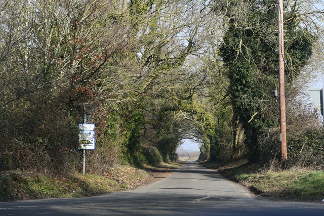
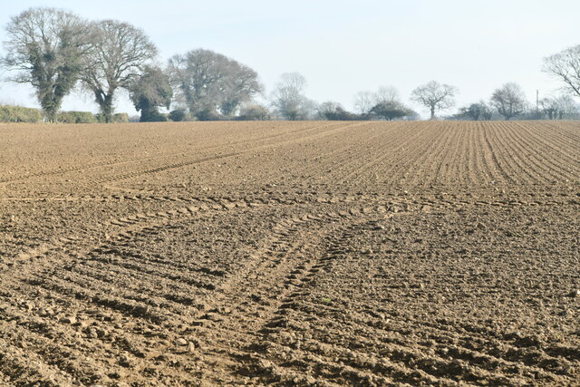
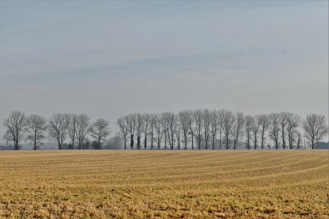
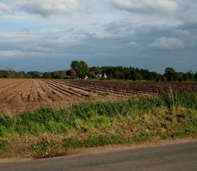
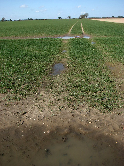
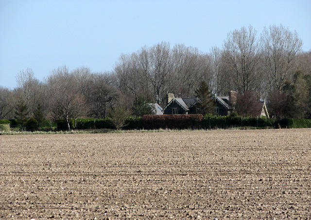
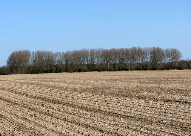
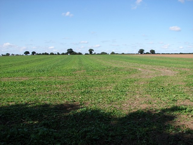
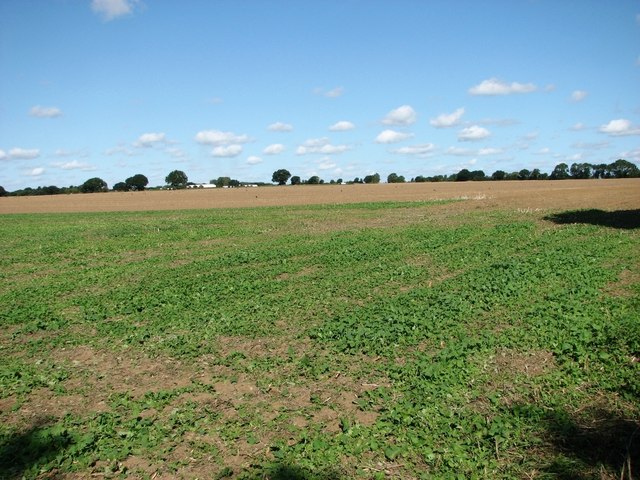
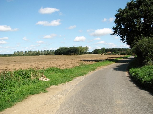
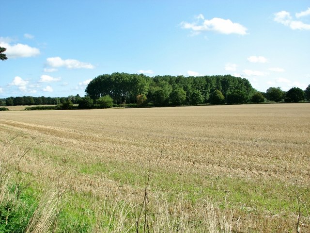
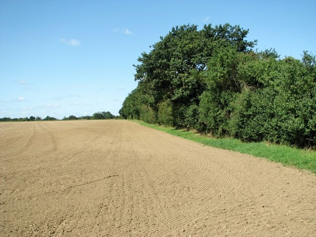
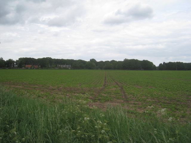
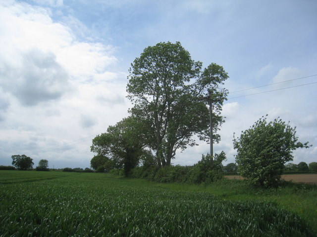
Middle Clump is a small woodland area located in Norfolk, England. Situated in the heart of the county, it is a part of the expansive Norfolk Woodlands, known for their natural beauty and diverse wildlife. Middle Clump covers an area of approximately 20 acres and is surrounded by picturesque countryside and farmland.
The woodland is characterized by a mix of deciduous and evergreen trees, including oak, beech, ash, and pine. These trees create a dense canopy, providing shade and shelter for a variety of fauna. The forest floor is covered with a thick layer of leaf litter and moss, enhancing the woodland's natural beauty.
Middle Clump is home to a rich array of wildlife, including various bird species, such as woodpeckers, owls, and songbirds, which can be heard throughout the year. Mammals such as foxes, rabbits, and deer can also be spotted in the area, particularly during dawn and dusk.
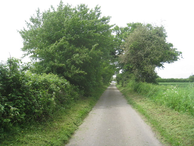
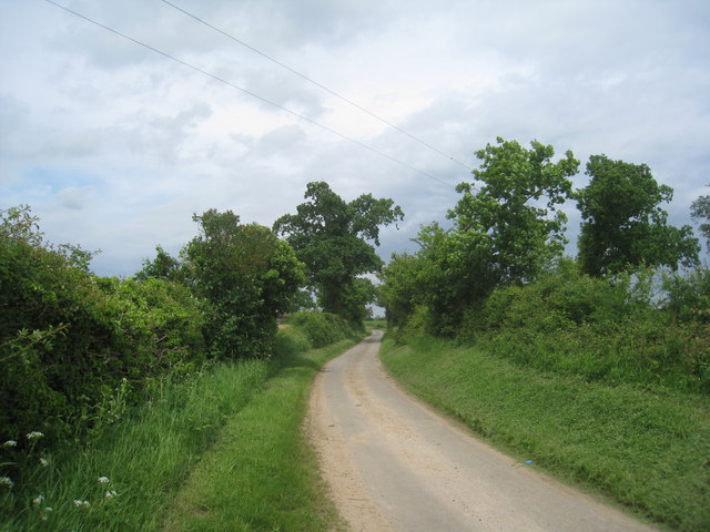
The woodland is a popular destination for nature lovers and outdoor enthusiasts, offering numerous walking trails and paths that wind through the trees. Visitors can enjoy the tranquil atmosphere and immerse themselves in the sights and sounds of nature. The area is also a haven for photographers and artists, who are drawn to its scenic beauty and tranquil ambiance.
Overall, Middle Clump is a charming woodland retreat in Norfolk, offering a peaceful escape from the hustle and bustle of everyday life. Its natural beauty and abundant wildlife make it a must-visit destination for those seeking a connection with nature.
If you have any feedback on the listing, please let us know in the comments section below.
Middle Clump Images
Images are sourced within 2km of 52.748057/1.183864 or Grid Reference TG1421. Thanks to Geograph Open Source API. All images are credited.

Middle Clump is located at Grid Ref: TG1421 (Lat: 52.748057, Lng: 1.183864)
Administrative County: Norfolk
District: Broadland
Police Authority: Norfolk
What 3 Words
///demotion.devalued.teacher. Near Cawston, Norfolk
Nearby Locations
Related Wikis
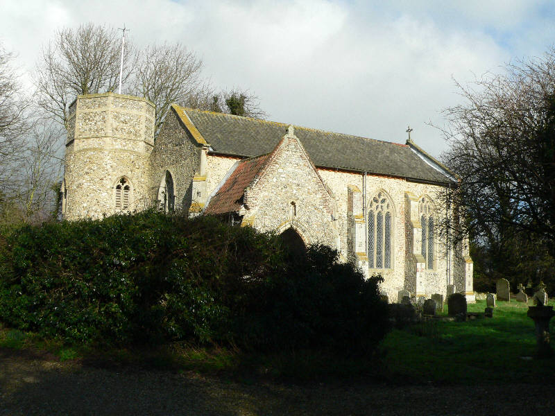
St Nicholas Church, Brandiston
St Nicholas Church is a redundant Anglican church in the village of Brandiston, Norfolk, England. It is recorded in the National Heritage List for England...

Haveringland
Haveringland is a village and civil parish in the English county of Norfolk about 8 miles (13 km) north-west of Norwich. It covers an area of 8.91 km2...

Guton
Guton was a settlement in the county of Norfolk in England mentioned in the Domesday Book as Guthetuna. It is described as being held by Osbert from Tihel...
Brandiston
Brandiston is a small village and civil parish near the centre of the county of Norfolk, England, about two miles south-east of the small market town of...

Swannington, Norfolk
Swannington is a village and civil parish in the English county of Norfolk, United Kingdom. The villages name means 'Farm/settlement connected with Swan...
Cawston, Norfolk
Cawston is a village and civil parish in the Broadland district of Norfolk, England. The village is approximately 11 miles (18 km) north of Norwich on...
St Michael the Archangel's Church, Booton
St Michael the Archangel's Church is a redundant Anglican church near the village of Booton, Norfolk, England. It is listed in the National Heritage List...

Cawston and Marsham Heaths
Cawston and Marsham Heaths is a 116.7-hectare (288-acre) biological Site of Special Scientific Interest north of Norwich in Norfolk.These heaths are dominated...
Nearby Amenities
Located within 500m of 52.748057,1.183864Have you been to Middle Clump?
Leave your review of Middle Clump below (or comments, questions and feedback).