Top Clump
Wood, Forest in Norfolk Broadland
England
Top Clump
Top Clump, Norfolk, also known as Wood or Forest, is a picturesque village located in the eastern part of England. Nestled in the heart of the Norfolk countryside, this charming village is known for its abundant greenery and tranquil atmosphere.
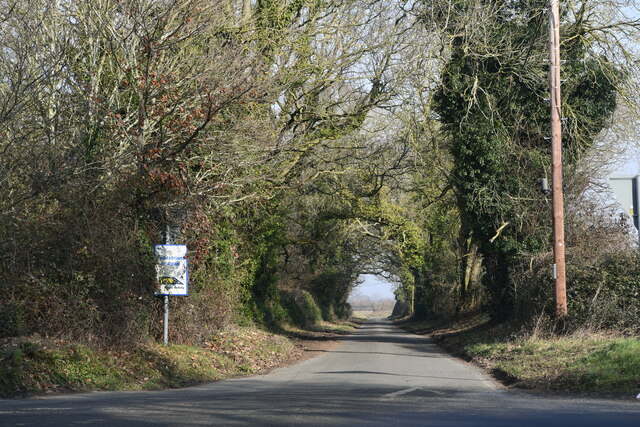
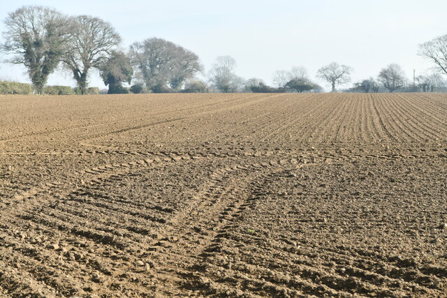
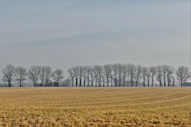
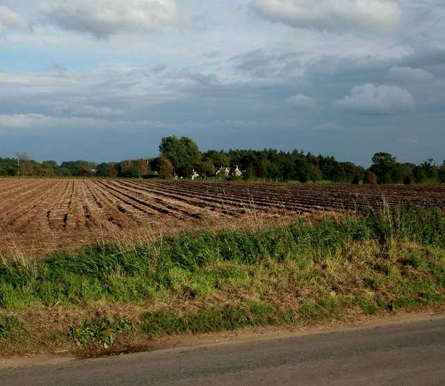
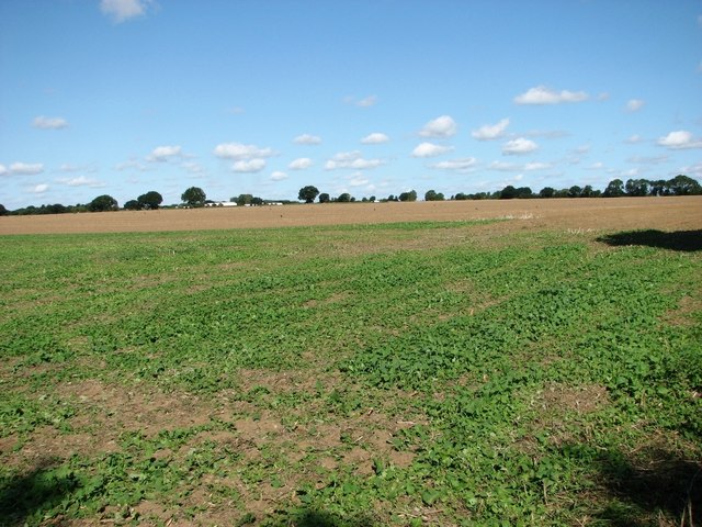
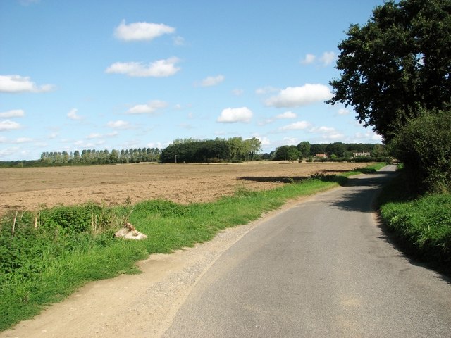
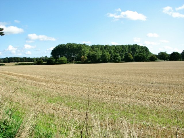
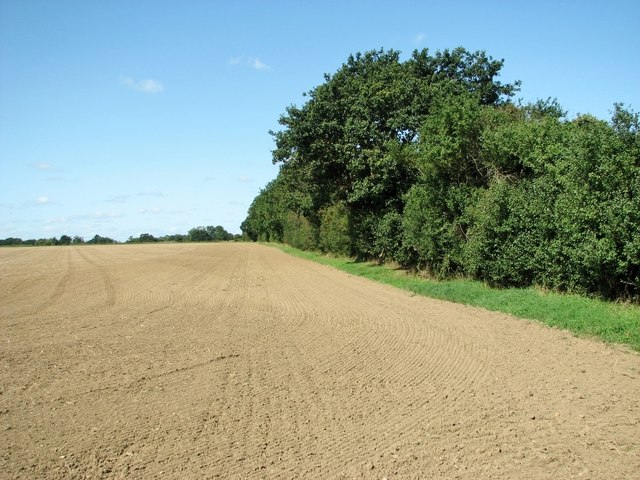
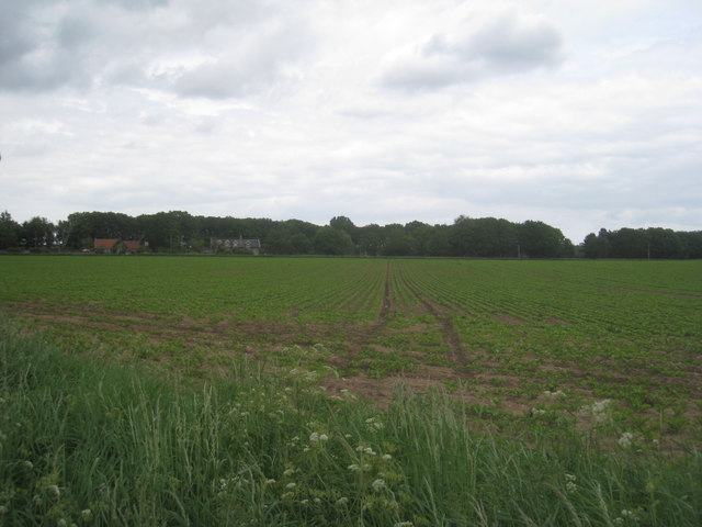
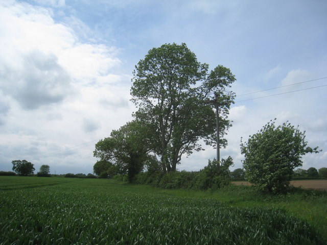
The village is surrounded by dense woodlands and sprawling forests, making it a haven for nature lovers and outdoor enthusiasts. The lush green landscape is dotted with a variety of tree species, including oak, beech, and pine, creating a stunning backdrop for walks, hikes, and picnics.
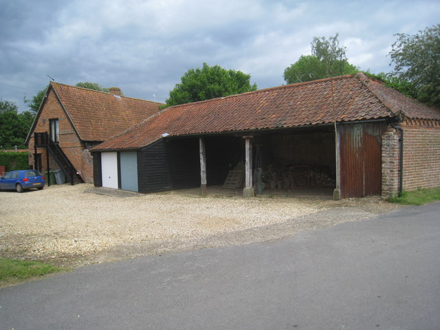
Top Clump is home to a small community of friendly and welcoming residents. The village boasts a close-knit community spirit, with regular gatherings and events that bring the locals together. The village pub, The Clump Inn, is a popular meeting spot for residents and visitors alike, offering a warm and cozy atmosphere along with traditional pub fare.
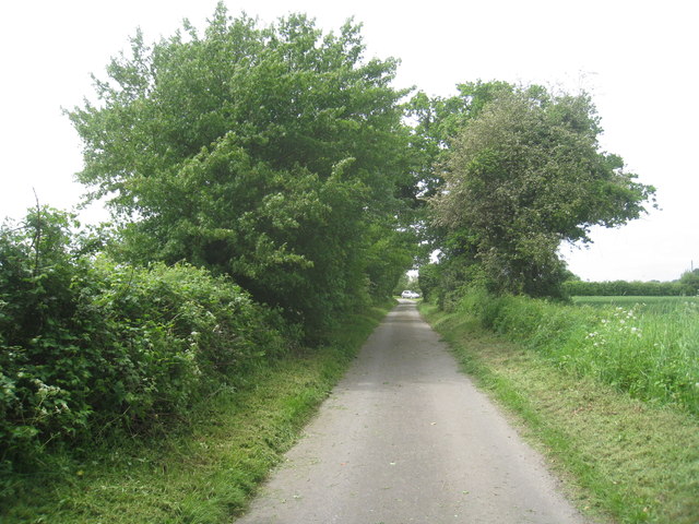
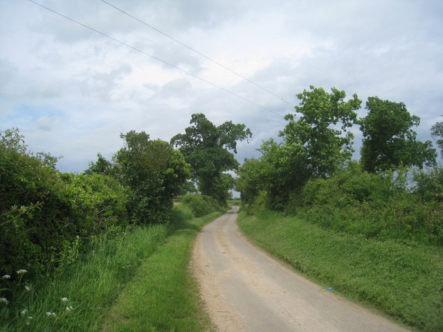
In addition to its natural beauty, Top Clump offers a range of recreational activities. The nearby forest trails provide opportunities for cycling, horse riding, and birdwatching. The village also has a well-maintained cricket ground where locals and visitors can enjoy a game on sunny days.
For those seeking a peaceful getaway, Top Clump provides a perfect retreat. Its idyllic setting, friendly community, and abundance of outdoor activities make it a wonderful destination for nature enthusiasts and those looking to escape the hustle and bustle of city life.
If you have any feedback on the listing, please let us know in the comments section below.
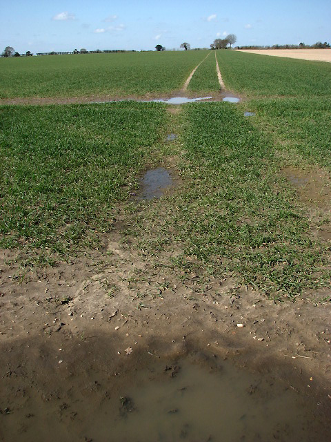
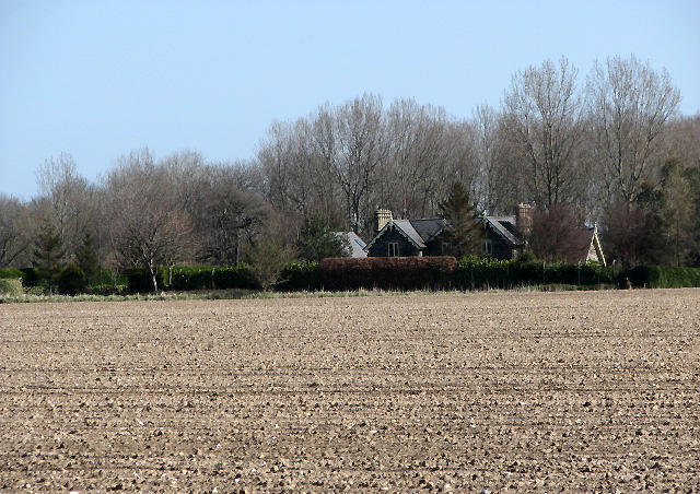
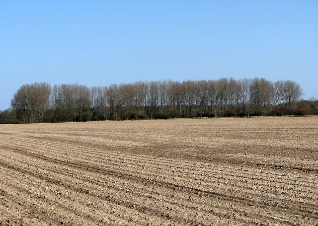
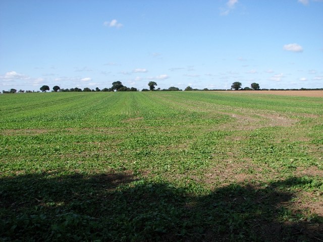
Top Clump Images
Images are sourced within 2km of 52.747949/1.1815293 or Grid Reference TG1421. Thanks to Geograph Open Source API. All images are credited.

Top Clump is located at Grid Ref: TG1421 (Lat: 52.747949, Lng: 1.1815293)
Administrative County: Norfolk
District: Broadland
Police Authority: Norfolk
What 3 Words
///hobble.stickler.hoping. Near Cawston, Norfolk
Nearby Locations
Related Wikis
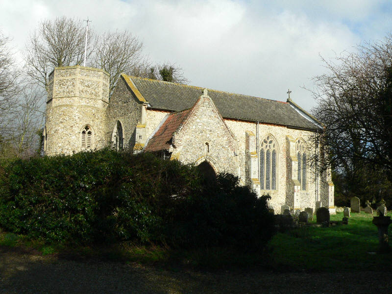
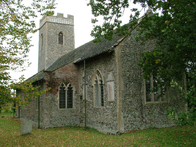
St Nicholas Church, Brandiston
St Nicholas Church is a redundant Anglican church in the village of Brandiston, Norfolk, England. It is recorded in the National Heritage List for England...

Haveringland
Haveringland is a village and civil parish in the English county of Norfolk about 8 miles (13 km) north-west of Norwich. It covers an area of 8.91 km2...

Guton
Guton was a settlement in the county of Norfolk in England mentioned in the Domesday Book as Guthetuna. It is described as being held by Osbert from Tihel...
Brandiston
Brandiston is a small village and civil parish near the centre of the county of Norfolk, England, about two miles south-east of the small market town of...

Swannington, Norfolk
Swannington is a village and civil parish in the English county of Norfolk, United Kingdom. The villages name means 'Farm/settlement connected with Swan...
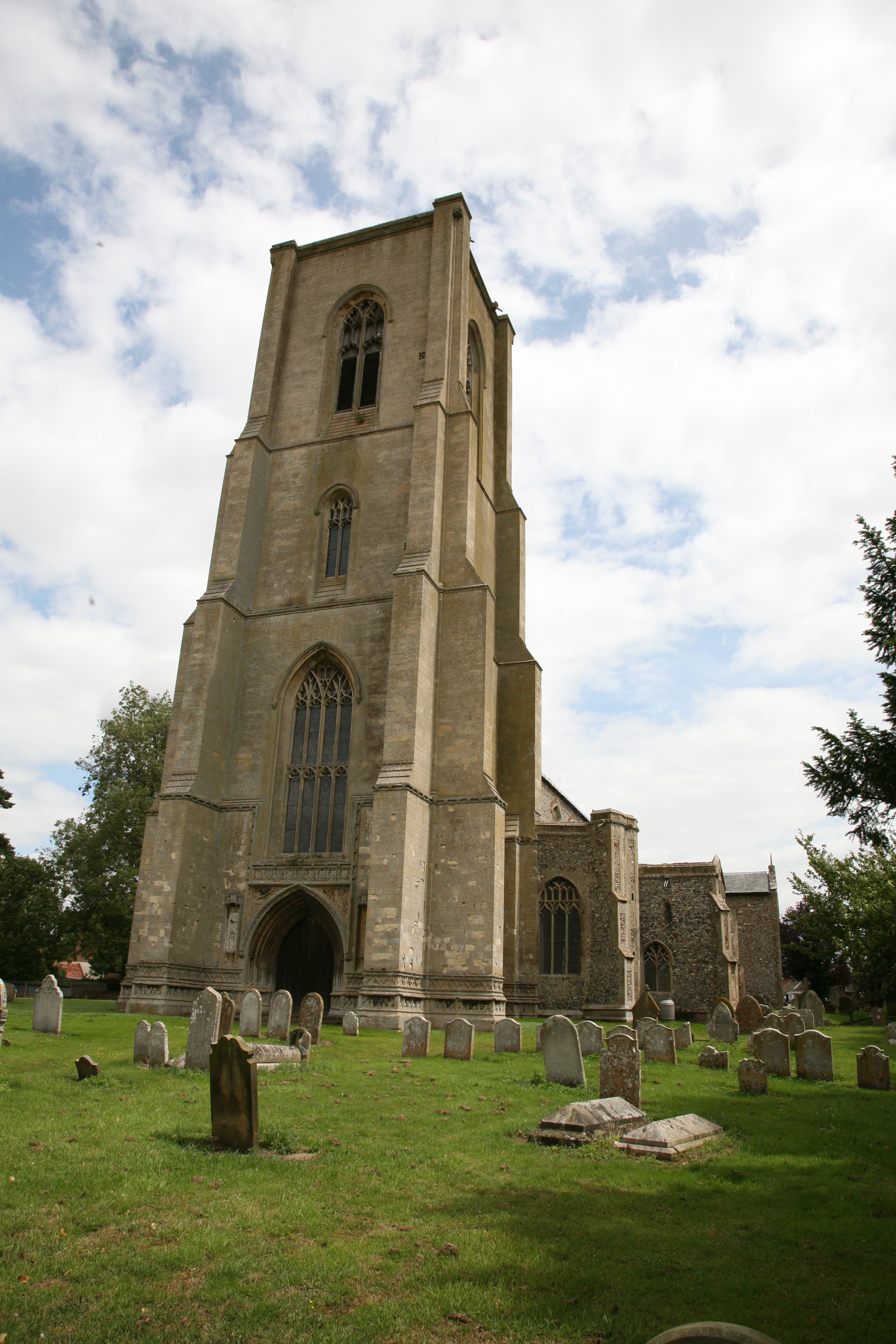
Cawston, Norfolk
Cawston is a village and civil parish in the Broadland district of Norfolk, England. The village is approximately 11 miles (18 km) north of Norwich on...
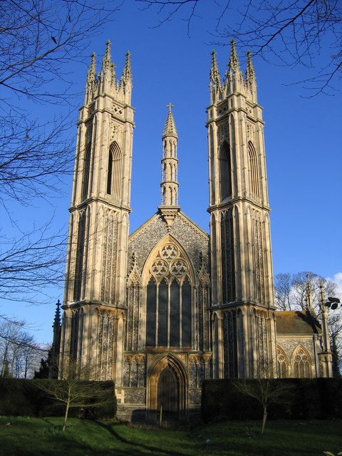
St Michael the Archangel's Church, Booton
St Michael the Archangel's Church is a redundant Anglican church near the village of Booton, Norfolk, England. It is listed in the National Heritage List...
Little Witchingham
Little Witchingham is a village and civil parish in the English county of Norfolk. It covers an area of 3.01 km2 (1.16 sq mi) and had a population of 36...
Nearby Amenities
Located within 500m of 52.747949,1.1815293Have you been to Top Clump?
Leave your review of Top Clump below (or comments, questions and feedback).