Stump Cross
Heritage Site in Norfolk Broadland
England
Stump Cross
Stump Cross, located in Norfolk, England, is a significant heritage site that holds historical and cultural importance. Situated in the heart of rural Norfolk, Stump Cross is a medieval cross that stands as a testament to the region's rich past.
Believed to have been constructed in the 14th century, Stump Cross is made of limestone and stands at an impressive height of around 4 meters. The cross is intricately carved with decorative motifs, including intricate patterns and religious symbols. It is believed to have served as a wayside shrine or marker for pilgrims traveling to nearby religious sites.
Stump Cross was an important landmark during the medieval period, providing a point of reference for travelers and marking the boundaries of parishes. Many local legends and folklore surround the cross, adding to its mystique and allure.
Today, Stump Cross is a protected heritage site, recognized for its architectural significance and historical importance. It attracts visitors from around the world who come to admire its intricate carvings and soak in the atmosphere of the surrounding countryside.
The site is maintained by local authorities, ensuring its preservation for future generations. Visitors can explore the area surrounding Stump Cross, which offers scenic views of the Norfolk landscape and provides a glimpse into the region's medieval past. With its rich history and cultural significance, Stump Cross remains an iconic symbol of Norfolk's heritage.
If you have any feedback on the listing, please let us know in the comments section below.
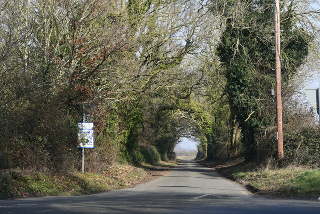
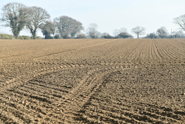
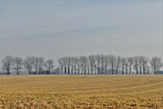
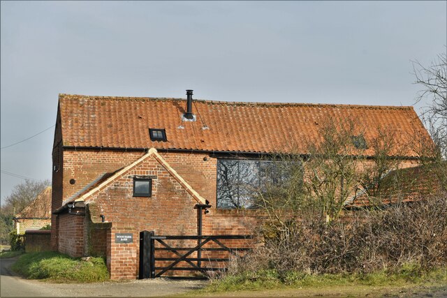
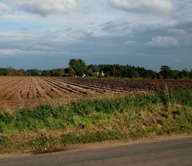
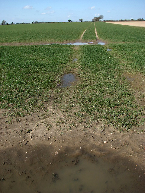
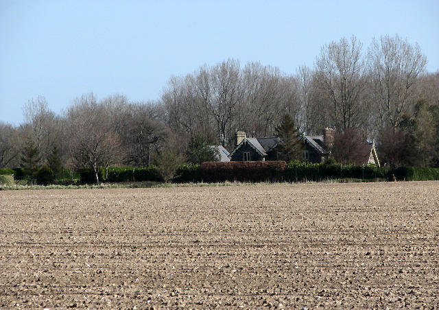
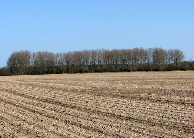
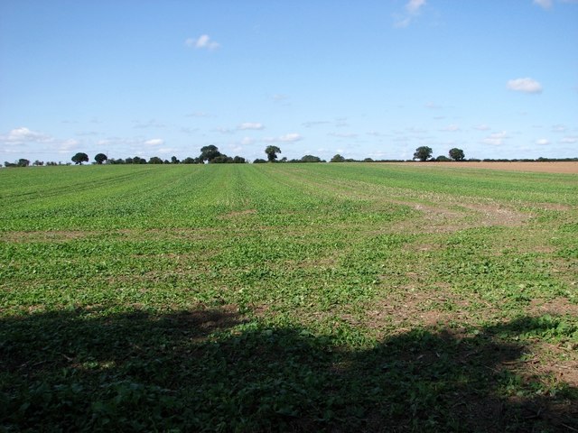
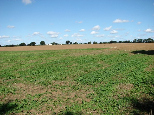
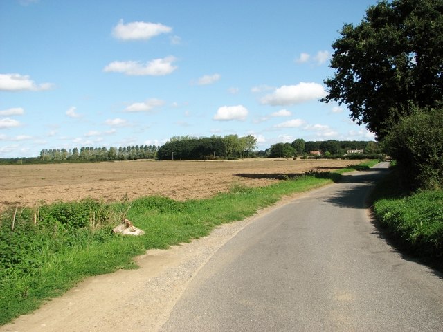
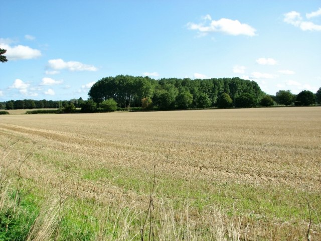
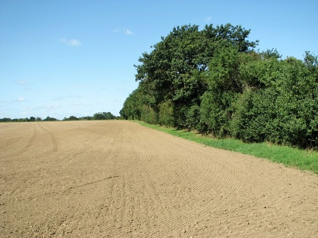
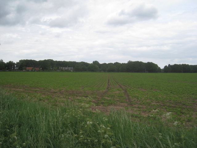
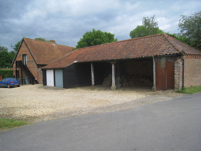
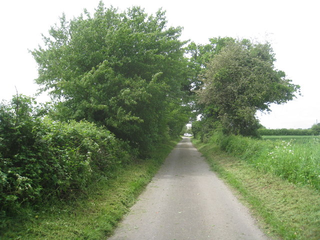
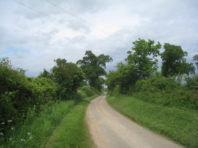
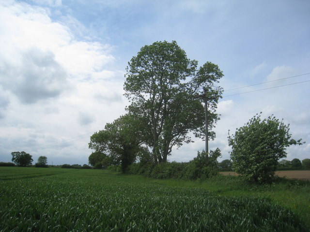
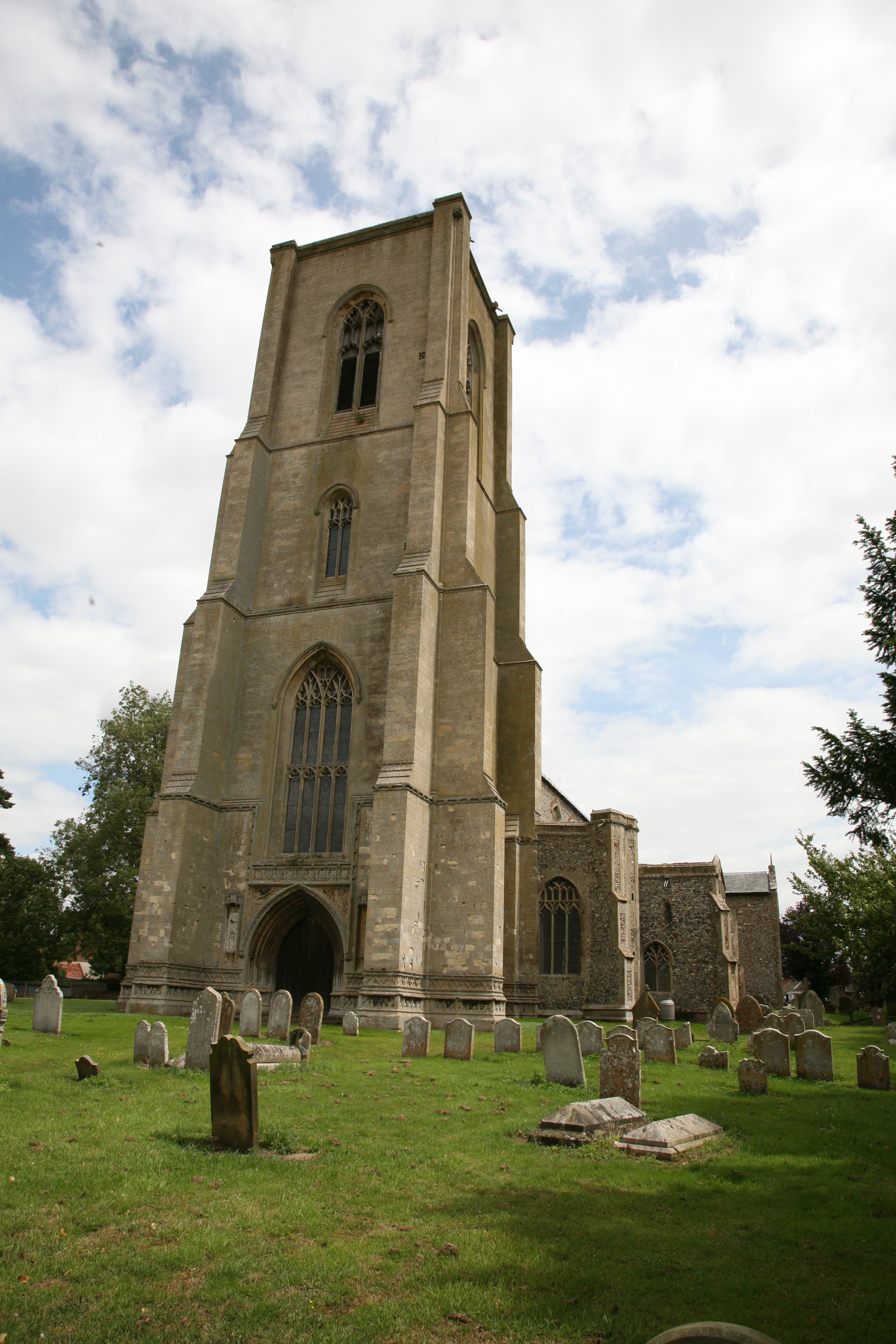
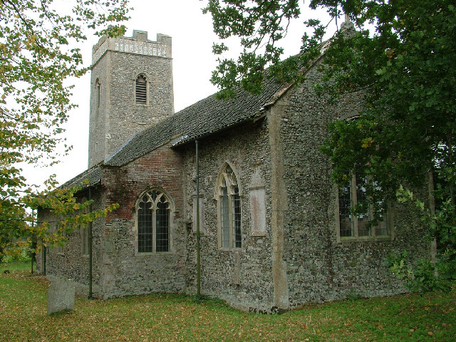
Stump Cross Images
Images are sourced within 2km of 52.748/1.178 or Grid Reference TG1421. Thanks to Geograph Open Source API. All images are credited.
Stump Cross is located at Grid Ref: TG1421 (Lat: 52.748, Lng: 1.178)
Administrative County: Norfolk
District: Broadland
Police Authority: Norfolk
What 3 Words
///memory.civil.shrubbery. Near Cawston, Norfolk
Nearby Locations
Related Wikis
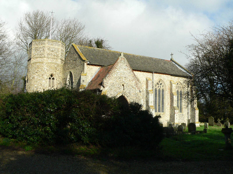
St Nicholas Church, Brandiston
St Nicholas Church is a redundant Anglican church in the village of Brandiston, Norfolk, England. It is recorded in the National Heritage List for England...

Haveringland
Haveringland is a village and civil parish in the English county of Norfolk about 8 miles (13 km) north-west of Norwich. It covers an area of 8.91 km2...

Guton
Guton was a settlement in the county of Norfolk in England mentioned in the Domesday Book as Guthetuna. It is described as being held by Osbert from Tihel...
Brandiston
Brandiston is a small village and civil parish near the centre of the county of Norfolk, England, about two miles south-east of the small market town of...

Swannington, Norfolk
Swannington is a village and civil parish in the English county of Norfolk, United Kingdom. The villages name means 'Farm/settlement connected with Swan...
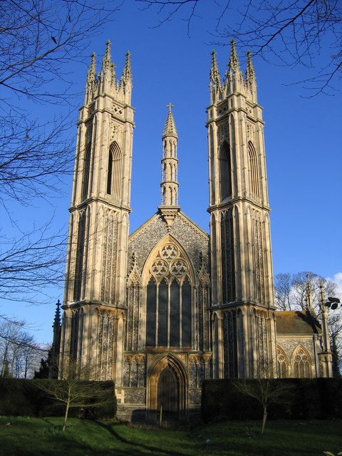
St Michael the Archangel's Church, Booton
St Michael the Archangel's Church is a redundant Anglican church near the village of Booton, Norfolk, England. It is listed in the National Heritage List...
Cawston, Norfolk
Cawston is a village and civil parish in the Broadland district of Norfolk, England. The village is approximately 11 miles (18 km) north of Norwich on...
Little Witchingham
Little Witchingham is a village and civil parish in the English county of Norfolk. It covers an area of 3.01 km2 (1.16 sq mi) and had a population of 36...
Nearby Amenities
Located within 500m of 52.748,1.178Have you been to Stump Cross?
Leave your review of Stump Cross below (or comments, questions and feedback).