Furtherpit Plantation
Wood, Forest in Norfolk Broadland
England
Furtherpit Plantation
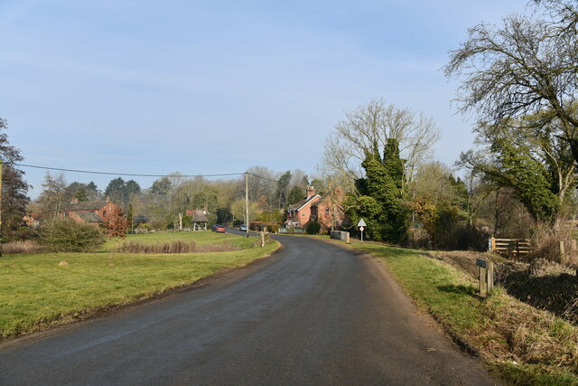
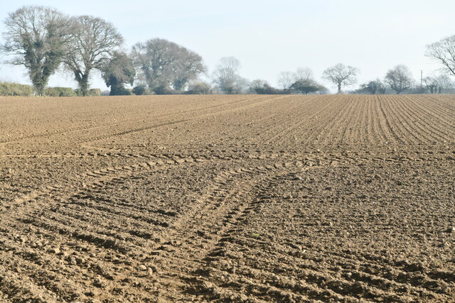
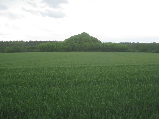
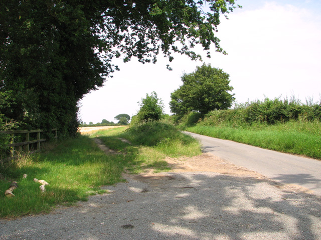
Furtherpit Plantation is a picturesque woodland located in Norfolk, England. Covering an area of approximately 150 acres, it is renowned for its diverse range of plant life and tranquil surroundings. The plantation is situated on gently sloping terrain, with a mix of deciduous and coniferous trees creating a captivating landscape.
The woodland is home to a variety of tree species, such as oak, beech, birch, and pine. These trees provide a rich habitat for numerous wildlife species, including birds, mammals, and insects. Visitors to Furtherpit Plantation can often spot squirrels scurrying among the branches or hear the melodic songs of songbirds in the air.
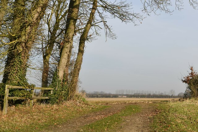
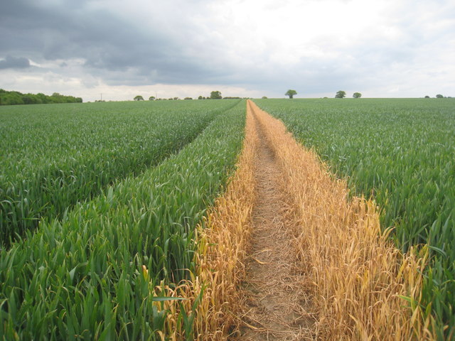
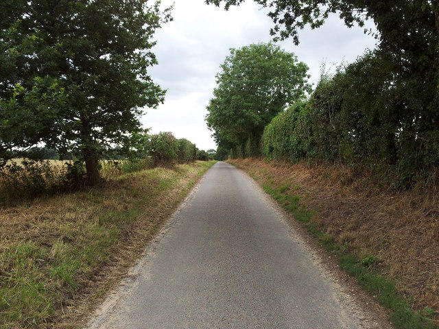
The plantation offers several well-maintained walking trails, allowing visitors to explore the natural beauty of the area. These trails wind through the trees, providing stunning views and a chance to immerse oneself in nature. The forest floor is adorned with a carpet of wildflowers during the spring and summer months, adding a burst of color to the surroundings.
Furtherpit Plantation is also a popular destination for outdoor enthusiasts. The woodland provides opportunities for activities such as birdwatching, photography, and nature study. It is a peaceful retreat, offering a tranquil escape from the hustle and bustle of everyday life.
Managed by local conservation organizations, Furtherpit Plantation ensures the protection and preservation of its natural resources. It serves as an important habitat for wildlife and contributes to the overall biodiversity of the region. Whether for a leisurely stroll, wildlife observation, or simply reconnecting with nature, Furtherpit Plantation offers a serene and enchanting experience for all who visit.
If you have any feedback on the listing, please let us know in the comments section below.
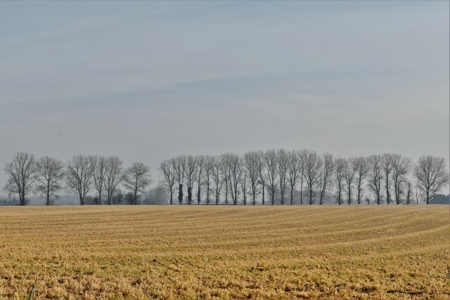
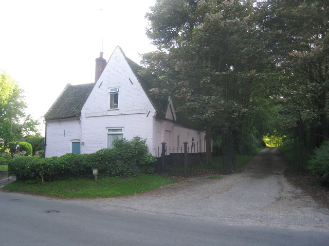
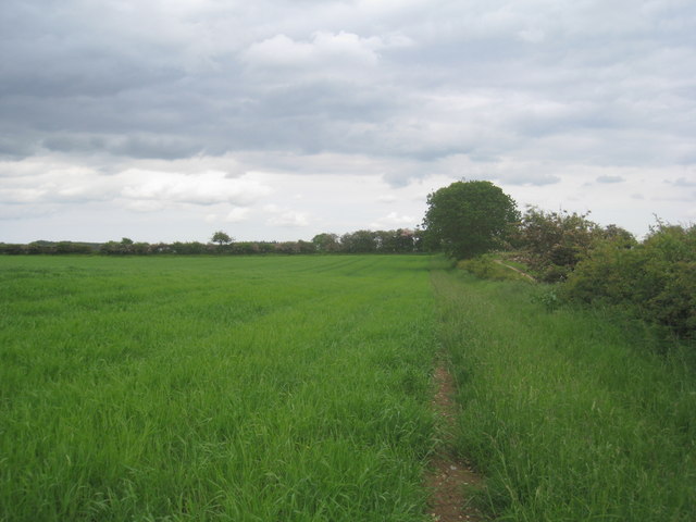
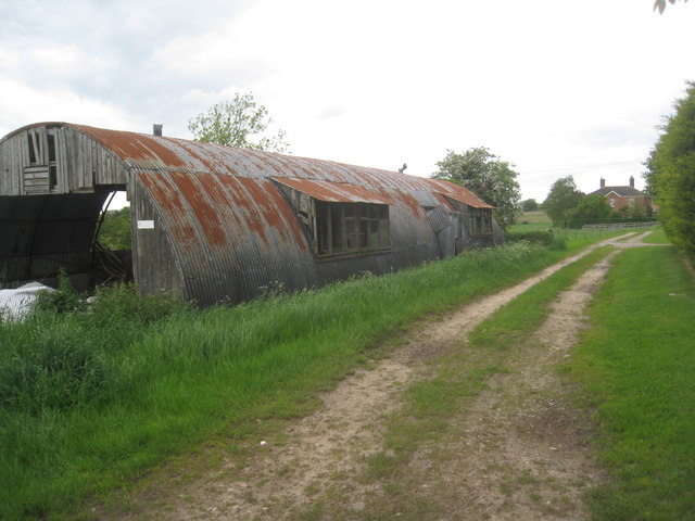
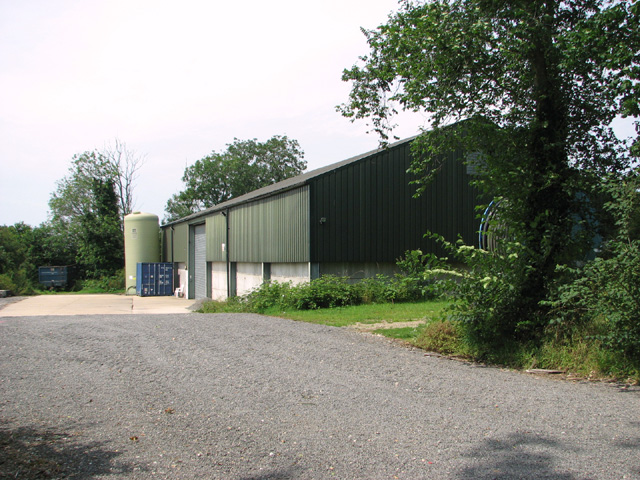
Furtherpit Plantation Images
Images are sourced within 2km of 52.737976/1.1808321 or Grid Reference TG1420. Thanks to Geograph Open Source API. All images are credited.

Furtherpit Plantation is located at Grid Ref: TG1420 (Lat: 52.737976, Lng: 1.1808321)
Administrative County: Norfolk
District: Broadland
Police Authority: Norfolk
What 3 Words
///objective.lyricist.dolphins. Near Cawston, Norfolk
Nearby Locations
Related Wikis

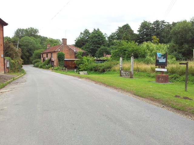
Haveringland
Haveringland is a village and civil parish in the English county of Norfolk about 8 miles (13 km) north-west of Norwich. It covers an area of 8.91 km2...
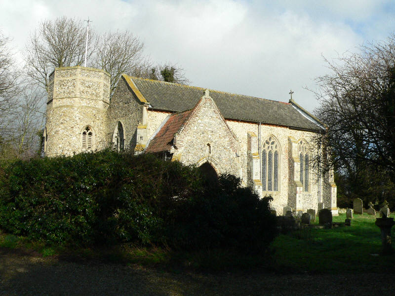
St Nicholas Church, Brandiston
St Nicholas Church is a redundant Anglican church in the village of Brandiston, Norfolk, England. It is recorded in the National Heritage List for England...

Guton
Guton was a settlement in the county of Norfolk in England mentioned in the Domesday Book as Guthetuna. It is described as being held by Osbert from Tihel...

Swannington, Norfolk
Swannington is a village and civil parish in the English county of Norfolk, United Kingdom. The villages name means 'Farm/settlement connected with Swan...
Nearby Amenities
Located within 500m of 52.737976,1.1808321Have you been to Furtherpit Plantation?
Leave your review of Furtherpit Plantation below (or comments, questions and feedback).