Shrub Wood
Wood, Forest in Suffolk Babergh
England
Shrub Wood
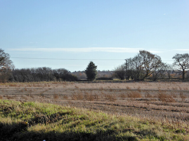
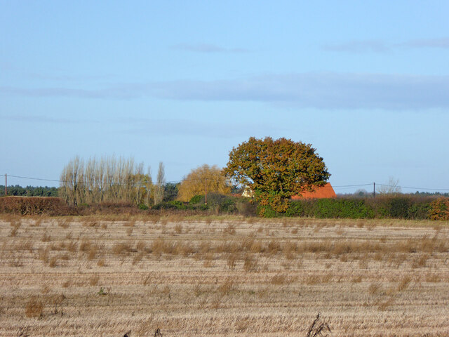
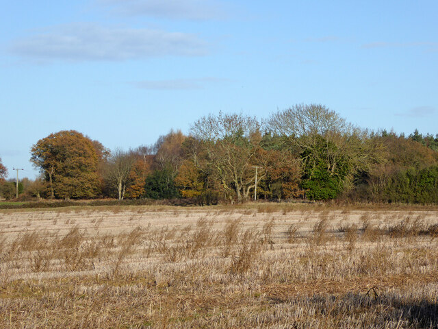
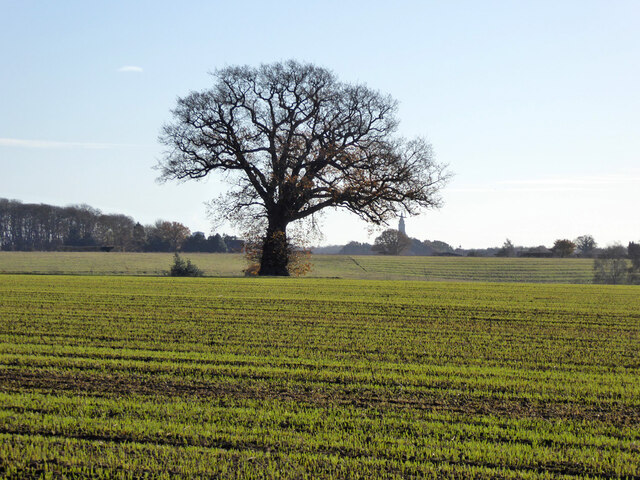
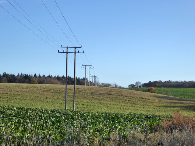
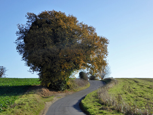
Shrub Wood is a picturesque forest located in Suffolk, England. Covering an area of approximately 500 acres, this woodland is a haven for nature enthusiasts and outdoor adventurers alike. The forest is situated in the heart of the county, providing a tranquil escape from the hustle and bustle of nearby towns and cities.
The woodland is predominantly composed of shrubs and small trees, hence its name. The diverse range of plant species found in Shrub Wood creates a rich and varied ecosystem, supporting a wide array of wildlife. Visitors can expect to encounter an abundance of birds, mammals, and insects as they explore the forest.
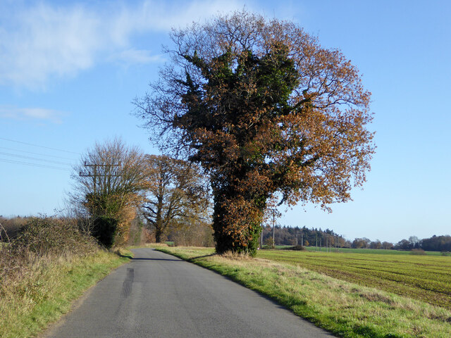
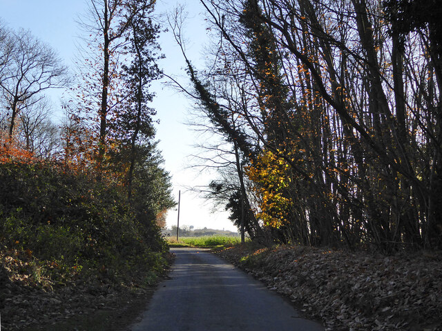
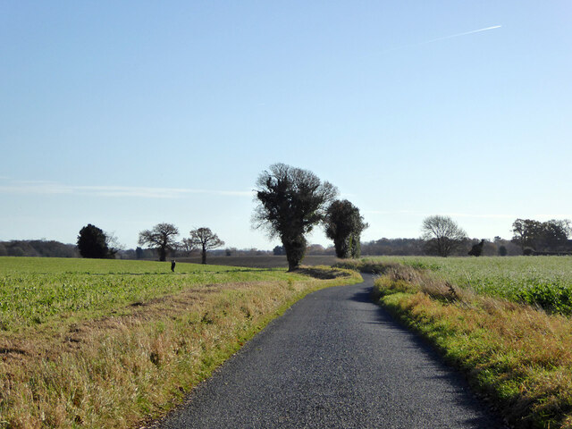
The forest boasts a network of well-maintained walking trails, allowing visitors to fully immerse themselves in the natural beauty of the surroundings. These trails wind through the woodland, taking hikers past ancient trees, wildflower meadows, and peaceful streams. Nature lovers can also enjoy birdwatching, as the forest is home to various species including woodpeckers, owls, and herons.
Shrub Wood is an ideal destination for those seeking outdoor recreational activities. It offers opportunities for camping, picnicking, and wildlife photography. Additionally, there are designated areas for mountain biking and horseback riding, catering to visitors with varying interests.
Whether it's a leisurely stroll through the trees or an adventurous exploration of the forest trails, Shrub Wood in Suffolk provides a serene and enchanting experience for nature enthusiasts of all ages.
If you have any feedback on the listing, please let us know in the comments section below.
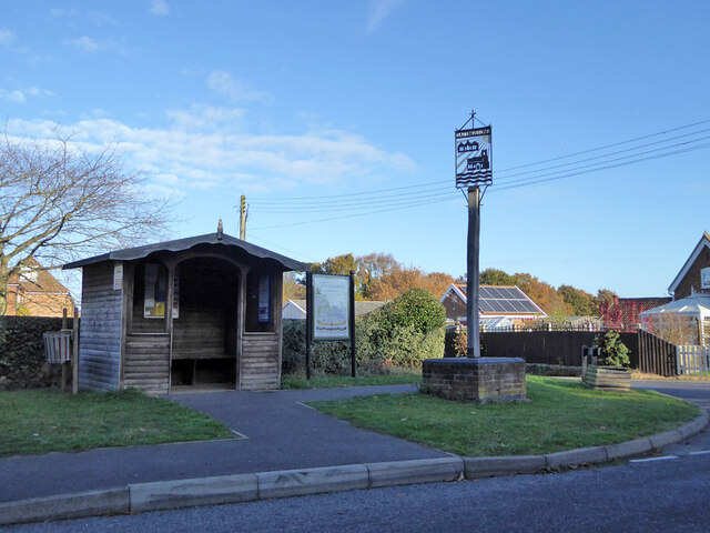
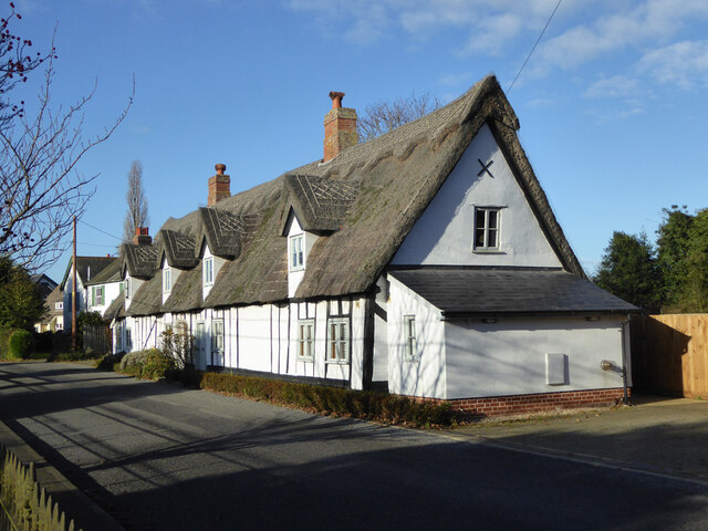
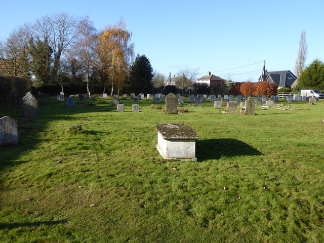
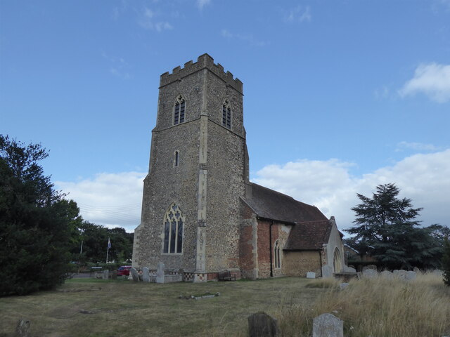
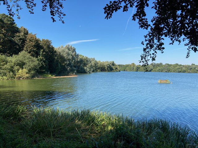
Shrub Wood Images
Images are sourced within 2km of 52.00193/1.1246182 or Grid Reference TM1438. Thanks to Geograph Open Source API. All images are credited.
Shrub Wood is located at Grid Ref: TM1438 (Lat: 52.00193, Lng: 1.1246182)
Administrative County: Suffolk
District: Babergh
Police Authority: Suffolk
What 3 Words
///skill.character.yacht. Near Holbrook, Suffolk
Nearby Locations
Related Wikis

Blackbourn Hundred
Blackbourn was a hundred of Suffolk, consisting of 66,272 acres (26,819 ha). Blackbourn hundred was situated in the north-west of Suffolk. Its northern...
Samford Hundred
Samford was a hundred of Suffolk, consisting of 44,940 acres (181.9 km2). It was situated to the south and south west of Ipswich. The hundred was bounded...

Freston and Cutler's Woods with Holbrook Park
Freston and Cutler's Woods with Holbrook Park is a 142 hectare biological Site of Special Scientific Interest south of Ipswich in Suffolk. The site is...

Tattingstone
Tattingstone is a village and civil parish in Suffolk, England. It is situated on the Shotley peninsula, about 5 miles (8 km) south of Ipswich. The 2011...
Related Videos


Stour and Orwell Walk Stage 4 Pin Mill to Lower Holbrook 11.5m/ 18.5 km 8/12/19 #longdistancewalk
We embarked on Stage 4 of the Stour & Orwell walk, Pin Mill to Lower Holbrook 11.5 miles/ 18.5 Kilometers. This was a ...
Jimmy's Farm 15/01/22
A fun filled day out with camping friends.
Nearby Amenities
Located within 500m of 52.00193,1.1246182Have you been to Shrub Wood?
Leave your review of Shrub Wood below (or comments, questions and feedback).