Holbrook Park
Wood, Forest in Suffolk Babergh
England
Holbrook Park
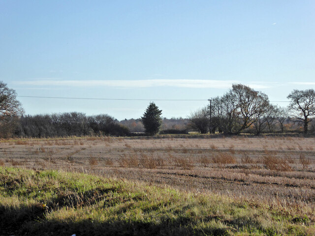
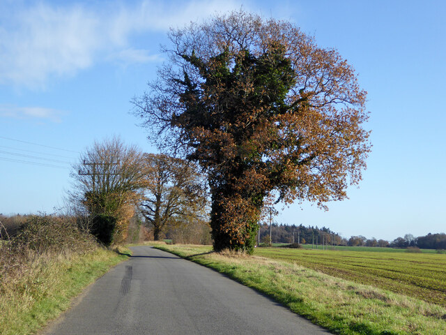
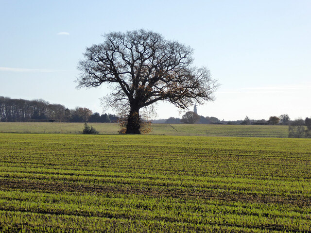
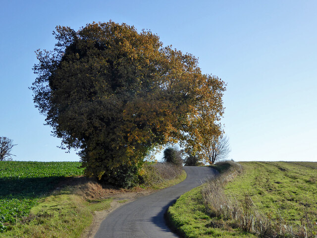
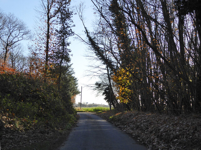
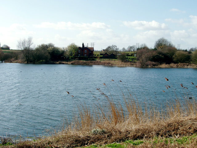
Holbrook Park, located in Suffolk, England, is a picturesque wood and forest area that spans across a vast expanse of approximately 100 acres. The park is nestled amidst the stunning countryside scenery, offering visitors an enchanting escape into nature.
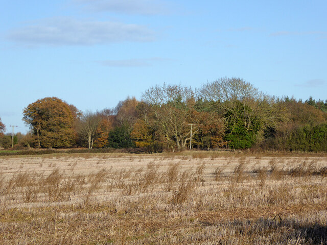
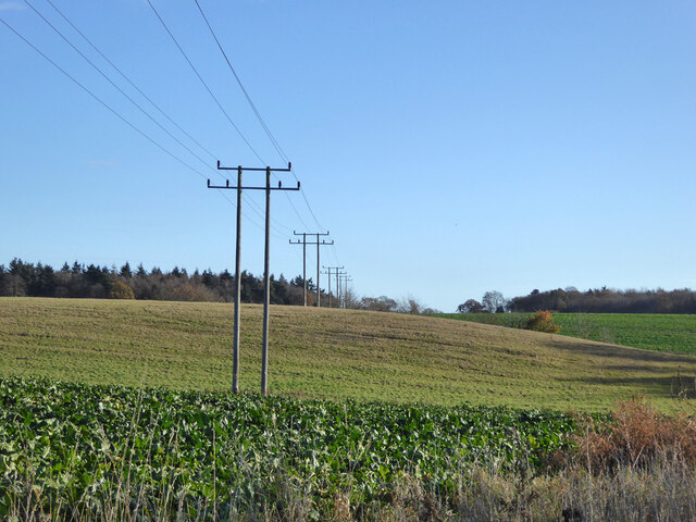
The park is renowned for its rich biodiversity and is home to a diverse range of flora and fauna. The woodlands are dominated by a variety of tree species, including oak, beech, and ash, creating a dense canopy that provides a haven for numerous bird species. The forest floor is adorned with a carpet of wildflowers, adding a burst of color to the surroundings.
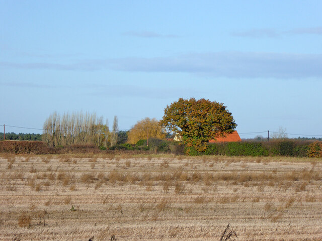
Visitors to Holbrook Park can explore the well-maintained network of walking trails that wind their way through the forest, providing an opportunity to immerse oneself in the tranquility and beauty of the natural surroundings. The park also offers designated picnic areas, where visitors can relax and enjoy a leisurely lunch amidst the peaceful ambiance.
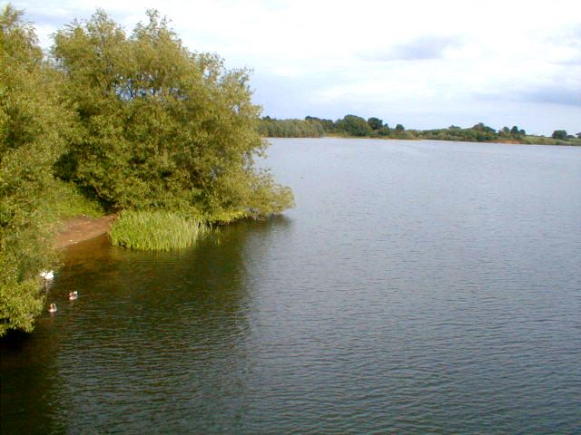
For those interested in wildlife spotting, Holbrook Park boasts a thriving ecosystem that supports a range of animals. Deer, foxes, and badgers can often be spotted foraging in the undergrowth, while the nearby pond attracts a variety of aquatic creatures, including frogs and newts.
Holbrook Park is a popular destination for nature lovers, hikers, and families seeking a day out in the countryside. Its idyllic setting, combined with its abundant flora and fauna, make it a true gem in the heart of Suffolk.
If you have any feedback on the listing, please let us know in the comments section below.
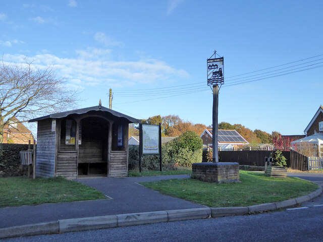
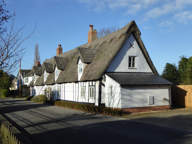
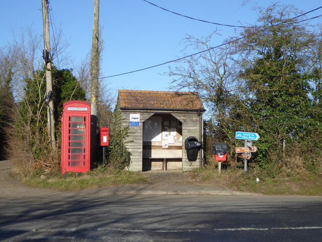
Holbrook Park Images
Images are sourced within 2km of 52.004935/1.1279754 or Grid Reference TM1438. Thanks to Geograph Open Source API. All images are credited.

Holbrook Park is located at Grid Ref: TM1438 (Lat: 52.004935, Lng: 1.1279754)
Administrative County: Suffolk
District: Babergh
Police Authority: Suffolk
What 3 Words
///irritated.change.masses. Near Holbrook, Suffolk
Nearby Locations
Related Wikis

Freston and Cutler's Woods with Holbrook Park
Freston and Cutler's Woods with Holbrook Park is a 142 hectare biological Site of Special Scientific Interest south of Ipswich in Suffolk. The site is...

Blackbourn Hundred
Blackbourn was a hundred of Suffolk, consisting of 66,272 acres (26,819 ha). Blackbourn hundred was situated in the north-west of Suffolk. Its northern...
Samford Hundred
Samford was a hundred of Suffolk, consisting of 44,940 acres (181.9 km2). It was situated to the south and south west of Ipswich. The hundred was bounded...
Jimmy's Farm
Jimmy's Farm is a British television series set in a working rare-breed farm, tourist destination and wedding venue in Wherstead, Suffolk. The series is...
Nearby Amenities
Located within 500m of 52.004935,1.1279754Have you been to Holbrook Park?
Leave your review of Holbrook Park below (or comments, questions and feedback).