Nursery Plantation
Wood, Forest in Norfolk Broadland
England
Nursery Plantation
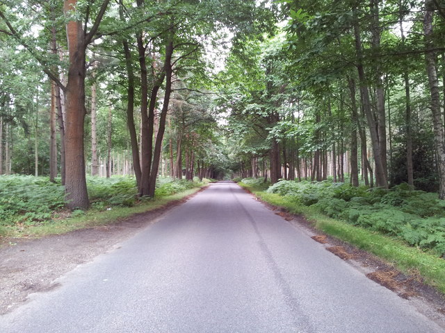
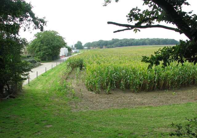
Nursery Plantation, located in Norfolk, England, is a picturesque woodland area known for its lush greenery and serene atmosphere. This plantation encompasses a vast area of land dedicated to nurturing and cultivating various species of plants and trees, making it a haven for nature enthusiasts and horticulturalists alike.
The plantation is primarily focused on the growth and production of nursery plants, which are typically young plants or saplings that are nurtured until they are ready for transplantation. With its favorable climate and fertile soil, Nursery Plantation is an ideal location for such activities. The plantation boasts a wide range of plant varieties, including ornamental plants, shrubs, and flowering trees, catering to the diverse needs of customers.
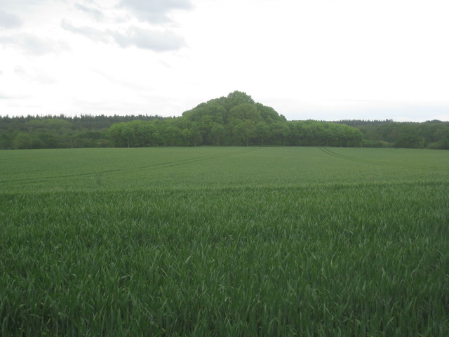
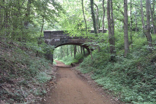
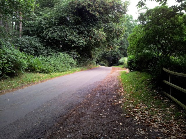
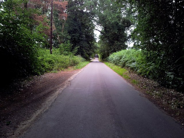
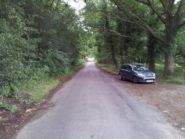
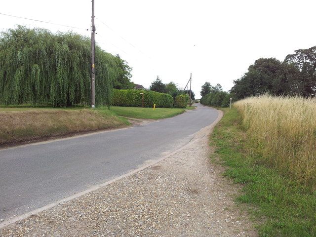
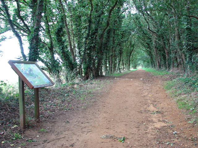
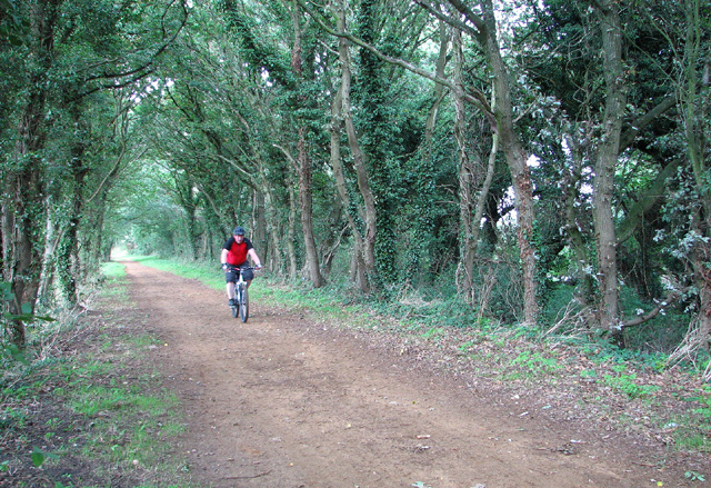
The woodland setting of Nursery Plantation provides a tranquil environment, making it a popular destination for those seeking solace in nature. The tall, majestic trees that dominate the landscape create a dense canopy, allowing visitors to escape the hustle and bustle of urban life. The plantation also offers well-maintained walking trails and picnic areas, inviting visitors to immerse themselves in the beauty of nature.
Moreover, Nursery Plantation plays a vital role in environmental conservation. The plantation actively participates in tree planting initiatives, contributing to the restoration of natural habitats and the reduction of carbon emissions. It also serves as an educational platform, hosting workshops and seminars on sustainable gardening practices and biodiversity conservation.
In summary, Nursery Plantation in Norfolk, England, is a thriving woodland area that serves as a hub for nurturing and cultivating nursery plants. With its diverse range of plant species, peaceful ambiance, and commitment to environmental conservation, it is a cherished destination for nature lovers and a valuable resource for the local community.
If you have any feedback on the listing, please let us know in the comments section below.
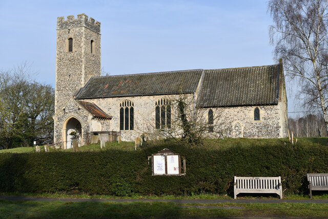
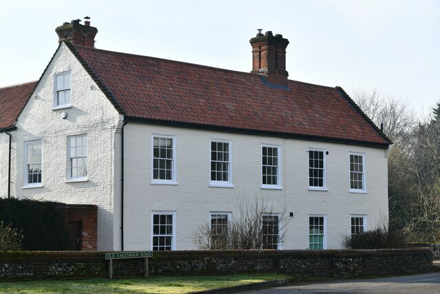
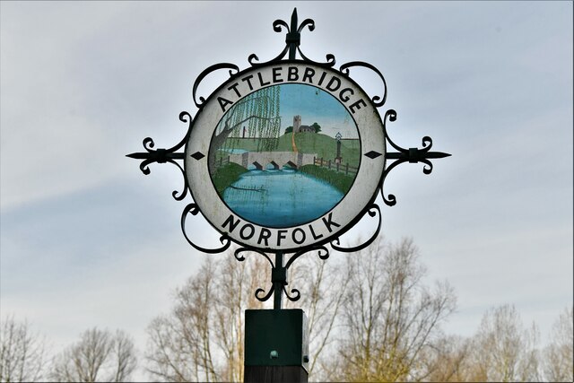
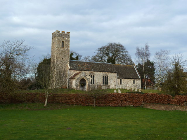
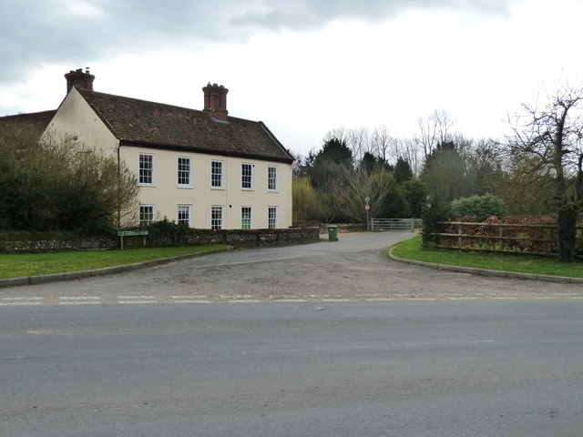
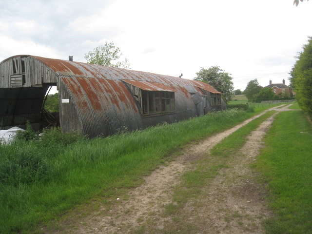
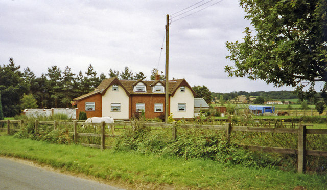
Nursery Plantation Images
Images are sourced within 2km of 52.709642/1.1783399 or Grid Reference TG1417. Thanks to Geograph Open Source API. All images are credited.
Nursery Plantation is located at Grid Ref: TG1417 (Lat: 52.709642, Lng: 1.1783399)
Administrative County: Norfolk
District: Broadland
Police Authority: Norfolk
What 3 Words
///generated.interlude.daily. Near Horsford, Norfolk
Nearby Locations
Related Wikis

Swannington Upgate Common
Swannington Upgate Common is a 20.5-hectare (51-acre) biological Site of Special Scientific Interest north-west of Norwich in Norfolk.This site has varied...

1966 Felthorpe Trident crash
On 3 June 1966, a newly built Hawker Siddeley Trident jetliner crashed during a pre-delivery test flight near the village of Felthorpe, Norfolk, England...

Broadland (UK Parliament constituency)
Broadland is a Norfolk constituency, which has been represented in the House of Commons of the UK Parliament since the 2019 general election by Jerome...

Attlebridge railway station
Attlebridge railway station is a closed station in Norfolk, England. It served the small village of Attlebridge. It was constructed by the Midland and...

Attlebridge
Attlebridge is a village and civil parish in the English county of Norfolk. It is situated about 8 miles (13 km) north-west of Norwich, where the A1067...

Alderford Common
Alderford Common is a 17.5-hectare (43-acre) biological Site of Special Scientific Interest north-west of Norwich in Norfolk.The common has a thin layer...

Felthorpe
Felthorpe is a village and civil parish in the English county of Norfolk. The village is located 11 miles (18 km) east of Dereham and 7.1 miles (11.4 km...

Swannington, Norfolk
Swannington is a village and civil parish in the English county of Norfolk, United Kingdom. The villages name means 'Farm/settlement connected with Swan...
Nearby Amenities
Located within 500m of 52.709642,1.1783399Have you been to Nursery Plantation?
Leave your review of Nursery Plantation below (or comments, questions and feedback).