Broom Plantation
Wood, Forest in Norfolk Broadland
England
Broom Plantation
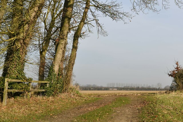
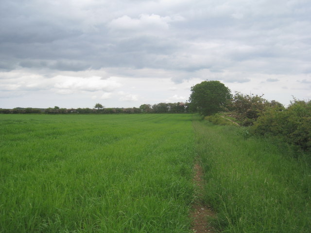
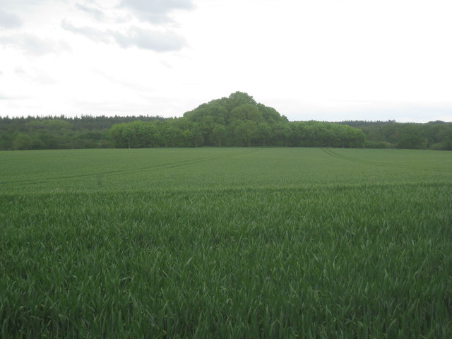
Broom Plantation is a picturesque woodland located in Norfolk, England. Situated in close proximity to the town of Wood, this plantation covers a vast area of dense forest, offering an enchanting and serene escape for nature enthusiasts and outdoor adventurers alike.
The plantation is primarily characterized by its abundance of broom plants, which lend their name to the area. Broom is a common shrub found in the region, with vibrant yellow flowers that bloom in late spring, creating a mesmerizing display of color throughout the plantation. The broom plants, along with other native flora, contribute to the overall biodiversity and natural beauty of the woodland.
Walking through Broom Plantation, visitors can expect to encounter a rich variety of wildlife. The forest is home to numerous species of birds, including woodpeckers, thrushes, and owls, providing a delightful chorus of sounds for those exploring the area. Squirrels and rabbits can also be spotted darting among the trees, adding to the charm and natural appeal of the plantation.
In addition to its natural splendor, Broom Plantation offers a network of well-maintained trails, making it an ideal destination for hikers, joggers, and dog walkers. These trails wind through the dense woodland, providing opportunities for both leisurely strolls and more challenging hikes. The plantation also features several picnic areas, allowing visitors to relax and enjoy a meal amidst the tranquil surroundings.
Overall, Broom Plantation is a captivating woodland retreat, offering a harmonious blend of scenic beauty, wildlife, and recreational opportunities. Whether seeking solace in nature or embarking on an outdoor adventure, this plantation in Norfolk promises a memorable experience for all who visit.
If you have any feedback on the listing, please let us know in the comments section below.
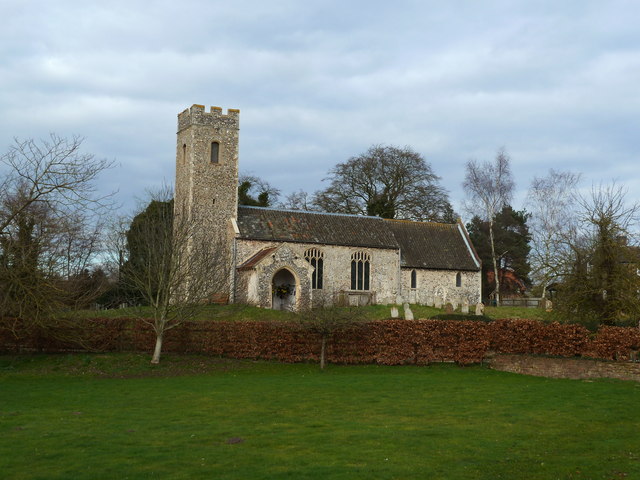
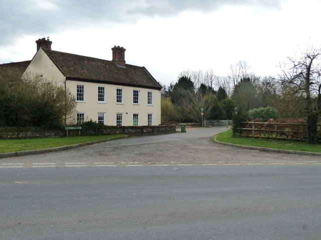
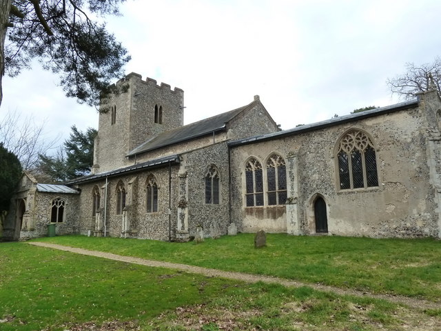
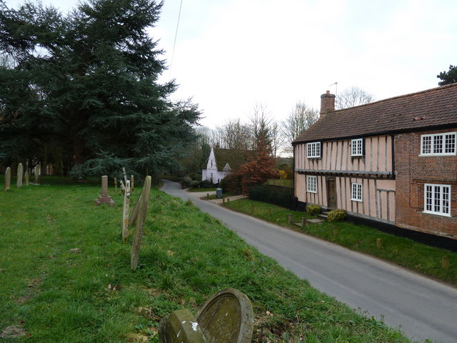
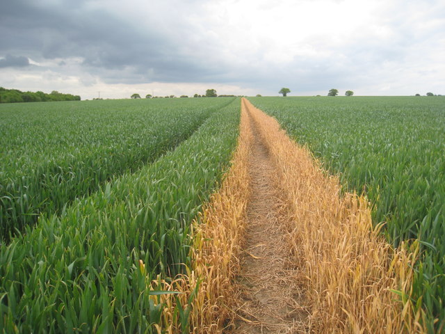
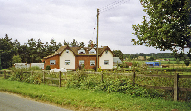
Broom Plantation Images
Images are sourced within 2km of 52.715419/1.1715183 or Grid Reference TG1417. Thanks to Geograph Open Source API. All images are credited.
Broom Plantation is located at Grid Ref: TG1417 (Lat: 52.715419, Lng: 1.1715183)
Administrative County: Norfolk
District: Broadland
Police Authority: Norfolk
What 3 Words
///remembers.refrained.string. Near Horsford, Norfolk
Nearby Locations
Related Wikis

Swannington Upgate Common
Swannington Upgate Common is a 20.5-hectare (51-acre) biological Site of Special Scientific Interest north-west of Norwich in Norfolk.This site has varied...

Broadland (UK Parliament constituency)
Broadland is a Norfolk constituency, which has been represented in the House of Commons of the UK Parliament since the 2019 general election by Jerome...

Attlebridge railway station
Attlebridge railway station is a closed station in Norfolk, England. It served the small village of Attlebridge. It was constructed by the Midland and...

Alderford Common
Alderford Common is a 17.5-hectare (43-acre) biological Site of Special Scientific Interest north-west of Norwich in Norfolk.The common has a thin layer...

Swannington, Norfolk
Swannington is a village and civil parish in the English county of Norfolk, United Kingdom. The villages name means 'Farm/settlement connected with Swan...

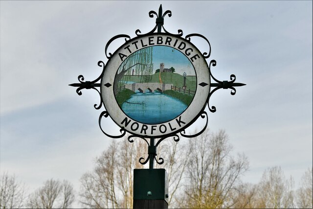
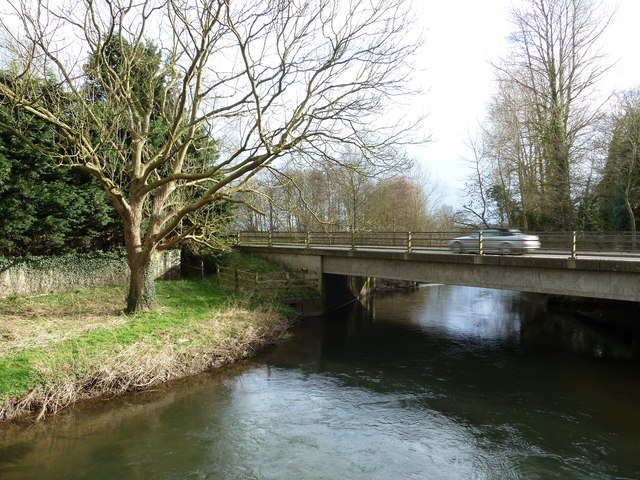
Attlebridge
Attlebridge is a village and civil parish in the English county of Norfolk. It is situated about 8 miles (13 km) north-west of Norwich, where the A1067...

1966 Felthorpe Trident crash
On 3 June 1966, a newly built Hawker Siddeley Trident jetliner crashed during a pre-delivery test flight near the village of Felthorpe, Norfolk, England...

Alderford
Alderford is a village and civil parish in the English county of Norfolk, about ten miles (16 km) north-west of Norwich. The name 'Alderford' derives from...
Nearby Amenities
Located within 500m of 52.715419,1.1715183Have you been to Broom Plantation?
Leave your review of Broom Plantation below (or comments, questions and feedback).