Well Wood

Wood, Forest in Kent Canterbury

England

Well Wood

A house in White Hill Close A short road of 16 houses in the tiny village of Lower Hardres.
A house in White Hill Close Credit: Adrian Beaumont

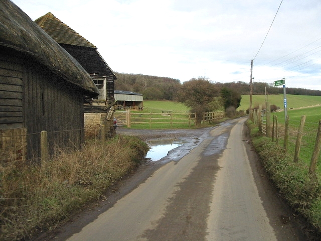
Well Wood is a picturesque woodland located in the county of Kent, England. Situated near the village of Well, the wood covers an area of approximately 50 hectares and is part of the larger Blean Woods complex. Well Wood is characterized by its diverse range of tree species, including oak, beech, birch, and hazel, which create a lush and vibrant environment.

The wood boasts a rich history, with evidence of human activity dating back to the Bronze Age. Well Wood has also been a source of timber for centuries, and remnants of old charcoal platforms can still be found within its boundaries. Today, the woodland is protected under the ownership of the Forestry Commission, ensuring its preservation for future generations.

Well Wood offers a haven for wildlife, with an abundance of flora and fauna. The woodland provides a habitat for various bird species, such as woodpeckers, owls, and warblers, making it a popular destination for birdwatchers. Additionally, the wood is home to mammals like deer, foxes, and badgers, which can often be spotted by lucky visitors.

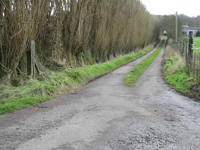
Numerous walking trails meander through Well Wood, allowing visitors to explore the natural beauty of the area. These paths offer stunning views of the woodland, and in springtime, visitors are treated to a colorful display of bluebells carpeting the forest floor. The peace and tranquility of Well Wood make it an ideal location for nature lovers, hikers, and those seeking a break from the hustle and bustle of everyday life.

If you have any feedback on the listing, please let us know in the comments section below.
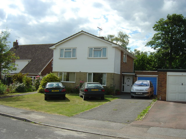
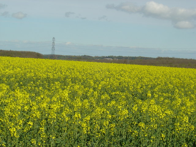
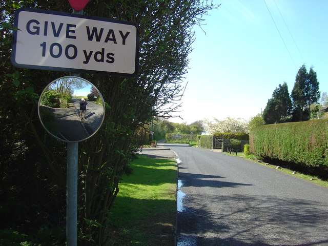
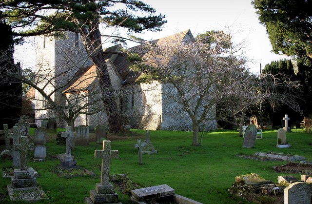
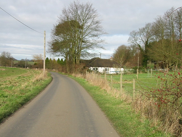
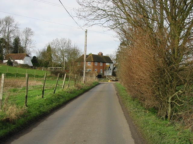
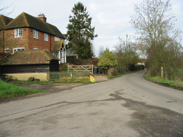
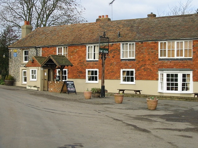
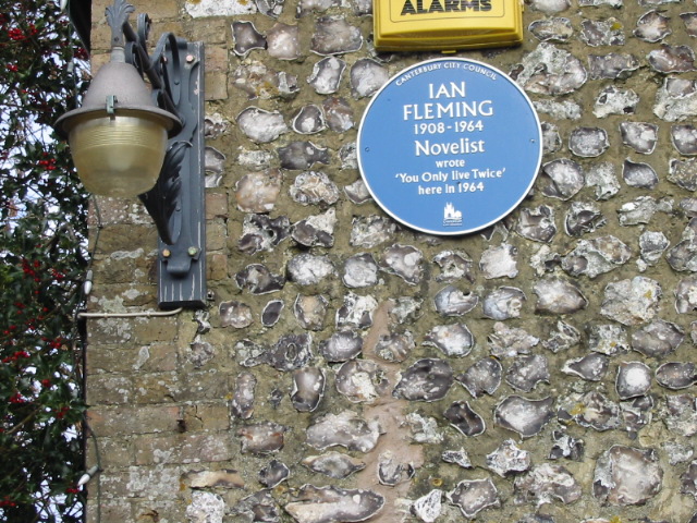
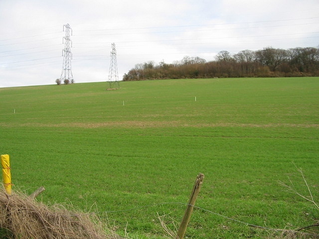
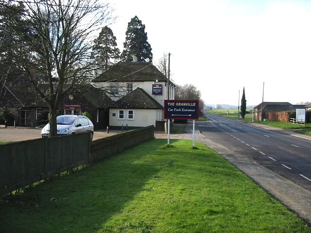
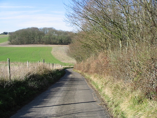
Well Wood Images

Images are sourced within 2km of 51.229878/1.0752549 or Grid Reference TR1452. Thanks to Geograph Open Source API. All images are credited.

A house in White Hill Close A short road of 16 houses in the tiny village of Lower Hardres.
A house in White Hill Close
A short road of 16 houses in the tiny village of Lower Hardres.
A field of oil seed rape. Near the corner of the grid square, looking east towards the village of Bridge.   The crop is ripening and starting to emit its pungent smell.   Most of this square is farmland.
A field of oil seed rape.
Near the corner of the grid square, looking east towards the village of Bridge. The crop is ripening and starting to emit its pungent smell. Most of this square is farmland.
Bridge Road, looking towards the junction with the B2068. Taken just a short distance from the viewpoint of the photo of the field of oil seed rape. Can you see me?
Bridge Road, looking towards the junction with the B2068.
Taken just a short distance from the viewpoint of the photo of the field of oil seed rape. Can you see me?
Church at Upper Hardres Court St. Peter & St. Paul church is a typical Kent flint church which in this case, is set on a very sharp corner in the road in rather a delightful setting.  It is a lovely little Church with its square tower unusually offset from the main nave.
Church at Upper Hardres Court
St. Peter & St. Paul church is a typical Kent flint church which in this case, is set on a very sharp corner in the road in rather a delightful setting. It is a lovely little Church with its square tower unusually offset from the main nave.
View looking N along Pett Bottom.
Peaceful Retreat Farm at junction of Broxhall and Pett Bottom roads.
Peaceful Retreat Farm, Pett Bottom.
The Duck Inn, Pett Bottom.
Detail on the Blue Plaque, Duck Inn.
Footpath (marked by white sticks) across field, Pett Bottom.
Little Eaton Farm, Pett Bottom.
Farm road to Little Pett Farm.
The Granville on the Stone Street
Looking S along School Lane
Looking W along Bow Hill
Heading E on Bridge Road through Whitehill Woods
Junction of Bridge Road with Nackington Road
Looking NE along Faussett Hill
Show me another place!

Well Wood is located at Grid Ref: TR1452 (Lat: 51.229878, Lng: 1.0752549)

Administrative County: Kent

District: Canterbury

Police Authority: Kent

What 3 Words

///extremely.they.iterative. Near Bridge, Kent

Nearby Locations

Well Wood Cobsdane Wood

Related Wikis

Lower Hardres

Lower Hardres is a village and former civil parish, now in the parish of Lower Hardres and Nackington, in the City of Canterbury district of Kent, England...

Pett Bottom (Canterbury)

Pett Bottom is a small settlement about five miles (8 km) south of Canterbury, Kent, England. The nearest village is Lower Hardres. It is in the civil...

Upper Hardres

Upper Hardres is a village and civil parish in the City of Canterbury, in the district of Kent, England. The name of the Hardres family is perpetuated...

Petham

Petham is a rural village and civil parish in the North Downs, five miles south of Canterbury in Kent, South East England. The village church is All Saints...

Nackington

Nackington is an English village and former civil parish, now in the parish of Lower Hardres and Nackington, south of Canterbury in the Canterbury district...

Bridge railway station

Bridge was a station on the Elham Valley Railway. It opened in 1889 and closed to passengers in 1940 and freight in 1947. == History == The station opened...

St Augustine's Hospital, Chartham

St Augustine's Hospital was a psychiatric hospital in Chartham, Kent, England. It was founded as the second, or East, Kent County Asylum in 1872. In 1948...

Bossingham

Bossingham is a large hamlet in the parish of Upper Hardres and the district of the City of Canterbury, Kent, England. It is located about five miles...

Nearby Amenities

Located within 500m of 51.229878,1.0752549
Bus Stop
Phone Box
Bus: yes
Flag: no
Naptan AtcoCode: 240099371
Naptan Bearing: S
Naptan BusStopType: CUS
Naptan CommonName: Phone Box
Naptan Indicator: opp
Naptan Landmark: Phone Box
Naptan NaptanCode: kntgwdag
Naptan Street: Hardres Court Road
Naptan Verified: no
Public Transport: platform
Source: naptan_import
Lat/Long: 51.2335955/1.0791215
Generator Method: photovoltaic
Generator Orientation: 180
Generator Output Electricity: yes
Generator Solar Modules: 10
Generator Source: solar
Generator Type: solar_photovoltaic_panel
Location: roof
Power: generator
Lat/Long: 51.2327346/1.079168
Generator Method: photovoltaic
Generator Orientation: 213
Generator Output Electricity: yes
Generator Source: solar
Generator Type: solar_photovoltaic_panel
Location: roof
Power: generator
Lat/Long: 51.2335945/1.0785511
The data included in this document is from www.openstreetmap.org. The data is made available under ODbL.

Have you been to Well Wood?

Leave your review of Well Wood below (or comments, questions and feedback).