Cobsdane Wood
Wood, Forest in Kent Canterbury
England
Cobsdane Wood
Cobsdane Wood is a picturesque woodland located in Kent, England. Covering an area of approximately 50 acres, it is nestled in the heart of the Kentish countryside, near the village of Cobsdane. The wood is part of the larger Cobham Park estate, which is known for its beautiful landscapes and historical significance.
Cobsdane Wood is predominantly composed of broadleaf trees, with oak, beech, and ash trees being the most common species. The dense canopy they create provides a tranquil and shady environment, perfect for leisurely walks and picnics. The forest floor is carpeted with a diverse array of flora, including bluebells, primroses, and ferns, adding to the natural beauty of the wood.
The wood is home to various wildlife species, making it a popular spot for nature enthusiasts and birdwatchers. Visitors may encounter foxes, badgers, and deer, as well as a variety of bird species such as woodpeckers, owls, and thrushes. The peaceful atmosphere and abundance of wildlife make it an ideal place for photographers and wildlife enthusiasts to capture the essence of nature.
Cobsdane Wood is easily accessible, with well-maintained footpaths and trails throughout. The wood is also intersected by a small stream, adding to its charm and providing a refreshing spot for visitors to rest and enjoy the tranquil surroundings.
Overall, Cobsdane Wood in Kent offers visitors a chance to escape the hustle and bustle of daily life and immerse themselves in the beauty of nature. Its picturesque landscapes, abundant wildlife, and peaceful ambiance make it a must-visit destination for anyone seeking a natural retreat in the heart of Kent.
If you have any feedback on the listing, please let us know in the comments section below.
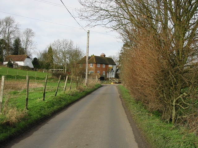
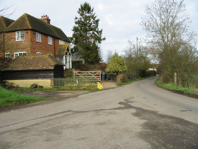
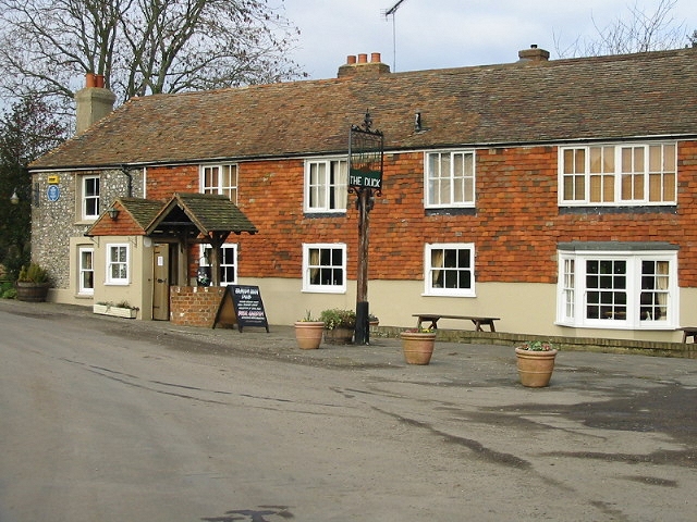
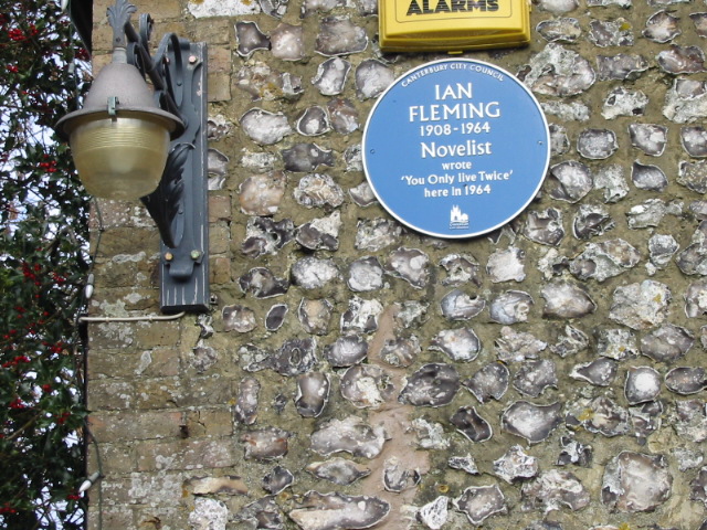
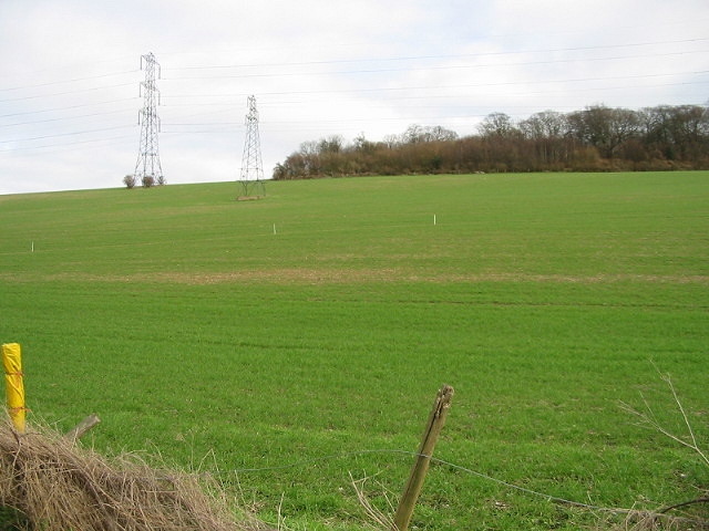
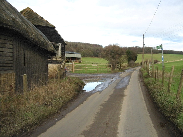
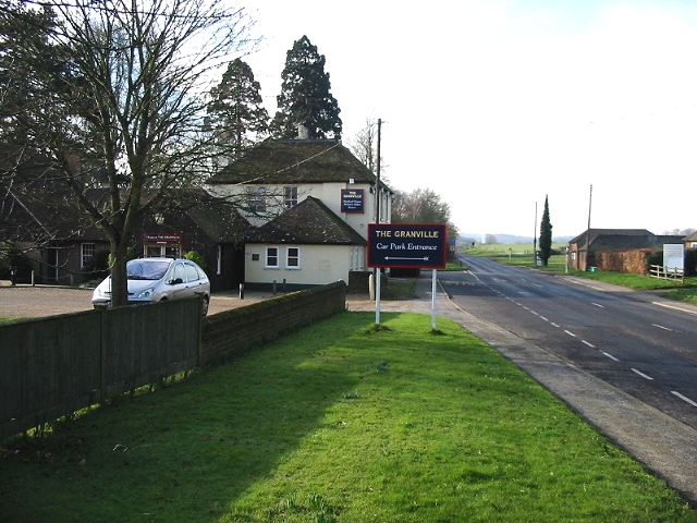
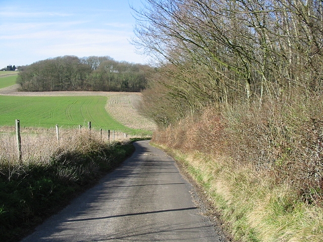
Cobsdane Wood Images
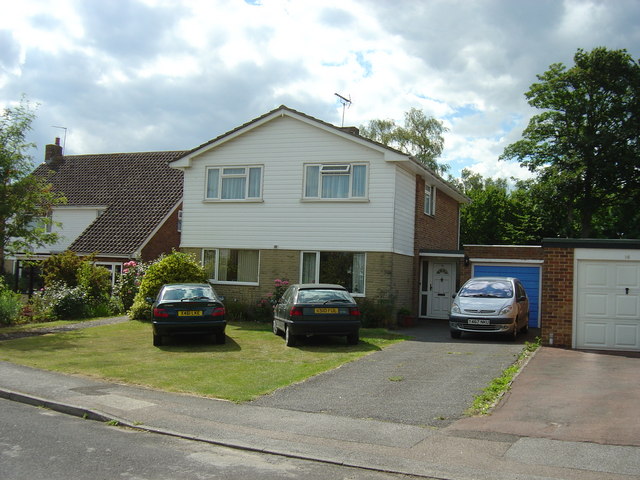
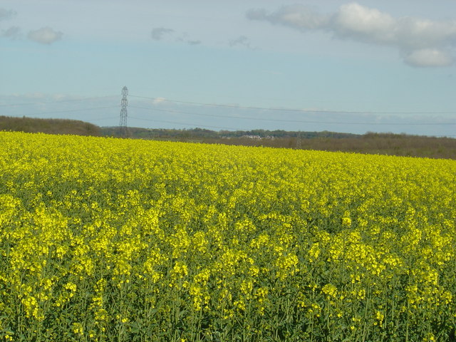
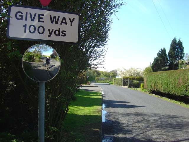
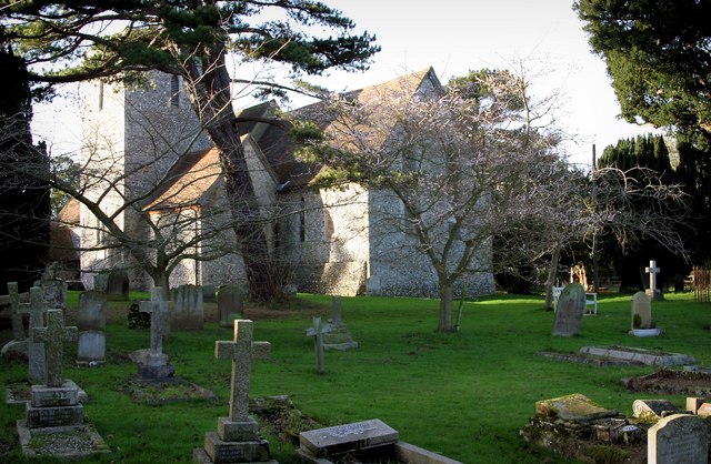
Images are sourced within 2km of 51.230403/1.071035 or Grid Reference TR1452. Thanks to Geograph Open Source API. All images are credited.


Cobsdane Wood is located at Grid Ref: TR1452 (Lat: 51.230403, Lng: 1.071035)
Administrative County: Kent
District: Canterbury
Police Authority: Kent
What 3 Words
///lawn.masses.foods. Near Bridge, Kent
Nearby Locations
Related Wikis

Lower Hardres
Lower Hardres is a village and former civil parish, now in the parish of Lower Hardres and Nackington, in the City of Canterbury district of Kent, England...

Pett Bottom (Canterbury)
Pett Bottom is a small settlement about five miles (8 km) south of Canterbury, Kent, England. The nearest village is Lower Hardres. It is in the civil...

Upper Hardres
Upper Hardres is a village and civil parish in the City of Canterbury, in the district of Kent, England. The name of the Hardres family is perpetuated...

Petham
Petham is a rural village and civil parish in the North Downs, five miles south of Canterbury in Kent, South East England. The village church is All Saints...

Nackington
Nackington is an English village and former civil parish, now in the parish of Lower Hardres and Nackington, south of Canterbury in the Canterbury district...

St Augustine's Hospital, Chartham
St Augustine's Hospital was a psychiatric hospital in Chartham, Kent, England. It was founded as the second, or East, Kent County Asylum in 1872. In 1948...

Bridge railway station
Bridge was a station on the Elham Valley Railway. It opened in 1889 and closed to passengers in 1940 and freight in 1947. == History == The station opened...

Bossingham
Bossingham is a village in the parish of Upper Hardres and the district of the City of Canterbury, Kent, England. It is located about five miles (8 km...
Nearby Amenities
Located within 500m of 51.230403,1.071035Have you been to Cobsdane Wood?
Leave your review of Cobsdane Wood below (or comments, questions and feedback).