Little Hall Wood

Wood, Forest in Suffolk Babergh

England

Little Hall Wood

Bentley Lane From Stutton towards Bentley.
Bentley Lane Credit: Robin Webster

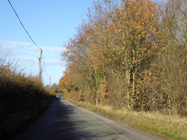
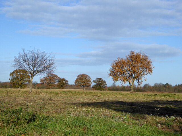
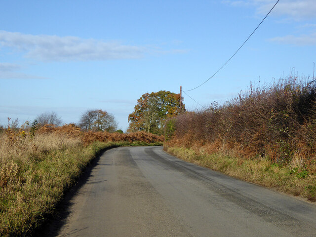
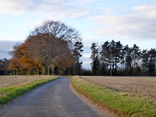
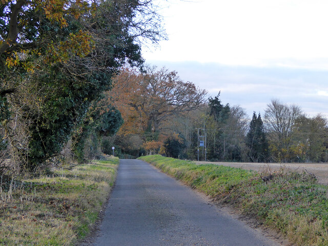
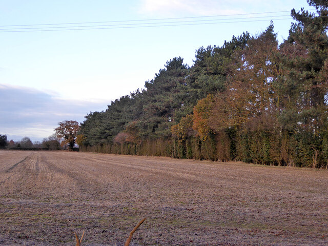
Little Hall Wood is a picturesque woodland located in Suffolk, England. Spanning an area of approximately 30 acres, it is nestled within the rural countryside, offering visitors a tranquil and serene environment to explore. The wood is situated near the village of Boxford, just a short distance from the River Box and the surrounding agricultural fields.

The woodland is primarily composed of a mixture of native tree species, including oak, ash, birch, and beech trees. These trees provide a dense canopy, creating a shaded and cool atmosphere within the wood. In addition to the towering trees, the forest floor is covered in a rich carpet of mosses, ferns, and wildflowers, adding to the natural beauty of the area.

Little Hall Wood is renowned for its diverse wildlife population. The wood provides a habitat for a variety of bird species, including woodpeckers, tits, and finches, making it a popular spot for birdwatchers. Additionally, the wood is home to small mammals such as foxes, badgers, and squirrels, further enhancing the area's biodiversity.

The wood offers several walking trails and paths, allowing visitors to explore its natural wonders at their own pace. These trails wind through the wood, providing opportunities to spot wildlife and admire the stunning scenery. The tranquil atmosphere and beautiful surroundings make Little Hall Wood a popular destination for nature lovers, hikers, and photographers alike.

Overall, Little Hall Wood in Suffolk offers a peaceful and idyllic escape from the hustle and bustle of everyday life, allowing visitors to reconnect with nature and enjoy the beauty of the English countryside.

If you have any feedback on the listing, please let us know in the comments section below.

Little Hall Wood Images

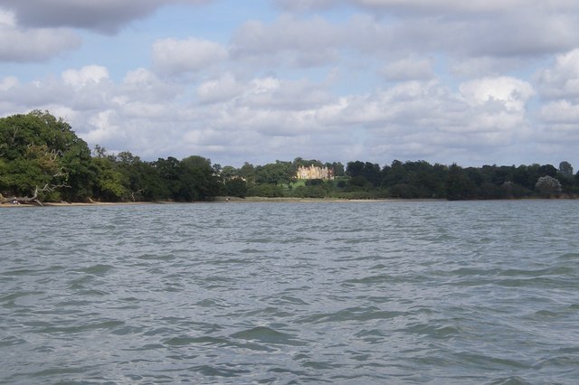
Images are sourced within 2km of 51.962491/1.121931 or Grid Reference TM1433. Thanks to Geograph Open Source API. All images are credited.

Bentley Lane From Stutton towards Bentley.
Bentley Lane
From Stutton towards Bentley.
Trees on drive to Argent Manor
Bentley Lane From Stutton towards Bentley.
Bentley Lane
From Stutton towards Bentley.
Gates to big houses, Stutton Green Stutton House left, The Coach House right. To the left, down the dead-end, is the church.
Gates to big houses, Stutton Green
Stutton House left, The Coach House right. To the left, down the dead-end, is the church.
Churchfield Road, Stutton From Stutton Green to Lower Street.
Churchfield Road, Stutton
From Stutton Green to Lower Street.
Churchfield Road, Stutton From Stutton Green to Lower Street.
Churchfield Road, Stutton
From Stutton Green to Lower Street.
Shelter belt between fields, Stutton Not of great age, the fields were previously one.
Shelter belt between fields, Stutton
Not of great age, the fields were previously one.
The Kings Head, Stutton A grade II listed building, 16th century or earlier with later alterations and additions.
The Kings Head, Stutton
A grade II listed building, 16th century or earlier with later alterations and additions.
Church of St Peter, Stutton Green <span class="nowrap"><a title="https://historicengland.org.uk/listing/the-list/list-entry/1285520?section=official-list-entry" rel="nofollow ugc noopener" href="https://historicengland.org.uk/listing/the-list/list-entry/1285520?section=official-list-entry">Link</a><img style="margin-left:2px;" alt="External link" title="External link - shift click to open in new window" src="https://s1.geograph.org.uk/img/external.png" width="10" height="10"/></span>
Church of St Peter, Stutton Green
Small pond next to the road Probably the site of a quarry
Small pond next to the road
Probably the site of a quarry
Alton Water Reservoir An artificial reservoir in South Suffolk, built in the 1960s by Anglian Water.
Alton Water Reservoir
An artificial reservoir in South Suffolk, built in the 1960s by Anglian Water.
Maritime woodland at Stutton in Suffolk On the north side of the Stour estuary ancient trees overhang salt water
Maritime woodland at Stutton in Suffolk
On the north side of the Stour estuary ancient trees overhang salt water
Stutton ness The ancient oaks of Stutton ness dip their boughs in the salty waters of the Stour estuary.
Stutton ness
The ancient oaks of Stutton ness dip their boughs in the salty waters of the Stour estuary.
Stutton Primary School Stutton C.E.V.C. primary school Stutton Suffolk on a very wet day.
Stutton Primary School
Stutton C.E.V.C. primary school Stutton Suffolk on a very wet day.
Kings Head Stutton Kings Head public house Stutton Suffolk.
Kings Head Stutton
Kings Head public house Stutton Suffolk.
Brantham Court Brantham Court Brantham Suffolk.
Brantham Court
Brantham Court Brantham Suffolk.
Show me another place!

Little Hall Wood is located at Grid Ref: TM1433 (Lat: 51.962491, Lng: 1.121931)

Administrative County: Suffolk

District: Babergh

Police Authority: Suffolk

What 3 Words

///merit.winner.puncture. Near Holbrook, Suffolk

Related Wikis

Stutton, Suffolk

Stutton is a small village and a civil parish approximately seven miles south of Ipswich in Suffolk, United Kingdom, on the Shotley peninsula. The village...

Alton Water

Alton Water (or Alton Reservoir) is a manmade reservoir located on the Shotley peninsula. It is the largest in Suffolk, with a perimeter of over 8 miles...

Royal Hospital School

The Royal Hospital School (usually shortened as "RHS" and historically nicknamed "The Cradle of the Navy") is a British co-educational fee-charging boarding...

Tattingstone Wonder

The Tattingstone Wonder is a folly at Tattingstone in Suffolk, England. Located some 6 miles (9.7 km) south of Ipswich the Tattingstone Wonder was originally...

Nearby Amenities

Located within 500m of 51.962491,1.121931
Power: pole
Lat/Long: 51.9667121/1.1244138
Power: pole
Lat/Long: 51.9665134/1.1235541
Power: pole
Lat/Long: 51.9663324/1.122736
Power: pole
Lat/Long: 51.9661478/1.1219629
Power: pole
Lat/Long: 51.9653995/1.1215116
Power: pole
Lat/Long: 51.9649889/1.120776
Power: pole
Lat/Long: 51.9645307/1.1199532
Power: pole
Lat/Long: 51.9640865/1.1192076
Power: pole
Lat/Long: 51.9637023/1.1184787
Power: pole
Lat/Long: 51.9632627/1.1177585
Power: pole
Lat/Long: 51.9628792/1.1170585
Power: pole
Lat/Long: 51.9624851/1.1163712
Power: pole
Lat/Long: 51.9621661/1.1159916
Power: pole
Lat/Long: 51.9657197/1.1214486
Power: pole
Lat/Long: 51.9660486/1.1211327
Power: pole
Lat/Long: 51.9662634/1.1209195
Power: pole
Lat/Long: 51.9650821/1.118542
Power: pole
Lat/Long: 51.9656866/1.1179332
The data included in this document is from www.openstreetmap.org. The data is made available under ODbL.

Have you been to Little Hall Wood?

Leave your review of Little Hall Wood below (or comments, questions and feedback).