Chestnut Spinney

Wood, Forest in Suffolk Babergh

England

Chestnut Spinney

Churchfield Road, Stutton From Stutton Green to Lower Street.
Churchfield Road, Stutton Credit: Robin Webster

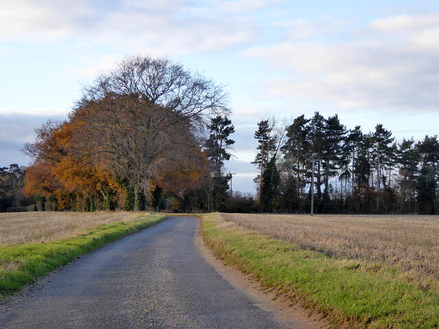
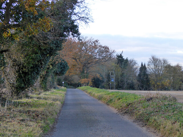
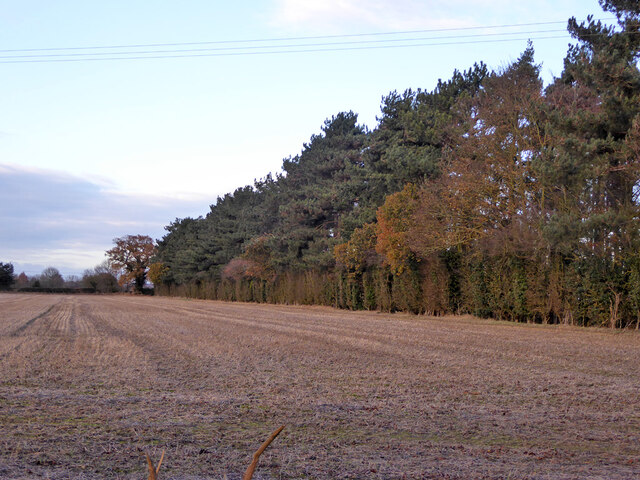
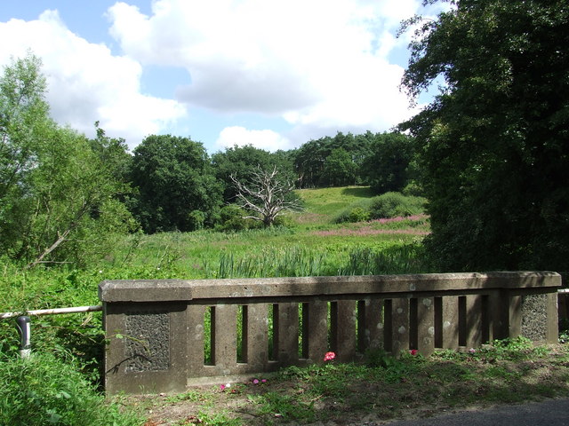
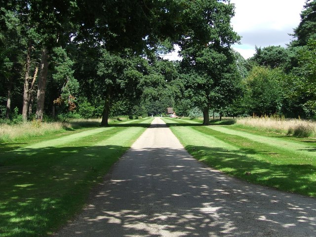
Chestnut Spinney is a charming wood situated in the county of Suffolk, England. Spanning approximately 20 acres, this forested area is a haven for nature enthusiasts and those seeking tranquility amidst the hustle and bustle of everyday life.

The wood derives its name from the abundance of chestnut trees that populate the area, creating a picturesque landscape throughout the seasons. In spring, the forest floor is carpeted with vibrant bluebells, adding a touch of color to the otherwise green surroundings. During autumn, the chestnut trees shed their leaves, painting the forest in warm hues of orange and brown.

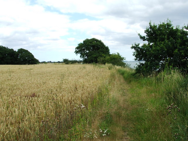
The diverse range of flora and fauna found within Chestnut Spinney makes it a hub for biodiversity. It is home to various bird species, including woodpeckers and owls, which can often be heard echoing through the trees. Squirrels scamper amongst the branches, collecting nuts and acorns, while rabbits and foxes can be spotted darting between the undergrowth.

The wood offers a network of walking trails, allowing visitors to explore its beauty at their own pace. These paths wind through sun-dappled clearings and alongside babbling brooks, providing a serene atmosphere for leisurely strolls or family picnics. Additionally, there are designated areas for camping and barbecues, making it an ideal spot for outdoor enthusiasts to spend a night under the stars.

Chestnut Spinney, with its natural charm and peaceful ambiance, serves as a cherished escape for locals and visitors alike, offering a respite from the demands of modern life and a chance to immerse oneself in the beauty of nature.

If you have any feedback on the listing, please let us know in the comments section below.

Chestnut Spinney Images

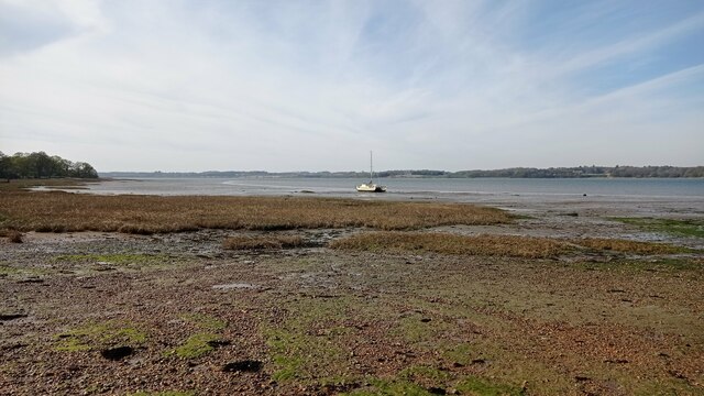
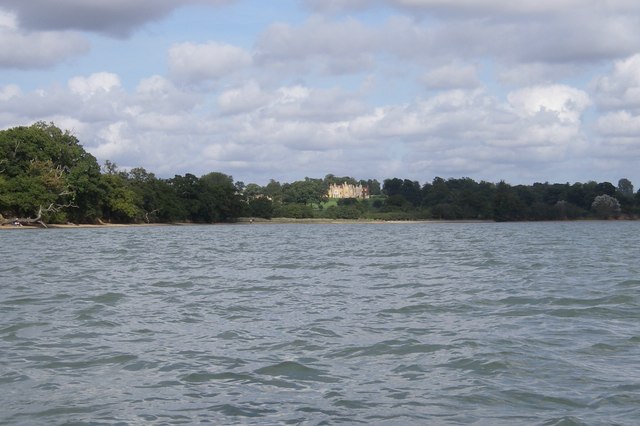
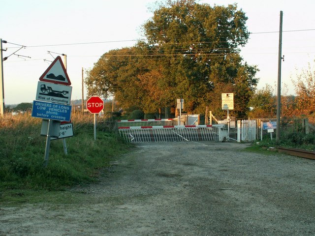
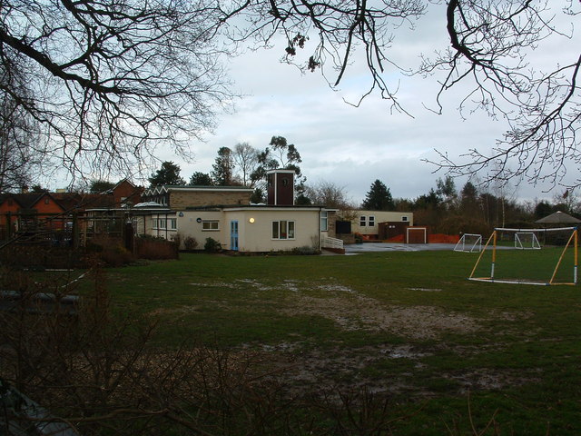
Images are sourced within 2km of 51.957411/1.1174726 or Grid Reference TM1433. Thanks to Geograph Open Source API. All images are credited.

Churchfield Road, Stutton From Stutton Green to Lower Street.
Churchfield Road, Stutton
From Stutton Green to Lower Street.
Churchfield Road, Stutton From Stutton Green to Lower Street.
Churchfield Road, Stutton
From Stutton Green to Lower Street.
Shelter belt between fields, Stutton Not of great age, the fields were previously one.
Shelter belt between fields, Stutton
Not of great age, the fields were previously one.
The Kings Head, Stutton A grade II listed building, 16th century or earlier with later alterations and additions.
The Kings Head, Stutton
A grade II listed building, 16th century or earlier with later alterations and additions.
Boat on the River Stour A sailboat on the River Stour at low tide.
Boat on the River Stour
A sailboat on the River Stour at low tide.
Maritime woodland at Stutton in Suffolk On the north side of the Stour estuary ancient trees overhang salt water
Maritime woodland at Stutton in Suffolk
On the north side of the Stour estuary ancient trees overhang salt water
Stutton ness The ancient oaks of Stutton ness dip their boughs in the salty waters of the Stour estuary.
Stutton ness
The ancient oaks of Stutton ness dip their boughs in the salty waters of the Stour estuary.
Railway Crossing Nether Hall is the only place on the other side of this crossing, which is the northern side.
Railway Crossing
Nether Hall is the only place on the other side of this crossing, which is the northern side.
Stutton Primary School Stutton C.E.V.C. primary school Stutton Suffolk on a very wet day.
Stutton Primary School
Stutton C.E.V.C. primary school Stutton Suffolk on a very wet day.
Kings Head Stutton Kings Head public house Stutton Suffolk.
Kings Head Stutton
Kings Head public house Stutton Suffolk.
Brantham Court Brantham Court Brantham Suffolk.
Brantham Court
Brantham Court Brantham Suffolk.
Almshouses on Bentley Lane, Stutton These dwellings are right on the north-west edge of the village and just inside this square.  On the day of the photograph, they were bright with flowers and looking well-kempt.  The chimneys are particularly splendid, suggesting expense was not spared in the construction of these almshouses.
Almshouses on Bentley Lane, Stutton
These dwellings are right on the north-west edge of the village and just inside this square. On the day of the photograph, they were bright with flowers and looking well-kempt. The chimneys are particularly splendid, suggesting expense was not spared in the construction of these almshouses.
Smart new entrance to Roundwood Farm Right next to a bridle way, this seems to be a new access to Roundwood Farm, which is shown on the map as further north-west.  Not a cheap sign but a smart piece of stone lettering!
Smart new entrance to Roundwood Farm
Right next to a bridle way, this seems to be a new access to Roundwood Farm, which is shown on the map as further north-west. Not a cheap sign but a smart piece of stone lettering!
Dead Tree Dead tree as viewed from Stutton bridge on the B1080 near to Stutton, Suffolk.
Dead Tree
Dead tree as viewed from Stutton bridge on the B1080 near to Stutton, Suffolk.
Well Kept Drive A well kept drive from Stutton Park near to Stutton Suffolk.
Well Kept Drive
A well kept drive from Stutton Park near to Stutton Suffolk.
Not on the 1:50:000 This small spit of shore is not marked on the 1:50:000 for this square but is on the 1:25:000 and on the ground.
Not on the 1:50:000
This small spit of shore is not marked on the 1:50:000 for this square but is on the 1:25:000 and on the ground.
Suffolk Coastal & Heaths Path Looking east along the Suffolk Coastal & Heaths path near to Cattawade Suffolk.
Suffolk Coastal & Heaths Path
Looking east along the Suffolk Coastal & Heaths path near to Cattawade Suffolk.
Stutton Mill Stutton Mill on the Suffolk Coastal & Heaths Path near to Stutton Suffolk.
Stutton Mill
Stutton Mill on the Suffolk Coastal & Heaths Path near to Stutton Suffolk.
Show me another place!

Chestnut Spinney is located at Grid Ref: TM1433 (Lat: 51.957411, Lng: 1.1174726)

Administrative County: Suffolk

District: Babergh

Police Authority: Suffolk

What 3 Words

///lads.country.lunch. Near Mistley, Essex

Related Wikis

Stutton, Suffolk

Stutton is a small village and a civil parish approximately seven miles south of Ipswich in Suffolk, United Kingdom, on the Shotley peninsula. The village...

Bradfield railway station

Bradfield railway station served the village of Bradfield in Essex. It was on the Manningtree to Harwich branch line, which is today known as The Mayflower...

Wrabness Nature Reserve

Wrabness Nature Reserve is a 27 hectare Local Nature Reserve on the south bank of the River Stour, west of Wrabness in Essex. It is managed by the Essex...

Bradfield, Essex

Bradfield is a village and civil parish in Essex, England. It is located about 3 miles (5 km) east of Manningtree and is 31 miles (50 km) northeast from...

Have you been to Chestnut Spinney?

Leave your review of Chestnut Spinney below (or comments, questions and feedback).