Fan Wood
Wood, Forest in Kent Shepway
England
Fan Wood
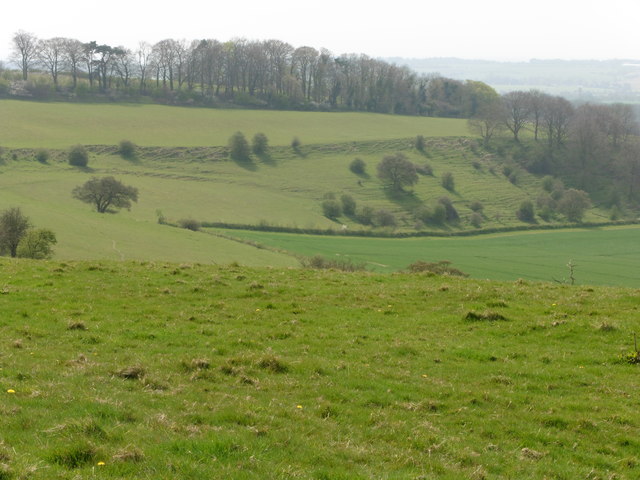
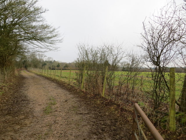
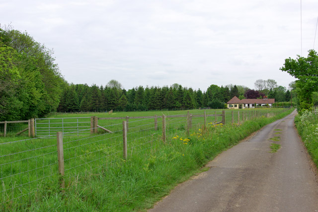
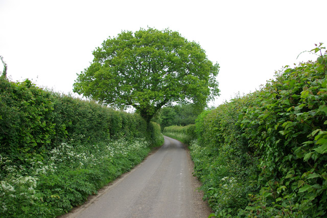
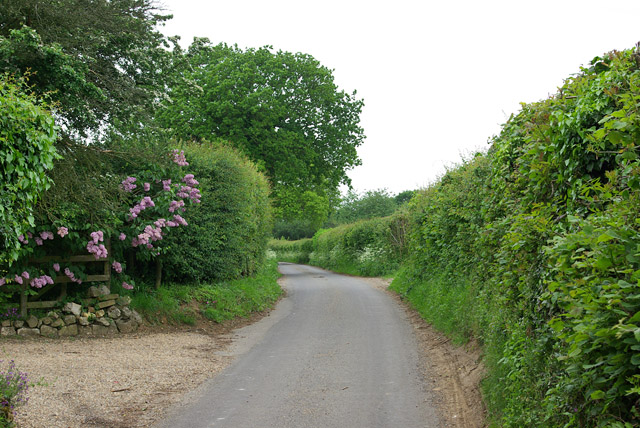
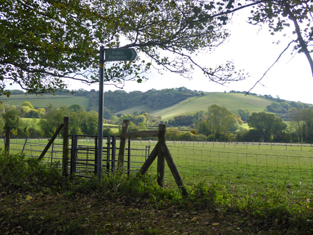
Fan Wood, located in Kent, England, is a serene and captivating forest that offers visitors a truly enchanting experience. Spread over a sprawling area of approximately 100 acres, this woodland is known for its diverse ecosystem and breathtaking scenery.
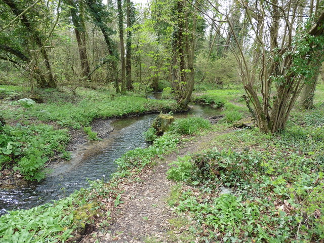
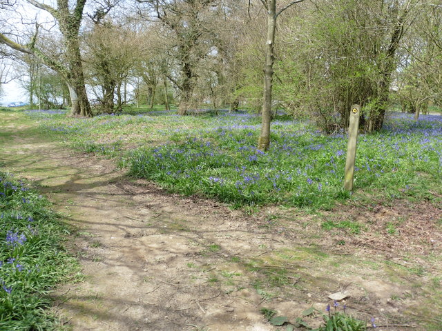
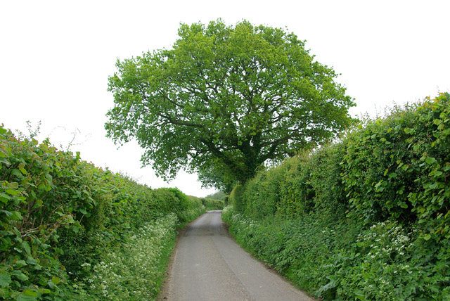
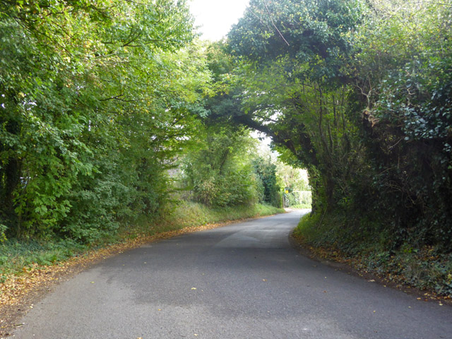
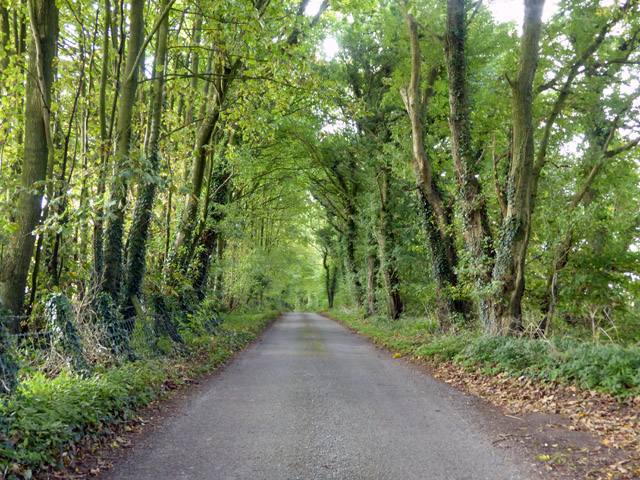
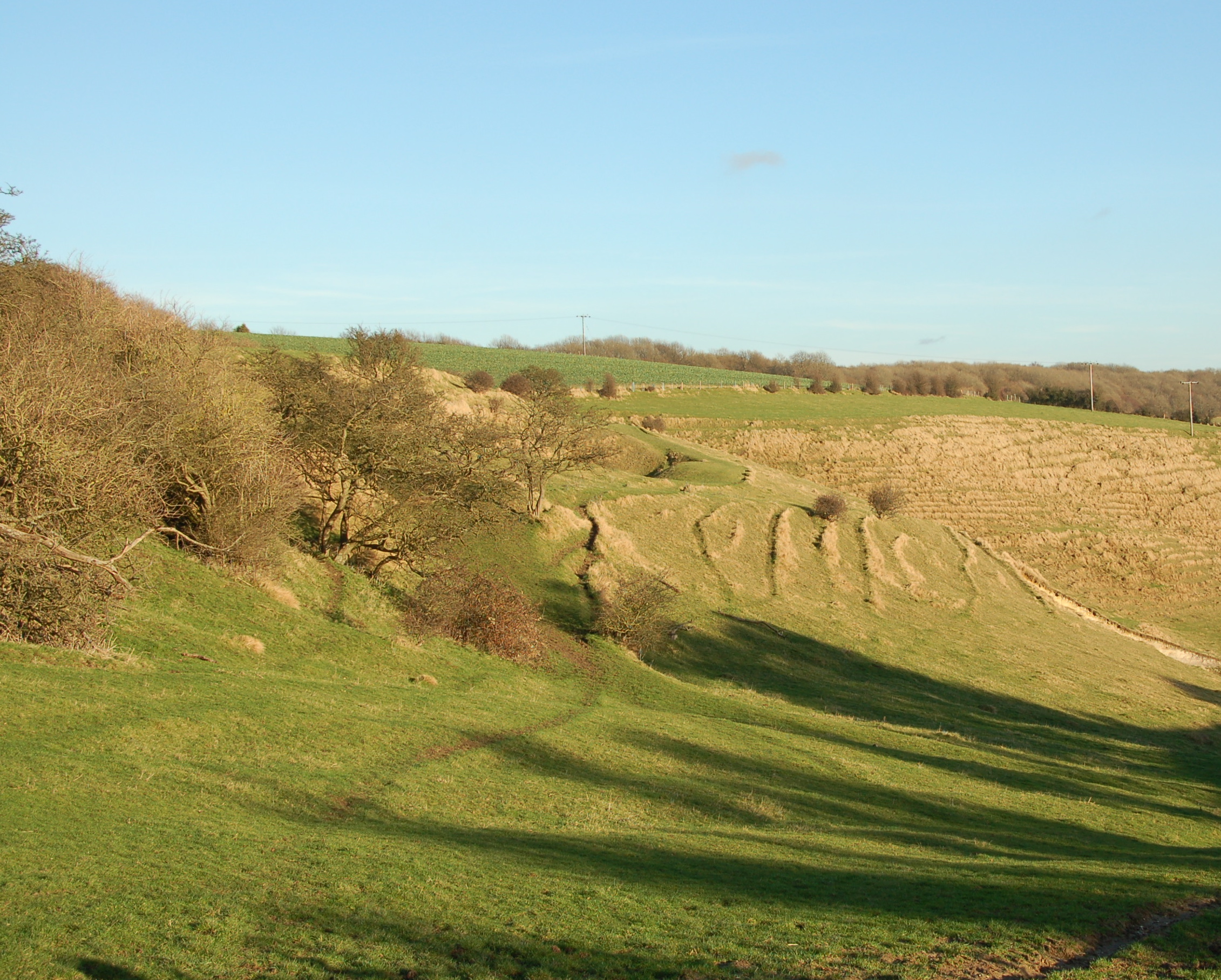
The wood is home to a rich variety of trees, including oak, beech, ash, and birch, which provide a lush green canopy throughout the year. These ancient trees, some of which date back centuries, create a sense of timelessness and tranquility. The forest floor is carpeted with vibrant wildflowers, ferns, and moss, forming a picturesque landscape that is particularly stunning during spring and summer months.
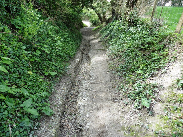
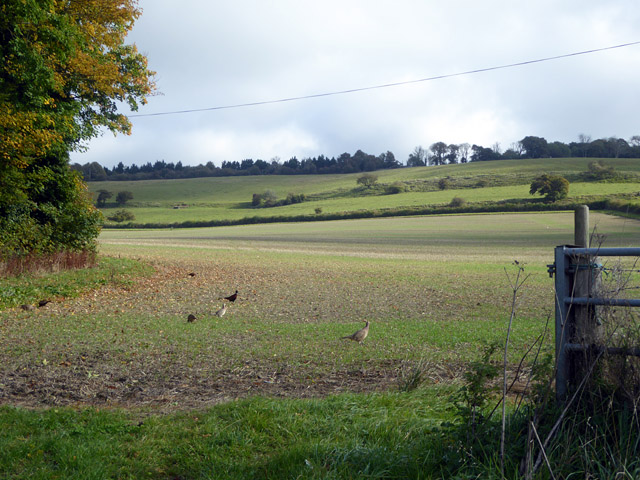
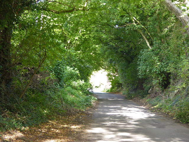
Fan Wood boasts an extensive network of well-maintained footpaths and trails, allowing visitors to explore its hidden treasures at their own pace. Nature enthusiasts can revel in the abundance of wildlife that calls this woodland home, with sightings of deer, foxes, rabbits, and a plethora of bird species being common. The wood is also renowned for its diverse insect population, making it a haven for entomologists and nature photographers.
For those seeking a peaceful retreat, Fan Wood offers several designated picnic areas where visitors can relax and enjoy the sounds of nature. Additionally, the forest provides ample opportunities for outdoor activities such as hiking, jogging, and birdwatching.
Overall, Fan Wood is a true gem in the heart of Kent, offering a captivating natural environment that appeals to both nature lovers and those seeking respite from the hustle and bustle of everyday life.
If you have any feedback on the listing, please let us know in the comments section below.
Fan Wood Images
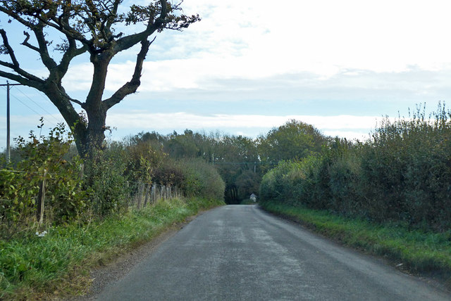
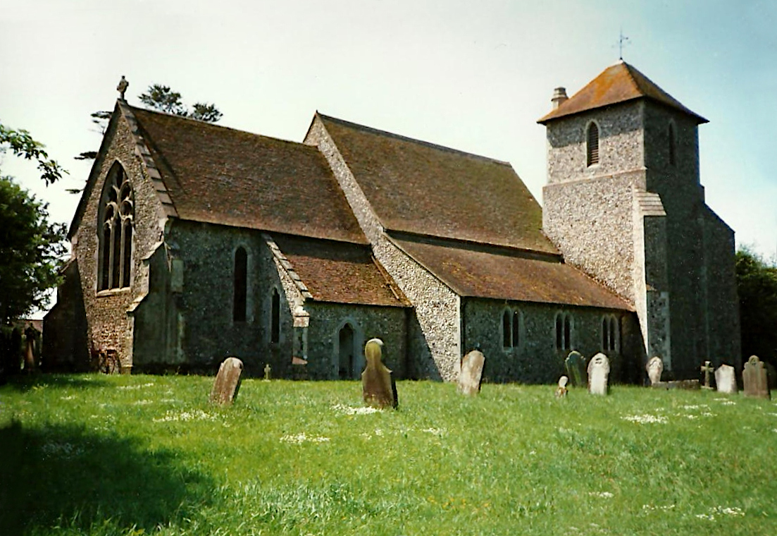
Images are sourced within 2km of 51.132184/1.0427093 or Grid Reference TR1241. Thanks to Geograph Open Source API. All images are credited.

Fan Wood is located at Grid Ref: TR1241 (Lat: 51.132184, Lng: 1.0427093)
Administrative County: Kent
District: Shepway
Police Authority: Kent
What 3 Words
///exposes.denoting.cope. Near Lyminge, Kent
Nearby Locations
Related Wikis
Stowting
Stowting is a village and civil parish in the English county of Kent. It is 6 miles (9.7 km) east of Ashford, 7 miles (11 km) north-west of Folkestone...
Farthing Common
Farthing Common is an area of common land about 10 km northwest of Folkestone in East Kent. It is one of the highest points of the North Downs at 185 metres...

Monks Horton
Monks Horton is a small civil parish in the Folkestone and Hythe district of Kent, England. It is located 3 miles (5 km) north of Hythe. Within the civil...

Rhodes Minnis
Rhodes Minnis is a village near Folkestone in Kent, England, located between Lyminge and Stelling Minnis. It is in the civil parish of Elham. It was a...
Nearby Amenities
Located within 500m of 51.132184,1.0427093Have you been to Fan Wood?
Leave your review of Fan Wood below (or comments, questions and feedback).