The Alders
Wood, Forest in Kent Shepway
England
The Alders

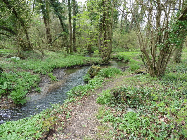
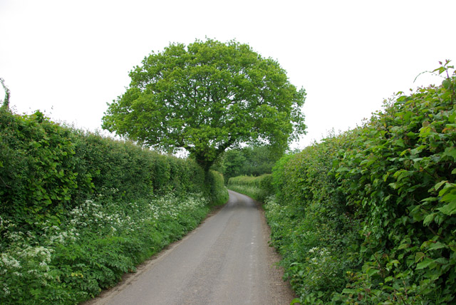
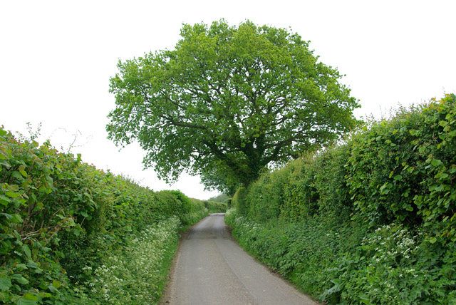
The Alders, located in Kent, England, is a picturesque wood that stands tall as a symbol of natural beauty and tranquility. This enchanting forest covers an area of approximately 500 acres and is known for its abundant alder trees, which lend their name to the area.
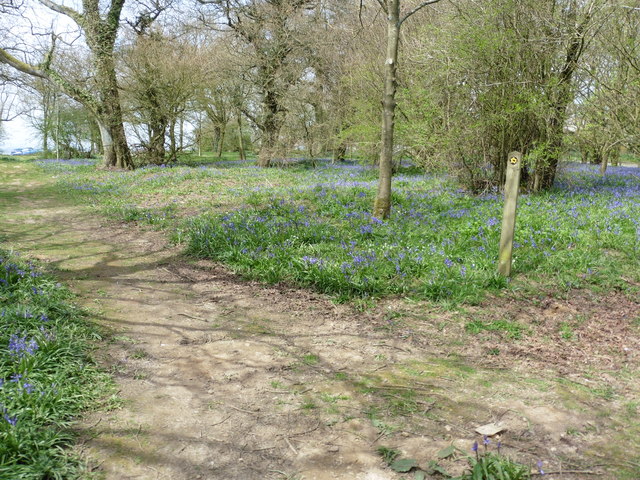
The forest is home to a diverse range of flora and fauna, offering a sanctuary for numerous wildlife species. The alder trees, with their distinctive dark bark and broad leaves, dominate the landscape, providing a dense canopy that filters the sunlight and creates a cool, shaded atmosphere below. The forest floor is carpeted with a rich carpet of moss and ferns, adding to its ethereal beauty.
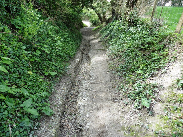
Visitors to The Alders can enjoy a variety of activities, including walking, hiking, and bird-watching. A network of well-maintained trails weaves through the forest, allowing visitors to explore its hidden gems. The woodland is home to a plethora of bird species, including woodpeckers, owls, and warblers, making it a haven for bird enthusiasts.
The Alders has a fascinating history, with evidence of human activity dating back thousands of years. Archaeological discoveries have uncovered remnants of ancient settlements and burial sites within the forest, providing a glimpse into the lives of past civilizations.
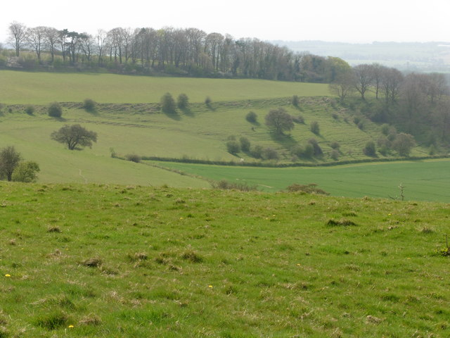
This woodland gem offers a peaceful retreat from the hustle and bustle of everyday life, where visitors can immerse themselves in nature's embrace and experience the serenity and beauty that The Alders, Kent has to offer.
If you have any feedback on the listing, please let us know in the comments section below.
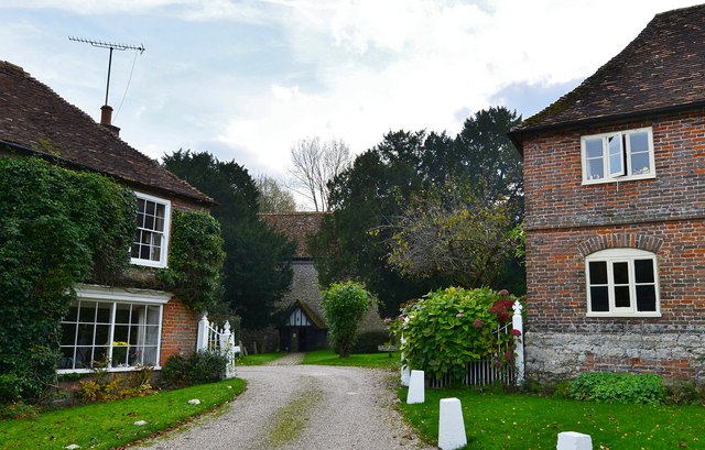
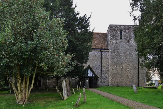
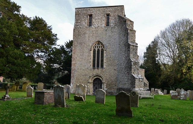
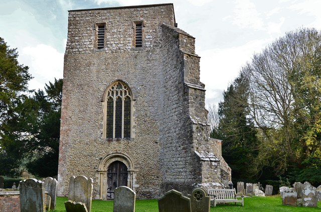
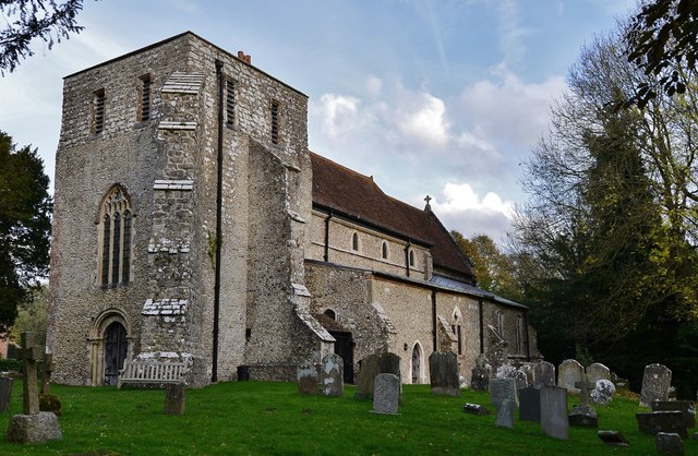
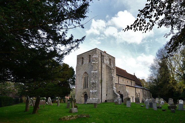
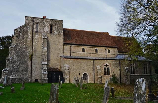
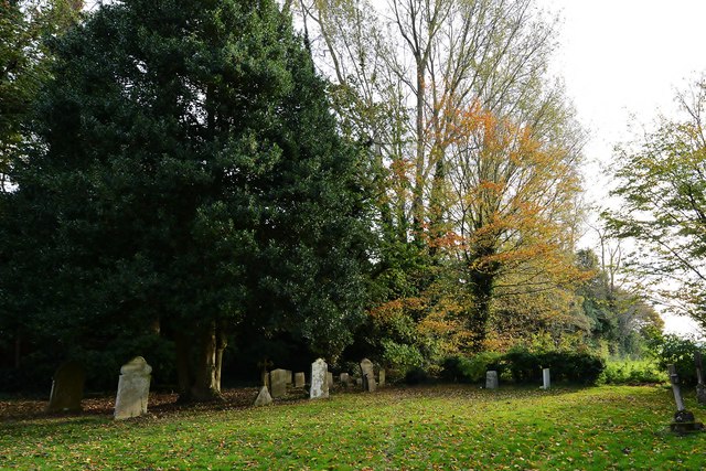
The Alders Images
Images are sourced within 2km of 51.131572/1.0313184 or Grid Reference TR1241. Thanks to Geograph Open Source API. All images are credited.

The Alders is located at Grid Ref: TR1241 (Lat: 51.131572, Lng: 1.0313184)
Administrative County: Kent
District: Shepway
Police Authority: Kent
What 3 Words
///shoelaces.risen.during. Near Lyminge, Kent
Nearby Locations
Related Wikis
Stowting
Stowting is a village and civil parish in the English county of Kent. It is 6 miles (9.7 km) east of Ashford, 7 miles (11 km) north-west of Folkestone...

Monks Horton
Monks Horton is a small civil parish in the Folkestone and Hythe district of Kent, England. It is located 3 miles (5 km) north of Hythe. Within the civil...
Farthing Common
Farthing Common is an area of common land about 10 km northwest of Folkestone in East Kent. It is one of the highest points of the North Downs at 185 metres...
Brabourne
Brabourne is a village and civil parish in the Ashford district of Kent, England. The village centre is 4.5 miles (7.2 km) east of Ashford town centre...
Gibbin's Brook
Gibbin's Brook is a 16.8-hectare (42-acre) biological Site of Special Scientific Interest in Sellindge in Kent.This site is mainly marshy grassland, but...

Stanford, Kent
Stanford is a village and civil parish in Kent, England. It is part of the Folkestone and Hythe district. The village developed along the ancient Roman...

Postling
Postling is a village and civil parish situated near the Roman road of Stone Street, about 17 miles (27 km) south of Canterbury, Kent, in South East England...

Rhodes Minnis
Rhodes Minnis is a village near Folkestone in Kent, England, located between Lyminge and Stelling Minnis. It is in the civil parish of Elham. It was a...
Nearby Amenities
Located within 500m of 51.131572,1.0313184Have you been to The Alders?
Leave your review of The Alders below (or comments, questions and feedback).