Stowting
Settlement in Kent Shepway
England
Stowting
Stowting is a small village located in the county of Kent, England. Situated approximately 5 miles west of the town of Folkestone, it is nestled within the picturesque Kent Downs Area of Outstanding Natural Beauty. With a population of around 400 residents, Stowting exudes a tranquil and rural setting, making it an ideal retreat for those seeking a peaceful countryside lifestyle.
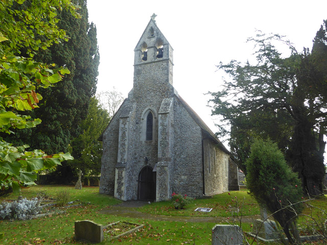
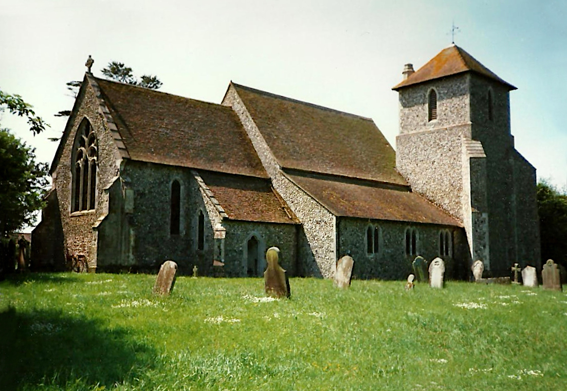
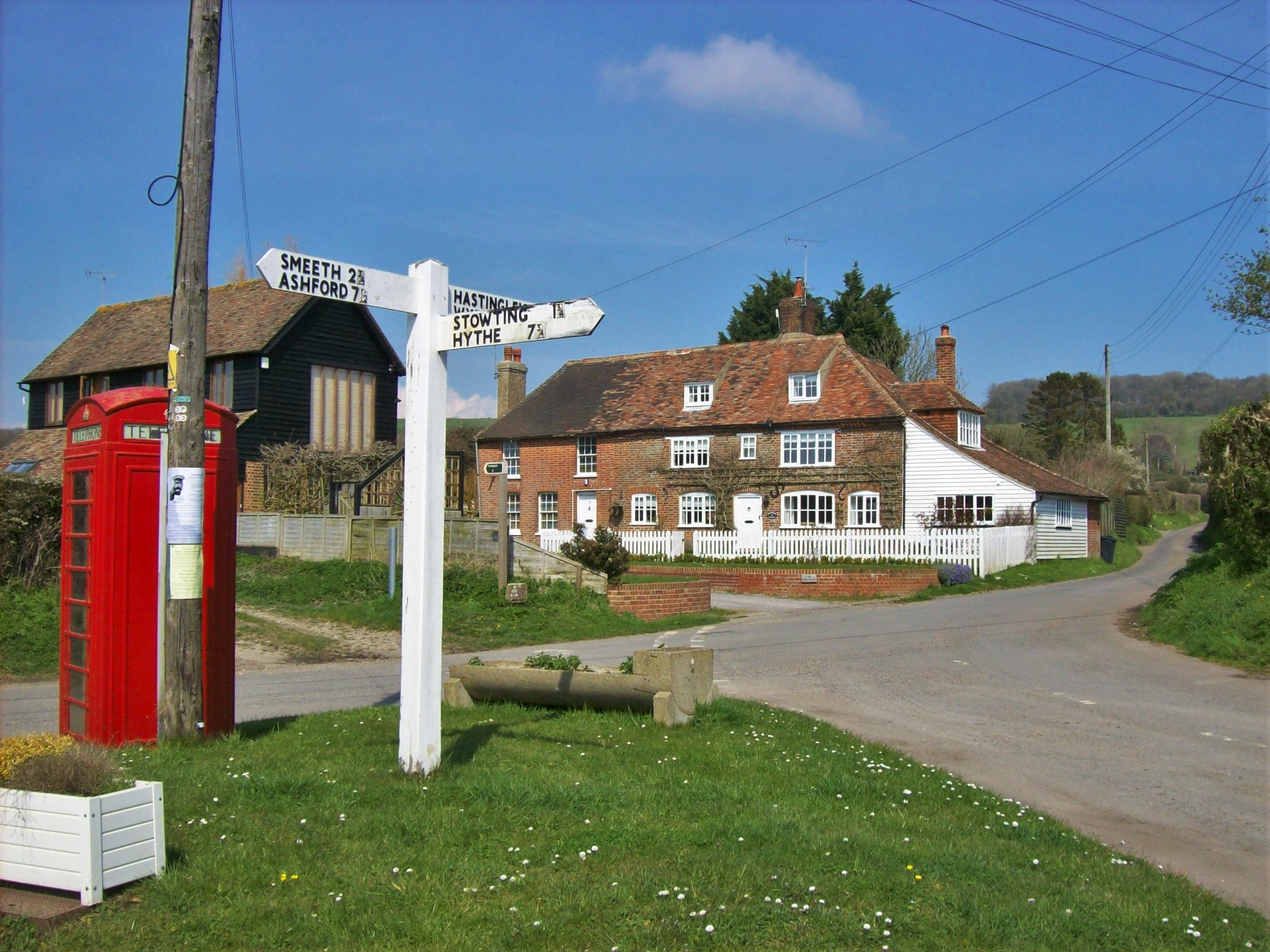
The village is characterized by its charming mix of historic buildings, including traditional cottages and a 13th-century church, St. Mary and St. Eanswythe. The church is known for its beautiful stained glass windows and its connection to St. Eanswythe, the patron saint of Folkestone.
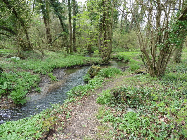
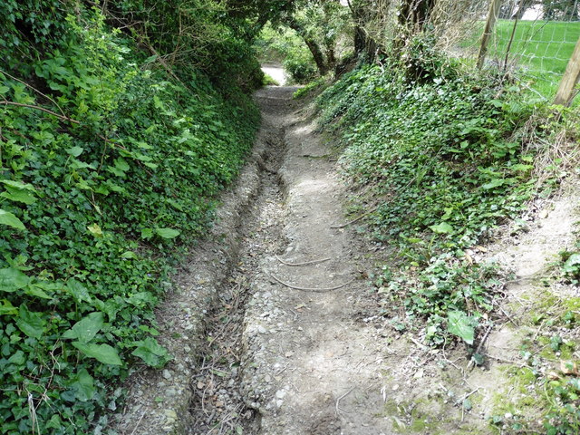
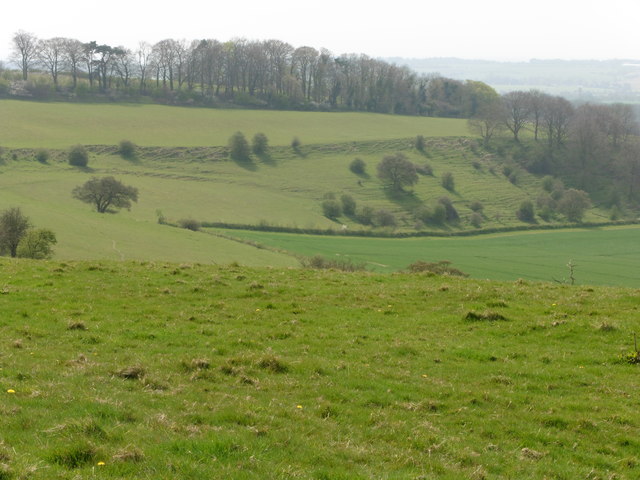
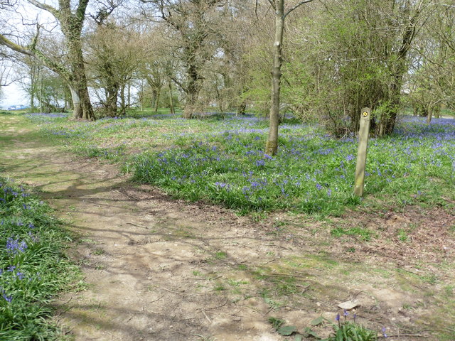
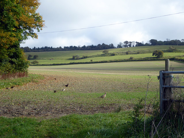
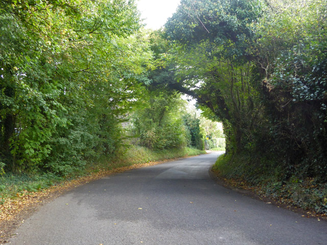
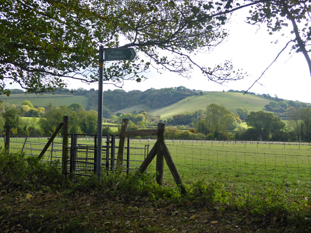
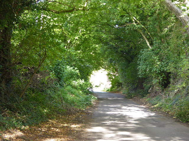
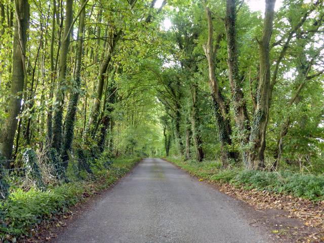
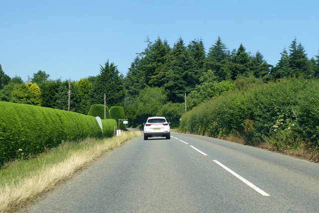
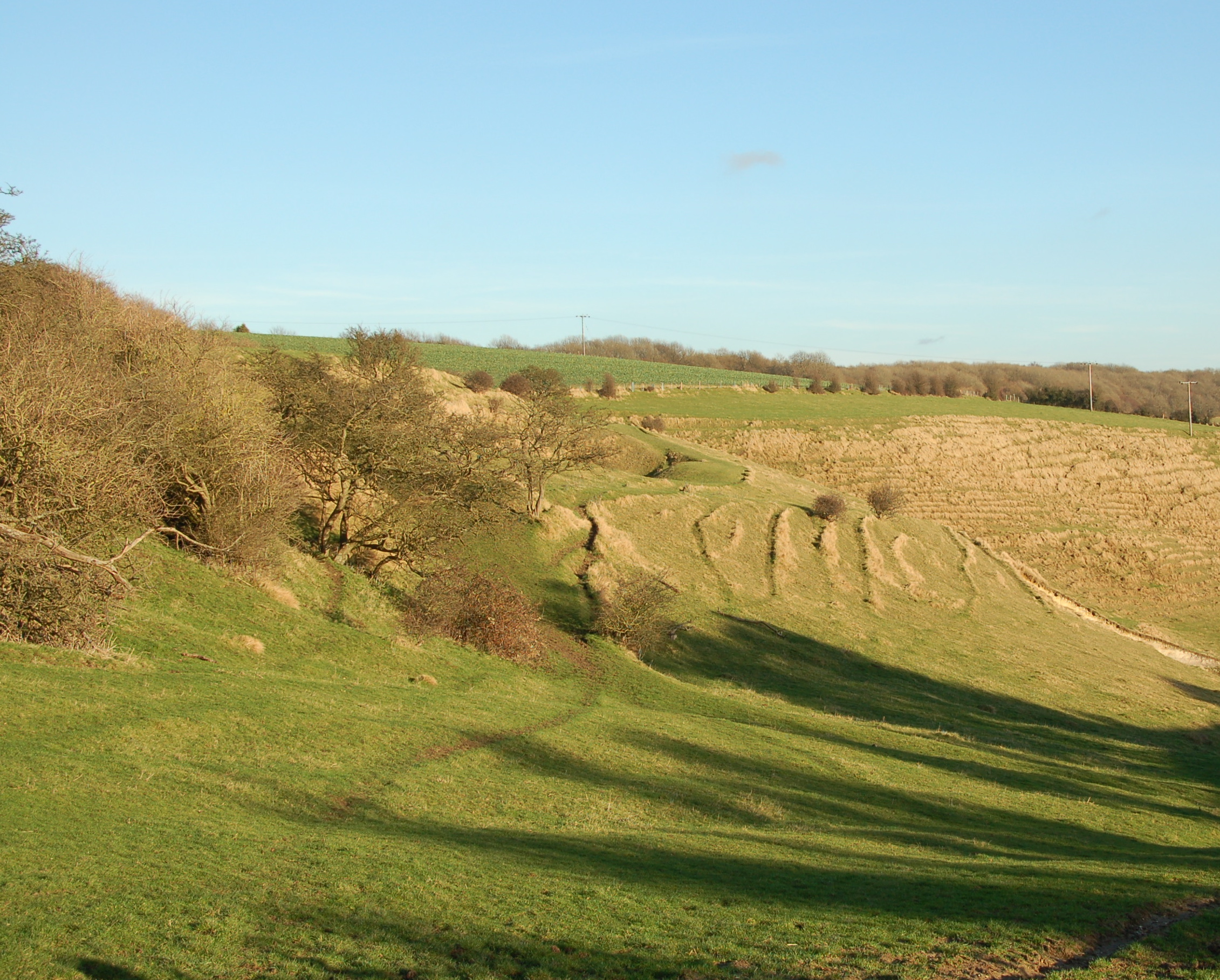
Surrounded by rolling hills and lush green fields, Stowting offers stunning views of the countryside. The area is a haven for nature lovers, with many opportunities for outdoor activities such as hiking, cycling, and birdwatching. The nearby East Kent Railway, a heritage railway line, also attracts visitors who enjoy taking nostalgic steam train rides through the countryside.
Despite its small size, Stowting benefits from a close-knit community spirit. The village has a primary school and a local pub, The Tiger Inn, which is a popular gathering spot for residents and visitors alike. Additionally, the village is well-connected to surrounding areas, with good transport links to nearby towns and cities such as Folkestone and Ashford.
In summary, Stowting is a tranquil and picturesque village in Kent, offering a peaceful countryside lifestyle and a strong sense of community. With its historic charm, natural beauty, and convenient location, it is no wonder that Stowting continues to be a sought-after place to live or visit in the region.
If you have any feedback on the listing, please let us know in the comments section below.
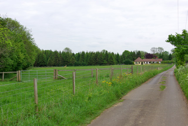
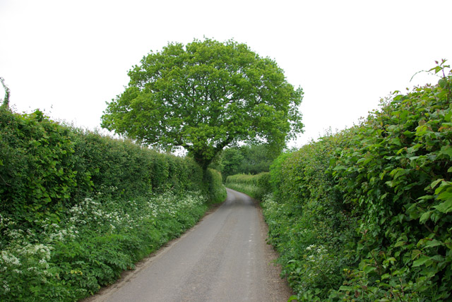
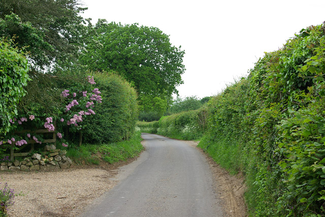
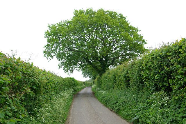
Stowting Images
Images are sourced within 2km of 51.135781/1.0361835 or Grid Reference TR1241. Thanks to Geograph Open Source API. All images are credited.


Stowting is located at Grid Ref: TR1241 (Lat: 51.135781, Lng: 1.0361835)
Administrative County: Kent
District: Shepway
Police Authority: Kent
What 3 Words
///trending.baking.hopping. Near Lyminge, Kent
Nearby Locations
Related Wikis
Stowting
Stowting is a village and civil parish in the English county of Kent. It is 6 miles (9.7 km) east of Ashford, 7 miles (11 km) north-west of Folkestone...
Farthing Common
Farthing Common is an area of common land about 10 km northwest of Folkestone in East Kent. It is one of the highest points of the North Downs at 185 metres...

Monks Horton
Monks Horton is a small civil parish in the Folkestone and Hythe district of Kent, England. It is located 3 miles (5 km) north of Hythe. Within the civil...
Brabourne
Brabourne is a village and civil parish in the Ashford district of Kent, England. The village centre is 4.5 miles (7.2 km) east of Ashford town centre...

Rhodes Minnis
Rhodes Minnis is a village near Folkestone in Kent, England, located between Lyminge and Stelling Minnis. It is in the civil parish of Elham. It was a...

Elmsted
Elmsted is a village and civil parish in the Folkestone and Hythe District of Kent, England. It is located west of Stone Street (the B2068), the Roman...
Gibbin's Brook
Gibbin's Brook is a 16.8-hectare (42-acre) biological Site of Special Scientific Interest in Sellindge in Kent.This site is mainly marshy grassland, but...

Postling
Postling is a village and civil parish situated near the Roman road of Stone Street, about 17 miles (27 km) south of Canterbury, Kent, in South East England...
Nearby Amenities
Located within 500m of 51.135781,1.0361835Have you been to Stowting?
Leave your review of Stowting below (or comments, questions and feedback).