Trout Lake
Lake, Pool, Pond, Freshwater Marsh in Kent Shepway
England
Trout Lake

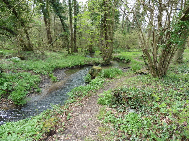
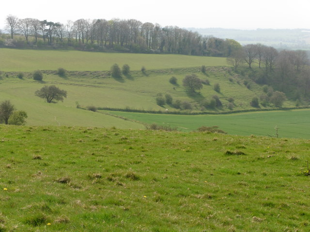
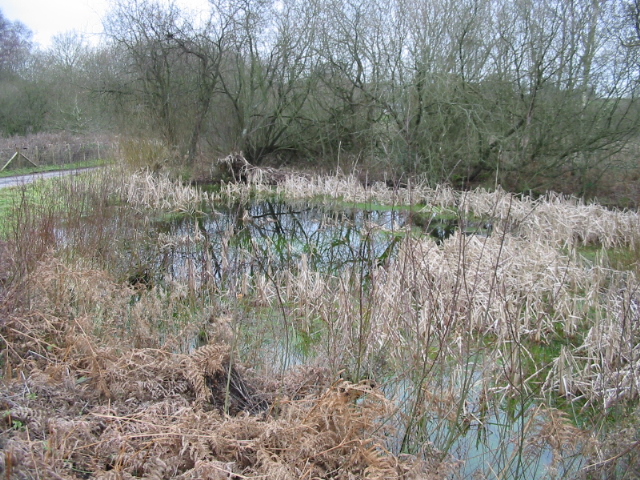
Trout Lake, located in Kent, is a picturesque body of water that offers a variety of recreational activities and serves as a vital habitat for numerous species. With an area of approximately 23 acres, this freshwater lake is nestled amidst the serene landscape of the Kent countryside.
As a popular fishing spot, Trout Lake attracts anglers of all levels. The lake is abundant with various species of fish, including trout, carp, perch, and pike. Fishing enthusiasts can be seen casting their lines from the shores or utilizing small boats to explore the deeper sections of the lake.
Apart from fishing, Trout Lake also provides opportunities for boating and kayaking. Its calm and clear waters make it an ideal place for leisurely paddling, allowing visitors to soak in the tranquility of the surroundings. Furthermore, the lake has a designated swimming area where locals and tourists can cool off during the summer months.
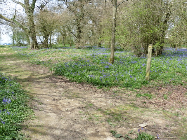
Surrounding the lake, there is a lush green landscape that includes a freshwater marsh and several ponds. These areas are home to a diverse range of flora and fauna, making it a haven for birdwatchers and nature enthusiasts. Visitors can observe a variety of waterfowl, such as ducks and swans, as well as small mammals and amphibians that inhabit the marsh and pond ecosystems.
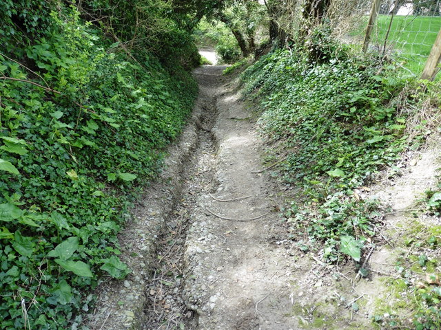
Trout Lake is easily accessible, with ample parking and well-maintained pathways leading to its shores. The area is also equipped with picnic tables and benches, allowing families and friends to enjoy a day out surrounded by nature. Whether it's fishing, boating, birdwatching, or simply enjoying a peaceful stroll, Trout Lake offers a serene and idyllic setting for all.
If you have any feedback on the listing, please let us know in the comments section below.
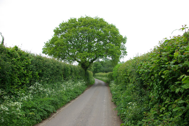
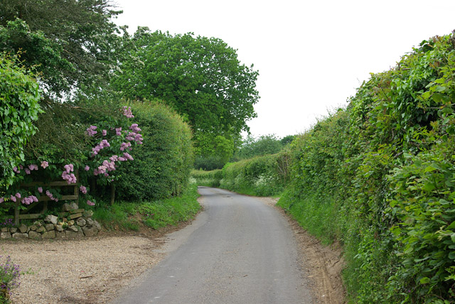
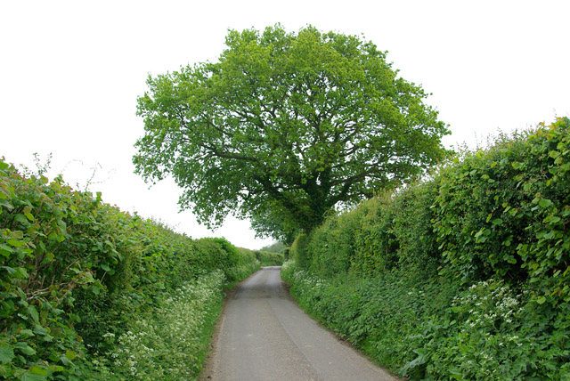
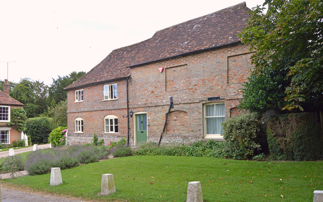
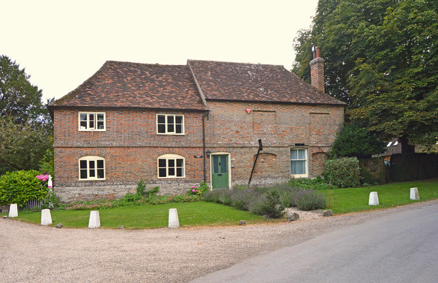
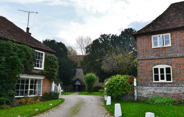
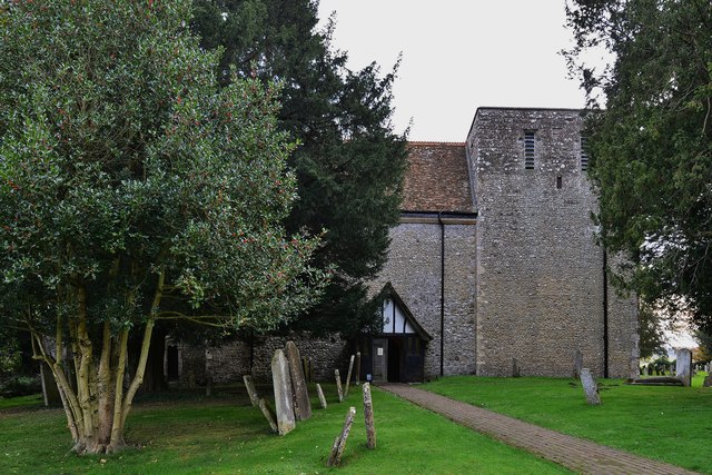
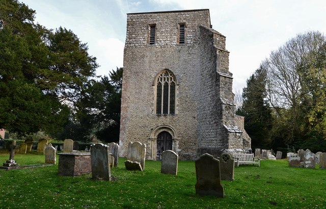
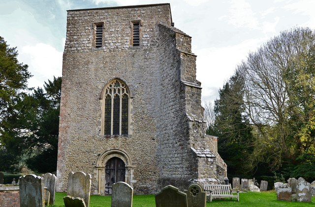
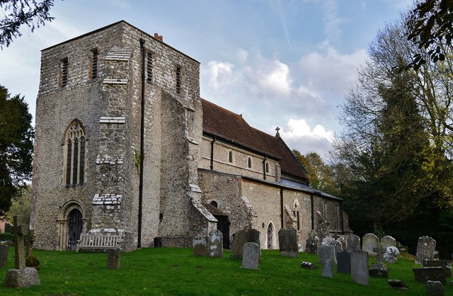
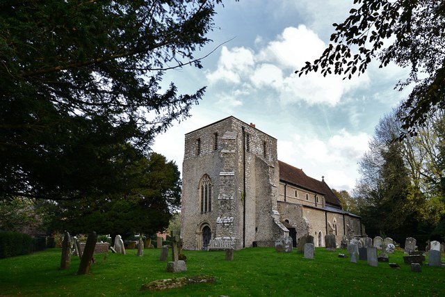
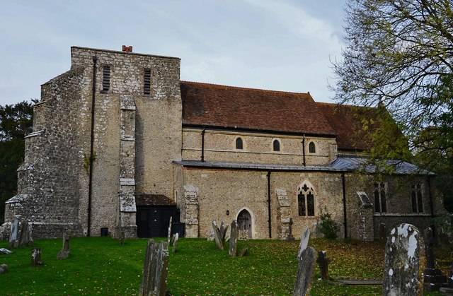
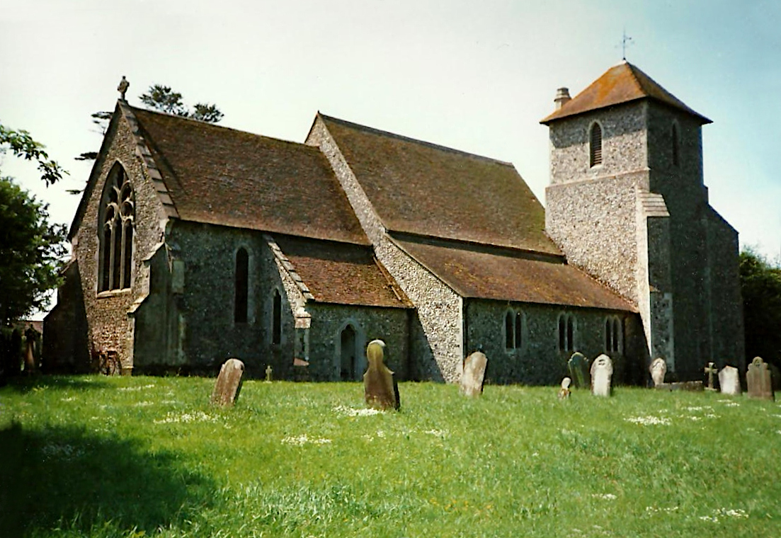
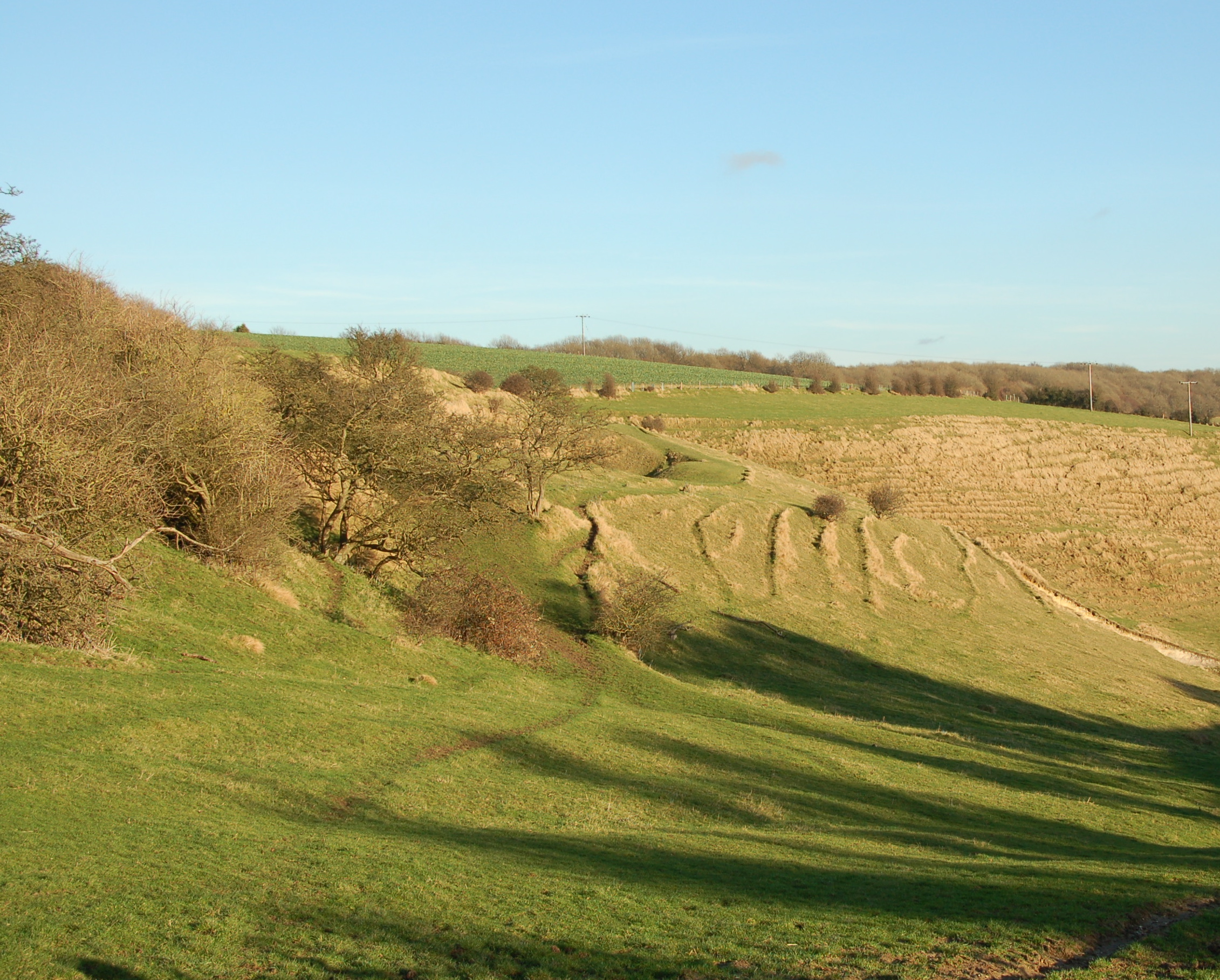
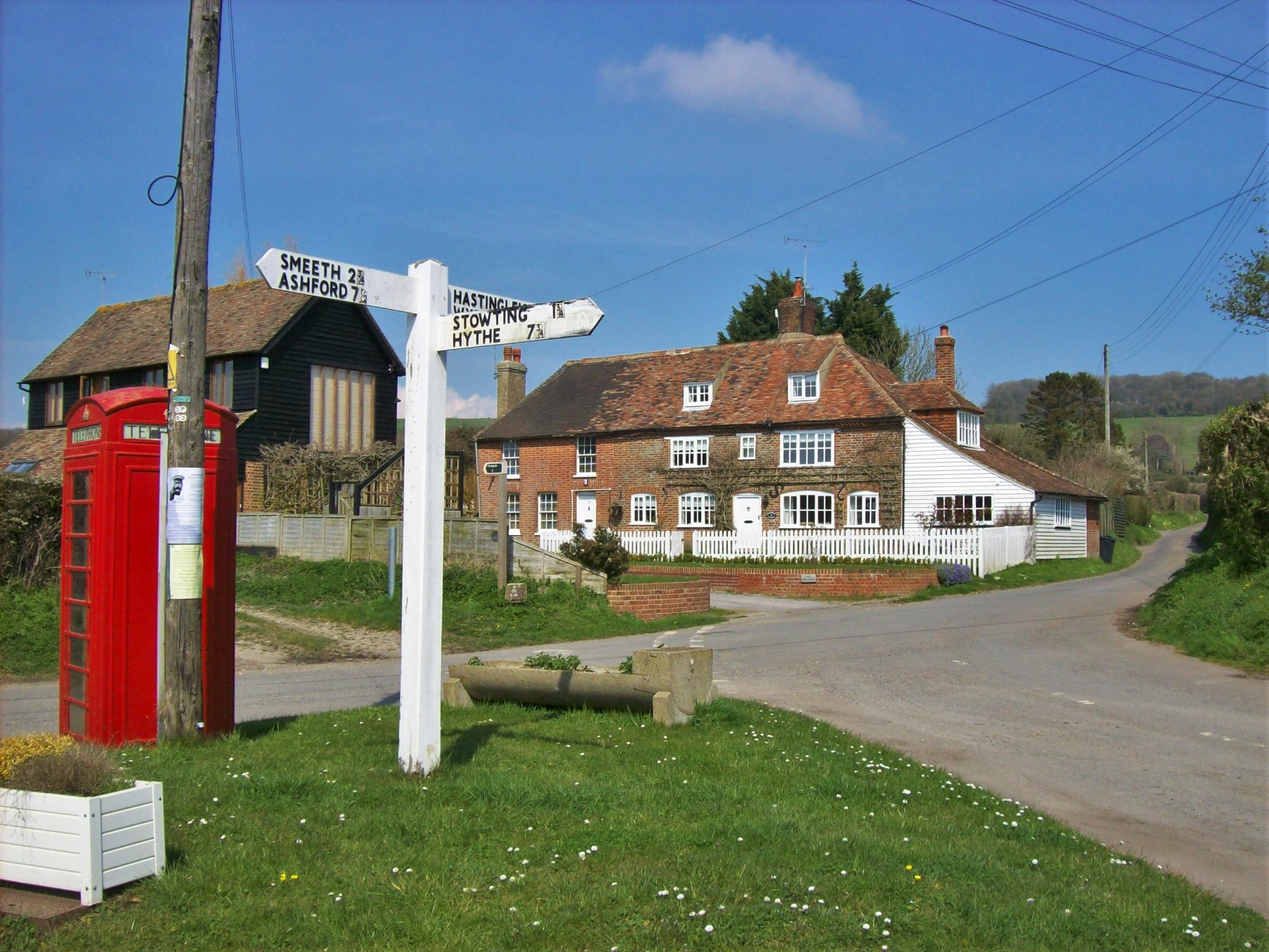
Trout Lake Images
Images are sourced within 2km of 51.133975/1.0333201 or Grid Reference TR1241. Thanks to Geograph Open Source API. All images are credited.

Trout Lake is located at Grid Ref: TR1241 (Lat: 51.133975, Lng: 1.0333201)
Administrative County: Kent
District: Shepway
Police Authority: Kent
What 3 Words
///contexts.movements.thumbnail. Near Lyminge, Kent
Nearby Locations
Related Wikis
Stowting
Stowting is a village and civil parish in the English county of Kent. It is 6 miles (9.7 km) east of Ashford, 7 miles (11 km) north-west of Folkestone...

Monks Horton
Monks Horton is a small civil parish in the Folkestone and Hythe district of Kent, England. It is located 3 miles (5 km) north of Hythe. Within the civil...
Farthing Common
Farthing Common is an area of common land about 10 km northwest of Folkestone in East Kent. It is one of the highest points of the North Downs at 185 metres...
Brabourne
Brabourne is a village and civil parish in the Ashford district of Kent, England. The village centre is 4.5 miles (7.2 km) east of Ashford town centre...
Gibbin's Brook
Gibbin's Brook is a 16.8-hectare (42-acre) biological Site of Special Scientific Interest in Sellindge in Kent.This site is mainly marshy grassland, but...

Rhodes Minnis
Rhodes Minnis is a village near Folkestone in Kent, England, located between Lyminge and Stelling Minnis. It is in the civil parish of Elham. It was a...

Postling
Postling is a village and civil parish situated near the Roman road of Stone Street, about 17 miles (27 km) south of Canterbury, Kent, in South East England...

Elmsted
Elmsted is a village and civil parish in the Folkestone and Hythe District of Kent, England. It is located west of Stone Street (the B2068), the Roman...
Nearby Amenities
Located within 500m of 51.133975,1.0333201Have you been to Trout Lake?
Leave your review of Trout Lake below (or comments, questions and feedback).