Swan Lake
Lake, Pool, Pond, Freshwater Marsh in Kent Canterbury
England
Swan Lake
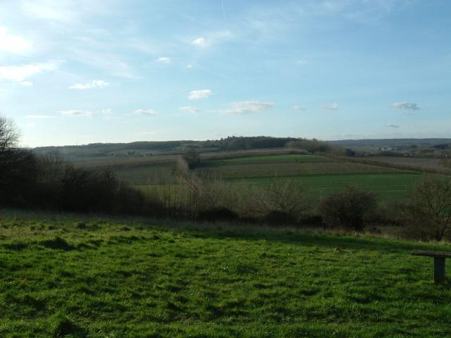
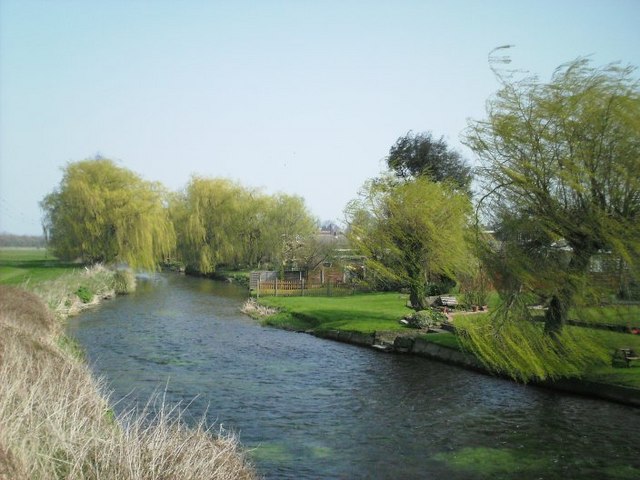
Swan Lake, located in Kent, is a picturesque body of water known for its serene beauty and abundant wildlife. Spanning an area of approximately 10 acres, the lake is a combination of a pool, pond, and freshwater marsh. It serves as a vital ecosystem for various plant and animal species, making it a popular destination for nature enthusiasts and birdwatchers.
The lake's crystal-clear water is home to a diverse range of aquatic vegetation, including lily pads, reeds, and water lilies. These plants not only enhance the visual appeal of Swan Lake but also provide a habitat for numerous fish, amphibians, and invertebrates.
As the name suggests, swans are a prominent feature of the lake, with several pairs residing here year-round. Visitors can observe these graceful birds gliding across the water, creating an enchanting sight. Additionally, other waterfowl such as ducks, geese, and herons can be spotted in and around the lake.
Swan Lake also boasts a thriving ecosystem of smaller creatures. Frogs and turtles can be seen basking in the sun along the lake's edge, while dragonflies and damselflies flit through the air. The marshy areas surrounding the lake provide a haven for various insects and butterflies, adding to the biodiversity of the area.
The tranquil surroundings of Swan Lake make it an ideal spot for leisurely walks, picnics, and photography. Its natural beauty, combined with the peaceful ambiance, offers a respite from the hustle and bustle of city life. Whether one is a nature lover or simply seeking a moment of tranquility, Swan Lake in Kent is a delightful destination to explore and appreciate the wonders of the natural world.
If you have any feedback on the listing, please let us know in the comments section below.
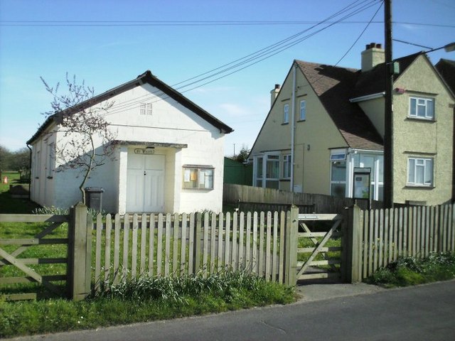
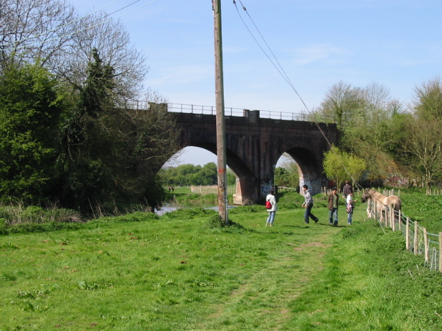
Swan Lake Images
Images are sourced within 2km of 51.267381/1.0410262 or Grid Reference TR1256. Thanks to Geograph Open Source API. All images are credited.

Swan Lake is located at Grid Ref: TR1256 (Lat: 51.267381, Lng: 1.0410262)
Administrative County: Kent
District: Canterbury
Police Authority: Kent
What 3 Words
///nearing.intricate.brushing. Near Chartham, Kent
Nearby Locations
Related Wikis

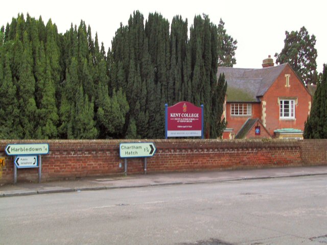
Chartham
Chartham is a village and civil parish in the Canterbury district of Kent, England. It is situated on the Ashford side of the city, and is in the North...

Thanington
Thanington is a civil parish on the west edge of Canterbury, Kent, United Kingdom. It extends to the south-west of A2 from Wincheap to the Milton Bridge...

Larkey Valley Wood
Larkey Valley Wood is a 44.1-hectare (109-acre) biological Site of Special Scientific Interest south of Canterbury in Kent. It is also a Local Nature Reserve...

Bigbury Camp
Bigbury Camp (formerly Bigberry Camp) is a univallate hill fort in the parish of Harbledown and Rough Common in Kent in England. The fort is a Scheduled...

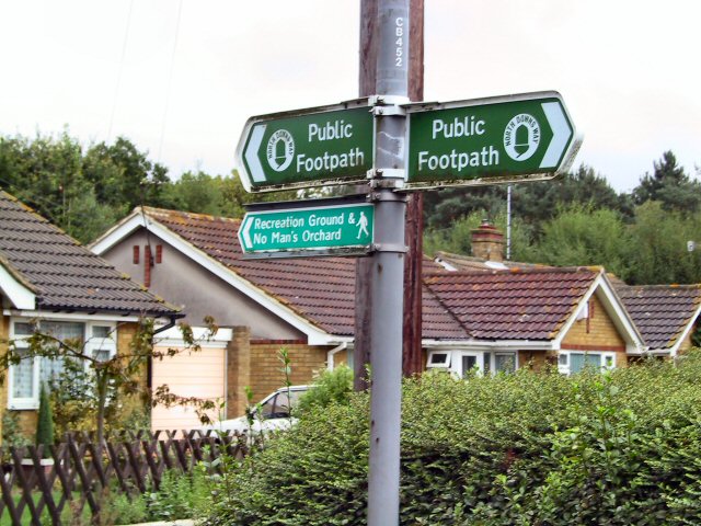
No Man's Orchard
No Man's Orchard is a 4.1-hectare (10-acre) Local Nature Reserve west of Canterbury in Kent. It is owned by Chartham and Harbledown Parish Councils and...

Canterbury Parkway railway station
Canterbury Parkway railway station is a proposed interchange between the Ashford–Ramsgate line and the Chatham Main Line near Canterbury, Kent. == Location... ==
Whitehall Meadows
Whitehall Meadows is a 11.6-hectare (29-acre) Local Nature Reserve in Canterbury in Kent. It is owned and managed by Canterbury City Council.This wet...

Harbledown
Harbledown is a village in Kent, England, immediately west of Canterbury and contiguous with the city. At local government level the village is designated...
Nearby Amenities
Located within 500m of 51.267381,1.0410262Have you been to Swan Lake?
Leave your review of Swan Lake below (or comments, questions and feedback).