Tonford Lake
Lake, Pool, Pond, Freshwater Marsh in Kent Canterbury
England
Tonford Lake
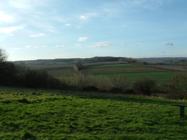
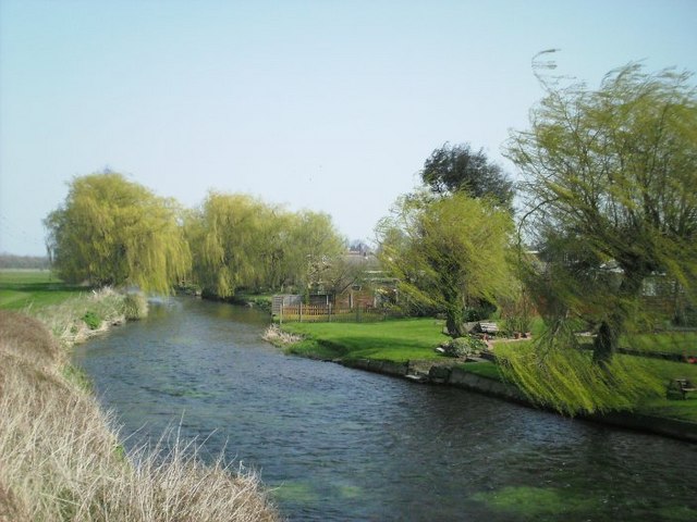
Tonford Lake is a picturesque body of water located in the county of Kent, England. Nestled amidst the rolling hills and lush meadows, this freshwater lake offers a tranquil retreat for nature enthusiasts and locals alike. Covering an area of approximately 15 acres, Tonford Lake is primarily fed by streams and rainfall runoff, ensuring a constant supply of freshwater.
The lake is characterized by its crystal-clear waters, which are home to a diverse range of aquatic flora and fauna. Its shores are adorned with vibrant reeds, rushes, and water lilies, creating a vibrant and colorful landscape. The lake's surface is dotted with small islands, providing nesting sites for various waterfowl species, including swans, ducks, and geese.
Tonford Lake is a popular spot for fishing enthusiasts, with an abundance of fish species such as pike, perch, and roach. Anglers can be seen casting their lines from the wooden fishing platforms that line the lake's edges. The lake is also a haven for birdwatchers, as it attracts a wide variety of bird species, including herons, kingfishers, and warblers.
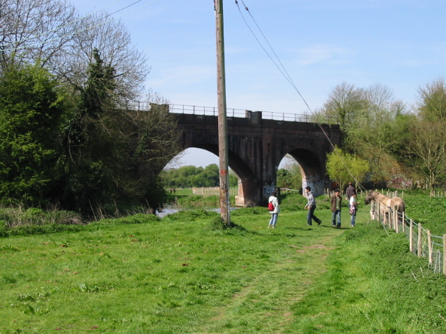
Surrounding the lake is a network of walking trails, offering visitors the opportunity to explore the area's natural beauty. The lake is also home to a diverse range of plant species, including water mint, watercress, and various types of grasses.
Tonford Lake is a cherished natural treasure in the heart of Kent, offering a serene and idyllic setting for outdoor activities, wildlife observation, and peaceful relaxation.
If you have any feedback on the listing, please let us know in the comments section below.
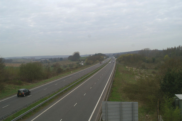
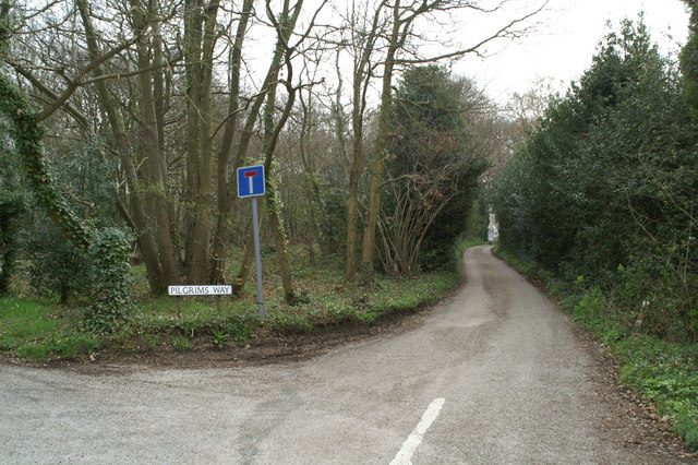
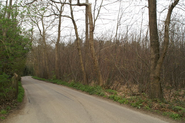
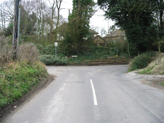
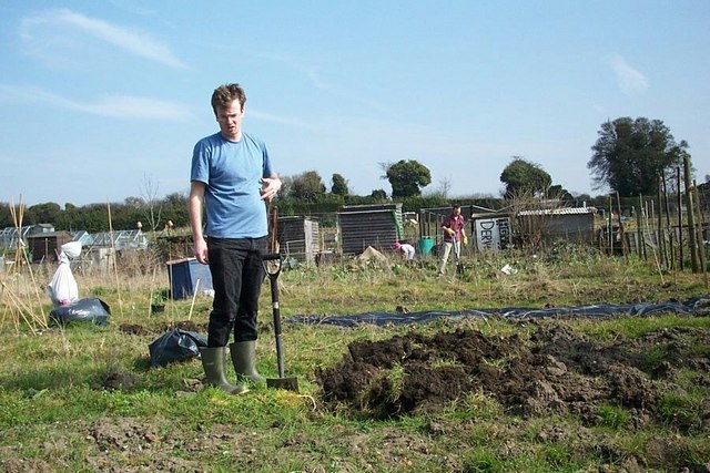
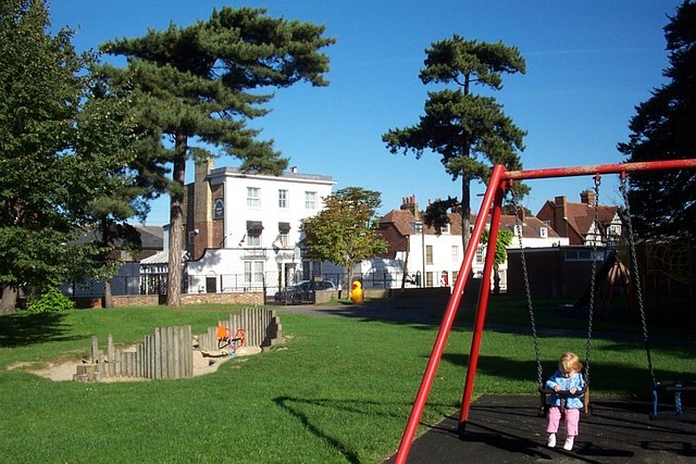
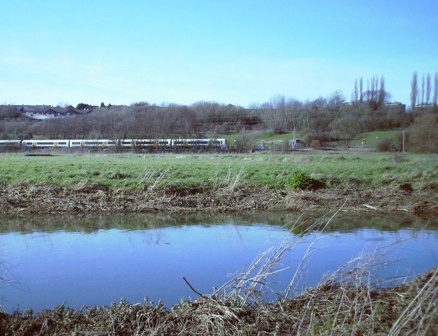
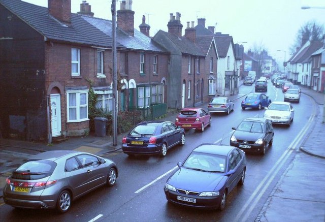
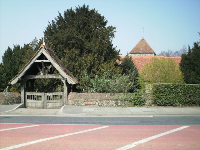
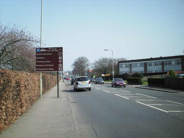
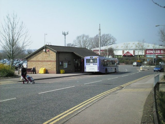
Tonford Lake Images
Images are sourced within 2km of 51.26996/1.0452687 or Grid Reference TR1256. Thanks to Geograph Open Source API. All images are credited.

Tonford Lake is located at Grid Ref: TR1256 (Lat: 51.26996, Lng: 1.0452687)
Administrative County: Kent
District: Canterbury
Police Authority: Kent
What 3 Words
///august.props.remedy. Near Chartham, Kent
Nearby Locations
Related Wikis

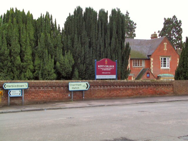
Chartham
Chartham is a village and civil parish in the Canterbury district of Kent, England. It is situated on the Ashford side of the city, and is in the North...

Thanington
Thanington is a civil parish on the west edge of Canterbury, Kent, United Kingdom. It extends to the south-west of A2 from Wincheap to the Milton Bridge...

Bigbury Camp
Bigbury Camp (formerly Bigberry Camp) is a univallate hill fort in the parish of Harbledown and Rough Common in Kent in England. The fort is a Scheduled...

Canterbury Parkway railway station
Canterbury Parkway railway station is a proposed interchange between the Ashford–Ramsgate line and the Chatham Main Line near Canterbury, Kent. == Location... ==

Larkey Valley Wood
Larkey Valley Wood is a 44.1-hectare (109-acre) biological Site of Special Scientific Interest south of Canterbury in Kent. It is also a Local Nature Reserve...
Whitehall Meadows
Whitehall Meadows is a 11.6-hectare (29-acre) Local Nature Reserve in Canterbury in Kent. It is owned and managed by Canterbury City Council.This wet...

The Canterbury Academy
The Canterbury Academy is a co-educational 11-19 academy school in Canterbury, Kent, England. It is a specialist Sports College and 15% of its 1081 pupils...

Harbledown
Harbledown is a village in Kent, England, immediately west of Canterbury and contiguous with the city. At local government level the village is designated...
Nearby Amenities
Located within 500m of 51.26996,1.0452687Have you been to Tonford Lake?
Leave your review of Tonford Lake below (or comments, questions and feedback).