School Plantation
Wood, Forest in Norfolk South Norfolk
England
School Plantation
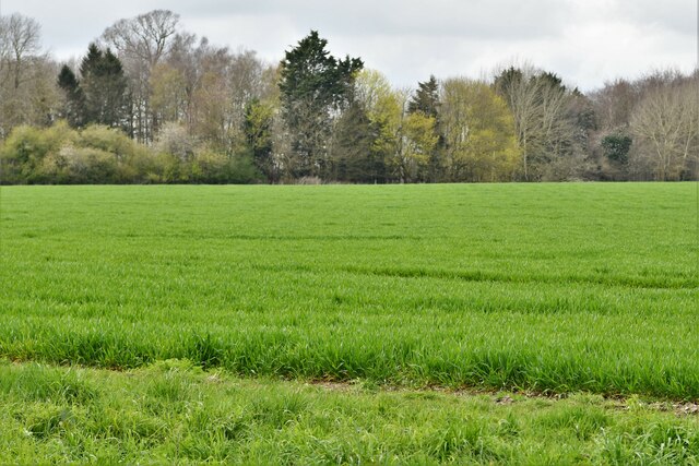
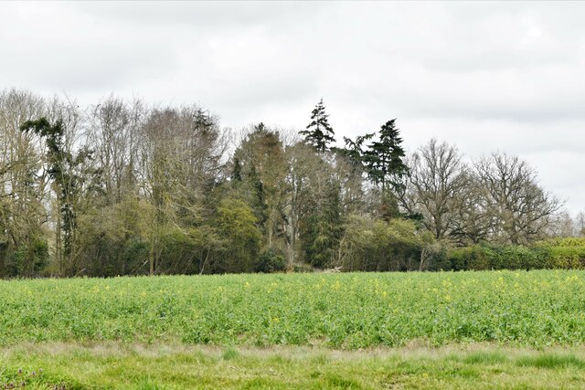
School Plantation, Norfolk, also known as Wood, Forest, is a picturesque area located in the county of Norfolk, England. Covering an area of approximately [insert size] square miles, this beautiful plantation is known for its lush greenery and serene atmosphere.
School Plantation is home to a diverse range of trees and plants, making it an ideal spot for nature enthusiasts and hikers. The plantation is predominantly composed of broadleaf trees such as oak, beech, and ash, which provide a vibrant canopy during the summer months. Additionally, the undergrowth is filled with various wildflowers, adding to the charm and beauty of the area.
This woodland is not only a haven for flora, but it also provides a habitat for a wide variety of wildlife. Visitors may catch glimpses of squirrels, rabbits, and various species of birds, including woodpeckers and owls. The presence of these animals adds to the enchanting experience of exploring the plantation.
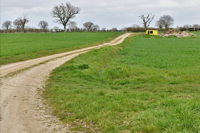
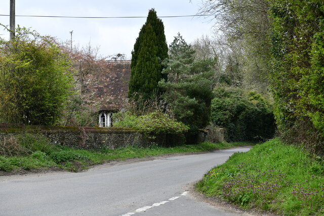
The School Plantation also offers several walking trails, allowing visitors to immerse themselves in the natural surroundings while enjoying a leisurely stroll. These paths are well-maintained and signposted, making it easy for visitors to navigate through the woodland.
Furthermore, the plantation is equipped with basic amenities such as picnic areas and benches, making it an ideal location for family outings and picnics. Moreover, the plantation is easily accessible, with ample parking available for visitors.
Overall, School Plantation, Norfolk, is a tranquil and captivating woodland that offers a perfect retreat from the hustle and bustle of everyday life. Its natural beauty and diverse ecosystem make it a must-visit destination for nature lovers and those seeking a peaceful escape.
If you have any feedback on the listing, please let us know in the comments section below.
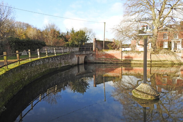
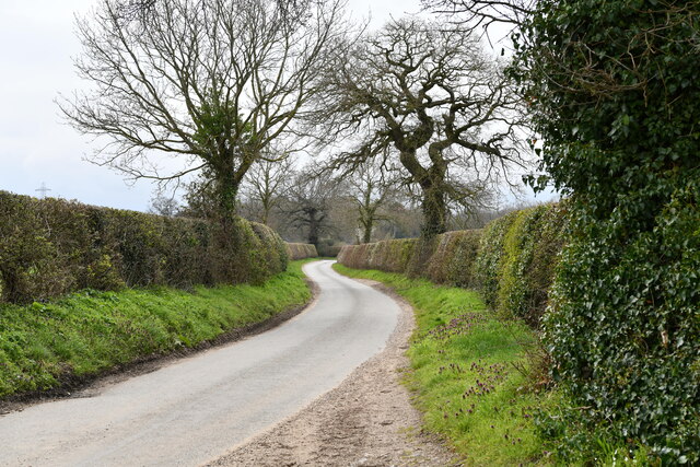
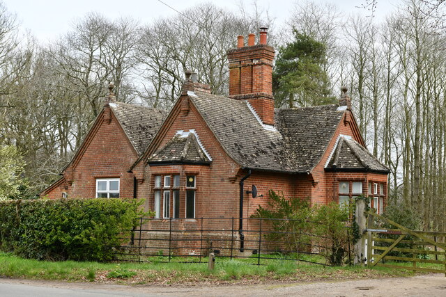
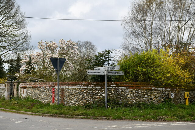
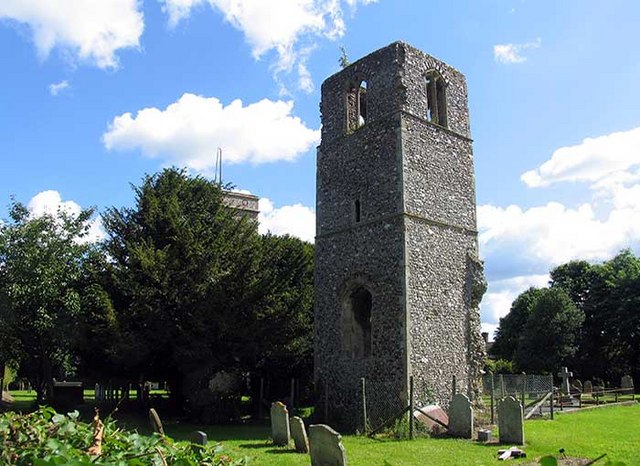
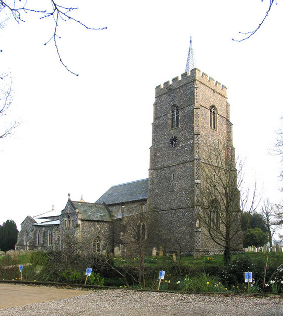
School Plantation Images
Images are sourced within 2km of 52.617139/1.1449154 or Grid Reference TG1206. Thanks to Geograph Open Source API. All images are credited.
School Plantation is located at Grid Ref: TG1206 (Lat: 52.617139, Lng: 1.1449154)
Administrative County: Norfolk
District: South Norfolk
Police Authority: Norfolk
What 3 Words
///loaf.tempting.threaded. Near Hethersett, Norfolk
Nearby Locations
Related Wikis

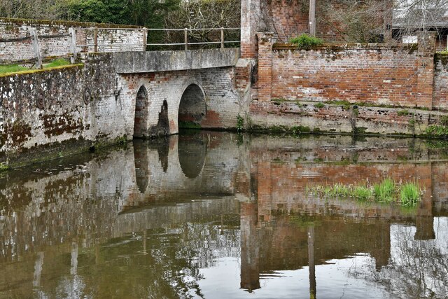
River Tiffey
The River Tiffey is a small river in Norfolk, England and a tributary of the River Yare. It rises near Hethel and passes through Wymondham before flowing...
Great Melton
Great Melton is a civil parish in the English county of Norfolk. It covers an area of 10.24 km2 (3.95 sq mi) and had a population of 148 in 59 households...

Barford, Norfolk
Barford is a village and civil parish in the English county of Norfolk, situated some 4 miles (6 km) north of Wymondham and 8 miles (13 km) west of Norwich...

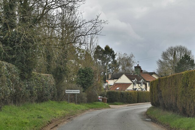
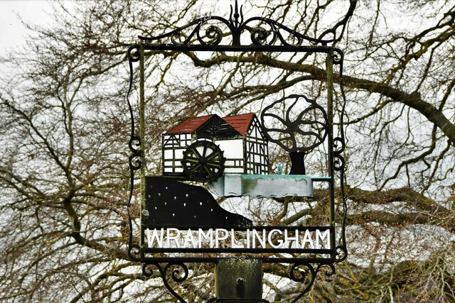
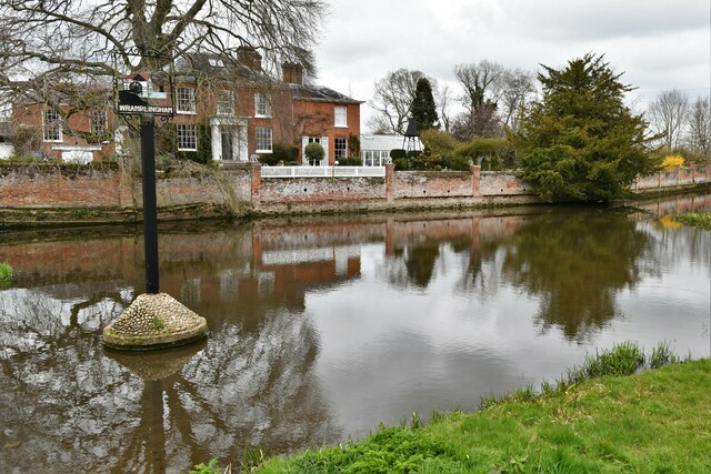
Wramplingham
Wramplingham is a village and civil parish in the English county of Norfolk. It is situated on the River Tiffey some 4 miles (6.4 km) north of Wymondham...

Marlingford
Marlingford is a village and former civil parish, 6 miles (9.7 km) west of Norwich, now in the parish of Marlingford and Colton, in the South Norfolk district...
Marlingford and Colton
Marlingford and Colton, formerly Marlingford is a civil parish in the English county of Norfolk, made from the villages of Colton and Marlingford. It covers...
Hethersett
Hethersett is a large village and electoral ward in the county of Norfolk, England, about 6 miles (10 km) south-west of Norwich. It covers an area of 4...

Bawburgh
Bawburgh () is a village and civil parish in the South Norfolk district of Norfolk, England, lying in the valley of the River Yare about 5 miles (8.0 km...
Nearby Amenities
Located within 500m of 52.617139,1.1449154Have you been to School Plantation?
Leave your review of School Plantation below (or comments, questions and feedback).