Coleseed Plantation
Wood, Forest in Norfolk South Norfolk
England
Coleseed Plantation
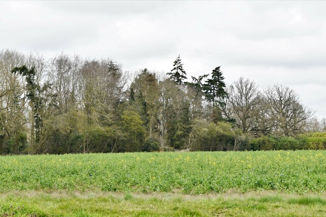
Coleseed Plantation is a picturesque woodland located in Norfolk, England. Spanning over a vast area, it is known for its dense and ancient forest, making it a popular destination for nature enthusiasts and hikers alike.
The plantation is predominantly covered in towering oak trees, creating a serene and tranquil atmosphere. The lush green canopy provides ample shade, making it an ideal spot for a leisurely walk or a peaceful picnic. The forest floor is adorned with vibrant wildflowers, adding a splash of color to the surroundings.
One of the standout features of Coleseed Plantation is its diverse wildlife. The forest is home to a variety of bird species, including owls, woodpeckers, and thrushes, making it a haven for birdwatchers. Squirrels, rabbits, and deer can also be spotted darting through the undergrowth, adding an element of excitement to any visit.
The plantation boasts several well-marked trails, catering to visitors of all fitness levels. These trails wind through the forest, offering breathtaking views of the surrounding countryside. Along the way, informative signage educates visitors about the unique flora and fauna found within the plantation.
Coleseed Plantation is open year-round, allowing visitors to experience the changing seasons in all their glory. Whether it's the vibrant blossoms of spring, the lush green foliage of summer, or the vibrant hues of autumn, the plantation offers a stunning display of nature's beauty throughout the year.
Overall, Coleseed Plantation is a must-visit destination for those seeking a peaceful escape into nature. With its ancient woodland, diverse wildlife, and well-maintained trails, it offers an unforgettable experience for individuals and families alike.
If you have any feedback on the listing, please let us know in the comments section below.
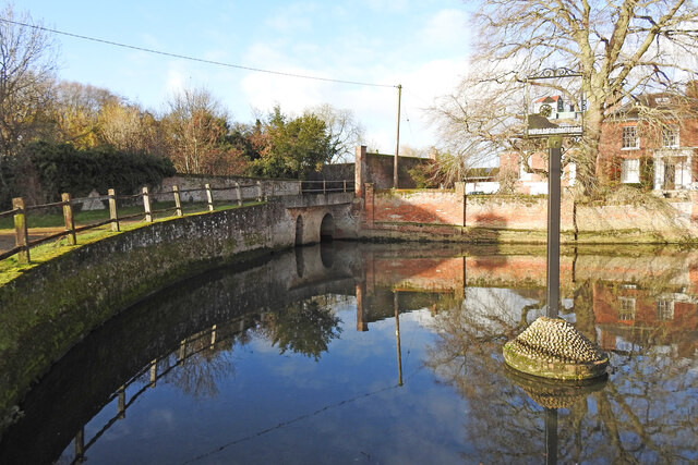
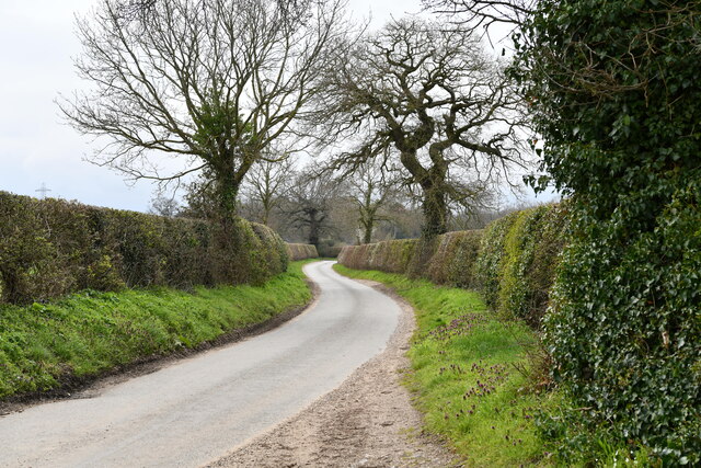
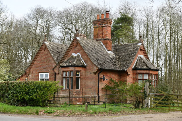
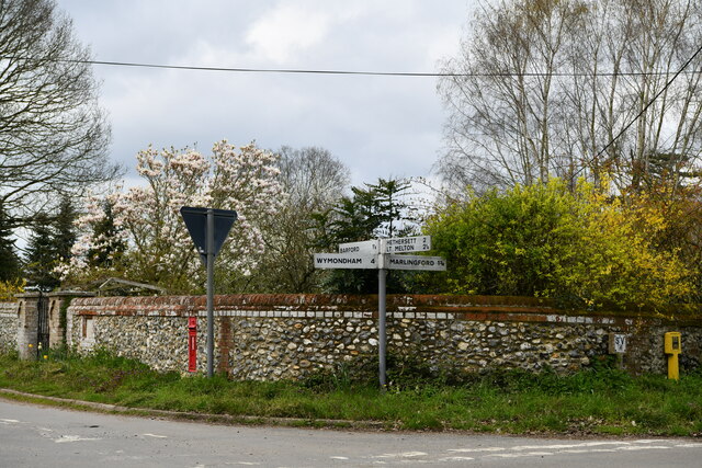
Coleseed Plantation Images
Images are sourced within 2km of 52.617496/1.1389271 or Grid Reference TG1206. Thanks to Geograph Open Source API. All images are credited.

Coleseed Plantation is located at Grid Ref: TG1206 (Lat: 52.617496, Lng: 1.1389271)
Administrative County: Norfolk
District: South Norfolk
Police Authority: Norfolk
What 3 Words
///storyline.vies.also. Near Hethersett, Norfolk
Nearby Locations
Related Wikis

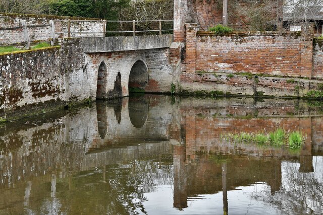
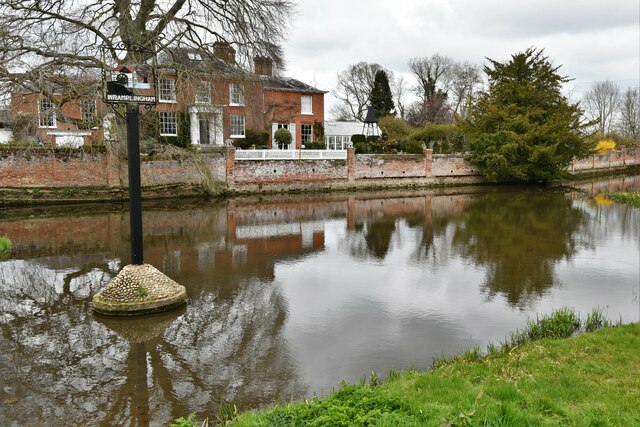
River Tiffey
The River Tiffey is a small river in Norfolk, England and a tributary of the River Yare. It rises near Hethel and passes through Wymondham before flowing...

Barford, Norfolk
Barford is a village and civil parish in the English county of Norfolk, situated some 4 miles (6 km) north of Wymondham and 8 miles (13 km) west of Norwich...
Great Melton
Great Melton is a civil parish in the English county of Norfolk. It covers an area of 10.24 km2 (3.95 sq mi) and had a population of 148 in 59 households...

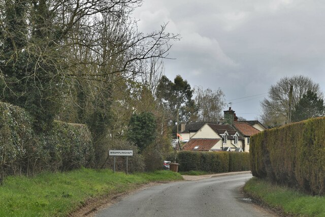
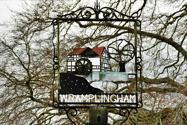
Wramplingham
Wramplingham is a village and civil parish in the English county of Norfolk. It is situated on the River Tiffey some 4 miles (6.4 km) north of Wymondham...

Marlingford
Marlingford is a village and former civil parish, 6 miles (9.7 km) west of Norwich, now in the parish of Marlingford and Colton, in the South Norfolk district...
Marlingford and Colton
Marlingford and Colton, formerly Marlingford is a civil parish in the English county of Norfolk, made from the villages of Colton and Marlingford. It covers...
Hethersett
Hethersett is a large village and electoral ward in the county of Norfolk, England, about 6 miles (10 km) south-west of Norwich. It covers an area of 4...
Easton College
Easton College is a college of further and higher education in Norfolk, United Kingdom. It is located on a 200-hectare (490-acre) campus in the village...
Nearby Amenities
Located within 500m of 52.617496,1.1389271Have you been to Coleseed Plantation?
Leave your review of Coleseed Plantation below (or comments, questions and feedback).