Hayton Wood
Wood, Forest in Kent Shepway
England
Hayton Wood
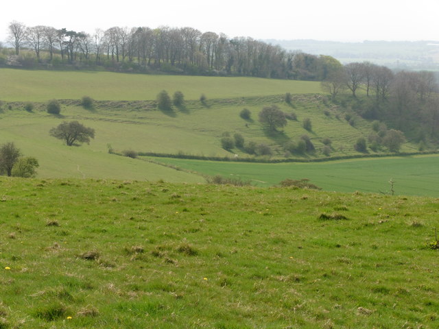
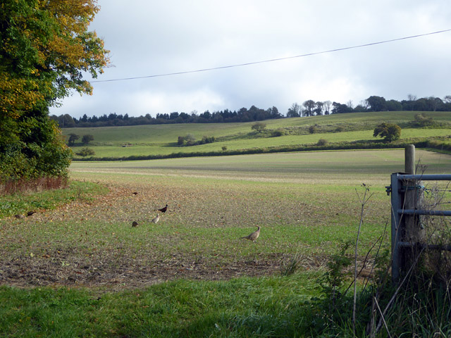
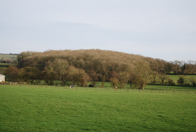
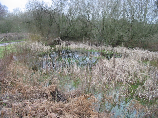
Hayton Wood is a picturesque woodland located in the county of Kent in southeastern England. This enchanting forest spans an area of approximately 100 acres and is nestled within the scenic landscape of the Kent Downs Area of Outstanding Natural Beauty.
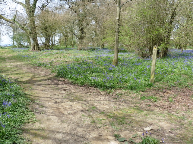
The wood is predominantly composed of native tree species, including oak, ash, beech, and birch, which create a diverse and vibrant ecosystem. The thick canopy of the trees provides a haven for an array of wildlife, such as deer, badgers, foxes, and a variety of bird species. Nature enthusiasts can often spot woodland birds like woodpeckers, owls, and thrushes flitting among the branches.
Hayton Wood offers a tranquil retreat for visitors seeking a peaceful escape from the hustle and bustle of everyday life. The wood is crisscrossed by a network of well-maintained footpaths, allowing nature lovers to explore the woodland at their own pace. As visitors wander through the leafy glades, they can immerse themselves in the sights, sounds, and scents of this ancient woodland.
The wood is also home to a diverse range of flora, with carpets of bluebells and wild garlic providing a stunning display in the spring. In the summer months, the undergrowth bursts into life with a riot of colors as wildflowers, such as foxgloves and primroses, bloom in abundance.
Hayton Wood, Kent, with its rich biodiversity and natural beauty, offers a captivating experience for visitors, whether they are seasoned hikers, nature enthusiasts, or simply individuals seeking solace in the serenity of the forest.
If you have any feedback on the listing, please let us know in the comments section below.
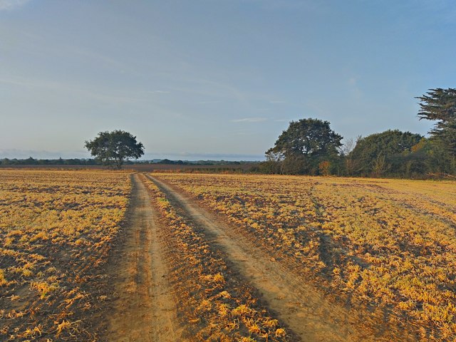
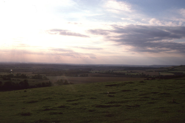
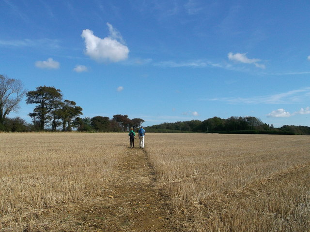
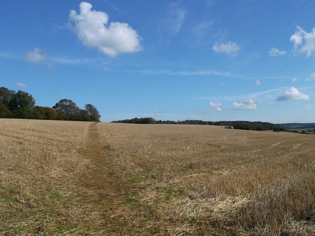
Hayton Wood Images
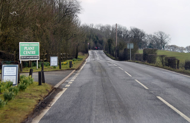
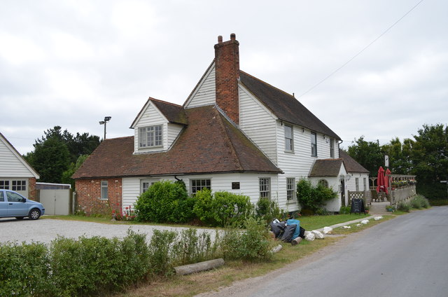
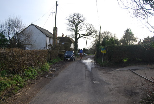
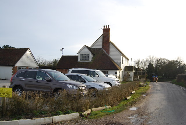
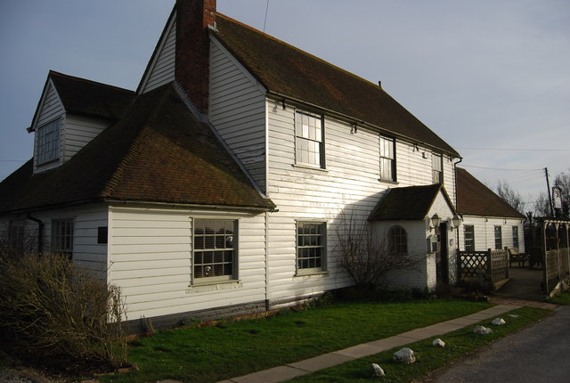
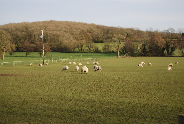
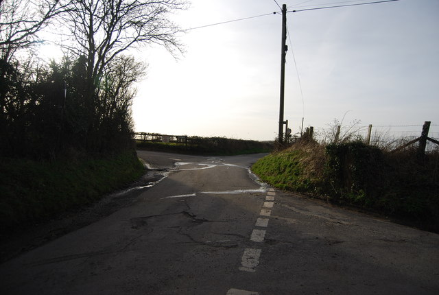
Images are sourced within 2km of 51.111679/1.0360173 or Grid Reference TR1239. Thanks to Geograph Open Source API. All images are credited.


Hayton Wood is located at Grid Ref: TR1239 (Lat: 51.111679, Lng: 1.0360173)
Administrative County: Kent
District: Shepway
Police Authority: Kent
What 3 Words
///unloaded.brownish.plunger. Near Lympne, Kent
Nearby Locations
Related Wikis

Stanford, Kent
Stanford is a village and civil parish in Kent, England. It is part of the Folkestone and Hythe district. The village developed along the ancient Roman...
Gibbin's Brook
Gibbin's Brook is a 16.8-hectare (42-acre) biological Site of Special Scientific Interest in Sellindge in Kent. This site is mainly marshy grassland, but...

Stanford Windmill
Stanford Windmill is a Grade II* listed tower mill in Stanford, Kent, England that was built in 1857. It stands on Kennett Lane in Stanford. == History... ==

Monks Horton
Monks Horton is a small civil parish in the Folkestone and Hythe district of Kent, England. It is located 3 miles (5 km) north of Hythe. Within the civil...
Nearby Amenities
Located within 500m of 51.111679,1.0360173Have you been to Hayton Wood?
Leave your review of Hayton Wood below (or comments, questions and feedback).