Rot Hole

Wood, Forest in Norfolk South Norfolk

England

Rot Hole

Low Common Lane Towards Bunwell Hill.
Low Common Lane Credit: Robin Webster

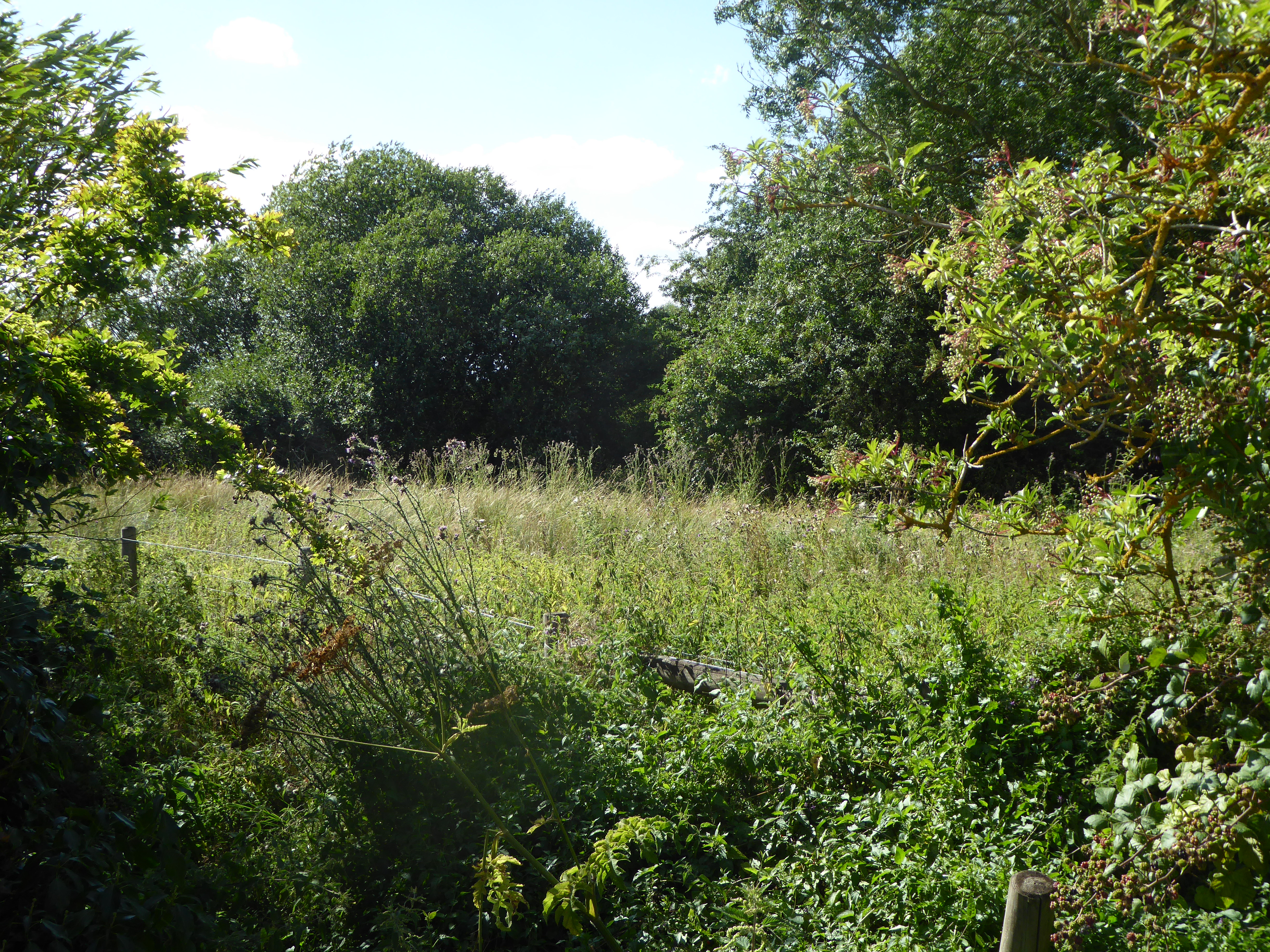
Rot Hole is a small woodland area located in the county of Norfolk, England. Nestled within the rolling countryside, it is situated near the village of Wood and is known for its picturesque beauty and diverse wildlife.

Covering an area of approximately 50 acres, Rot Hole is predominantly made up of mature oak and beech trees, with an understory of hazel and hawthorn. The woodland floor is carpeted with a rich layer of leaf litter, creating a natural habitat for a variety of plant species, including bluebells and wood anemones, which bloom in abundance during the spring months.

The forest is crisscrossed by a network of footpaths and trails, providing visitors with the opportunity to explore the area's natural wonders. One of the main attractions is a small, meandering stream that trickles through the woodland, adding to the peaceful ambiance of the surroundings.

The biodiversity of Rot Hole is particularly noteworthy, with the woodland providing a sanctuary for numerous animal species. Birdwatchers can spot a variety of feathered creatures, such as woodpeckers, owls, and songbirds, while mammal enthusiasts may catch glimpses of foxes, squirrels, and deer.

The management of Rot Hole is overseen by local conservation organizations, ensuring the preservation of its natural beauty and the protection of its inhabitants. Regular maintenance work, such as tree planting and removal of invasive species, helps to maintain the delicate balance of the ecosystem.

Overall, Rot Hole, Norfolk is a tranquil and enchanting woodland, offering nature lovers and outdoor enthusiasts a chance to immerse themselves in the beauty of the natural world.

If you have any feedback on the listing, please let us know in the comments section below.
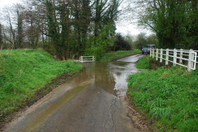
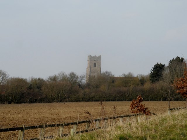
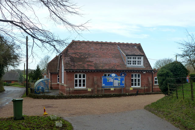
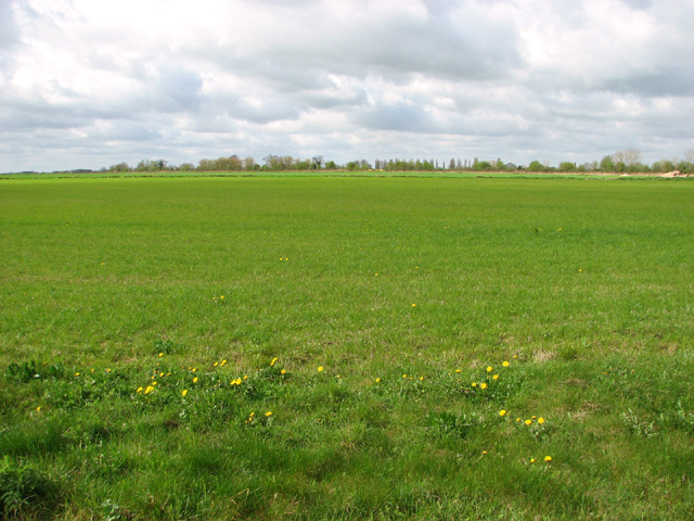
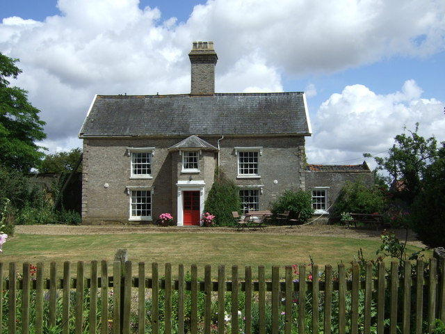
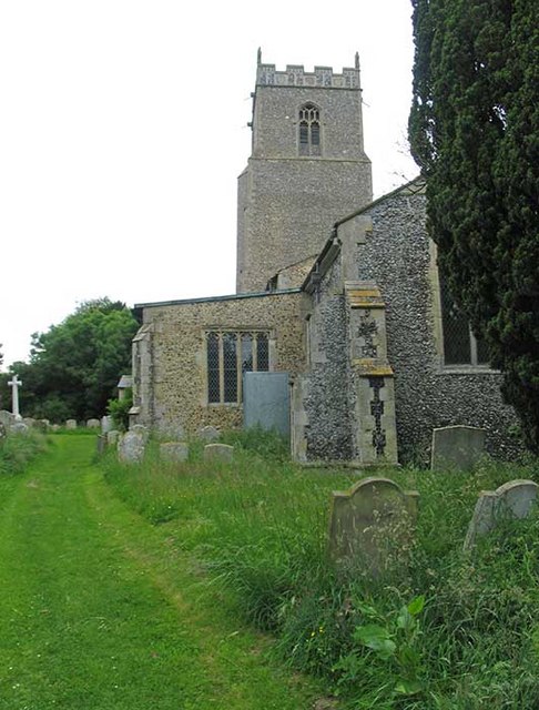
Rot Hole Images

Images are sourced within 2km of 52.473733/1.1292386 or Grid Reference TM1290. Thanks to Geograph Open Source API. All images are credited.

Low Common Lane Towards Bunwell Hill.
Low Common Lane
Towards Bunwell Hill.
Bunwell Hill The name of the road as well as the settlement.
Bunwell Hill
The name of the road as well as the settlement.
B1113 The Turnpike Towards New Buckenham.
B1113 The Turnpike
Towards New Buckenham.
Gower's Farm Ford This ford on the River Tas is found on Hall Road on the way to Bunwell Hill. The ford is in flood following heavy April rain.
Gower's Farm Ford
This ford on the River Tas is found on Hall Road on the way to Bunwell Hill. The ford is in flood following heavy April rain.
Church of St Michael and All Angels, Bunwell
Bunwell Primary School A plaque on the wall commemorates the school centenary: 1879 - 1979.
Bunwell Primary School
A plaque on the wall commemorates the school centenary: 1879 - 1979.
Cereal crop on the old Tibenham airfield This part of the old aerodrome has long since been returned to agriculture.
Cereal crop on the old Tibenham airfield
This part of the old aerodrome has long since been returned to agriculture.
St. Michael: the parish church of Bunwell This perpendicular church stands away from the village, just southeast.
St. Michael: the parish church of Bunwell
This perpendicular church stands away from the village, just southeast.
Mile Stone - Norwich  13
Mile Stone - Norwich 13
Ordnance Survey Cut Mark This OS cut mark can be found on the mile stone - Norwich 14. It marks a point 45.501m above mean sea level. <a title="https://www.geograph.org.uk/photo/4206202" href="https://www.geograph.org.uk/photo/4206202">Link</a>
Ordnance Survey Cut Mark
This OS cut mark can be found on the mile stone - Norwich 14. It marks a point 45.501m above mean sea level. Link
Mile Stone - Norwich 14 There is an Ordnance Survey cut mark on this mile stone. <a title="https://www.geograph.org.uk/photo/4206196" href="https://www.geograph.org.uk/photo/4206196">Link</a>
Mile Stone - Norwich 14
There is an Ordnance Survey cut mark on this mile stone. Link
Ordnance Survey Cut Mark This OS cut mark can be found on the SW angle of St Michael's Church. It marks a point 60.933m above mean sea level.
Ordnance Survey Cut Mark
This OS cut mark can be found on the SW angle of St Michael's Church. It marks a point 60.933m above mean sea level.
WW2 Memorial in Bunwell church The Memorial bears the names of eight Bunwell men who did in the 2nd World War.
WW1 Memorial: <a title="https://www.geograph.org.uk/photo/4516191" href="https://www.geograph.org.uk/photo/4516191">Link</a>
WW2 Memorial in Bunwell church
The Memorial bears the names of eight Bunwell men who did in the 2nd World War. WW1 Memorial: Link
WW1 Memorial in Bunwell church The Memorial bears the names of 14 Bunwell men who died in the 1st World War.
WW2 Memorial: <a title="https://www.geograph.org.uk/photo/4516188" href="https://www.geograph.org.uk/photo/4516188">Link</a>
WW1 Memorial in Bunwell church
The Memorial bears the names of 14 Bunwell men who died in the 1st World War. WW2 Memorial: Link
Stubble field off the B1113
The Turnpike (B1113) Heading north east towards Norwich.
The Turnpike (B1113)
Heading north east towards Norwich.
House on Ash Lane
House on Ash Lane
Footpath off Ash Lane Towards New Buckenham.
Footpath off Ash Lane
Towards New Buckenham.
Show me another place!

Rot Hole is located at Grid Ref: TM1290 (Lat: 52.473733, Lng: 1.1292386)

Administrative County: Norfolk

District: South Norfolk

Police Authority: Norfolk

What 3 Words

///testy.chops.officer. Near Banham, Norfolk

Nearby Locations

Rot Hole

Related Wikis

Tibenham, Norfolk

Tibenham is a village and civil parish located in the Depwade district of South Norfolk, England. The parish is 2 miles (3.2 km) north west of Tivetshall...

Carleton Rode

Carleton Rode is a village and civil parish in Norfolk, England. It is situated approximately five miles south-east of Attleborough. In the 2011 Census...

Aslacton

Aslacton is a village and civil parish in the English county of Norfolk. It is situated between Norwich and Diss, and is near Great Moulton. The closest...

Bunwell

Bunwell is a parish (population 1024) situated in the county of Norfolk, England, approximately 7 miles south-east of Attleborough. The parish includes...
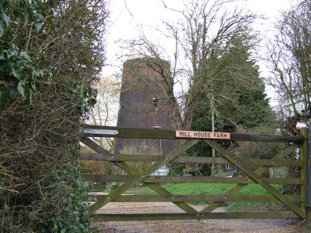
Aslacton Windmill

Aslacton Mill is a Grade II listed tower mill at Aslacton, Norfolk, England which is derelict. == History == Aslacton Mill was probably built in 1834,...

Aslacton Parish Land

Aslacton Parish Land is a 4.4-hectare (11-acre) biological Site of Special Scientific Interest west of Long Stratton in Norfolk.This site has wet and dry...

New Buckenham Common

New Buckenham Common is a common of which 20.9 hectares (52 acres) is a biological Site of Special Scientific Interest, located in New Buckenham, Norfolk...

New Buckenham

New Buckenham is a village and civil parish in the English county of Norfolk. The parish covers an area of 1.73 km2 (0.67 sq mi) and had a population of...

Nearby Amenities

Located within 500m of 52.473733,1.1292386
Barrier: stile
Foot: yes
Material: wood
Note: stile now broken
Stile: stepover
Lat/Long: 52.4736913/1.1349991
Barrier: stile
Bicycle: no
Foot: yes
Material: wood
Stile: stepover
Lat/Long: 52.4766846/1.1345813
Barrier: stile
Bicycle: yes
Foot: yes
Material: wood
Stile: stepover
Lat/Long: 52.4742409/1.1344564
Power: pole
Lat/Long: 52.4725054/1.1342239
Power: pole
Lat/Long: 52.4713813/1.1347335
Barrier: stile
Bicycle: no
Foot: yes
Material: wood
Note: Broken, overgrown.
Stile: stepover
Lat/Long: 52.4757752/1.1319346
Barrier: stile
Bicycle: no
Foot: yes
Material: wood
Note: Broken, overgrown.
Stile: stepover
Lat/Long: 52.4765223/1.1311039
Barrier: stile
Bicycle: no
Foot: yes
Material: wood
Stile: stepover
Lat/Long: 52.4773617/1.1303866
Barrier: stile
Foot: yes
Material: wood
Stile: stepover
Lat/Long: 52.4742679/1.134498
Barrier: stile
Bicycle: no
Foot: yes
Material: wood
Note: Broken, overgrown.
Stile: stepover
Lat/Long: 52.4749043/1.1280493
Note: Bridge missing over wide deep wet ditch,
Lat/Long: 52.4733866/1.1357504
Note: Bridge missing over wide deep wet ditch,
Lat/Long: 52.4733855/1.1357388
The data included in this document is from www.openstreetmap.org. The data is made available under ODbL.

Have you been to Rot Hole?

Leave your review of Rot Hole below (or comments, questions and feedback).