Hazel Grove

Wood, Forest in Norfolk South Norfolk

England

Hazel Grove

Honingham: Blind Lane
Honingham: Blind Lane Credit: Michael Garlick

Hazel Grove, Norfolk, also known as Wood or Forest, is a small village located in the county of Norfolk, England. Situated in the eastern part of the country, Hazel Grove is surrounded by lush greenery and natural beauty.

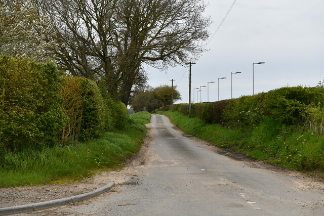
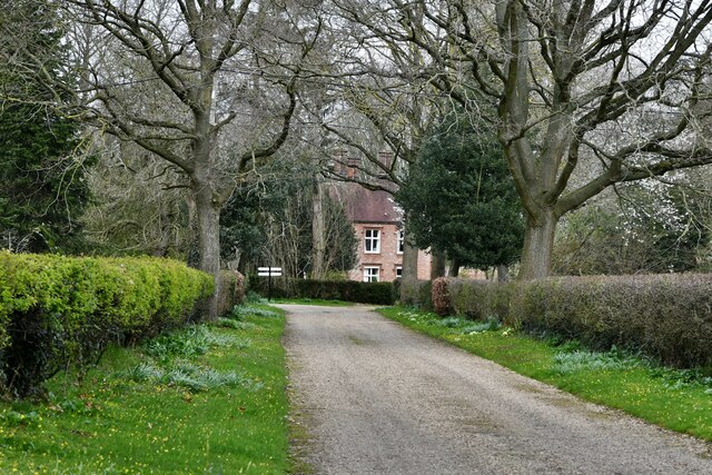
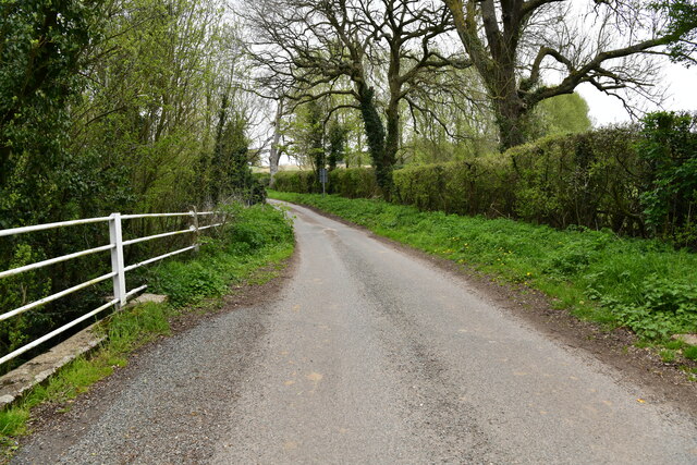
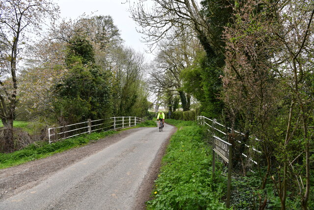
The village gets its name from the abundance of hazel trees that grow in the area, creating a picturesque landscape. The woodland and forested areas provide a serene and tranquil environment for residents and visitors alike.

Hazel Grove is a close-knit community with a small population. The village is known for its friendly atmosphere and welcoming locals. It has a strong sense of community spirit, with various events and gatherings organized throughout the year.

The natural surroundings of Hazel Grove offer numerous recreational opportunities for nature enthusiasts. The forested areas are ideal for hiking, walking, and exploring the flora and fauna. The village is also home to several species of wildlife, including deer and various bird species, making it a haven for nature lovers and birdwatchers.

Despite being a small village, Hazel Grove has some amenities to cater to the needs of its residents. It has a village hall, where community events and gatherings take place, providing a space for socializing and community engagement.

Overall, Hazel Grove, Norfolk is a charming village surrounded by woodlands and forests, offering a peaceful and idyllic setting for those seeking a retreat from the hustle and bustle of city life.

If you have any feedback on the listing, please let us know in the comments section below.

Hazel Grove Images

Images are sourced within 2km of 52.634786/1.1407864 or Grid Reference TG1208. Thanks to Geograph Open Source API. All images are credited.

Honingham: Blind Lane
Easton: Food Enterprise Park
Great Melton, The Old Rectory
Colton: Church Lane
Colton: Church Lane
Colton: Crossroad
Colton: Crossroad
Colton: Colton Wood
Colton: Colton Wood
Colton: Barford Road
Barford: Track by the river
Barford: The River Yare from the road bridge over it
Barford: Bridge over the River Yare
Barford: The River Yare from the road bridge over it
Barford: Bridge over the River Yare
Marlingford Road At the entrance to Easton College and Broom Lane
Marlingford Road
At the entrance to Easton College and Broom Lane
Easton College sign Off Marlingford Road at the junction with Broom Lane
Easton College sign
Off Marlingford Road at the junction with Broom Lane
Broom Lane sign On Broom Lane at the junction with Marlingford Road
Broom Lane sign
On Broom Lane at the junction with Marlingford Road
Broom Lane At the junction with Marlingford Road
Broom Lane
At the junction with Marlingford Road
Easton College entrance At the junction with Marlingford Road & Broom Lane
Easton College entrance
At the junction with Marlingford Road & Broom Lane
Entering Easton on Marlingford Road <span class="nowrap"><a title="https://en.wikipedia.org/wiki/Easton,_Norfolk" rel="nofollow ugc noopener" href="https://en.wikipedia.org/wiki/Easton,_Norfolk">Link</a><img style="margin-left:2px;" alt="External link" title="External link - shift click to open in new window" src="https://s1.geograph.org.uk/img/external.png" width="10" height="10"/></span>
Entering Easton on Marlingford Road
Show me another place!

Hazel Grove is located at Grid Ref: TG1208 (Lat: 52.634786, Lng: 1.1407864)

Administrative County: Norfolk

District: South Norfolk

Police Authority: Norfolk

What 3 Words

///fatherly.laughs.commuted. Near Hethersett, Norfolk

Related Wikis

Marlingford

Marlingford is a village and former civil parish, 6 miles (9.7 km) west of Norwich, now in the parish of Marlingford and Colton, in the South Norfolk district...

Marlingford and Colton

Marlingford and Colton, formerly Marlingford is a civil parish in the English county of Norfolk, made from the villages of Colton and Marlingford. It covers...
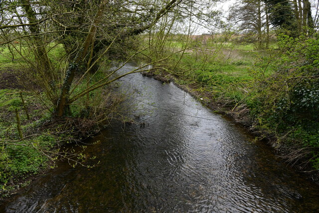
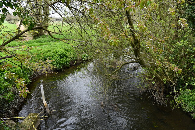
River Tiffey

The River Tiffey is a small river in Norfolk, England and a tributary of the River Yare. It rises near Hethel and passes through Wymondham before flowing...

Barford, Norfolk

Barford is a village and civil parish in the English county of Norfolk, situated some 4 miles (6 km) north of Wymondham and 8 miles (13 km) west of Norwich...

Easton College

Easton College is a college of further and higher education in Norfolk, United Kingdom. It is located on a 200-hectare (490-acre) campus in the village...

Colton, Norfolk

Colton is a village and former civil parish, 8 miles (13 km) west of Norwich, now in the parish of Marlingford and Colton, in the South Norfolk district...
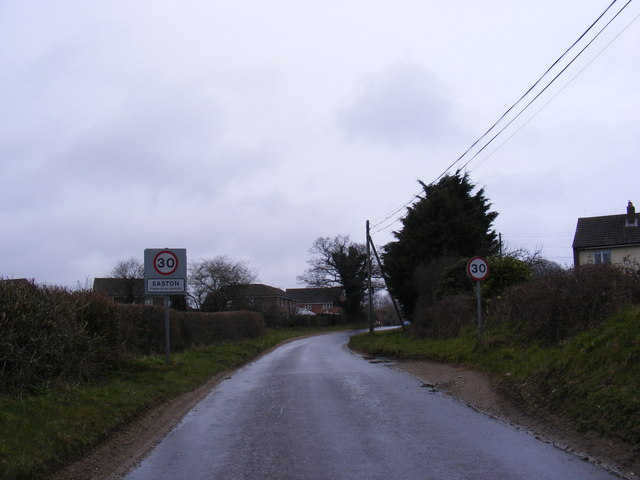
Easton, Norfolk

Easton is a village and civil parish in the English county of Norfolk. The village is located 6.2 miles (10.0 km) north-west of Norwich and 9 miles (14...

Wramplingham

Wramplingham is a village and civil parish in the English county of Norfolk. It is situated on the River Tiffey some 4 miles (6.4 km) north of Wymondham...

Nearby Amenities

Located within 500m of 52.634786,1.1407864
Barford Road, adj
Naptan AtcoCode: 2900M028
Naptan Bearing: SE
Naptan BusStopType: CUS
Naptan CommonName: Barford Road
Naptan Indicator: adj
Naptan Landmark: Barford Rd
Naptan Locality: Marlingford
Naptan NaptanCode: nfogjwpg
Naptan Street: Church Road
Naptan Verified: no
Source: naptan_import
Lat/Long: 52.6343056/1.1378563
Barford Road, opp
Naptan AtcoCode: 2900M029
Naptan Bearing: NW
Naptan BusStopType: CUS
Naptan CommonName: Barford Road
Naptan Indicator: opp
Naptan Landmark: Barford Rd
Naptan Locality: Marlingford
Naptan NaptanCode: nfogjwpm
Naptan Street: Church Road
Naptan Verified: no
Source: naptan_import
Lat/Long: 52.6342291/1.1376882
Bow Hill, opp
Alt Name: Marlingford Mill
Naptan AltCommonName: Marlingford Mill
Naptan AtcoCode: 2900M123
Naptan Bearing: E
Naptan BusStopType: CUS
Naptan CommonName: Bow Hill
Naptan Indicator: opp
Naptan Landmark: opp Mill House
Naptan Locality: Marlingford
Naptan NaptanCode: nfogjwpa
Naptan Street: Bow Hill
Naptan Verified: no
Source: naptan_import
Lat/Long: 52.6312258/1.1441098
Bow Hill, adj
Alt Name: Marlingford- opp Mill
Naptan AltCommonName: Marlingford- opp Mill
Naptan AtcoCode: 2900M124
Naptan Bearing: W
Naptan BusStopType: CUS
Naptan CommonName: Bow Hill
Naptan Indicator: adj
Naptan Landmark: Mill House
Naptan Locality: Marlingford
Naptan NaptanCode: nfogjwpd
Naptan Street: Bow Hill
Naptan Verified: no
Source: naptan_import
Lat/Long: 52.6312196/1.1440059
Marlingford
Place: village
Lat/Long: 52.6362729/1.145027
Former Amenity: post_box
Note: Post remains, but no box, as of 2019-04
Lat/Long: 52.6345127/1.1376297
Location Transition: yes
Power: pole
Transformer: distribution
Lat/Long: 52.631752/1.1405738
Power: pole
Lat/Long: 52.6317313/1.1406147
Power: pole
Lat/Long: 52.631352/1.1415106
Location Transition: yes
Power: pole
Lat/Long: 52.6311566/1.1416219
Entrance: main
Lat/Long: 52.6308797/1.1417714
Waste Basket
Waste: dog_excrement
Lat/Long: 52.6312335/1.1422757
Entrance: yes
Lat/Long: 52.6309987/1.1417627
Power: pole
Lat/Long: 52.6314187/1.142672
Power: pole
Lat/Long: 52.6314708/1.1420497
Power: pole
Lat/Long: 52.6315343/1.141414
Give Way
Lat/Long: 52.6345137/1.1375131
Give Way
Lat/Long: 52.6344766/1.1375604
The data included in this document is from www.openstreetmap.org. The data is made available under ODbL.

Have you been to Hazel Grove?

Leave your review of Hazel Grove below (or comments, questions and feedback).