Morris' Grove
Wood, Forest in Norfolk South Norfolk
England
Morris' Grove
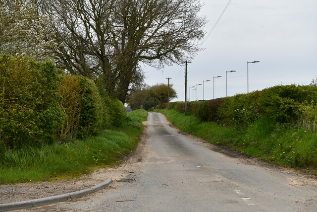
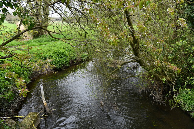
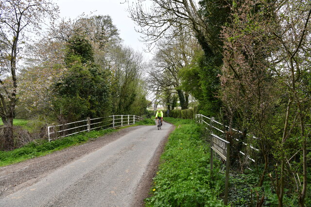
Morris' Grove, located in Norfolk, is a picturesque wood or forest that offers a serene and enchanting natural setting. Spread across a vast expanse of land, it is known for its dense vegetation, towering trees, and diverse wildlife.
The grove is home to a variety of tree species, including oak, beech, ash, and pine, which contribute to its lush and verdant appearance throughout the year. The forest floor is covered in a thick carpet of moss and ferns, creating a vibrant undergrowth.
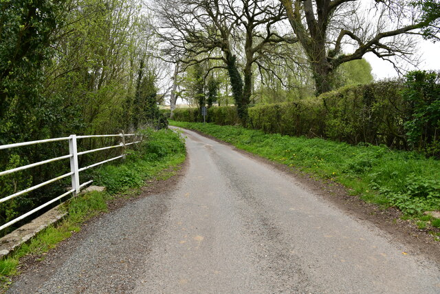
Visitors to Morris' Grove can enjoy a tranquil walk along the well-maintained trails that wind through the forest. These trails are suitable for all levels of fitness and offer a chance to immerse oneself in the beauty of nature. The air is filled with the melodious sounds of birdsong, and it is not uncommon to spot squirrels, rabbits, and other small mammals scurrying about.
Nature enthusiasts will be delighted by the wide range of flora and fauna that call Morris' Grove home. Wildflowers, such as bluebells and primroses, bloom in abundance during the spring, adding bursts of color to the green landscape. Birdwatchers can observe various species, including woodpeckers, thrushes, and finches, making it a haven for avian enthusiasts.
Morris' Grove is not only a place of natural beauty but also holds historical significance. It is believed to have existed for centuries and has served as a backdrop for various local folklore and legends.
Overall, Morris' Grove is a captivating woodland retreat, offering visitors a chance to connect with nature, explore its trails, and appreciate the wonders of the Norfolk countryside.
If you have any feedback on the listing, please let us know in the comments section below.
Morris' Grove Images
Images are sourced within 2km of 52.636546/1.1334031 or Grid Reference TG1208. Thanks to Geograph Open Source API. All images are credited.


Morris' Grove is located at Grid Ref: TG1208 (Lat: 52.636546, Lng: 1.1334031)
Administrative County: Norfolk
District: South Norfolk
Police Authority: Norfolk
What 3 Words
///domestic.printouts.picture. Near Hethersett, Norfolk
Nearby Locations
Related Wikis

Marlingford and Colton
Marlingford and Colton, formerly Marlingford is a civil parish in the English county of Norfolk, made from the villages of Colton and Marlingford. It covers...
Marlingford
Marlingford is a village and former civil parish, 6 miles (9.7 km) west of Norwich, now in the parish of Marlingford and Colton, in the South Norfolk district...

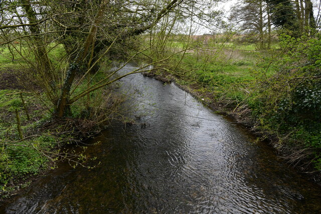
River Tiffey
The River Tiffey is a small river in Norfolk, England and a tributary of the River Yare. It rises near Hethel and passes through Wymondham before flowing...

Colton, Norfolk
Colton is a village and former civil parish, 8 miles (13 km) west of Norwich, now in the parish of Marlingford and Colton, in the South Norfolk district...

Barford, Norfolk
Barford is a village and civil parish in the English county of Norfolk, situated some 4 miles (6 km) north of Wymondham and 8 miles (13 km) west of Norwich...
Easton College
Easton College is a college of further and higher education in Norfolk, United Kingdom. It is located on a 200-hectare (490-acre) campus in the village...

Easton, Norfolk
Easton is a village and civil parish in the English county of Norfolk. The village is located 6.2 miles (10.0 km) north-west of Norwich and 9 miles (14...

Wramplingham
Wramplingham is a village and civil parish in the English county of Norfolk. It is situated on the River Tiffey some 4 miles (6.4 km) north of Wymondham...
Nearby Amenities
Located within 500m of 52.636546,1.1334031Have you been to Morris' Grove?
Leave your review of Morris' Grove below (or comments, questions and feedback).