Monks Horton
Civil Parish in Kent Folkestone and Hythe
England
Monks Horton

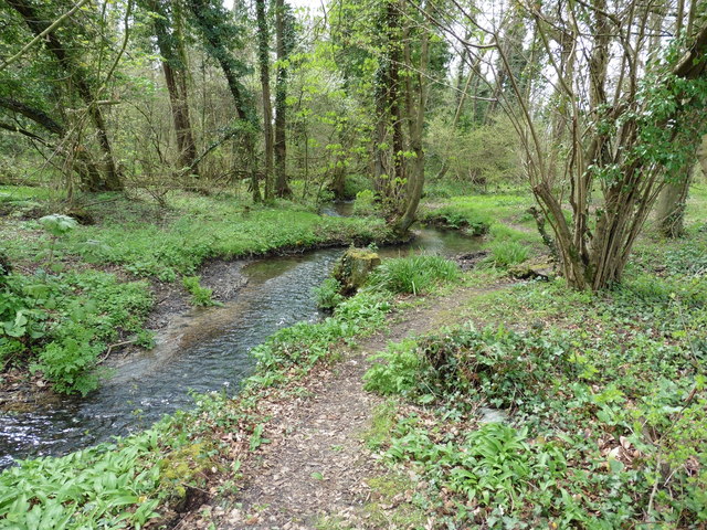
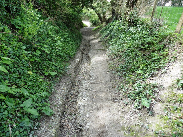
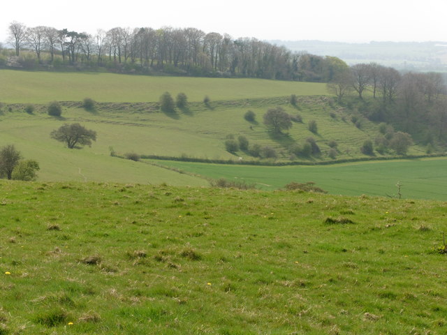
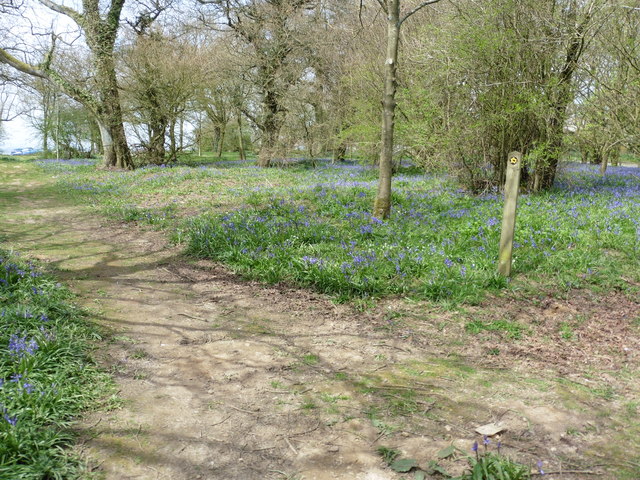
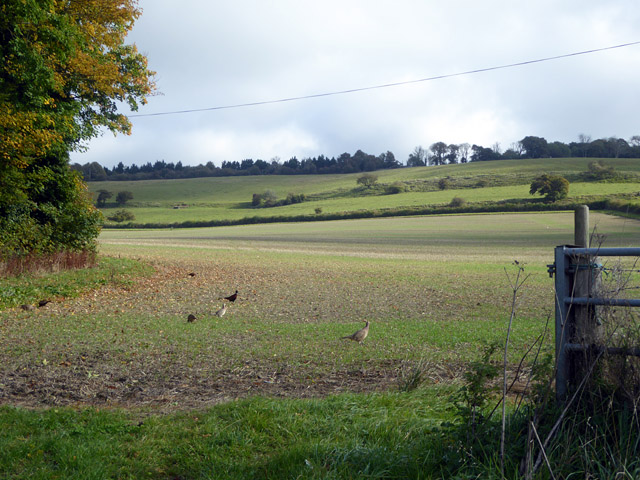
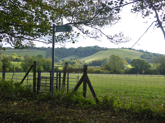
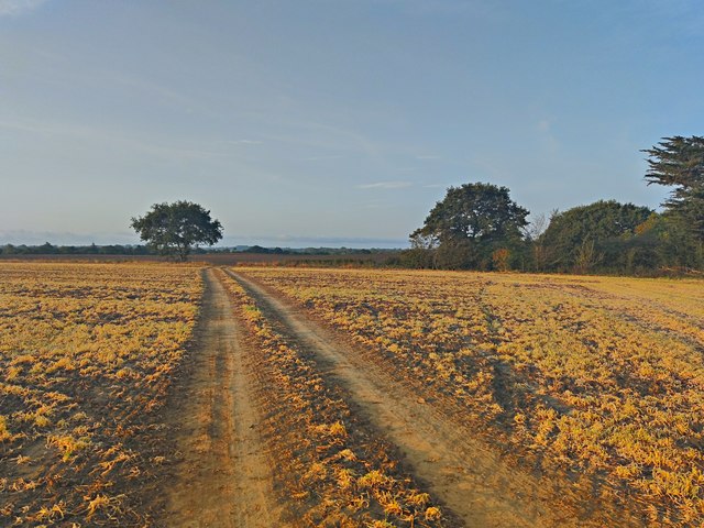
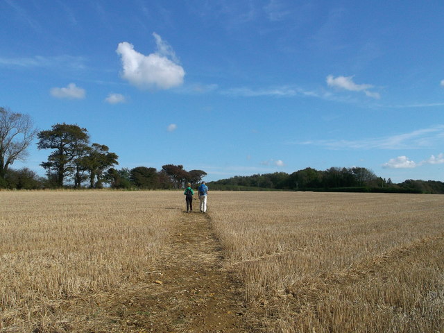
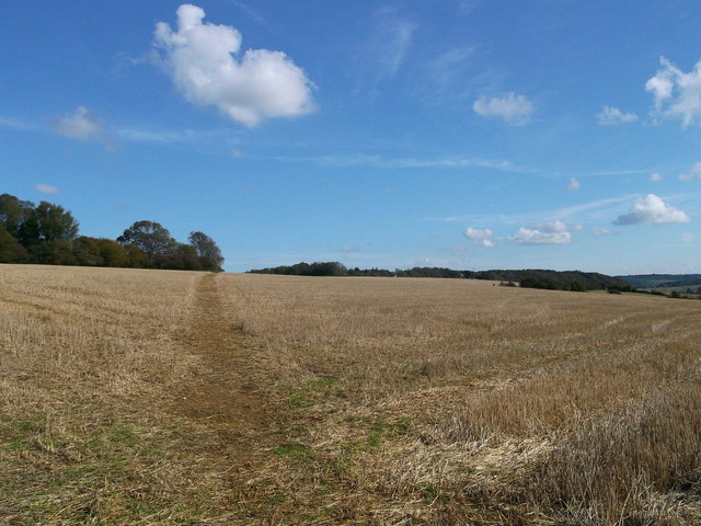
Monks Horton is a civil parish located in the county of Kent, in the southeastern part of England. Situated near the town of Hythe, it encompasses a small rural area of approximately 3 square miles. The parish is part of the Shepway district and is surrounded by picturesque countryside, with rolling hills and fields dominating the landscape.
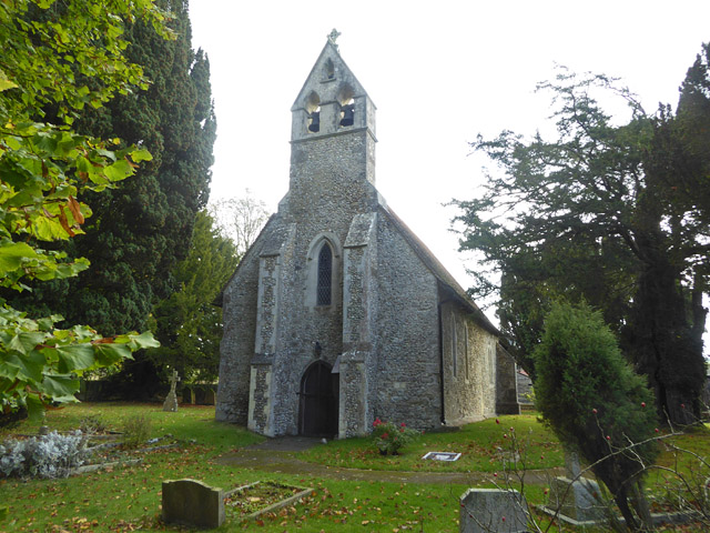
The population of Monks Horton is relatively small, with only a few hundred residents calling it home. The parish is primarily residential, with a scattering of farms and agricultural land. The architecture in the area is predominantly traditional, with charming cottages and period houses dotting the village.
Despite its small size, Monks Horton boasts a rich history. The name "Monks Horton" is believed to have originated from the presence of a medieval monastery that once stood in the area. The village also played a role in the English Civil War, with skirmishes occurring nearby.
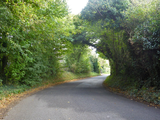
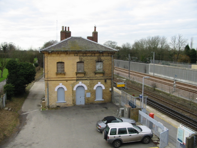
The parish is well-connected to neighboring towns and cities, with good road links and public transportation options available. It offers a peaceful and tranquil environment, ideal for those seeking a rural lifestyle away from the hustle and bustle of larger urban centers.
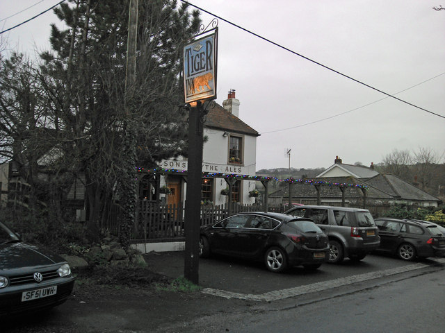
In terms of amenities, Monks Horton has limited facilities, with no shops or schools within the parish boundaries. However, residents have easy access to nearby towns where they can find all the necessary services and amenities.
Overall, Monks Horton is a charming and idyllic civil parish, offering a quiet and rural lifestyle in the heart of the Kent countryside.
If you have any feedback on the listing, please let us know in the comments section below.
Monks Horton Images
Images are sourced within 2km of 51.119689/1.030984 or Grid Reference TR1239. Thanks to Geograph Open Source API. All images are credited.


Monks Horton is located at Grid Ref: TR1239 (Lat: 51.119689, Lng: 1.030984)
Administrative County: Kent
District: Folkestone and Hythe
Police Authority: Kent
What 3 Words
///confident.assorted.trombone. Near Lyminge, Kent
Nearby Locations
Related Wikis

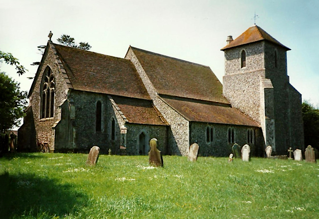
Monks Horton
Monks Horton is a small civil parish in the Folkestone and Hythe district of Kent, England. It is located 3 miles (5 km) north of Hythe. Within the civil...
Stowting
Stowting is a village and civil parish in the English county of Kent. It is 6 miles (9.7 km) east of Ashford, 7 miles (11 km) north-west of Folkestone...
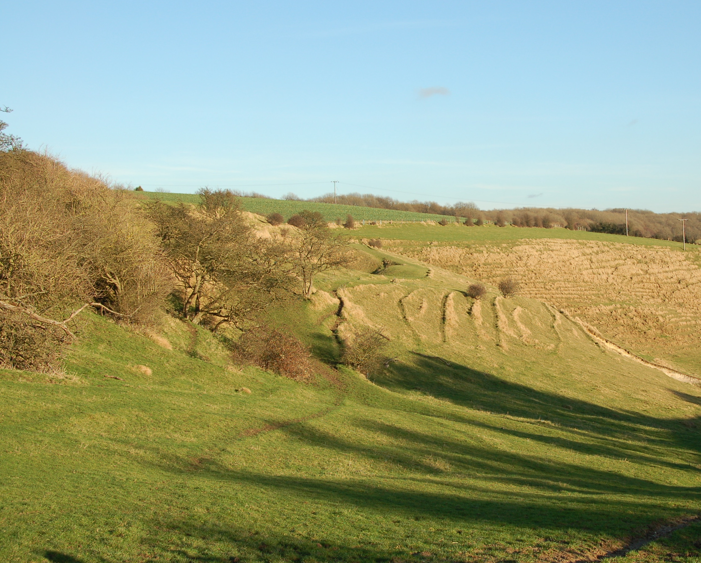
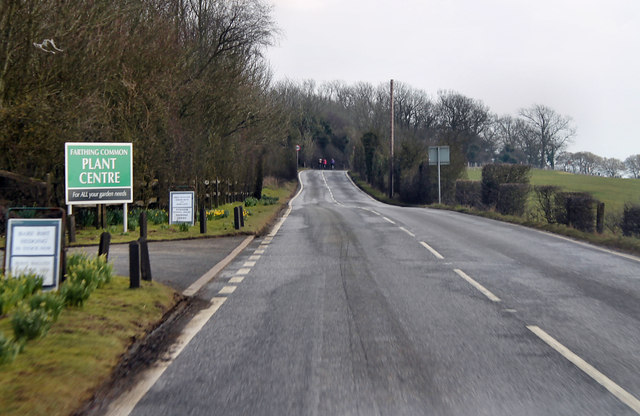
Farthing Common
Farthing Common is an area of common land about 10 km northwest of Folkestone in East Kent. It is one of the highest points of the North Downs at 185 metres...
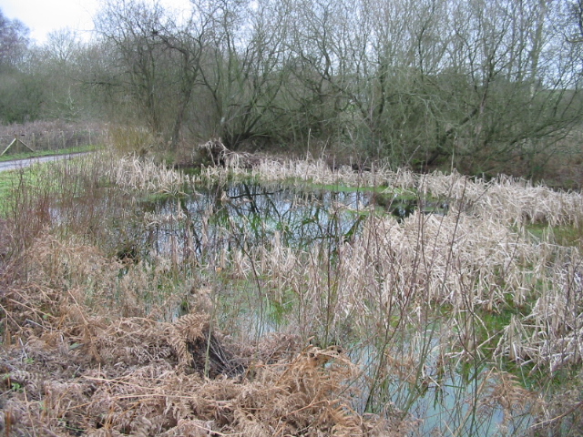
Gibbin's Brook
Gibbin's Brook is a 16.8-hectare (42-acre) biological Site of Special Scientific Interest in Sellindge in Kent.This site is mainly marshy grassland, but...

Stanford, Kent
Stanford is a village and civil parish in Kent, England. It is part of the Folkestone and Hythe district. The village developed along the ancient Roman...

Stanford Windmill
Stanford Windmill is a Grade II* listed tower mill in Stanford, Kent, England that was built in 1857. It stands on Kennett Lane in Stanford. == History... ==

Postling
Postling is a village and civil parish situated near the Roman road of Stone Street, about 17 miles (27 km) south of Canterbury, Kent, in South East England...
Westenhanger railway station
Westenhanger railway station is on the South Eastern Main Line in England, serving the villages of Westenhanger and Stanford, and was near the now-closed...
Nearby Amenities
Located within 500m of 51.119689,1.030984Have you been to Monks Horton?
Leave your review of Monks Horton below (or comments, questions and feedback).