Pockthorpe
Settlement in Norfolk South Norfolk
England
Pockthorpe
Pockthorpe is a small village located in the county of Norfolk, England. Situated about 2 miles north of the city of Norwich, it is part of the Norwich City Council area. Pockthorpe is bordered by the neighborhoods of Colegate and Heigham, and is surrounded by a mixture of residential and industrial areas.
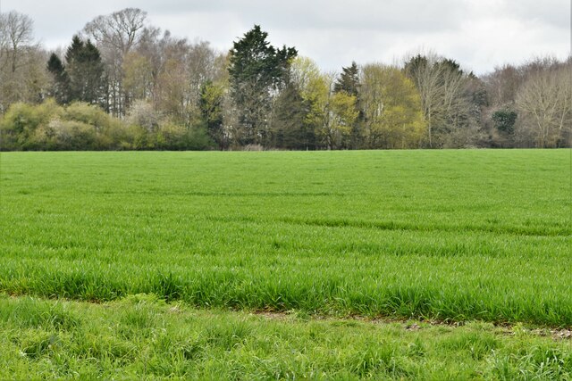
The village has a long history, with records dating back to the Domesday Book in 1086. In the past, Pockthorpe was primarily an agricultural community, but with the growth of Norwich, it has seen some industrial development. However, it has managed to retain its village-like charm.
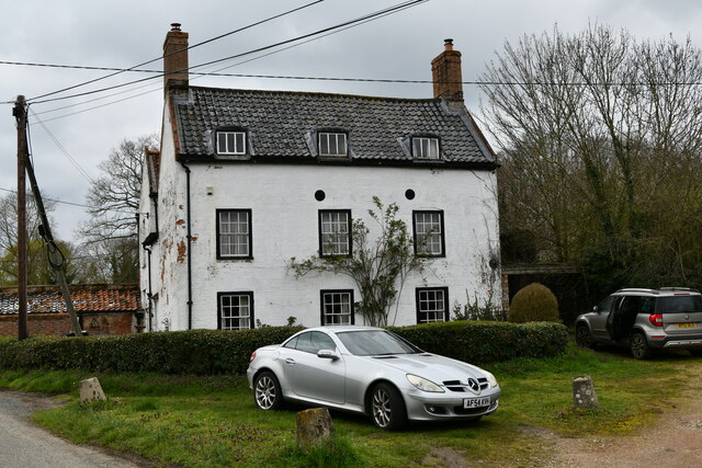
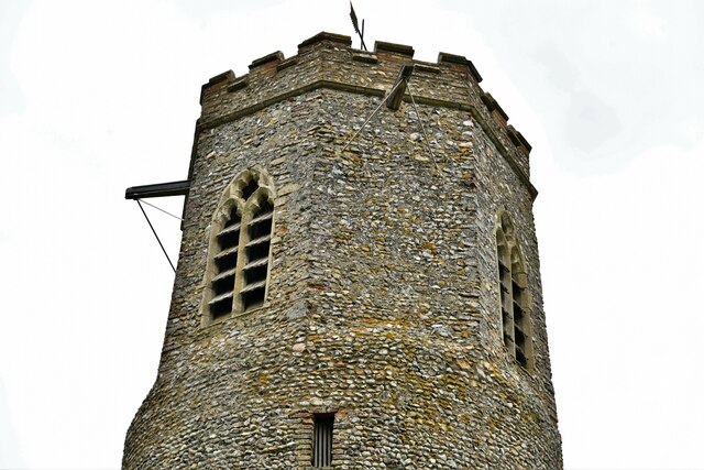
Pockthorpe is known for its attractive traditional architecture, with a mix of historic cottages and more modern houses. The village is also home to a number of small businesses and local amenities, including a convenience store, a primary school, and a community center.
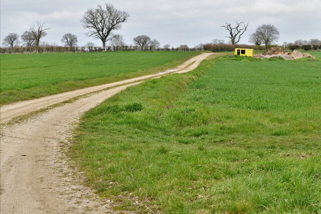
Nature lovers will appreciate the nearby Mousehold Heath, a popular recreational area that offers scenic walks and stunning views of the city. Pockthorpe also benefits from its proximity to Norwich, allowing residents to easily access a wider range of amenities, including shopping centers, restaurants, and cultural attractions.
Overall, Pockthorpe offers a peaceful and friendly environment, making it an attractive place to live for those seeking a balance between rural tranquility and urban convenience.
If you have any feedback on the listing, please let us know in the comments section below.
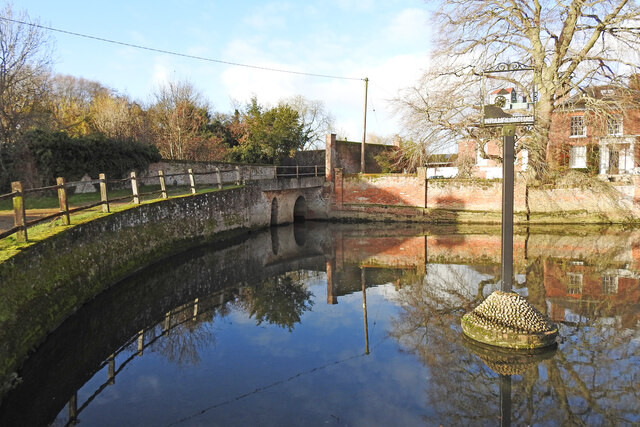
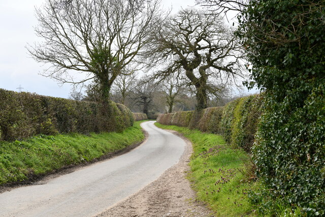
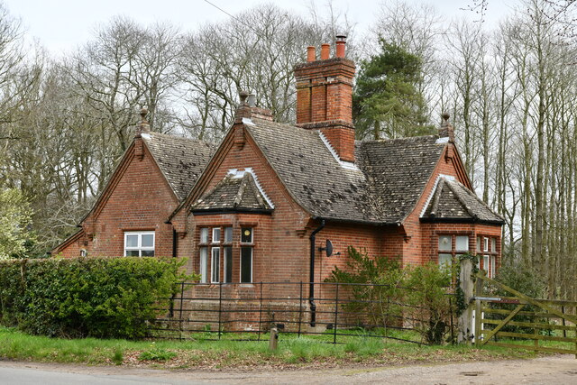
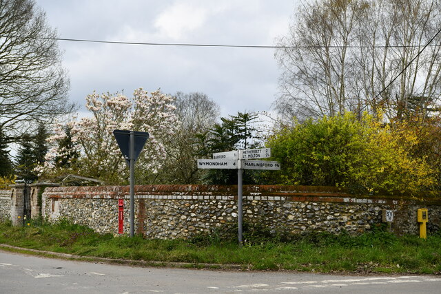
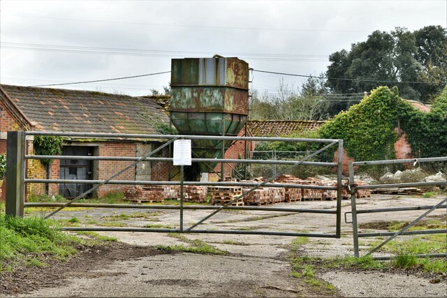
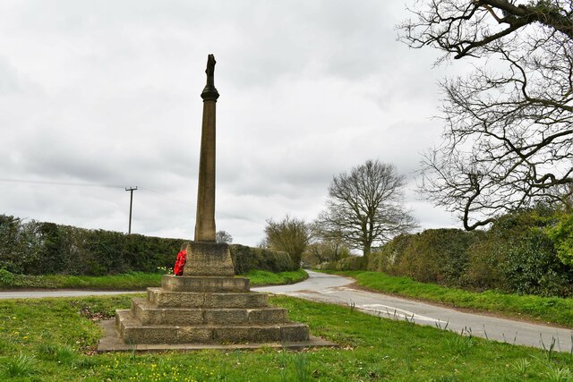
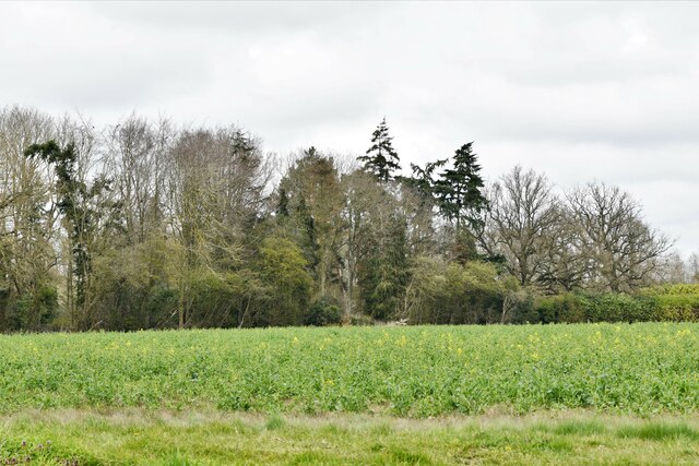
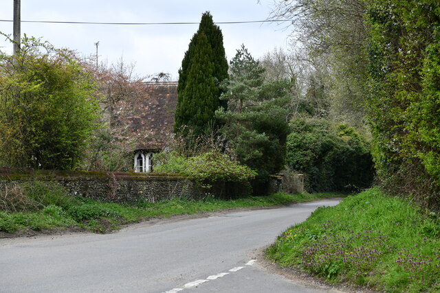
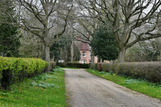
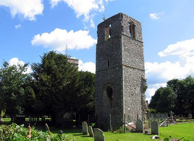
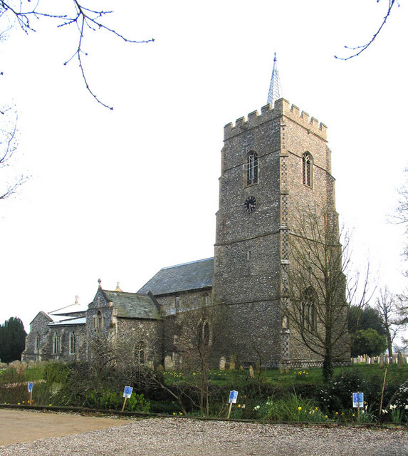
Pockthorpe Images
Images are sourced within 2km of 52.611687/1.1399296 or Grid Reference TG1206. Thanks to Geograph Open Source API. All images are credited.

Pockthorpe is located at Grid Ref: TG1206 (Lat: 52.611687, Lng: 1.1399296)
Administrative County: Norfolk
District: South Norfolk
Police Authority: Norfolk
What 3 Words
///saucepan.observers.treatment. Near Hethersett, Norfolk
Nearby Locations
Related Wikis
Great Melton
Great Melton is a civil parish in the English county of Norfolk. It covers an area of 10.24 km2 (3.95 sq mi) and had a population of 148 in 59 households...

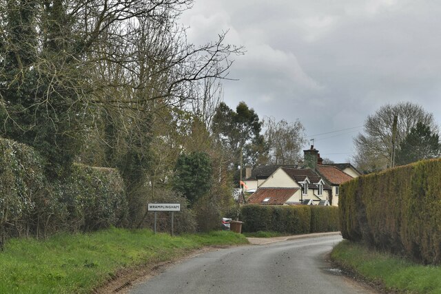
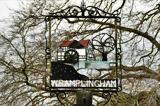
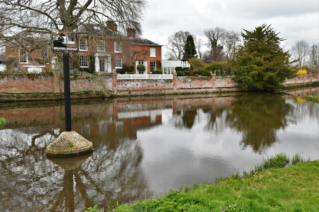
Wramplingham
Wramplingham is a village and civil parish in the English county of Norfolk. It is situated on the River Tiffey some 4 miles (6.4 km) north of Wymondham...

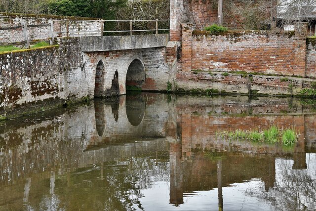
River Tiffey
The River Tiffey is a small river in Norfolk, England and a tributary of the River Yare. It rises near Hethel and passes through Wymondham before flowing...

Barford, Norfolk
Barford is a village and civil parish in the English county of Norfolk, situated some 4 miles (6 km) north of Wymondham and 8 miles (13 km) west of Norwich...

Kett's Oak
Kett's Oak is one of the 50 Great British Trees. The ancient oak tree (Quercus robur) is located at the side of the B1172 road between Wymondham and Hethersett...
Hethersett
Hethersett is a large village and electoral ward in the county of Norfolk, England, about 6 miles (10 km) south-west of Norwich. It covers an area of 4...

Marlingford
Marlingford is a village and former civil parish, 6 miles (9.7 km) west of Norwich, now in the parish of Marlingford and Colton, in the South Norfolk district...

Hethersett Old Hall School
Hethersett Old Hall School was an independent school located in Hethersett, Norfolk, England that educated around 180 boys and girls. It was a day school...
Nearby Amenities
Located within 500m of 52.611687,1.1399296Have you been to Pockthorpe?
Leave your review of Pockthorpe below (or comments, questions and feedback).