Pockthorpe
Settlement in Yorkshire
England
Pockthorpe
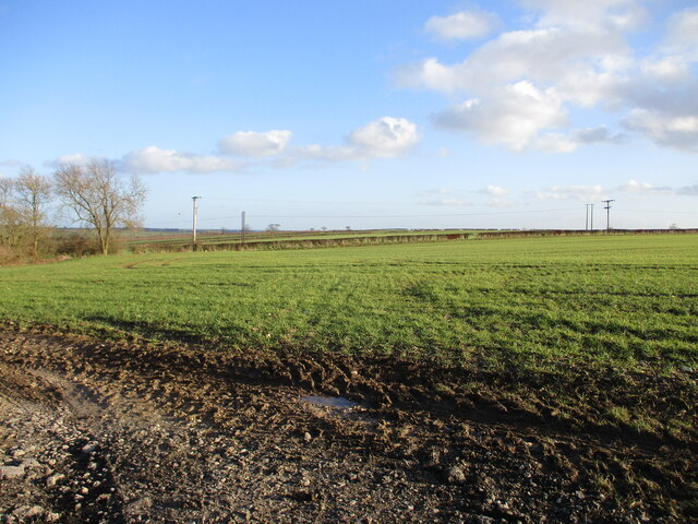
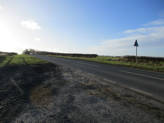
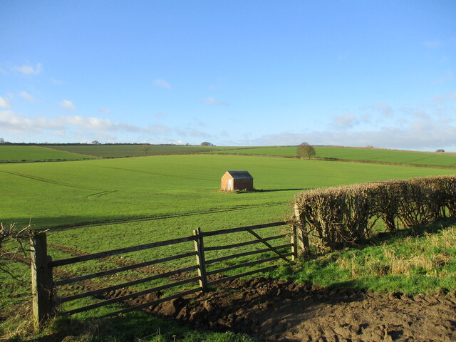
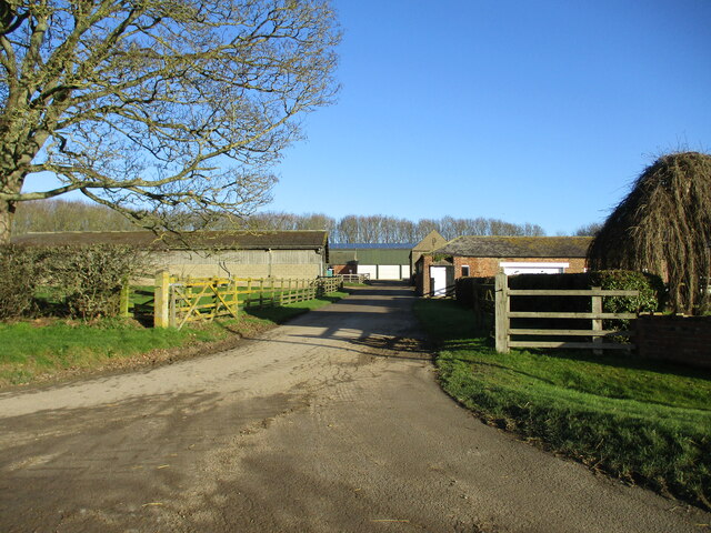
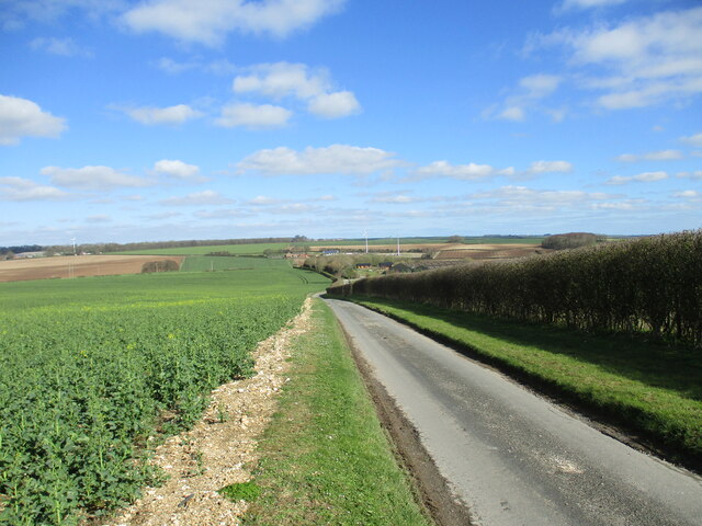
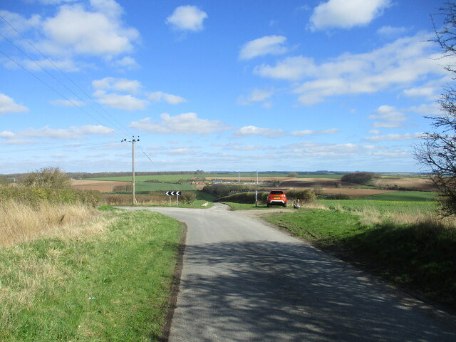
Pockthorpe is a small village located in the county of Yorkshire, England. Situated in the picturesque countryside, it is surrounded by rolling hills and farmland, offering stunning views and a tranquil atmosphere. The village is nestled within the larger district of North Yorkshire, known for its natural beauty and rich history.
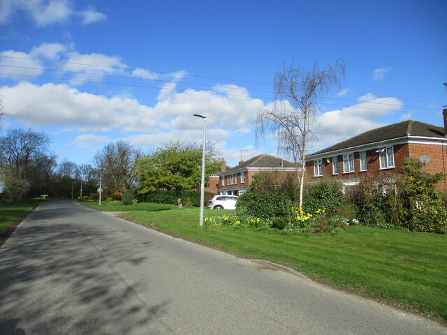
With a population of around 500 residents, Pockthorpe is a close-knit community that prides itself on its friendly and welcoming nature. The village is predominantly residential, with traditional stone houses and cottages lining its quaint streets. It retains a charming rural character, with well-maintained gardens and flower-filled hanging baskets adding to its charm.
Pockthorpe is home to a few amenities that cater to the needs of its residents. These include a local pub, a village hall, and a small convenience store. While it may not have a wide range of facilities, the village benefits from its proximity to larger towns and cities in the region, making it an ideal location for those seeking a peaceful rural lifestyle within reach of urban conveniences.
The surrounding countryside offers numerous opportunities for outdoor activities, such as hiking, cycling, and horse riding. Pockthorpe is also within driving distance of the North York Moors National Park, providing residents with access to stunning landscapes and wildlife.
Overall, Pockthorpe is a charming and idyllic village, offering a tranquil lifestyle amidst the beauty of the Yorkshire countryside, while still benefiting from its proximity to larger towns and natural attractions.
If you have any feedback on the listing, please let us know in the comments section below.
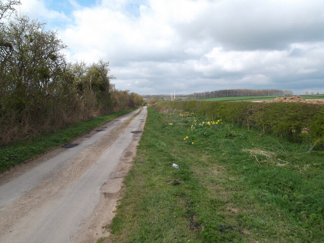
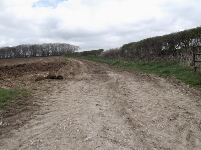
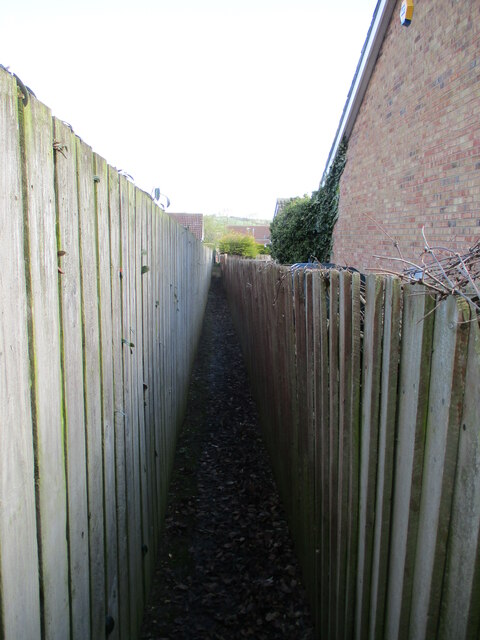
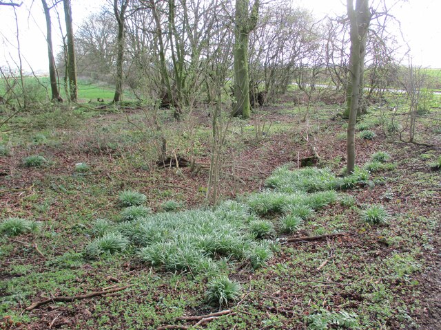
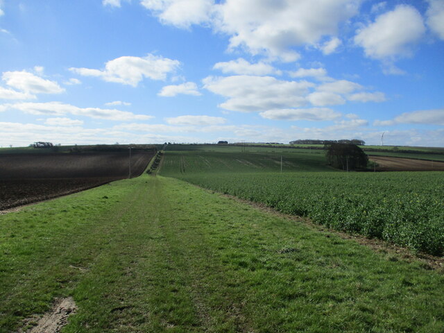
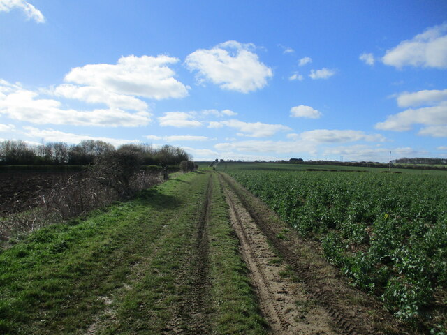
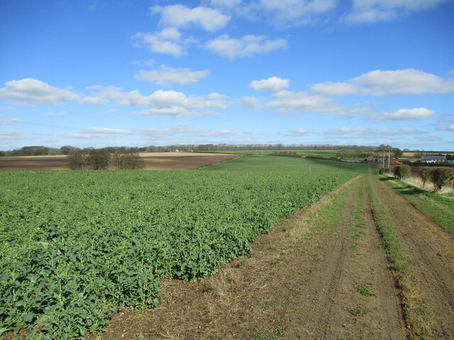
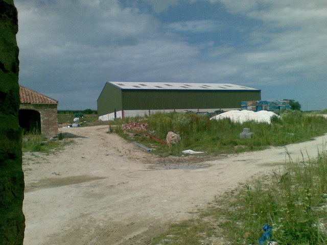
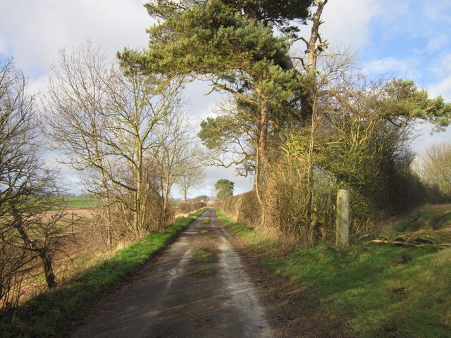
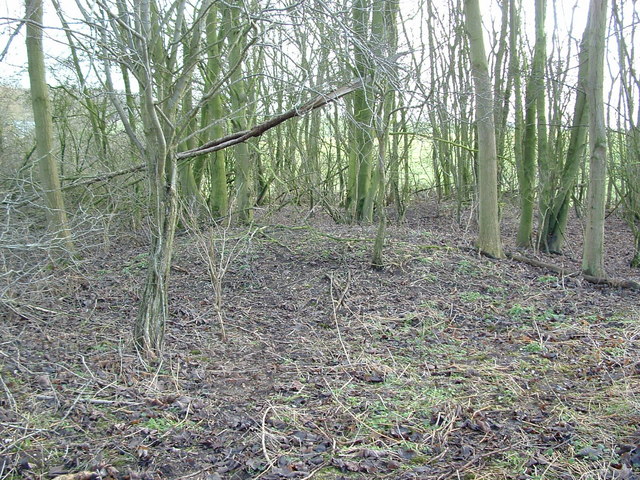
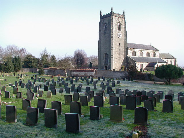
Pockthorpe Images
Images are sourced within 2km of 54.054413/-0.40844827 or Grid Reference TA0463. Thanks to Geograph Open Source API. All images are credited.
Pockthorpe is located at Grid Ref: TA0463 (Lat: 54.054413, Lng: -0.40844827)
Division: East Riding
Unitary Authority: East Riding of Yorkshire
Police Authority: Humberside
What 3 Words
///notion.revealing.else. Near Kilham, East Yorkshire
Nearby Locations
Related Wikis

Kilham, East Riding of Yorkshire
Kilham is a village and civil parish in the East Riding of Yorkshire, England. It is situated about 5 miles (8 km) north-east of Driffield town centre...
Danes Graves
Danes Graves is an archaeological site in the East Riding of Yorkshire. It forms part of the Arras Culture of inhumation and chariot burial prevalent in...

Ruston Parva
Ruston Parva is a hamlet and former civil parish, now in the parish of Harpham, in the East Riding of Yorkshire, England. It is situated approximately...
Nafferton
Nafferton is a village and civil parish in the East Riding of Yorkshire, England. It is situated approximately 2 miles (3.2 km) north-east of Driffield...

Dickering Wapentake
Dickering was a wapentake (which is an administrative division) of the historic East Riding of Yorkshire in England, consisting of the north-east part...

East Yorkshire (district)
The Borough of East Yorkshire was one of nine local government districts of the county of Humberside, England, from 1 April 1974 to 1 April 1996. The district...

East Yorkshire (UK Parliament constituency)
East Yorkshire is a county constituency for the House of Commons of the Parliament of the United Kingdom. It elects one Member of Parliament (MP) at least...

Driffield Rural District
Driffield was a rural district in the East Riding of Yorkshire in England from 1894 to 1974. It surrounded the municipal borough of Driffield. The district...
Nearby Amenities
Located within 500m of 54.054413,-0.40844827Have you been to Pockthorpe?
Leave your review of Pockthorpe below (or comments, questions and feedback).