North Plantation

Wood, Forest in Yorkshire

England

North Plantation

Arable  fields  planted  with  overwintering  crop south  of  Kilham Just showing to the left is the edge of the overgrown disused pit
Arable fields planted with overwintering crop south of Kilham Credit: Martin Dawes

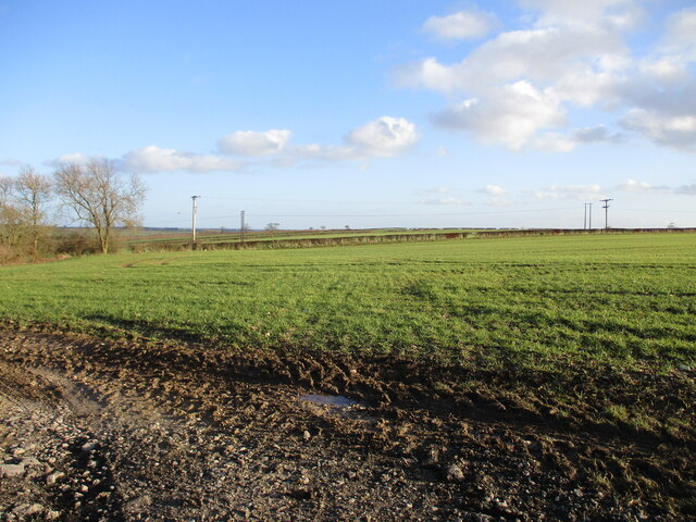
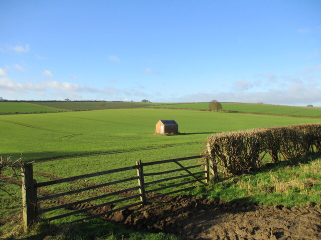
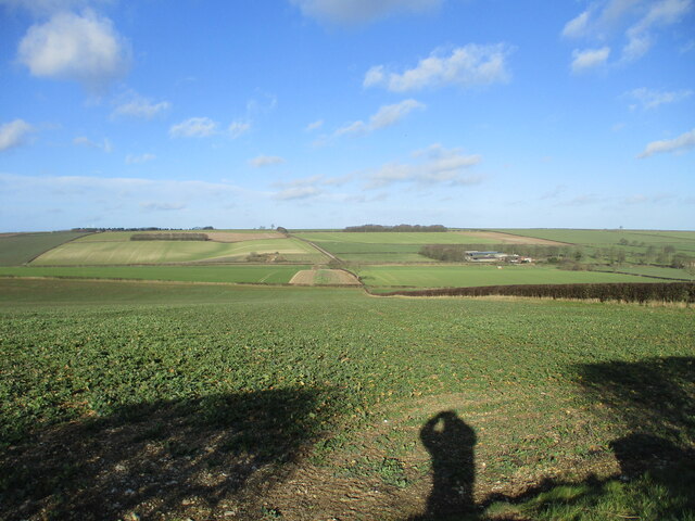
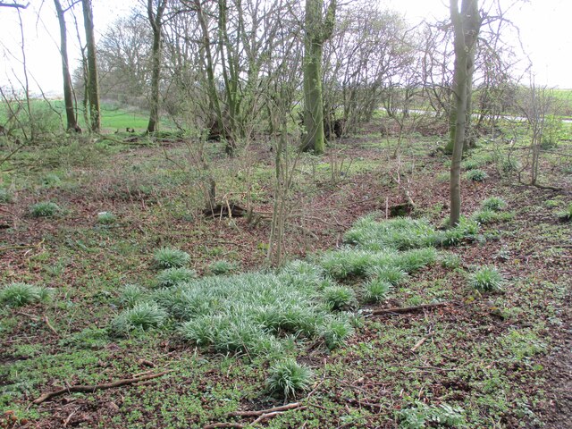
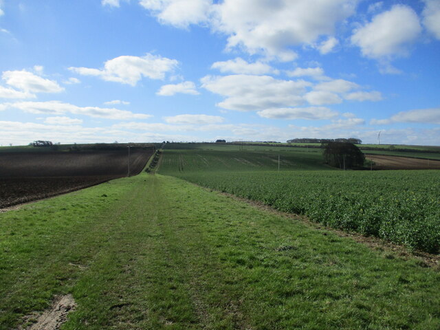
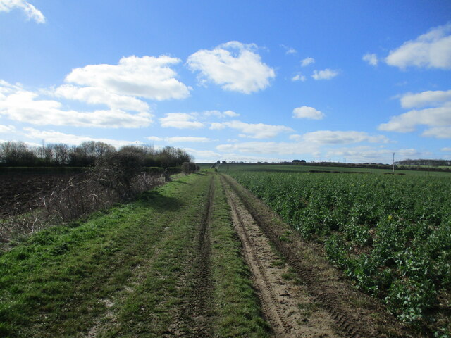
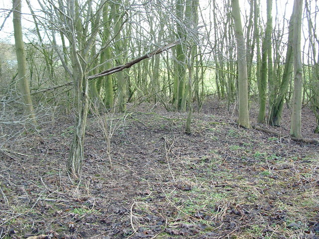
North Plantation is a picturesque woodland area located in Yorkshire, England. Situated in the northern part of the county, it covers a vast expanse of land, making it an ideal destination for nature enthusiasts and outdoor lovers. The plantation is known for its dense forest, which is made up of a variety of tree species, including oak, beech, and pine.

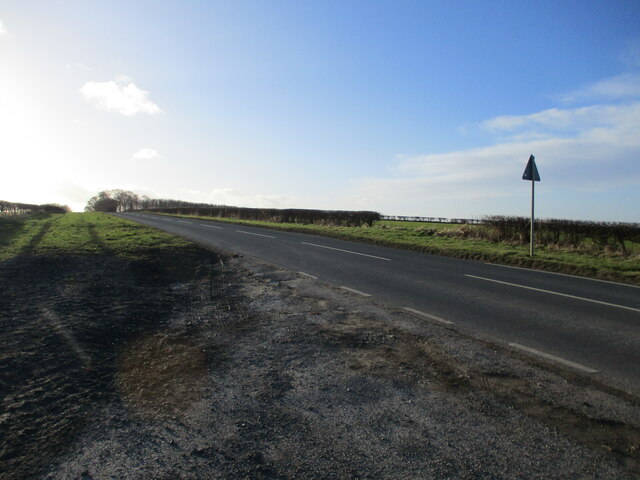
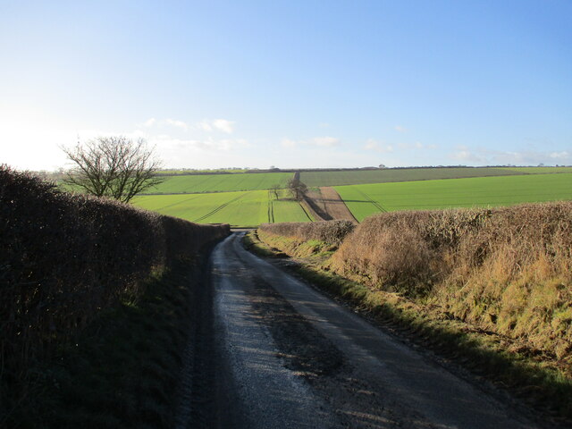
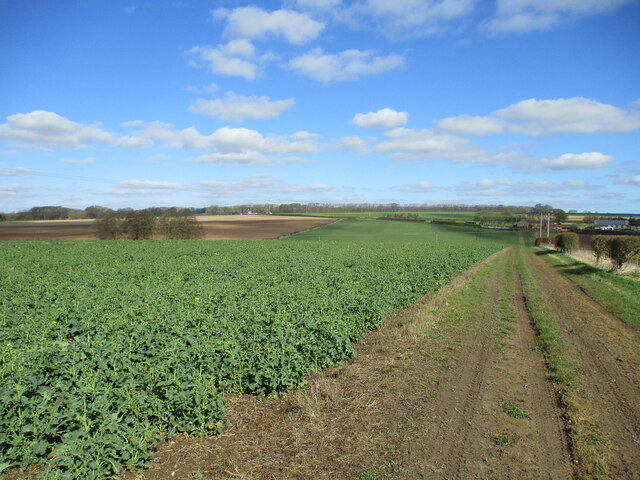
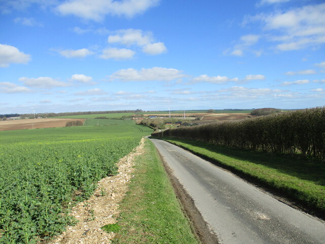
The woodland offers a tranquil escape from the hustle and bustle of city life, providing visitors with a peaceful and serene environment. It is a popular spot for walking, hiking, and cycling, with well-maintained trails that meander through the trees, providing stunning views of the surrounding countryside.

North Plantation is home to a diverse range of flora and fauna, making it a haven for wildlife. Birdwatchers will delight in the opportunity to spot a variety of bird species, including woodpeckers, owls, and a wide array of songbirds. The woodland is also inhabited by various mammals, such as deer, squirrels, and foxes.

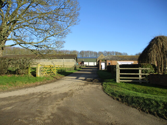
In addition to its natural beauty, North Plantation offers several amenities for visitors. There are picnic areas scattered throughout the forest, providing the perfect spot for a leisurely lunch amidst the stunning scenery. The plantation also has a visitor center, where guests can learn about the history and ecology of the area.

Overall, North Plantation is a haven of natural beauty and tranquility. Its lush forest, diverse wildlife, and well-maintained trails make it a fantastic destination for those seeking to immerse themselves in the wonders of nature.

If you have any feedback on the listing, please let us know in the comments section below.

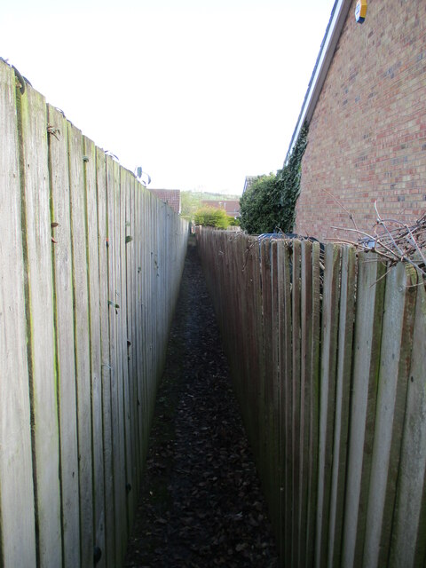
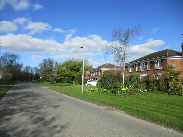
North Plantation Images

Images are sourced within 2km of 54.05993/-0.40961248 or Grid Reference TA0463. Thanks to Geograph Open Source API. All images are credited.

Arable  fields  planted  with  overwintering  crop south  of  Kilham Just showing to the left is the edge of the overgrown disused pit
Arable fields planted with overwintering crop south of Kilham
Just showing to the left is the edge of the overgrown disused pit
Road  from  Kilham  toward  B1249  at  Kendale
Road from Kilham toward B1249 at Kendale
Planning  Notice  for  Bay  Horse  Inn.  Middle  Street  Kilham Disused Public House conversion
Planning Notice for Bay Horse Inn. Middle Street Kilham
Disused Public House conversion
The  Bay  Horse  Inn  converting  to  housing At the junction of Middle Street and Chapel Lane it is being converted into 3 dwellings
The Bay Horse Inn converting to housing
At the junction of Middle Street and Chapel Lane it is being converted into 3 dwellings
Brick  built  barn? in  field  off  Kilham  Road Not sure of its use as no access to it through crop
Brick built barn? in field off Kilham Road
Not sure of its use as no access to it through crop
Farm  access  at  Middledale  off  Kilham  Road
Farm access at Middledale off Kilham Road
Sheep  Rake  Lane  looking  down  to  Kilham  Road  junction A sweeping view over Middle Dale
Sheep Rake Lane looking down to Kilham Road junction
A sweeping view over Middle Dale
View  over  Middle  Dale  in  February  sunshine The farm middle right is Middledale with Kilham Road running left to right in front of it
View over Middle Dale in February sunshine
The farm middle right is Middledale with Kilham Road running left to right in front of it
Some  footpaths  become  a  little  tight  when  a  fence  leans Running between West End and South Side
Some footpaths become a little tight when a fence leans
Running between West End and South Side
High  Farm  Kilham.  A  building  site  behind  ? The farmhouse is looking rundown compared with Jonathan Thacker's photo from 2018
High Farm Kilham. A building site behind ?
The farmhouse is looking rundown compared with Jonathan Thacker's photo from 2018
Detached  houses  on  the  north  side  of  South  Side
Detached houses on the north side of South Side
End  of  North  Plantation  on  Gallows  Hill The road beyond goes left to Kilham. Large clumps of Snowdrops have now finished flowering
End of North Plantation on Gallows Hill
The road beyond goes left to Kilham. Large clumps of Snowdrops have now finished flowering
Green  dotty  toward  Nafferton  Wold Between Pockthorpe Lane and Green Dikes Lane
Green dotty toward Nafferton Wold
Between Pockthorpe Lane and Green Dikes Lane
Green  dotted  track  toward  Nafferton  Kesters Beyond the shelter belt of trees on the left is Nafferton Kesters a mid to late c18 farmhouse
Green dotted track toward Nafferton Kesters
Beyond the shelter belt of trees on the left is Nafferton Kesters a mid to late c18 farmhouse
Green  dotted  track  toward  Little  Pockthorpe The oil seed rape is just coming into flower, it won't  be long before it is a sea of yellow and Geograph will be overwhelmed with photos!
Green dotted track toward Little Pockthorpe
The oil seed rape is just coming into flower, it won't be long before it is a sea of yellow and Geograph will be overwhelmed with photos!
Access  road  down  to  Nafferton  Kesters It becomes a green dotted  grass track when it passes the farm
Access road down to Nafferton Kesters
It becomes a green dotted grass track when it passes the farm
Little Pockthorpe, Pockthorpe Lane
Pockthorpe Lane near Little Pockthorpe Farm
Show me another place!

North Plantation is located at Grid Ref: TA0463 (Lat: 54.05993, Lng: -0.40961248)

Division: East Riding

Unitary Authority: East Riding of Yorkshire

Police Authority: Humberside

What 3 Words

///cloud.belief.filed. Near Kilham, East Yorkshire

Related Wikis

Kilham, East Riding of Yorkshire

Kilham is a village and civil parish in the East Riding of Yorkshire, England. It is situated about 5 miles (8 km) north-east of Driffield town centre...

Danes Graves

Danes Graves is an archaeological site in the East Riding of Yorkshire. It forms part of the Arras Culture of inhumation and chariot burial prevalent in...

Ruston Parva

Ruston Parva is a hamlet and former civil parish, now in the parish of Harpham, in the East Riding of Yorkshire, England. It is situated approximately...

Dickering Wapentake

Dickering was a wapentake (which is an administrative division) of the historic East Riding of Yorkshire in England, consisting of the north-east part...

Nearby Amenities

Located within 500m of 54.05993,-0.40961248
Natural: wood
Lat/Long: 54.0561701/-0.4127519
Generator Method: wind_turbine
Generator Source: wind
Power: generator
Lat/Long: 54.0576793/-0.4104512
The data included in this document is from www.openstreetmap.org. The data is made available under ODbL.

Have you been to North Plantation?

Leave your review of North Plantation below (or comments, questions and feedback).