Little Bookerslee Copse
Wood, Forest in Surrey Waverley
England
Little Bookerslee Copse

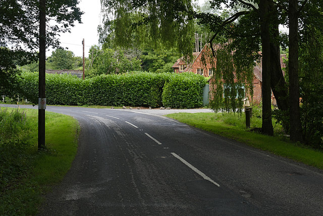
Little Bookerslee Copse is a charming woodland area located in Surrey, England. Nestled amidst the picturesque countryside, this copse is a haven for nature enthusiasts and those seeking tranquility away from the bustling city life. Covering an area of approximately 10 acres, it is a part of the larger Surrey Hills Area of Outstanding Natural Beauty.
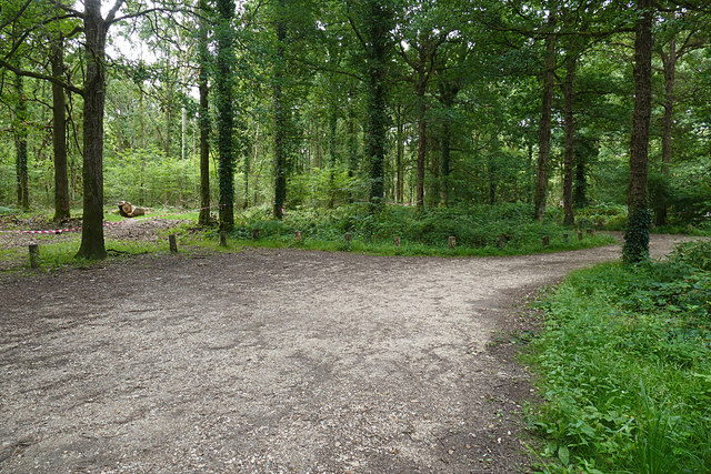
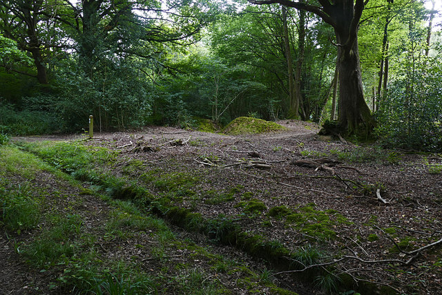
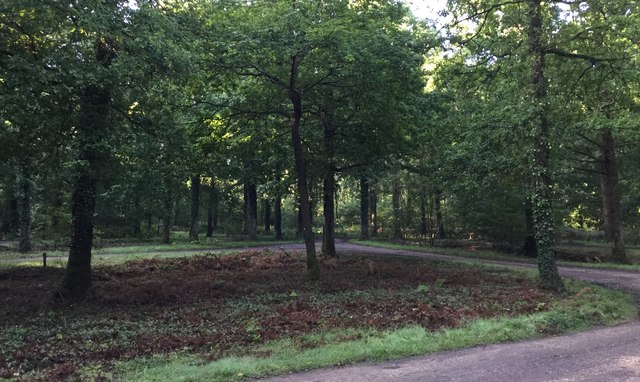
The copse is predominantly composed of deciduous trees, such as oak, beech, and ash, which provide a stunning canopy during the spring and summer months. These trees also offer a vibrant display of colors during the autumn season, attracting visitors from far and wide. The woodland floor is adorned with a variety of wildflowers, including bluebells, primroses, and foxgloves, creating a picturesque scene.
Little Bookerslee Copse is home to a diverse range of wildlife. Visitors may spot various species of birds, such as woodpeckers, tits, and thrushes, flitting among the branches. Squirrels are a common sight, darting around and foraging for food. The copse is also known for its population of deer, which can occasionally be glimpsed grazing in the early morning or evening hours.
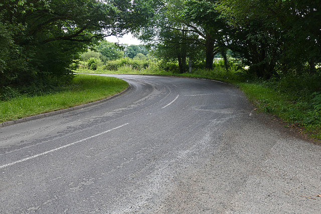
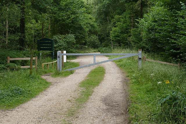
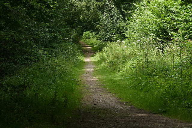
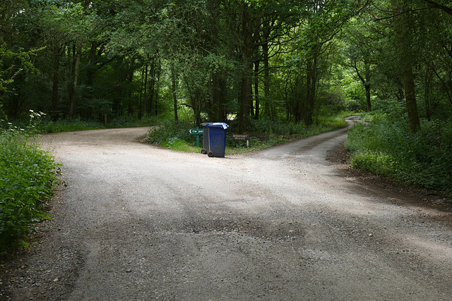
The copse features several well-maintained trails, allowing visitors to explore the woodland at their leisure. These paths wind through the trees, offering stunning views of the surrounding countryside. Visitors can also enjoy a picnic in one of the designated areas or simply relax and soak in the peaceful atmosphere.
Little Bookerslee Copse is a true gem of Surrey, offering a delightful escape into nature's embrace. Its natural beauty, diverse wildlife, and tranquil ambiance make it a popular destination for both locals and tourists alike.
If you have any feedback on the listing, please let us know in the comments section below.
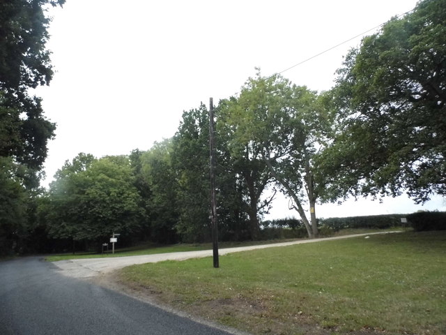
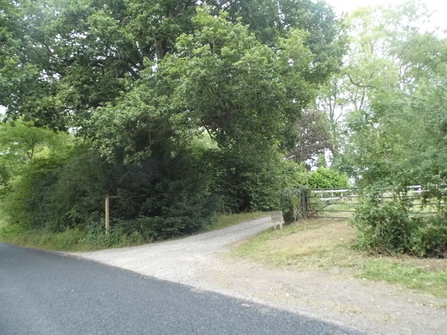
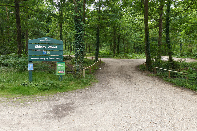
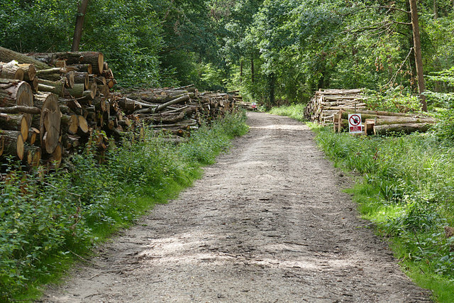
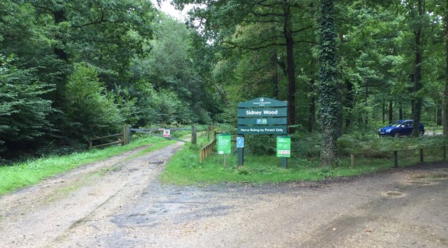
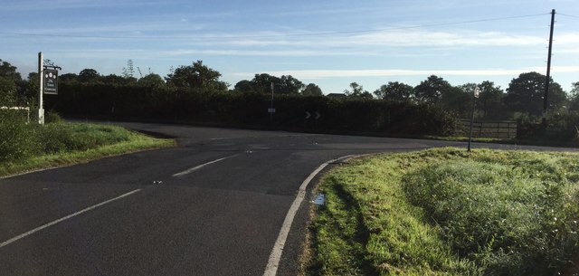
Little Bookerslee Copse Images
Images are sourced within 2km of 51.113893/-0.51282279 or Grid Reference TQ0436. Thanks to Geograph Open Source API. All images are credited.


Little Bookerslee Copse is located at Grid Ref: TQ0436 (Lat: 51.113893, Lng: -0.51282279)
Administrative County: Surrey
District: Waverley
Police Authority: Surrey
What 3 Words
///reseller.additives.kicks. Near Cranleigh, Surrey
Nearby Locations
Related Wikis

London to Portsmouth canal
The London to Portsmouth canal was a concept for the construction of a secure inland canal route from the British capital of London to the headquarters...

Wey and Arun Canal
The Wey and Arun Canal is a partially open, 23-mile-long (37 km) canal in the southeast of England. It runs southwards from the River Wey at Gunsmouth...

Alfold F.C.
Alfold Football Club is a football club based in Alfold, Surrey, England. They are currently members of the Southern Combination Division One and play...

Dunsfold Aerodrome
Dunsfold Aerodrome (former ICAO code EGTD) is an unlicensed airfield in Surrey, England, near the village of Cranleigh. It extends across land in the villages...

Top Gear test track
The Top Gear test track is used by the BBC automotive television programme Top Gear. It is located at Dunsfold Aerodrome in Surrey, United Kingdom. The...

Alfold
Alfold is a village and civil parish in Surrey, England on the West Sussex border. Alfold is a dispersed or polyfocal village in the Green Belt, which...

Fir Tree Copse
Fir Tree Copse is a 6-hectare (15-acre) nature reserve south-east of Dunsfold in Surrey. It is managed by the Surrey Wildlife Trust and is part of the...

Rikkyo School in England
Rikkyo School in England (立教英国学院, Rikkyō Eikoku Gakuin) is a Japanese boarding primary and secondary school in Rudgwick, Horsham District, West Sussex...
Nearby Amenities
Located within 500m of 51.113893,-0.51282279Have you been to Little Bookerslee Copse?
Leave your review of Little Bookerslee Copse below (or comments, questions and feedback).