River Plantation
Wood, Forest in Norfolk South Norfolk
England
River Plantation
River Plantation is a scenic residential neighborhood located in Norfolk, Virginia. Situated on the banks of the Lafayette River, the community is known for its lush woodlands and picturesque forested areas. With its tranquil setting, River Plantation offers residents a serene and peaceful living environment.
The neighborhood features a variety of housing options, including single-family homes and townhouses, with many properties boasting views of the river or access to private docks. The architecture in River Plantation is diverse, ranging from traditional colonial-style homes to modern contemporary designs.
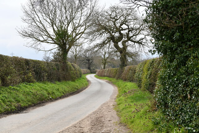
One of the standout features of River Plantation is its abundant natural beauty. The area is characterized by dense forests, with towering trees providing shade and creating a sense of privacy for residents. Walking trails wind through the neighborhood, offering opportunities for outdoor enthusiasts to explore the woodlands and enjoy the local flora and fauna.
In addition to its natural surroundings, River Plantation also benefits from its proximity to various amenities. The neighborhood is conveniently located near shopping centers, restaurants, and schools, making it an attractive place to live for families and individuals alike.
Overall, River Plantation in Norfolk is a desirable residential community known for its scenic woodlands, forested areas, and proximity to amenities. Its tranquil setting and natural beauty make it a beloved neighborhood for those seeking a peaceful and picturesque place to call home.
If you have any feedback on the listing, please let us know in the comments section below.
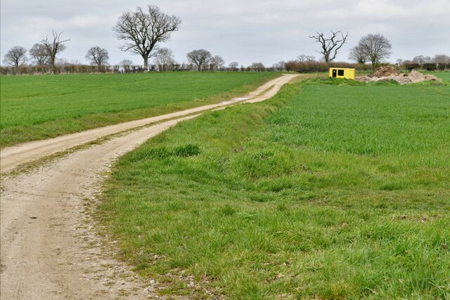
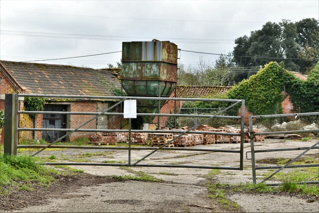
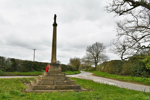
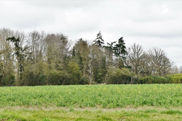
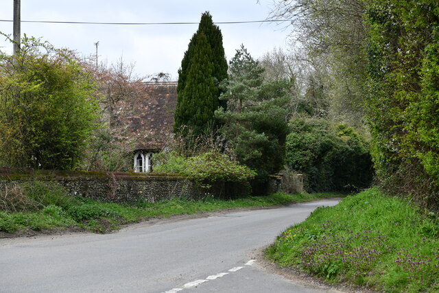
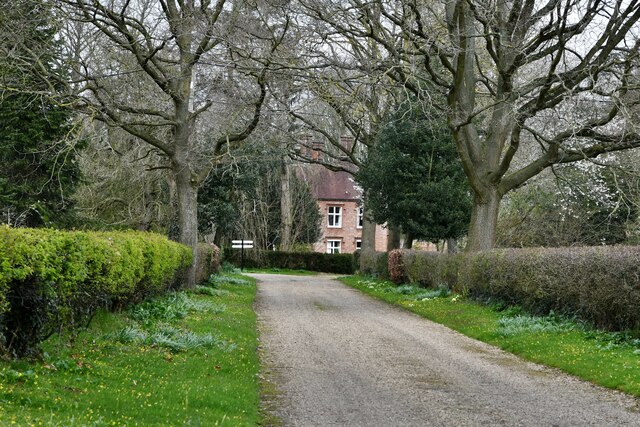
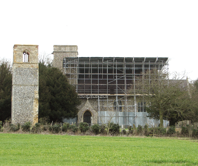
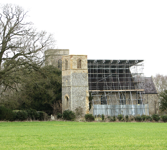
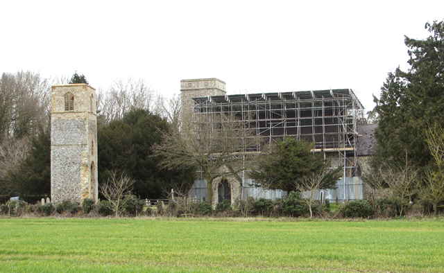
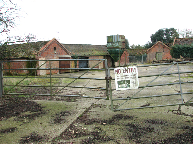
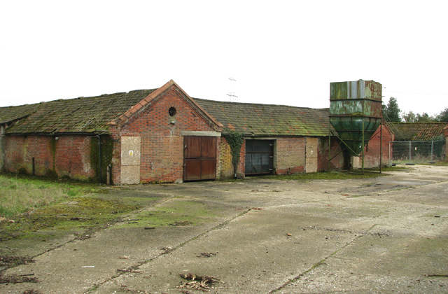
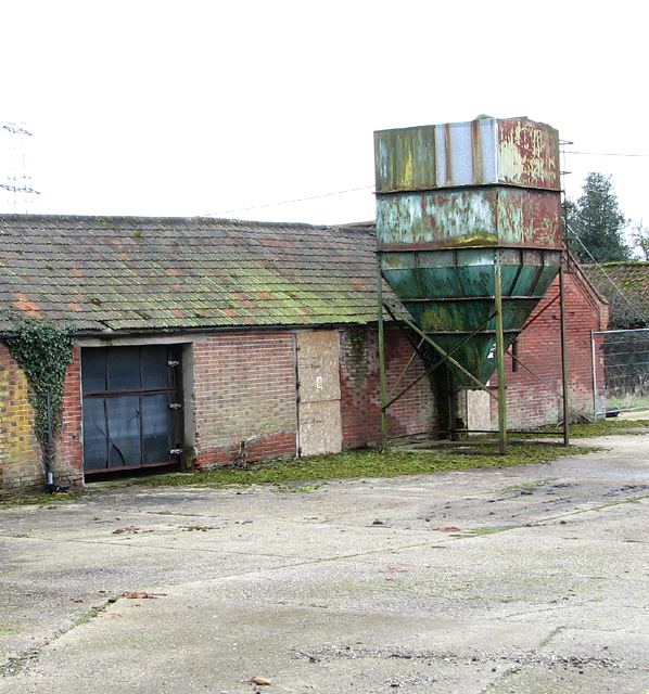
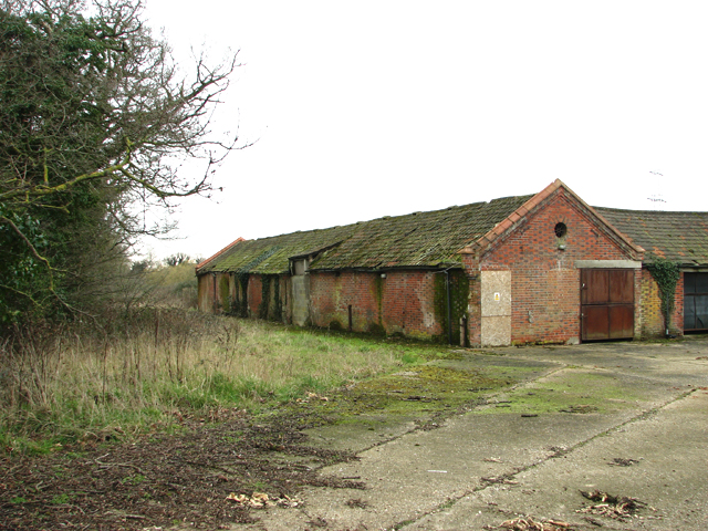
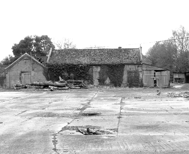
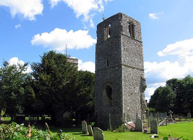
River Plantation Images
Images are sourced within 2km of 52.625915/1.1456485 or Grid Reference TG1307. Thanks to Geograph Open Source API. All images are credited.
River Plantation is located at Grid Ref: TG1307 (Lat: 52.625915, Lng: 1.1456485)
Administrative County: Norfolk
District: South Norfolk
Police Authority: Norfolk
What 3 Words
///combining.scars.chess. Near Hethersett, Norfolk
Nearby Locations
Related Wikis

River Tiffey
The River Tiffey is a small river in Norfolk, England and a tributary of the River Yare. It rises near Hethel and passes through Wymondham before flowing...

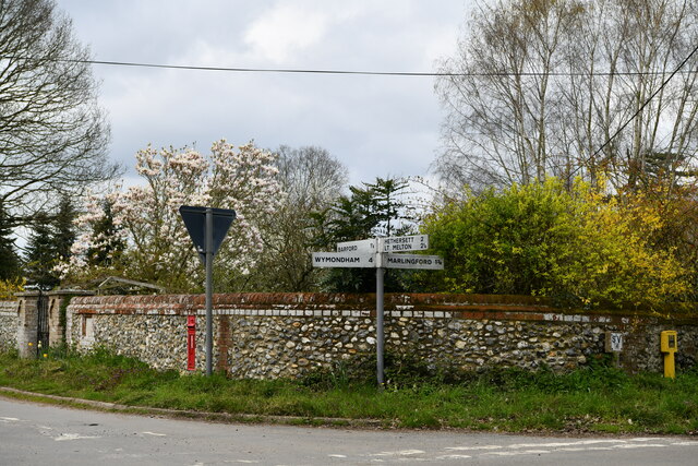
Marlingford
Marlingford is a village and former civil parish, 6 miles (9.7 km) west of Norwich, now in the parish of Marlingford and Colton, in the South Norfolk district...

Barford, Norfolk
Barford is a village and civil parish in the English county of Norfolk, situated some 4 miles (6 km) north of Wymondham and 8 miles (13 km) west of Norwich...
Marlingford and Colton
Marlingford and Colton, formerly Marlingford is a civil parish in the English county of Norfolk, made from the villages of Colton and Marlingford. It covers...
Great Melton
Great Melton is a civil parish in the English county of Norfolk. It covers an area of 10.24 km2 (3.95 sq mi) and had a population of 148 in 59 households...

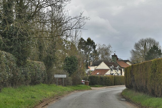
Wramplingham
Wramplingham is a village and civil parish in the English county of Norfolk. It is situated on the River Tiffey some 4 miles (6.4 km) north of Wymondham...
Easton College
Easton College is a college of further and higher education in Norfolk, United Kingdom. It is located on a 200-hectare (490-acre) campus in the village...

Bawburgh
Bawburgh () is a village and civil parish in the South Norfolk district of Norfolk, England, lying in the valley of the River Yare about 5 miles (8.0 km...
Nearby Amenities
Located within 500m of 52.625915,1.1456485Have you been to River Plantation?
Leave your review of River Plantation below (or comments, questions and feedback).