Beech Hill
Hill, Mountain in Norfolk South Norfolk
England
Beech Hill
Beech Hill is a prominent hill located in the county of Norfolk, England. Situated in the eastern part of the county, Beech Hill is known for its picturesque landscape and offers stunning panoramic views of the surrounding areas. While not classified as a mountain, Beech Hill is a notable elevated feature in an otherwise relatively flat region.
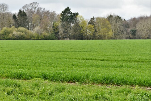
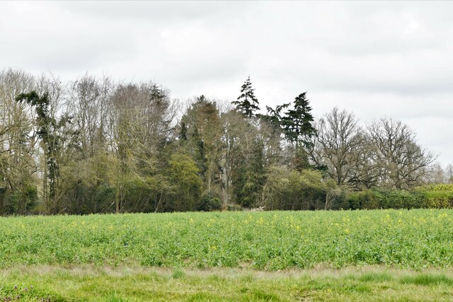
Covered in dense beech woodland, the hill stands at an elevation of approximately 100 meters (328 feet) above sea level. Its slopes are steep and clothed in a variety of vegetation, lending the area a vibrant and verdant appearance. The trees that populate the hill are primarily beech, but other species such as oak, ash, and birch can also be found.
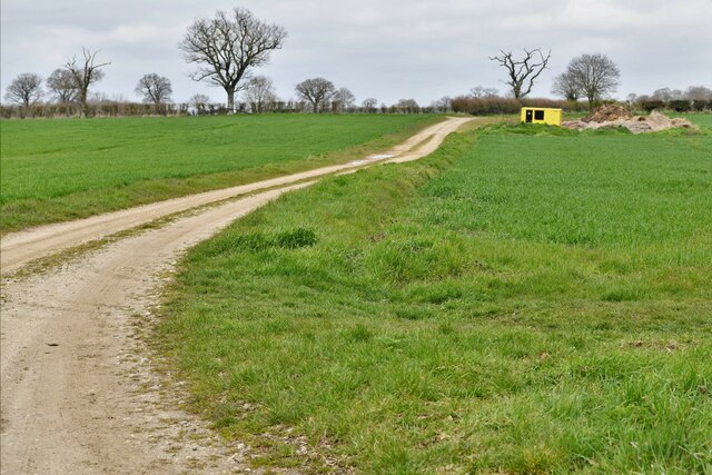
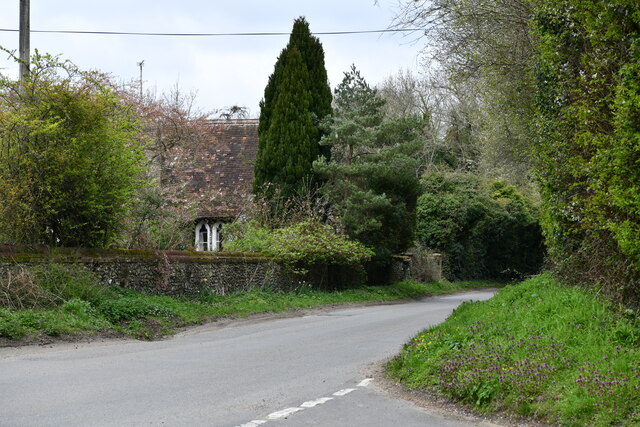
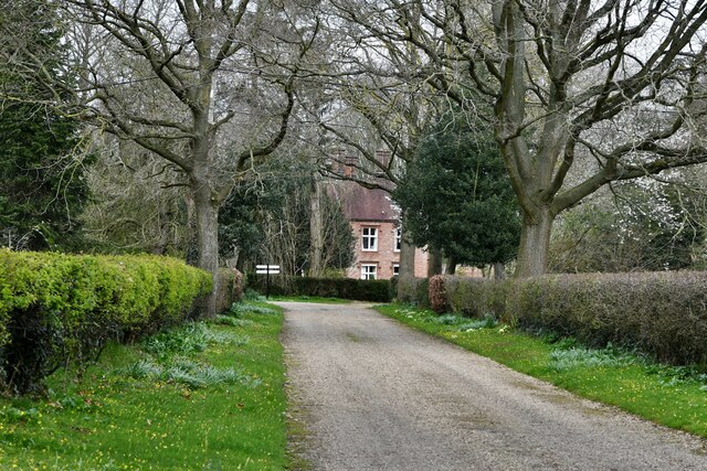
Beech Hill is a popular spot for outdoor enthusiasts and nature lovers, attracting hikers, walkers, and wildlife enthusiasts who come to explore the numerous trails and footpaths that crisscross the area. The hill's elevated position makes it an ideal viewpoint, offering panoramic vistas of the Norfolk countryside, including nearby villages, lush fields, and the distant coastline.
In addition to its natural beauty, Beech Hill also has historical significance. The hill is home to an ancient burial mound, known as a barrow, which dates back to the Bronze Age. This archaeological feature adds an extra layer of intrigue and allure to the area, attracting history enthusiasts and archaeology buffs.
Overall, Beech Hill in Norfolk is a captivating natural landmark that combines stunning scenery, recreational opportunities, and a touch of history. Whether visitors come to enjoy the views, explore the trails, or delve into the area's ancient past, Beech Hill offers a memorable experience for all who venture to its slopes.
If you have any feedback on the listing, please let us know in the comments section below.
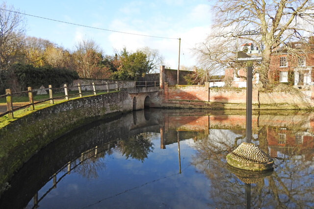
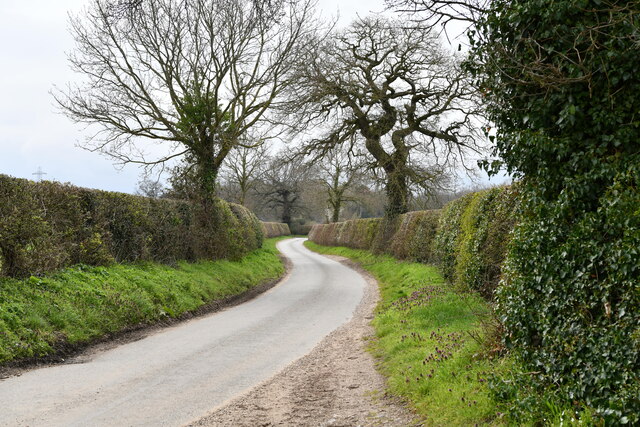
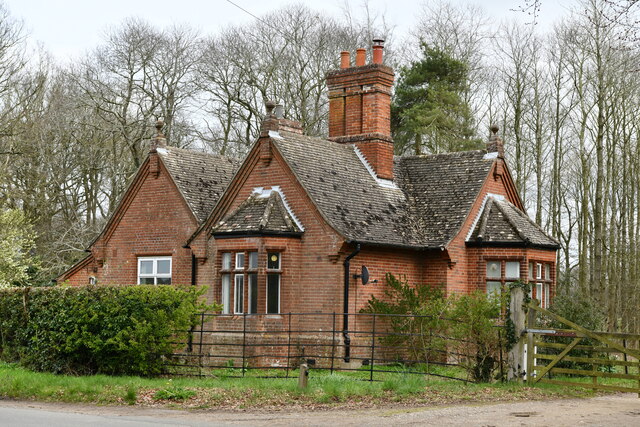
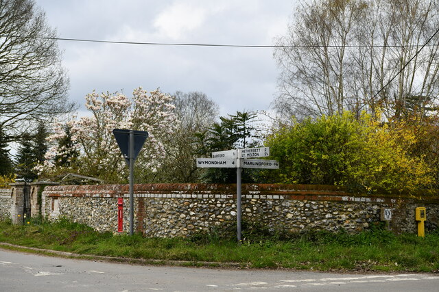
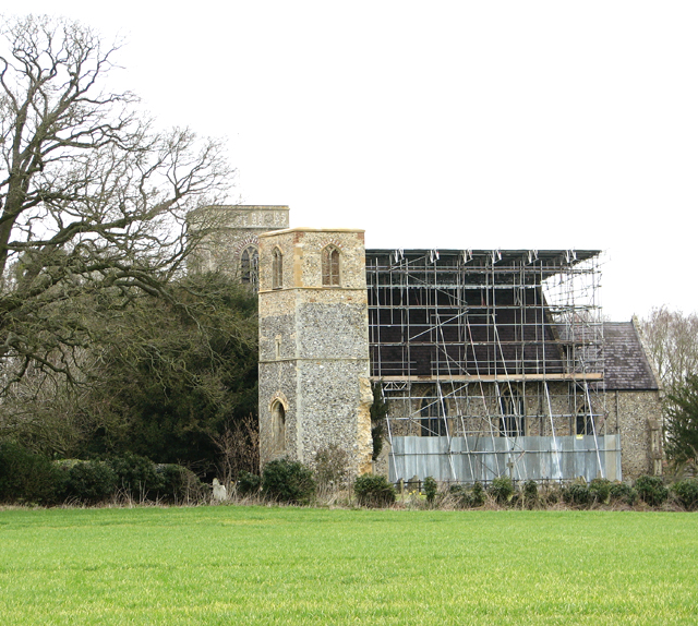
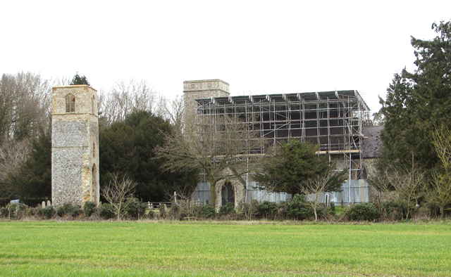
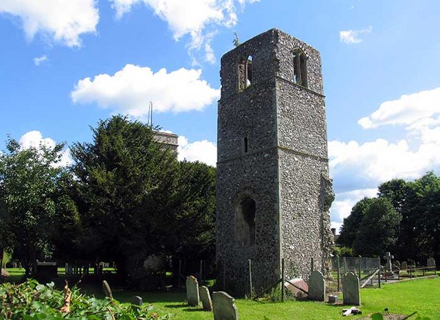
Beech Hill Images
Images are sourced within 2km of 52.622598/1.1472872 or Grid Reference TG1307. Thanks to Geograph Open Source API. All images are credited.
Beech Hill is located at Grid Ref: TG1307 (Lat: 52.622598, Lng: 1.1472872)
Administrative County: Norfolk
District: South Norfolk
Police Authority: Norfolk
What 3 Words
///bagpipes.sulk.everybody. Near Hethersett, Norfolk
Nearby Locations
Related Wikis

River Tiffey
The River Tiffey is a small river in Norfolk, England and a tributary of the River Yare. It rises near Hethel and passes through Wymondham before flowing...

Barford, Norfolk
Barford is a village and civil parish in the English county of Norfolk, situated some 4 miles (6 km) north of Wymondham and 8 miles (13 km) west of Norwich...
Great Melton
Great Melton is a civil parish in the English county of Norfolk. It covers an area of 10.24 km2 (3.95 sq mi) and had a population of 148 in 59 households...

Marlingford
Marlingford is a village and former civil parish, 6 miles (9.7 km) west of Norwich, now in the parish of Marlingford and Colton, in the South Norfolk district...

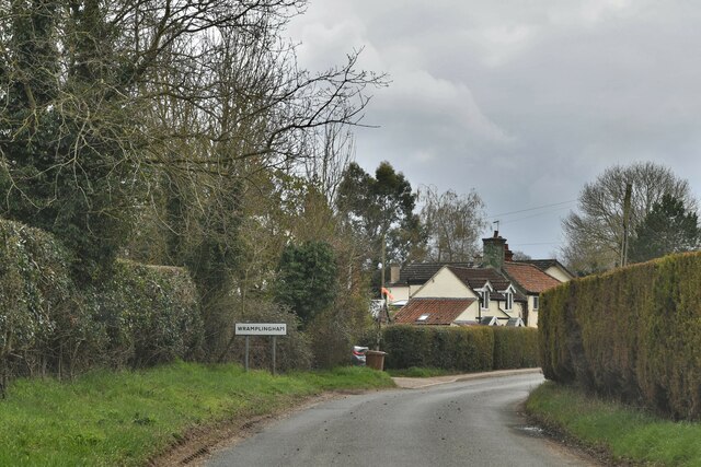
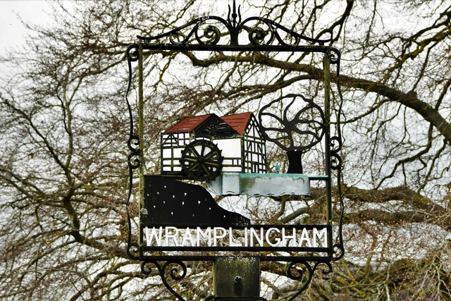
Wramplingham
Wramplingham is a village and civil parish in the English county of Norfolk. It is situated on the River Tiffey some 4 miles (6.4 km) north of Wymondham...
Marlingford and Colton
Marlingford and Colton, formerly Marlingford is a civil parish in the English county of Norfolk, made from the villages of Colton and Marlingford. It covers...
Easton College
Easton College is a college of further and higher education in Norfolk, United Kingdom. It is located on a 200-hectare (490-acre) campus in the village...

Bawburgh
Bawburgh () is a village and civil parish in the South Norfolk district of Norfolk, England, lying in the valley of the River Yare about 5 miles (8.0 km...
Nearby Amenities
Located within 500m of 52.622598,1.1472872Have you been to Beech Hill?
Leave your review of Beech Hill below (or comments, questions and feedback).