The Grove

Wood, Forest in Suffolk Mid Suffolk

England

The Grove

A14 eastbound at junction 53
A14 eastbound at junction 53 Credit: Roy Hughes

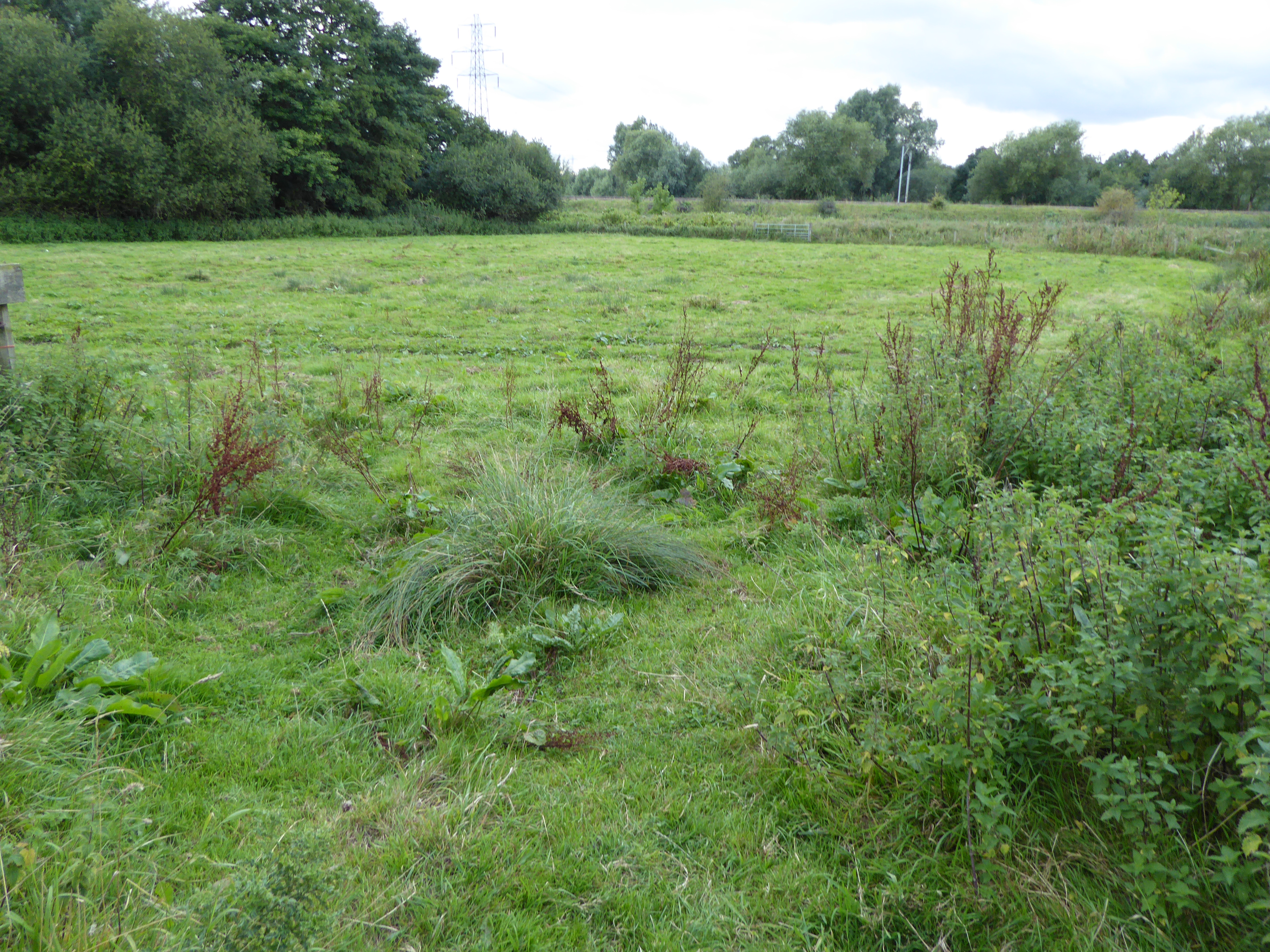
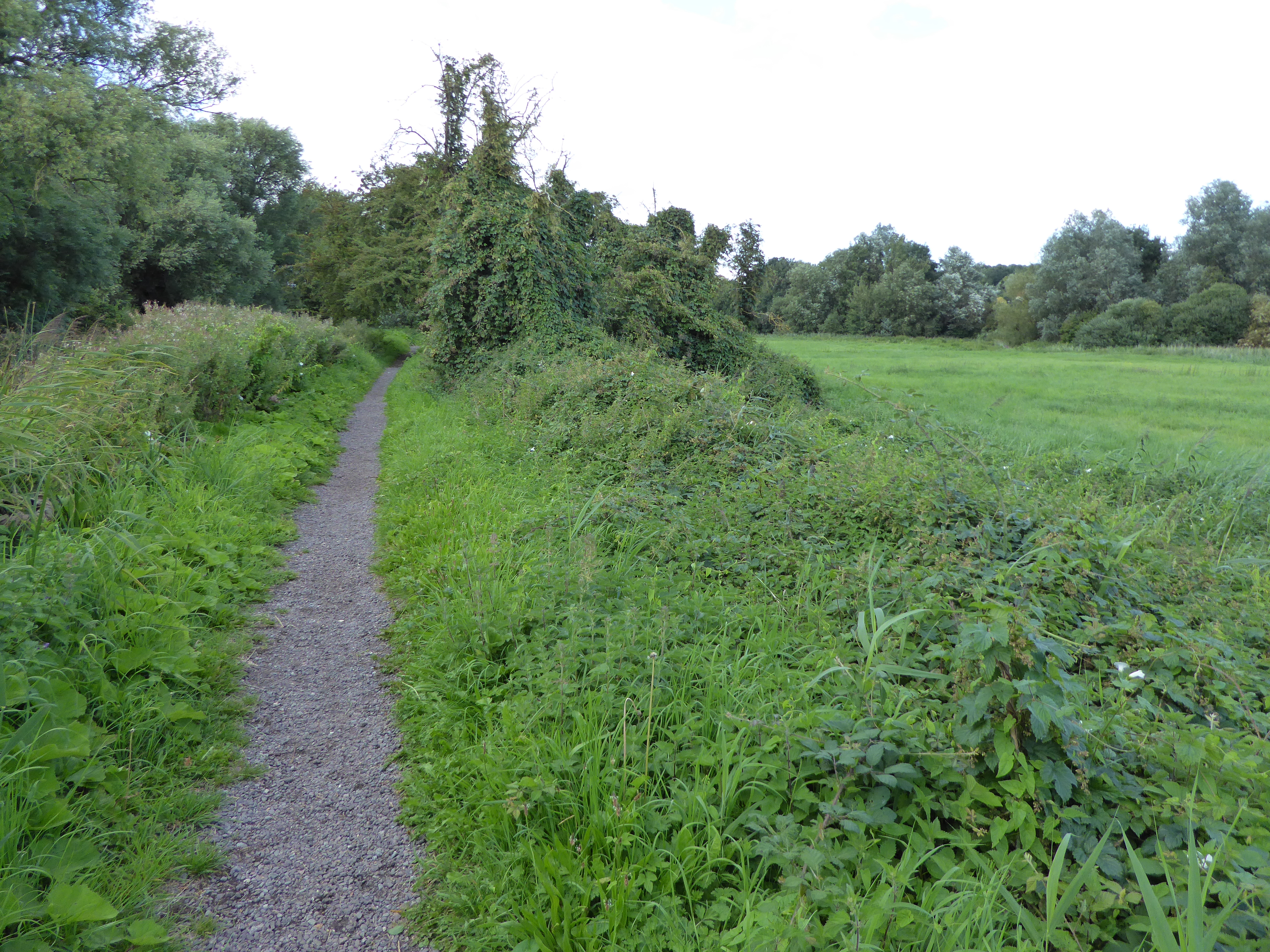
The Grove in Suffolk is a picturesque woodland area located in the eastern region of England. Spanning over a vast expanse of land, The Grove is renowned for its stunning natural beauty and rich biodiversity. The area is predominantly covered in dense forests and lush greenery, making it a haven for nature enthusiasts and outdoor lovers.

The Grove is home to a variety of tree species, including oak, beech, and pine, which create a vibrant and diverse ecosystem. The forest floor is adorned with a carpet of wildflowers, adding to the enchanting atmosphere of the woodlands. The air is often filled with the sweet scent of pine and the melodious songs of numerous bird species that inhabit the area.

The woodland is intersected by several walking trails and footpaths, allowing visitors to explore the area and immerse themselves in its natural splendor. These paths wind through the forest, offering breathtaking views of towering trees, babbling brooks, and peaceful meadows. The Grove also features a small lake, providing a tranquil spot for fishing or simply enjoying the serene surroundings.

Aside from its natural beauty, The Grove holds historical significance, with evidence of human habitation dating back thousands of years. Archaeological remains, such as ancient settlements and burial mounds, have been discovered within the woodland, providing valuable insights into the region's past.

Overall, The Grove in Suffolk is a captivating destination for those seeking solace in nature. Its untouched landscapes, diverse flora and fauna, and historical significance make it a truly unique and remarkable place to visit.

If you have any feedback on the listing, please let us know in the comments section below.
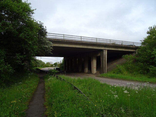
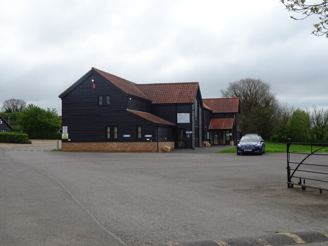
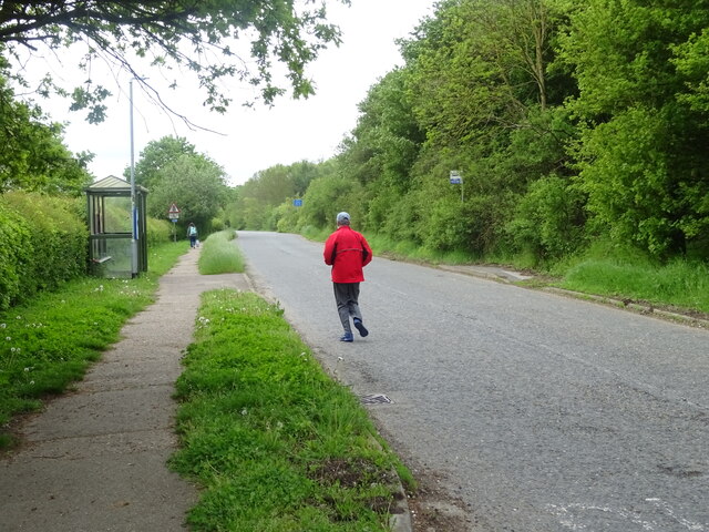
The Grove Images

Images are sourced within 2km of 52.085334/1.1071447 or Grid Reference TM1247. Thanks to Geograph Open Source API. All images are credited.

A14 eastbound at junction 53
Henniker Road, Ipswich
Brockley Crescent, Ipswich
Allotments off Bramford Lane, Ipswich
Bramford Lane Open Space
Footpath alongside Westbourne Acadaemy
Footpath to Castle Road, Ipswich
Church of St. Mary Magdalene, Ipswich
Bramford Lane Open Space
Beacon House, Goddard Road, Ipswich This is the north-east elevation. Beacon House is occupied by the public sector services provider Vertas, Sanctuary Housing and the Ipswich Coroner's Court & Offices.
Beacon House, Goddard Road, Ipswich
This is the north-east elevation. Beacon House is occupied by the public sector services provider Vertas, Sanctuary Housing and the Ipswich Coroner's Court & Offices.
Beacon House, Goddard Road, Ipswich This shows the south-east elevation of the building.
Beacon House, Goddard Road, Ipswich
This shows the south-east elevation of the building.
Suffolk Police Headquarters, Landmark House, Ipswich Landmark House (left) and Beacon House (right). Taken at the junction of White House Road (left), Egerton Road (centre) and Goddard Road (right).
Suffolk Police Headquarters, Landmark House, Ipswich
Landmark House (left) and Beacon House (right). Taken at the junction of White House Road (left), Egerton Road (centre) and Goddard Road (right).
Elizabeth II postbox on Bramford Lane Postbox No.IP1 1001.
See <a href="https://www.geograph.org.uk/photo/7486413">TM1446 : Estate Stores on Bramford Lane</a> for context.
Elizabeth II postbox on Bramford Lane
Postbox No.IP1 1001. See TM1446 : Estate Stores on Bramford Lane for context.
Estate Stores on Bramford Lane Showing position of Postbox No.IP1 1001.
See <a href="https://www.geograph.org.uk/photo/7486408">TM1446 : Elizabeth II postbox on Bramford Lane</a> for postbox.
Estate Stores on Bramford Lane
Showing position of Postbox No.IP1 1001. See TM1446 : Elizabeth II postbox on Bramford Lane for postbox.
George V postbox on Old Norwich Road Postbox No.IP1 1241.
George V postbox on Old Norwich Road
Postbox No.IP1 1241.
A14 bridge, Claydon
A14 bridge, Claydon
Hill View Business Park
Bus stop and shelter on Old Norwich Road The road is closed to motorised vehicles except buses.
Bus stop and shelter on Old Norwich Road
The road is closed to motorised vehicles except buses.
Show me another place!

The Grove is located at Grid Ref: TM1247 (Lat: 52.085334, Lng: 1.1071447)

Administrative County: Suffolk

District: Mid Suffolk

Police Authority: Suffolk

What 3 Words

///ankle.worker.tribe. Near Bramford, Suffolk

Nearby Locations

The Grove Bramford Common

Related Wikis

Papermill Reedbed

Papermill Reedbed is a 6 hectare nature reserve in Bramford in Suffolk. It is owned by Blakenham Farms and managed by the Suffolk Wildlife Trust.The Trust...

Whitton United F.C.

Whitton United F.C. is an English football club based in the Whitton area of Ipswich, Suffolk. The club are currently members of the Eastern Counties League...

Bramford railway station

Bramford railway station refers to the two stations located in Bramford, Suffolk. == History == The first station at Bramford was opened by the Ipswich...

Bramford Meadows

Bramford Meadows is a nine hectare Local Nature Reserve in Bramford, on the western outskirts of Ipswich in Suffolk. It is owned by Bramford Parish Council...

Whitehouse Ward, Ipswich

Whitehouse Ward is a ward in the North West Area of the town and district of Ipswich in the English county of Suffolk. It returns three councillors to...

Whitehouse, Ipswich

Whitehouse refers to an area in North West Area of the town Ipswich, in the Ipswich district, in the county of Suffolk, England. The name comes from a...

Whitton, Ipswich

Whitton is an area of Ipswich and once a separate village. It is now a ward of Ipswich Borough Council in Suffolk, England. The civil parish of Whitton...
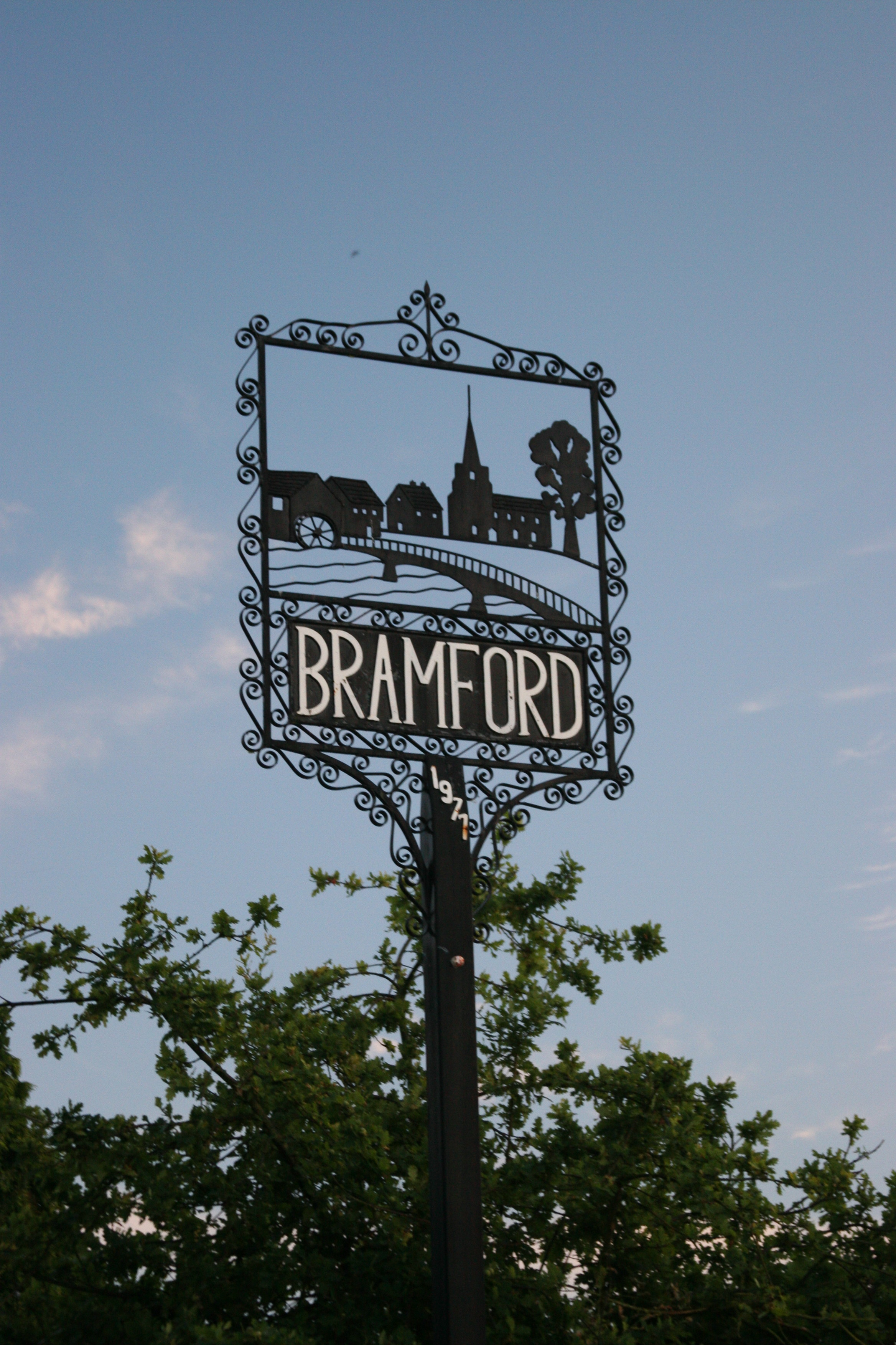
Bramford

Bramford is a village in the Mid Suffolk district of Suffolk, England. It is three miles west of Ipswich of which it forms part of the wider Ipswich Built...

Nearby Amenities

Located within 500m of 52.085334,1.1071447
Motorway Junction
Whitehouse Interchange
Ref: 53
Lat/Long: 52.0861848/1.1123458
Mini Roundabout
Direction: clockwise
Lat/Long: 52.0849721/1.1141707
Power: tower
Lat/Long: 52.0847092/1.1047483
Power: tower
Lat/Long: 52.0857483/1.1093888
Power: tower
Lat/Long: 52.0851463/1.1046947
Power: tower
Lat/Long: 52.086223/1.1090283
Power: tower
Lat/Long: 52.0867749/1.1140393
Bus Stop
Goddard Road
Local Ref: adj
Naptan AtcoCode: 390030966
Naptan Bearing: N
Naptan CommonName: Goddard Road
Naptan Landmark: Whitehouse Road
Naptan NaptanCode: sufatpag
Naptan PlusbusZoneRef: IPSWICH
Naptan Street: Goddard Road
Naptan Verified: yes
Public Transport: platform
Source: naptan_import
Lat/Long: 52.0825039/1.112458
Power: pole
Lat/Long: 52.0890403/1.1038713
Power: pole
Lat/Long: 52.0832048/1.1085329
Power: pole
Lat/Long: 52.0853944/1.1041715
Power: pole
Lat/Long: 52.0830532/1.107452
Power: pole
Lat/Long: 52.0828702/1.1063308
Power: pole
Lat/Long: 52.0883348/1.1040465
Power: pole
Lat/Long: 52.0873006/1.1039115
Power: pole
Lat/Long: 52.0836063/1.1053279
Power: pole
Lat/Long: 52.0863133/1.1040429
Power: pole
Lat/Long: 52.0842679/1.1043192
Power: pole
Lat/Long: 52.0829015/1.1100564
Power: pole
Lat/Long: 52.0837103/1.1023254
Power: pole
Lat/Long: 52.0838203/1.1026968
Power: pole
Lat/Long: 52.0833574/1.1010627
Crossing
Crossing: unmarked
Crossing Markings: no
Lat/Long: 52.0850499/1.1143821
Crossing
Lat/Long: 52.0815956/1.1109537
Post Box
Collection Times: Mo-Fr 17:15; Sa 09:30
Operator: Royal Mail
Ref: IP6 1338
Royal Cypher: EIIR
Royal Cypher Wikidata: Q33102113
Lat/Long: 52.0882109/1.1031692
Crossing
Crossing: uncontrolled
Kerb: lowered
Tactile Paving: yes
Lat/Long: 52.0835968/1.1132719
Crossing
Crossing: uncontrolled
Crossing Ref: zebra
Lat/Long: 52.0850197/1.1131376
Crossing
Crossing: uncontrolled
Crossing Ref: zebra
Lat/Long: 52.085065/1.1129187
Crossing
Crossing: uncontrolled
Crossing Ref: zebra
Lat/Long: 52.0853432/1.113024
Crossing
Crossing: uncontrolled
Crossing Ref: zebra
Lat/Long: 52.0852476/1.1131569
Crossing
Crossing: uncontrolled
Crossing Ref: zebra
Lat/Long: 52.0852069/1.1132184
Colour: red and white
Marker: aerial
Utility: gas
Lat/Long: 52.0841837/1.1108101
Colour: red and white
Marker: aerial
Utility: gas
Lat/Long: 52.0829691/1.1042918
Colour: yellow
Marker: post
Material: plastic
Utility: gas
Lat/Long: 52.0829682/1.1042944
Communication Mobile Phone: yes
Man Made: mast
Tower Type: communication
Lat/Long: 52.0823541/1.1125806
Crossing
Lat/Long: 52.0857685/1.1136494
Crossing
Lat/Long: 52.085548/1.1139816
Crossing
Lat/Long: 52.0855348/1.1141389
The data included in this document is from www.openstreetmap.org. The data is made available under ODbL.

Have you been to The Grove?

Leave your review of The Grove below (or comments, questions and feedback).