Coronation Belt
Wood, Forest in Norfolk Breckland
England
Coronation Belt
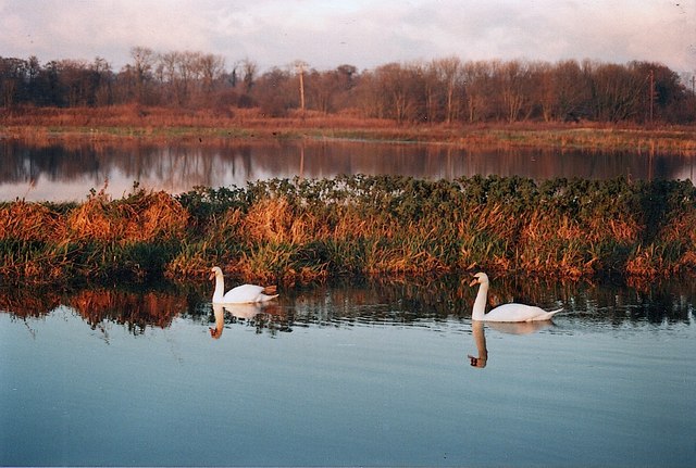
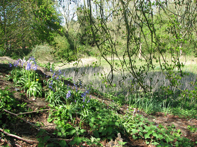
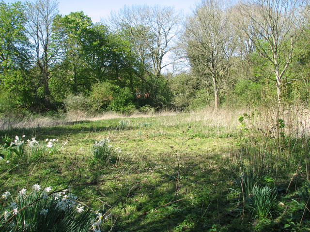
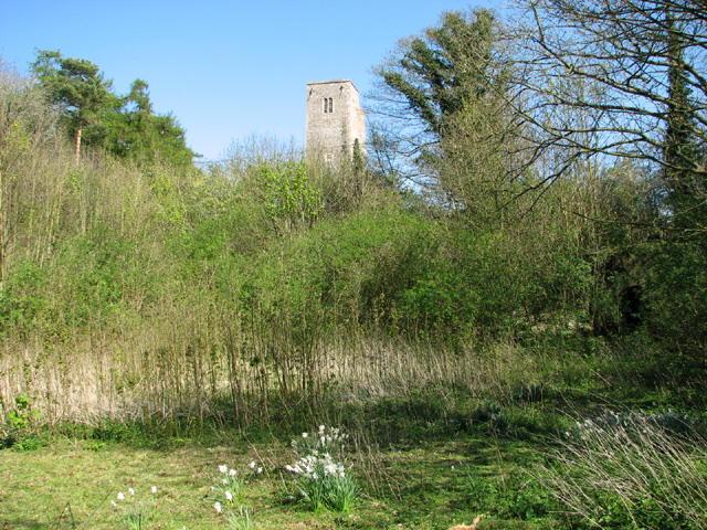
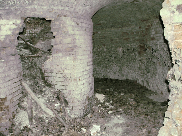
Coronation Belt, located in Norfolk, England, is a picturesque wood and forest area that spans approximately 200 acres. It is a popular destination for nature enthusiasts and outdoor enthusiasts alike, offering a serene escape from the hustle and bustle of city life. The Belt is named after the coronation of King George V and Queen Mary in 1911.
The woodland features a diverse range of tree species, including oak, beech, birch, and chestnut, creating a vibrant and colorful landscape throughout the year. The dense foliage provides a habitat for numerous wildlife species, making it a haven for bird watchers and animal lovers. Visitors can spot a variety of woodland creatures, such as deer, foxes, badgers, and a plethora of bird species.
Coronation Belt offers several well-maintained walking trails, allowing visitors to explore its natural beauty at their own pace. The paths wind through the forest, offering stunning views of the surrounding countryside. The wood is also home to a number of picnic spots and benches, providing visitors with the perfect opportunity to relax and soak in the tranquil atmosphere.
Managed by a local conservation organization, the wood is carefully preserved to maintain its natural charm and biodiversity. Regular maintenance and conservation efforts ensure that the wood remains an enchanting and thriving ecosystem for both flora and fauna.
Overall, Coronation Belt in Norfolk, with its majestic woodland and diverse wildlife, offers a peaceful and enchanting escape for nature lovers and those seeking a respite from the hustle and bustle of daily life.
If you have any feedback on the listing, please let us know in the comments section below.
Coronation Belt Images
Images are sourced within 2km of 52.792374/0.96147493 or Grid Reference TF9925. Thanks to Geograph Open Source API. All images are credited.


Coronation Belt is located at Grid Ref: TF9925 (Lat: 52.792374, Lng: 0.96147493)
Administrative County: Norfolk
District: Breckland
Police Authority: Norfolk
What 3 Words
///clipped.gentle.excavate. Near Foulsham, Norfolk
Nearby Locations
Related Wikis
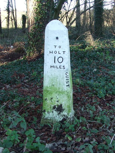
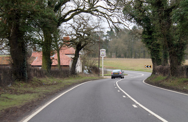
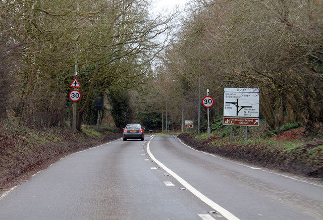
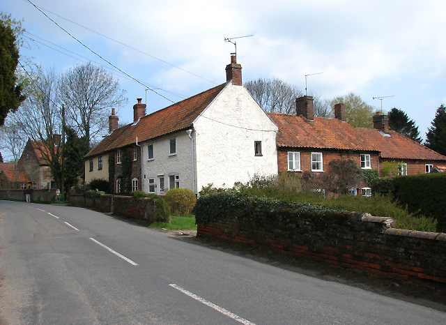
Guist
Guist () is a village and civil parish in the English county of Norfolk. It covers an area of 6.80 km2 (2.63 sq mi) and had a population of 242 in 102...
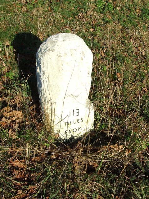
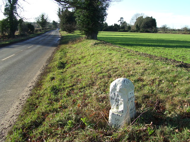
B1110 road
The B1110 runs for about 19 miles (31 km) between Holt and Dereham, and is entirely within the county of Norfolk. The road is a link between the A148 and...

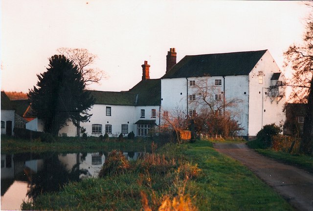
Bintry Watermill
Bintry Watermill is located on the River Wensum, about a mile (2 km) west of the village of Bintree in the English county of Norfolk. The watermill is...
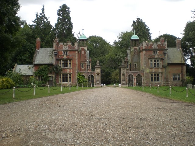
Sennowe Hall
Sennowe Hall (also known as Sennowe Park) is a large country house and estate located near the village of Guist in Norfolk, England. The clock tower, the...
Nearby Amenities
Located within 500m of 52.792374,0.96147493Have you been to Coronation Belt?
Leave your review of Coronation Belt below (or comments, questions and feedback).