Norris's Plantation
Wood, Forest in Norfolk Breckland
England
Norris's Plantation
Norris's Plantation, also known as Norfolk Wood or Norfolk Forest, is a historic site located in Norfolk, England. Spanning an area of approximately 200 acres, the plantation is situated within the Norfolk Broads National Park, a renowned wetland region.
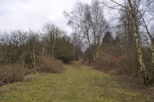
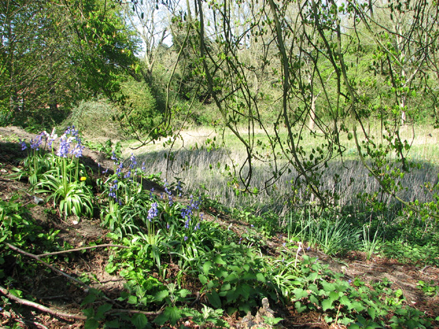
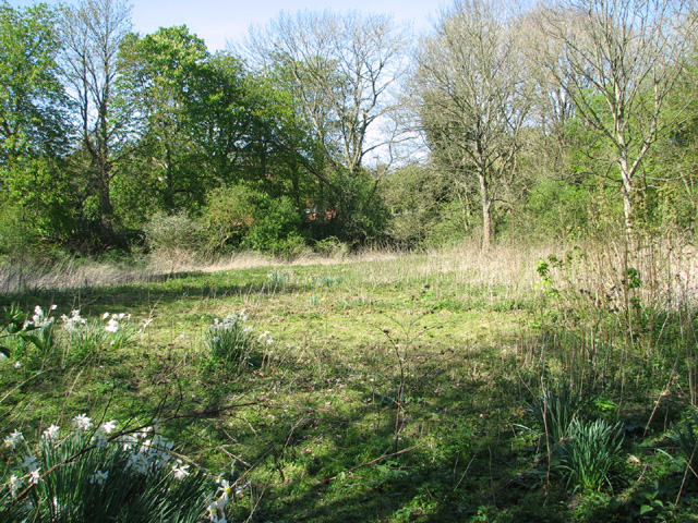
The plantation is characterized by its diverse array of flora and fauna, representing a unique ecosystem within the broader wetland landscape. It is home to a variety of tree species, including oak, ash, birch, and willow, which create a dense canopy and provide habitat for numerous bird species, small mammals, and insects.
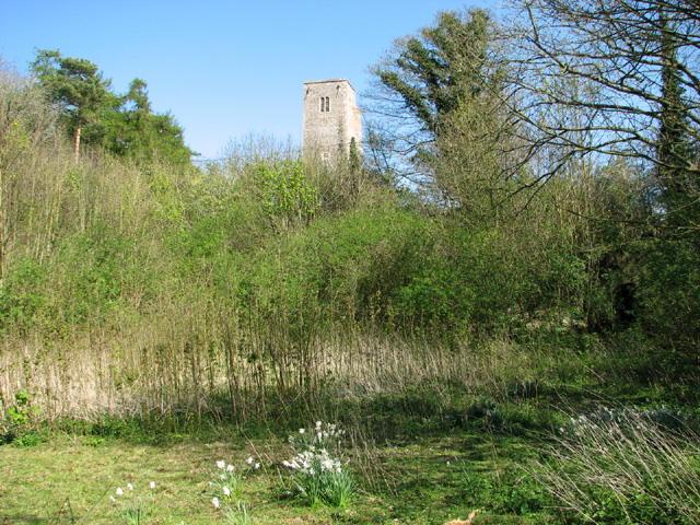
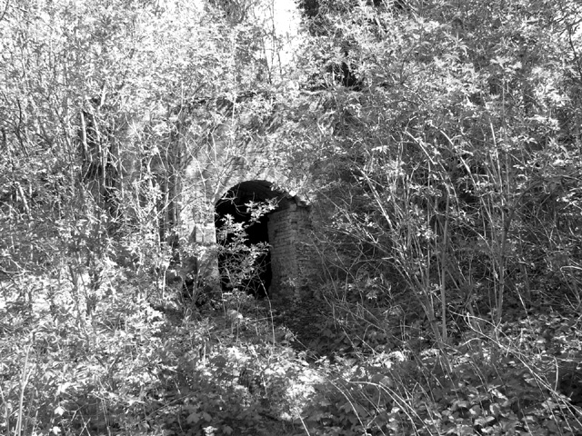
The site has a rich history, dating back several centuries. It was originally established as a hunting ground for local nobility and later developed into a working plantation during the 18th and 19th centuries. The plantation's timber was harvested for various purposes, such as shipbuilding, construction, and fuel.
Today, Norris's Plantation serves as an important nature reserve and recreational area for visitors. The site offers well-maintained walking paths, allowing visitors to explore the plantation's natural beauty and observe its diverse wildlife. It is a popular destination for nature enthusiasts, birdwatchers, and photographers.
Efforts have been made to preserve and enhance the ecological value of the plantation, including ongoing conservation projects and the reintroduction of native plant species. The site is managed by local authorities in collaboration with environmental organizations, ensuring its long-term sustainability and enjoyment for future generations.
If you have any feedback on the listing, please let us know in the comments section below.
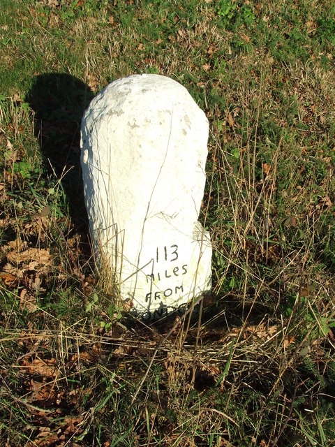
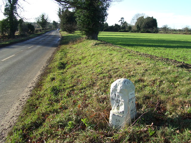
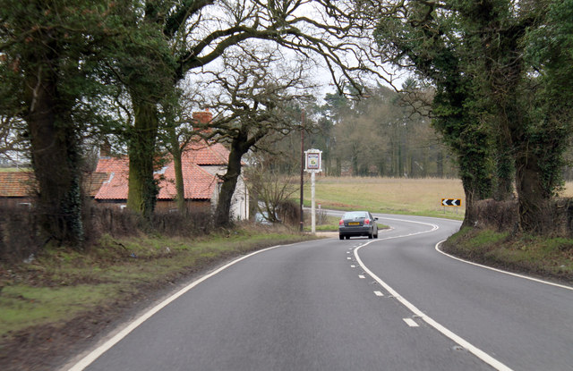
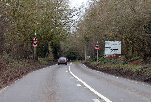
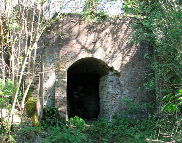
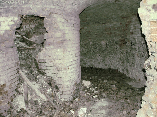
Norris's Plantation Images
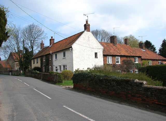
Images are sourced within 2km of 52.791026/0.95168179 or Grid Reference TF9925. Thanks to Geograph Open Source API. All images are credited.


Norris's Plantation is located at Grid Ref: TF9925 (Lat: 52.791026, Lng: 0.95168179)
Administrative County: Norfolk
District: Breckland
Police Authority: Norfolk
What 3 Words
///zooms.iterative.reverted. Near Foulsham, Norfolk
Nearby Locations
Related Wikis
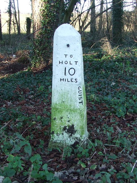
Guist
Guist () is a village and civil parish in the English county of Norfolk. It covers an area of 6.80 km2 (2.63 sq mi) and had a population of 242 in 102...
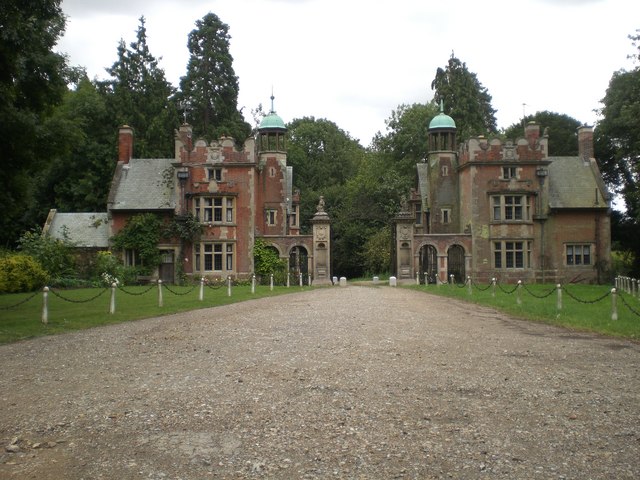
Sennowe Hall
Sennowe Hall (also known as Sennowe Park) is a large country house and estate located near the village of Guist in Norfolk, England. The clock tower, the...
B1110 road
The B1110 runs for about 19 miles (31 km) between Holt and Dereham, and is entirely within the county of Norfolk. The road is a link between the A148 and...

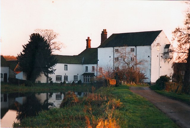
Bintry Watermill
Bintry Watermill is located on the River Wensum, about a mile (2 km) west of the village of Bintree in the English county of Norfolk. The watermill is...
Nearby Amenities
Located within 500m of 52.791026,0.95168179Have you been to Norris's Plantation?
Leave your review of Norris's Plantation below (or comments, questions and feedback).