Friday Wood
Wood, Forest in Essex Colchester
England
Friday Wood
Friday Wood is a picturesque forest located in Essex, England. Covering an area of approximately 100 acres, it is a remarkable natural habitat that attracts nature enthusiasts, hikers, and birdwatchers alike.
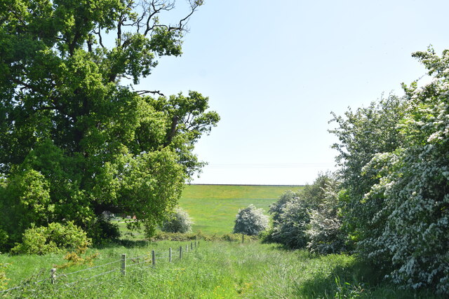
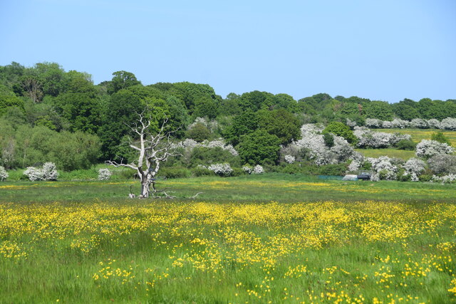
The wood is predominantly composed of native broadleaf trees such as oak, beech, and birch, creating a diverse and dense canopy that provides a haven for various species of flora and fauna. The forest floor is adorned with a carpet of bluebells and wildflowers during the spring, adding a burst of color to the landscape.
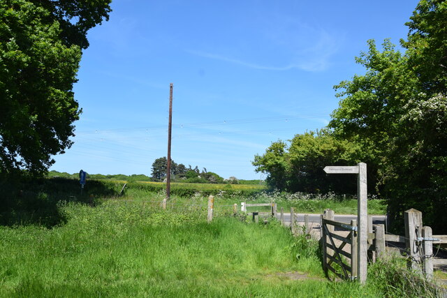
Trails wind through the wood, allowing visitors to explore its beauty at their own pace. The paths are well-maintained and provide a peaceful and tranquil atmosphere, making it a popular spot for walking, jogging, and cycling. Along the way, one can encounter an array of wildlife, including deer, foxes, rabbits, and a variety of bird species.
Friday Wood is also home to several small ponds and streams, adding to its natural charm. These water sources attract a diverse range of aquatic life and provide a peaceful backdrop for visitors to relax and enjoy the sounds of nature.
The wood is managed by a local conservation organization, ensuring its preservation and protection. Educational programs and guided tours are offered, allowing visitors to learn about the wood's history, ecology, and importance as a local ecosystem.
Overall, Friday Wood is a hidden gem in Essex, offering a serene and enchanting escape from the bustle of everyday life. Its natural beauty and rich biodiversity make it an ideal destination for anyone seeking a peaceful retreat in the heart of nature.
If you have any feedback on the listing, please let us know in the comments section below.
Friday Wood Images
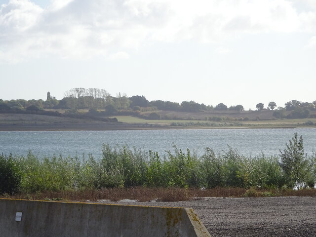
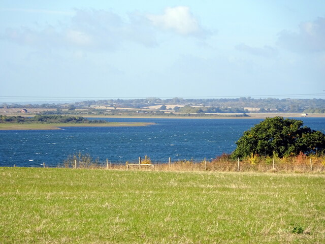
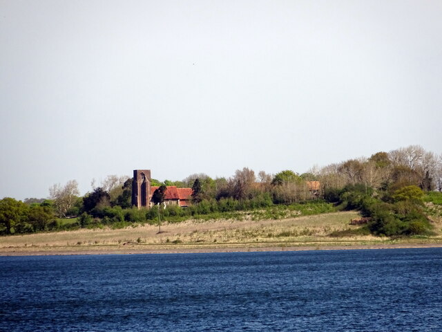
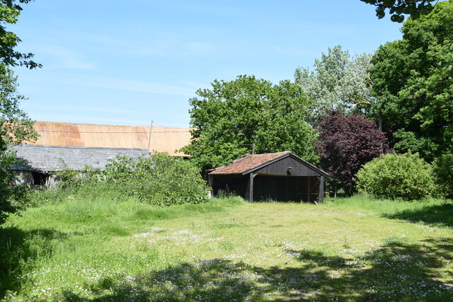
Images are sourced within 2km of 51.850935/0.88994081 or Grid Reference TL9920. Thanks to Geograph Open Source API. All images are credited.


Friday Wood is located at Grid Ref: TL9920 (Lat: 51.850935, Lng: 0.88994081)
Administrative County: Essex
District: Colchester
Police Authority: Essex
What 3 Words
///combining.barn.sticks. Near Layer de la Haye, Essex
Nearby Locations
Related Wikis

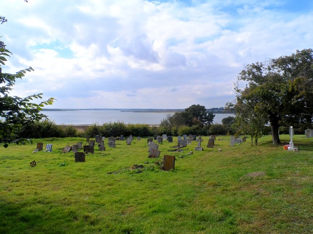
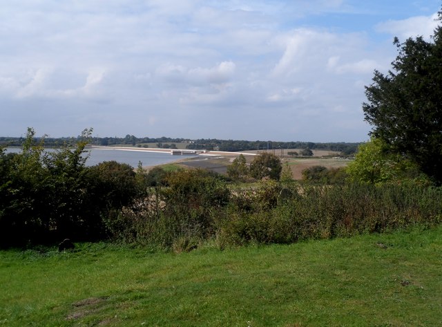
Roman River SSSI
Roman River is a 275.6-hectare (681-acre) biological Site of Special Scientific Interest (SSSI) south of Colchester in Essex. Two areas, Friday Wood and...

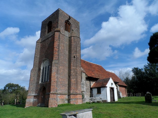
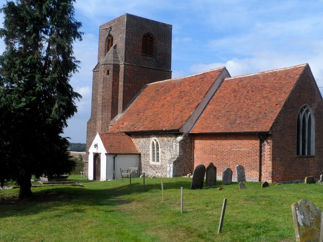
St Michael's Church, Berechurch
St Michael's Church is a redundant Anglican church in the village of Berechurch, Essex, England. It is recorded in the National Heritage List for England...
Berechurch
Berechurch is an suburb of Colchester in Essex, England. Berechurch was formerly a separate civil parish. In 1891 the parish had a population of 167. On...

Roman River Valley
Roman River Valley is a 17.8-hectare (44-acre) nature reserve north of Layer de la Haye in Essex. It is managed by the Essex Wildlife Trust.This wetland...
Nearby Amenities
Located within 500m of 51.850935,0.88994081Have you been to Friday Wood?
Leave your review of Friday Wood below (or comments, questions and feedback).