Charlotte's Grove

Wood, Forest in Essex Colchester

England

Charlotte's Grove

Haye Lane, Abberton A lane north of the village of Abberton.
Haye Lane, Abberton Credit: Trevor Harris

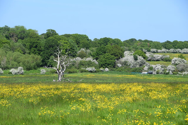
Charlotte's Grove is a picturesque woodland area located in Essex, England. Situated in the heart of the county, it covers an expansive area of approximately 100 acres. This enchanting forest is a popular destination for nature lovers and those seeking tranquility away from the hustle and bustle of city life.

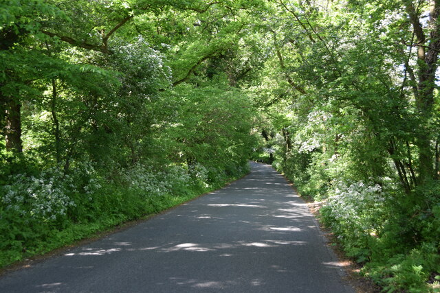
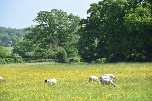
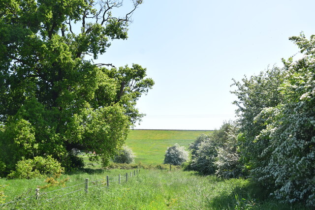
The grove is characterized by its dense and diverse tree cover, which includes a variety of native species such as oak, beech, birch, and maple. These towering trees create a lush green canopy, providing a cool and shaded atmosphere even on the hottest summer days. The forest floor is adorned with a carpet of vibrant wildflowers, adding a splash of color to the serene landscape.

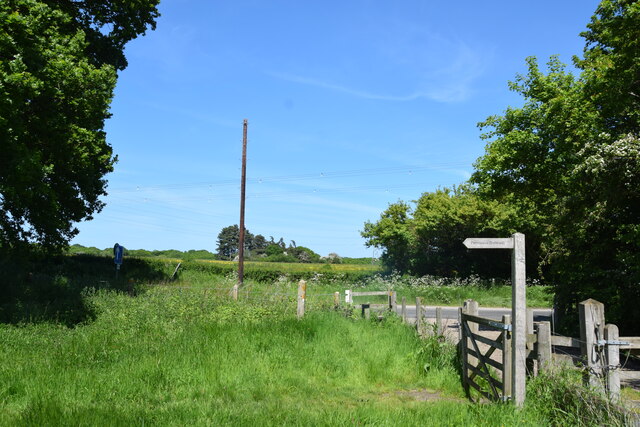
Traversing through Charlotte's Grove, visitors can explore a network of well-maintained walking trails that wind their way through the woods. These paths offer an opportunity to observe the local wildlife, including squirrels, rabbits, and an array of bird species. The tranquil ambiance and the melodious chirping of birds make it a perfect spot for avid birdwatchers.

The grove is also home to a small, crystal-clear stream that meanders through its heart. This babbling brook not only adds to the natural beauty of the area but also provides a refreshing spot for visitors to cool off or enjoy a picnic by its banks.

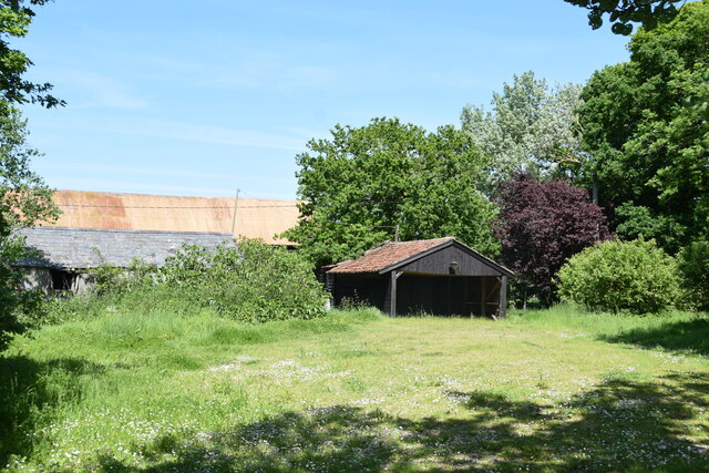
Charlotte's Grove is not only a haven for nature enthusiasts but also a significant site for environmental conservation. The forest is carefully managed by local authorities to preserve its biodiversity and protect its delicate ecosystem.

Overall, Charlotte's Grove is a magnificent woodland retreat, offering a haven of peace and tranquility, and a chance to connect with nature in the heart of Essex.

If you have any feedback on the listing, please let us know in the comments section below.

Charlotte's Grove Images

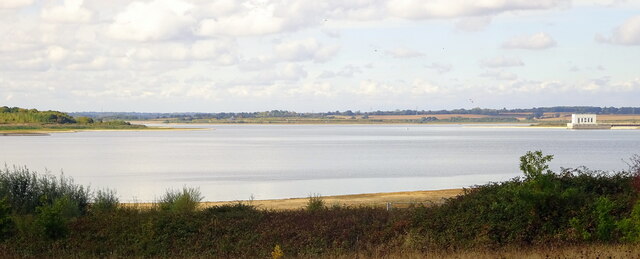
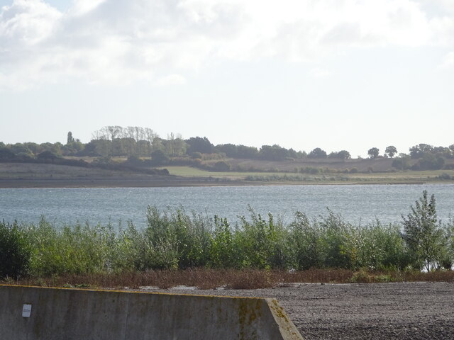
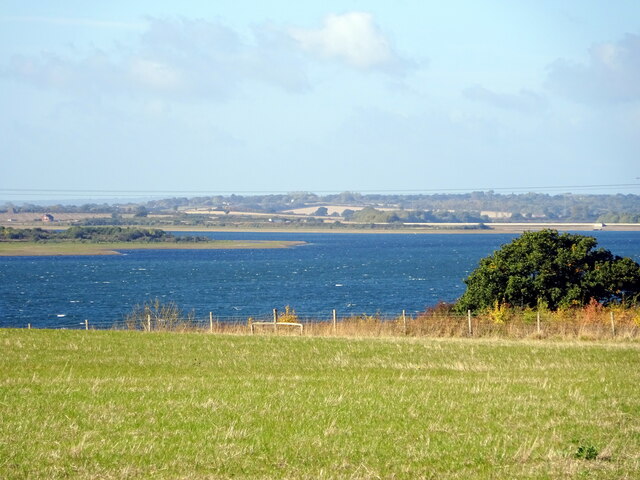
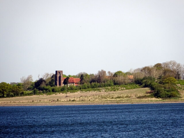
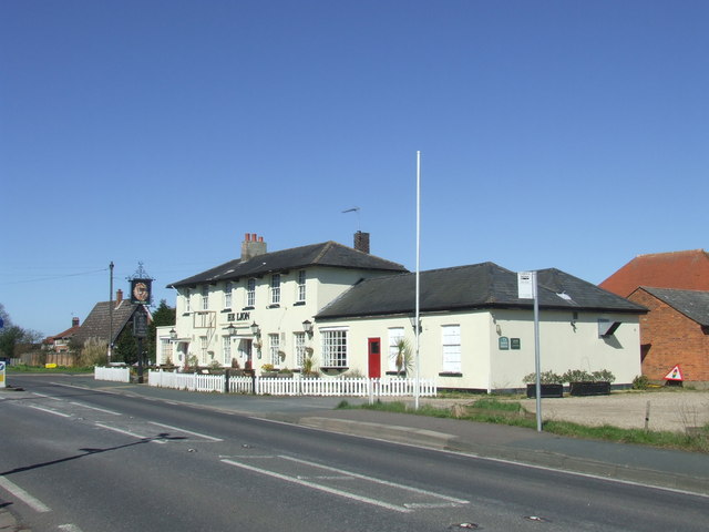
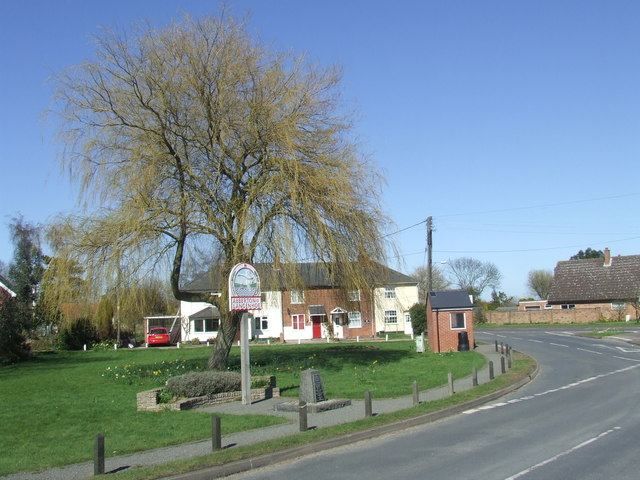
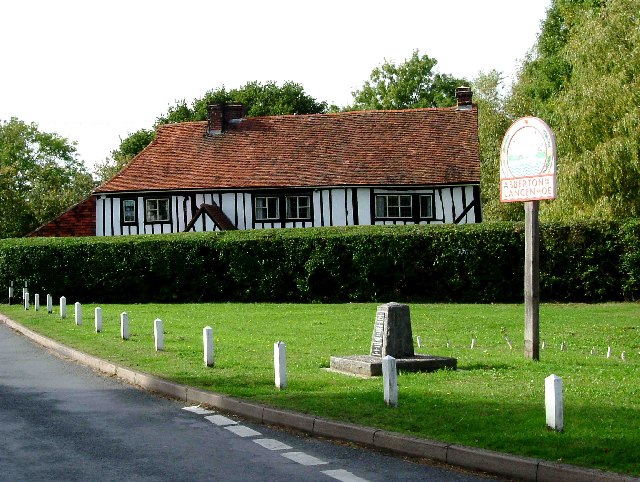
Images are sourced within 2km of 51.846363/0.89775041 or Grid Reference TL9920. Thanks to Geograph Open Source API. All images are credited.

Haye Lane, Abberton A lane north of the village of Abberton.
Haye Lane, Abberton
A lane north of the village of Abberton.
Sheep and buttercups Sheep grazing in a field by Haye Lane.
Sheep and buttercups
Sheep grazing in a field by Haye Lane.
Crossroad in Abberton Taken from Layer Road, with Mersea Road crossing and looking towards Fingrinhoe Road.
Crossroad in Abberton
Taken from Layer Road, with Mersea Road crossing and looking towards Fingrinhoe Road.
Abberton: Bus shelter
Abberton: Village sign and War Memorial
Abberton and Langenhoe Village Sign
Abberton: 1-5 Mersea Road
Abberton: 1-4, Waver Terrace and telephone box now used as a book swap facility
A nice view of Abberton Reservoir Well; wasn't it nice of the landowners to create a permissive path/bridleway that follows some sections of the reservoir; cos this really does make a good walk with plenty of superb views; like this one for instance. Reminds me of the beautiful river estuaries of the Colne & Stour in places. All that's needed is a path to connect Lodge Lane; Peldon to the B1026; so don't have to walk along a dangerous section of the Wigborough Road, like one has to do at the moment!
A nice view of Abberton Reservoir
Well; wasn't it nice of the landowners to create a permissive path/bridleway that follows some sections of the reservoir; cos this really does make a good walk with plenty of superb views; like this one for instance. Reminds me of the beautiful river estuaries of the Colne & Stour in places. All that's needed is a path to connect Lodge Lane; Peldon to the B1026; so don't have to walk along a dangerous section of the Wigborough Road, like one has to do at the moment!
Abberton Reservoir from a permissive path; Near Layer-De-La Haye This section of the path I only discovered last Saturday. I was soon to find out that it ended on a "private" section of Fields Farm Road!
Abberton Reservoir from a permissive path; Near Layer-De-La Haye
This section of the path I only discovered last Saturday. I was soon to find out that it ended on a "private" section of Fields Farm Road!
Another nice view of Abberton Reservoir
View of St Andrews church & Abberton Reservoir
Dead oak, buttercups, hawthorn blossom A view across a pasture north of Abberton Reservoir.
Dead oak, buttercups, hawthorn blossom
A view across a pasture north of Abberton Reservoir.
Farm buildings at Abberton Hall Taken from the footpath to the church.
Farm buildings at Abberton Hall
Taken from the footpath to the church.
Looking across Abberton Road  Taken from the permissive footpath which runs north of the dam of Abberton Reservoir.
Looking across Abberton Road
Taken from the permissive footpath which runs north of the dam of Abberton Reservoir.
Dam of Abberton Reservoir Ahead is the back slope of the dam of Abberton Reservoir taken from the permissive footpath which runs behind the dam.
Dam of Abberton Reservoir
Ahead is the back slope of the dam of Abberton Reservoir taken from the permissive footpath which runs behind the dam.
The Lion, Abberton The Lion pub in the village of Abberton, Essex
The Lion, Abberton
The Lion pub in the village of Abberton, Essex
Abberton, Essex The sign is for Abberton and Langenhoe.  Langenhoe is the name of a small settlement immediately to the south of the centre of Abberton.

The stone in front of the village sign is a memorial to villagers killed during the two World Wars.
Abberton, Essex
The sign is for Abberton and Langenhoe. Langenhoe is the name of a small settlement immediately to the south of the centre of Abberton. The stone in front of the village sign is a memorial to villagers killed during the two World Wars.
Show me another place!

Charlotte's Grove is located at Grid Ref: TL9920 (Lat: 51.846363, Lng: 0.89775041)

Administrative County: Essex

District: Colchester

Police Authority: Essex

What 3 Words

///lion.owners.exact. Near Layer de la Haye, Essex

Related Wikis

Roman River SSSI

Roman River is a 275.6-hectare (681-acre) biological Site of Special Scientific Interest (SSSI) south of Colchester in Essex. Two areas, Friday Wood and...

Berechurch

Berechurch is an suburb of Colchester in Essex, England. Berechurch was formerly a separate civil parish. In 1891 the parish had a population of 167. On...

St Michael's Church, Berechurch

St Michael's Church is a redundant Anglican church in the village of Berechurch, Essex, England. It is recorded in the National Heritage List for England...
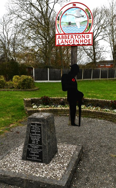
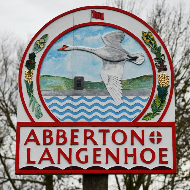
Abberton, Essex

Abberton is a village in the City of Colchester district of Essex, England. It is located approximately 0.62 mi (1.00 km) east of Abberton Reservoir and...

Nearby Amenities

Located within 500m of 51.846363,0.89775041
Power: tower
Ref: PUD 24
Lat/Long: 51.8450845/0.8912486
Power: tower
Ref: PUD 22
Lat/Long: 51.8496368/0.894188
Power: tower
Ref: PUD 23
Lat/Long: 51.8473548/0.8926809
Barrier: kissing_gate
Lat/Long: 51.8441062/0.8973051
Barrier: kissing_gate
Lat/Long: 51.8419105/0.8973588
Barrier: kissing_gate
Lat/Long: 51.8446747/0.8974849
Barrier: kissing_gate
Lat/Long: 51.844774/0.897635
Barrier: kissing_gate
Lat/Long: 51.8461514/0.8937029
The data included in this document is from www.openstreetmap.org. The data is made available under ODbL.

Have you been to Charlotte's Grove?

Leave your review of Charlotte's Grove below (or comments, questions and feedback).