Lambert's Plantation

Wood, Forest in Norfolk North Norfolk

England

Lambert's Plantation

Church of St Martin, Hindringham <span class="nowrap"><a title="https://historicengland.org.uk/listing/the-list/list-entry/1049373?section=official-list-entry" rel="nofollow ugc noopener" href="https://historicengland.org.uk/listing/the-list/list-entry/1049373?section=official-list-entry">Link</a><img style="margin-left:2px;" alt="External link" title="External link - shift click to open in new window" src="https://s1.geograph.org.uk/img/external.png" width="10" height="10"/></span>
Church of St Martin, Hindringham Credit: Sandy Gerrard

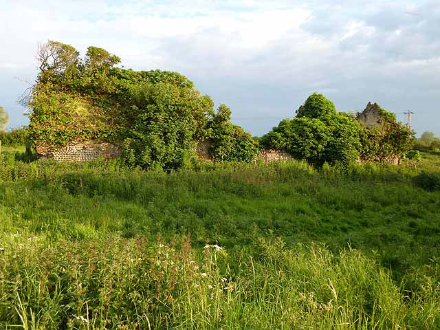
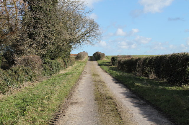
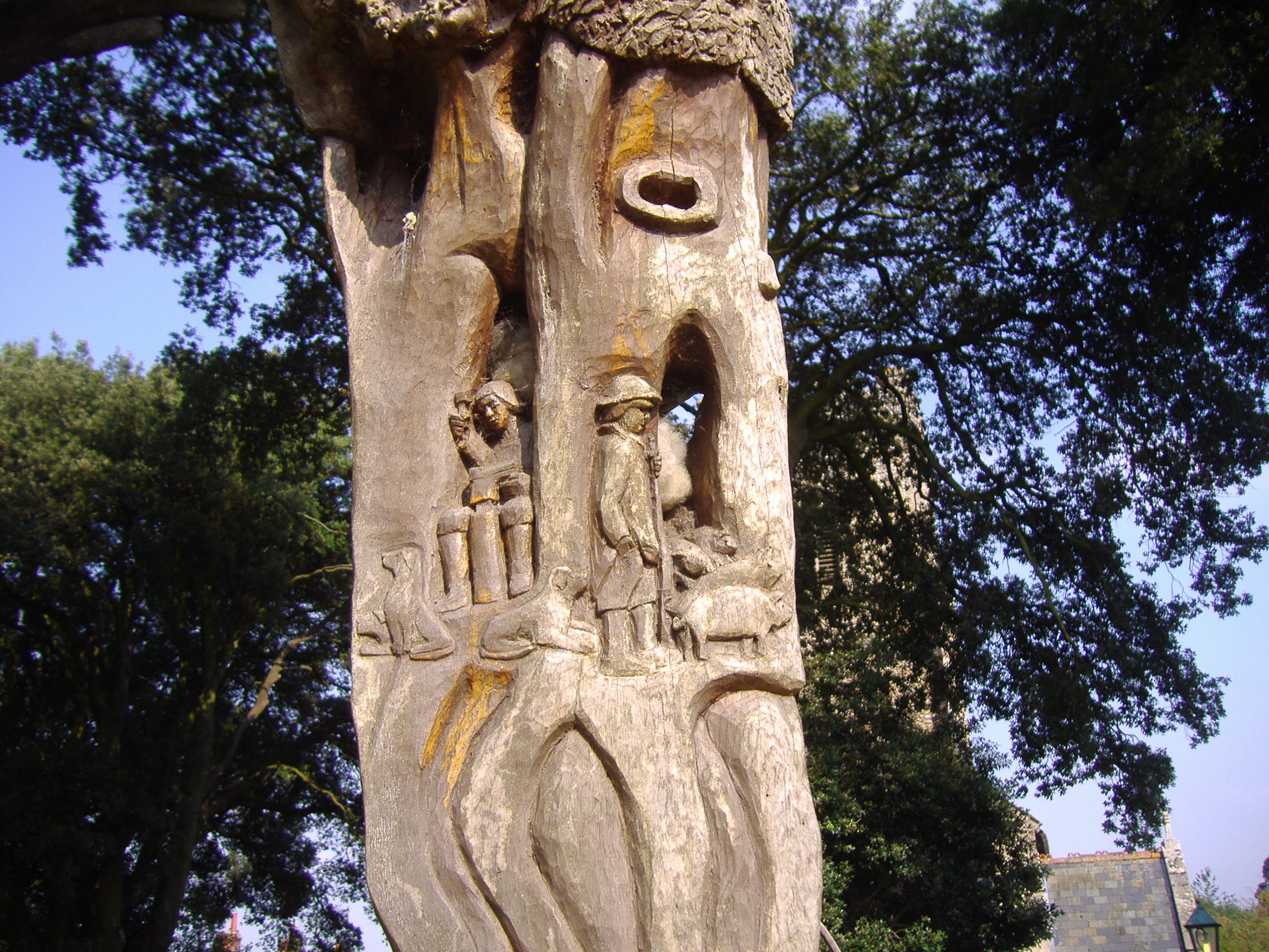
Lambert's Plantation is a historic woodland located in Norfolk, England. Spanning an area of approximately 50 hectares, the plantation is renowned for its rich biodiversity and picturesque landscapes. The plantation is primarily composed of mature broadleaf trees, including oak, beech, and birch, which provide shelter and habitat for a wide range of flora and fauna.

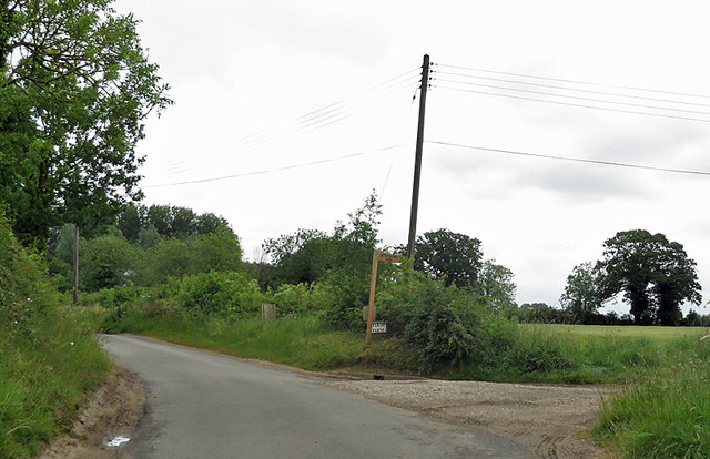
The woodland is crisscrossed by several well-maintained walking trails, allowing visitors to explore its natural beauty at their own pace. These trails wind through dense thickets, open glades, and tranquil ponds, offering a diverse range of habitats to discover. Nature enthusiasts can observe a variety of bird species, including woodpeckers, buzzards, and owls, as well as small mammals such as foxes, badgers, and squirrels.

Lambert's Plantation has a rich cultural history, dating back several centuries. It was originally part of an estate owned by the Lambert family, who managed the land for timber production. Today, the woodland is managed by a local conservation organization, which strives to preserve its ecological integrity while also providing educational opportunities for visitors.

In addition to its natural beauty, Lambert's Plantation offers various amenities for visitors. These include picnic areas, benches, and information boards detailing the history and wildlife of the area. The woodland is easily accessible by car and public transport, with ample parking available nearby.

Overall, Lambert's Plantation is a cherished natural and historical gem in Norfolk, attracting nature lovers, hikers, and those seeking a peaceful retreat in the heart of nature.

If you have any feedback on the listing, please let us know in the comments section below.

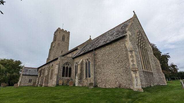
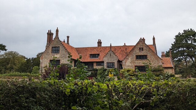
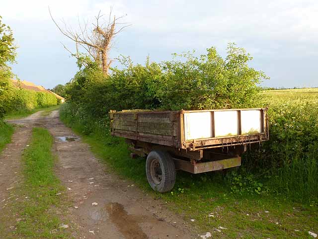
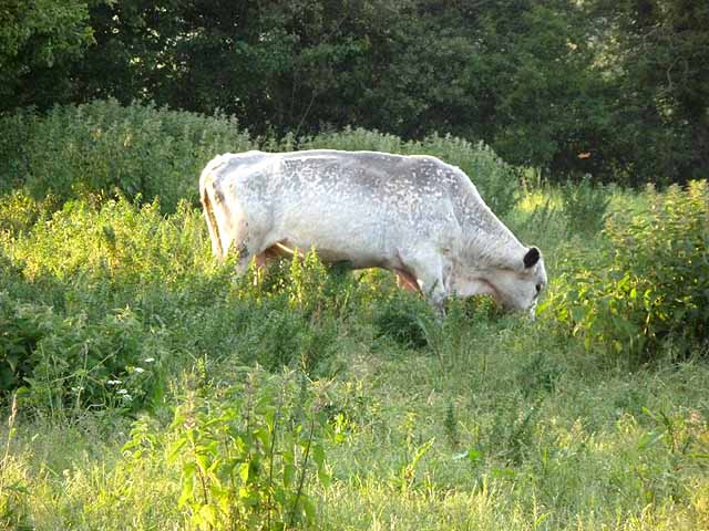
Lambert's Plantation Images

Images are sourced within 2km of 52.894878/0.96844786 or Grid Reference TF9937. Thanks to Geograph Open Source API. All images are credited.

Church of St Martin, Hindringham <span class="nowrap"><a title="https://historicengland.org.uk/listing/the-list/list-entry/1049373?section=official-list-entry" rel="nofollow ugc noopener" href="https://historicengland.org.uk/listing/the-list/list-entry/1049373?section=official-list-entry">Link</a><img style="margin-left:2px;" alt="External link" title="External link - shift click to open in new window" src="https://s1.geograph.org.uk/img/external.png" width="10" height="10"/></span>
Church of St Martin, Hindringham
Hindringham Hall <span class="nowrap"><a title="https://historicengland.org.uk/listing/the-list/list-entry/1373727?section=official-list-entry" rel="nofollow ugc noopener" href="https://historicengland.org.uk/listing/the-list/list-entry/1373727?section=official-list-entry">Link</a><img style="margin-left:2px;" alt="External link" title="External link - shift click to open in new window" src="https://s1.geograph.org.uk/img/external.png" width="10" height="10"/></span>
Hindringham Hall
Farm road and trailer, Field Dalling
White bull at Field Dalling Possibly a British White; not, I think, a Charollais. The inside of the ears are dark, which is a distinctive feature of the breed. In a field with several cows.
White bull at Field Dalling
Possibly a British White; not, I think, a Charollais. The inside of the ears are dark, which is a distinctive feature of the breed. In a field with several cows.
Ruined farm building, Field Dalling
Cross roads near Bale On the edge of Bale village. Bale church can be seen in the distance <a href="https://www.geograph.org.uk/gridref/TG0136">TG0136</a>.
Cross roads near Bale
On the edge of Bale village. Bale church can be seen in the distance TG0136.
Speed limit warning sign, entering Bale village At the approach to many of the villages in Norfolk there are electronic speed limit warning signs which flash if approaching motorists are exceeding 30mph.
Speed limit warning sign, entering Bale village
At the approach to many of the villages in Norfolk there are electronic speed limit warning signs which flash if approaching motorists are exceeding 30mph.
Roadside house near Bale Hall House of traditional construction.
Roadside house near Bale Hall
House of traditional construction.
A148 westbound near Bale
A148 westbound at filling station near Rectory Farm
Filling station by the A148 The A148 runs 44 miles from King's Lynn to Cromer. It is entirely within Norfolk. <span class="nowrap"><a title="http://www.sabre-roads.org.uk/wiki/index.php?title=A148" rel="nofollow ugc noopener" href="http://www.sabre-roads.org.uk/wiki/index.php?title=A148">Link</a><img style="margin-left:2px;" alt="External link" title="External link - shift click to open in new window" src="https://s1.geograph.org.uk/img/external.png" width="10" height="10"/></span>
Filling station by the A148
The A148 runs 44 miles from King's Lynn to Cromer. It is entirely within Norfolk. LinkExternal link
Farm track off Field Dalling Road
Sign to Little Marsh Lane Entrance to Marsh Farm from Binham Road.
Sign to Little Marsh Lane
Entrance to Marsh Farm from Binham Road.
Clipstreet Farm Between Field Dalling and Bale.
Clipstreet Farm
Between Field Dalling and Bale.
Bale War Memorial Bale War Memorial is of timber construction and hangs in the church. It bears twelve names of the men lost in WW1 and a single name of the man lost in WW2 at the bottom.
Bale War Memorial
Bale War Memorial is of timber construction and hangs in the church. It bears twelve names of the men lost in WW1 and a single name of the man lost in WW2 at the bottom.
All Saints, Bale
All Saints, Bale
All Saints, Bale
All Saints, Bale
All Saints, Bale
All Saints, Bale
Show me another place!

Lambert's Plantation is located at Grid Ref: TF9937 (Lat: 52.894878, Lng: 0.96844786)

Administrative County: Norfolk

District: North Norfolk

Police Authority: Norfolk

What 3 Words

///chatters.professes.snooze. Near Briston, Norfolk

Related Wikis

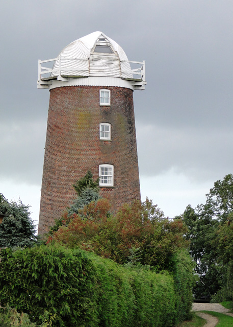
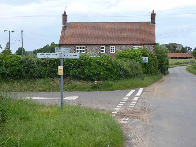
Lower Green Mill, Hindringham

Lower Green Mill is a tower mill at Lower Green, located to the north of the village of Hindringham in the English county of Norfolk. The mill stands on...

Bale Oak

The Bale Oak was a large oak tree in Bale, a village in northern Norfolk, England that was over 500 years old when it was felled in 1860. It measured 36...
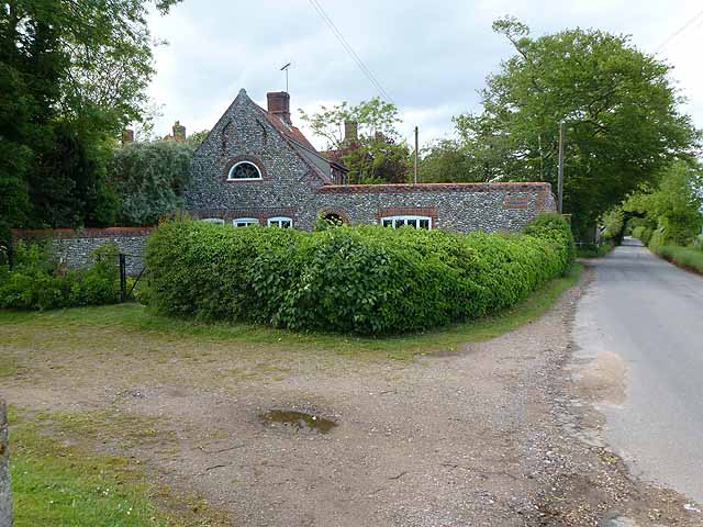
Bale, Norfolk

Bale is a village and former civil parish, now in the parish of Gunthorpe, in the North Norfolk district, in the county of Norfolk, England. The village...

Hindringham

Hindringham is a village and a civil parish in the English county of Norfolk. The village is 8.5 miles (13.7 km) north east of the town of Fakenham, 16...

Have you been to Lambert's Plantation?

Leave your review of Lambert's Plantation below (or comments, questions and feedback).