Gaston's Plantation

Wood, Forest in Norfolk North Norfolk

England

Gaston's Plantation

Church of St Martin, Hindringham <span class="nowrap"><a title="https://historicengland.org.uk/listing/the-list/list-entry/1049373?section=official-list-entry" rel="nofollow ugc noopener" href="https://historicengland.org.uk/listing/the-list/list-entry/1049373?section=official-list-entry">Link</a><img style="margin-left:2px;" alt="External link" title="External link - shift click to open in new window" src="https://s1.geograph.org.uk/img/external.png" width="10" height="10"/></span>
Church of St Martin, Hindringham Credit: Sandy Gerrard

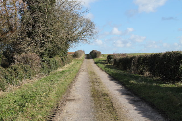
Gaston's Plantation, nestled in Norfolk, is a picturesque woodland area known for its lush greenery and tranquil atmosphere. Covering a vast expanse of land, the plantation is a haven for nature enthusiasts and those seeking solace amidst the beauty of nature.

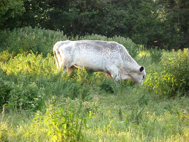
The plantation is primarily composed of dense forests, filled with a diverse range of tree species, including oaks, pines, maples, and birches. These towering trees create a majestic canopy, providing shade and shelter for the various wildlife that call Gaston's Plantation their home. The forest floor is carpeted with a vibrant array of ferns, wildflowers, and mosses, adding to the enchanting ambiance of the area.

The plantation boasts several walking trails, allowing visitors to explore the woodlands at their own pace. These trails wind through the forest, offering scenic views of bubbling brooks, small ponds, and occasional clearings that provide glimpses of the surrounding landscape. The peacefulness of the plantation is often interrupted by the sweet melodies of birds chirping and the rustling of leaves as small animals scurry about.

Gaston's Plantation is also a popular destination for outdoor activities such as birdwatching, photography, and picnicking. The diverse bird population attracts avid birdwatchers who can spot species like woodpeckers, owls, and various migratory birds. The plantation provides a tranquil setting for photographers, with plenty of opportunities to capture the beauty of nature.

Overall, Gaston's Plantation in Norfolk is a serene and captivating woodland retreat, offering visitors the chance to immerse themselves in the beauty of nature and find respite from the hustle and bustle of everyday life.

If you have any feedback on the listing, please let us know in the comments section below.

Gaston's Plantation Images

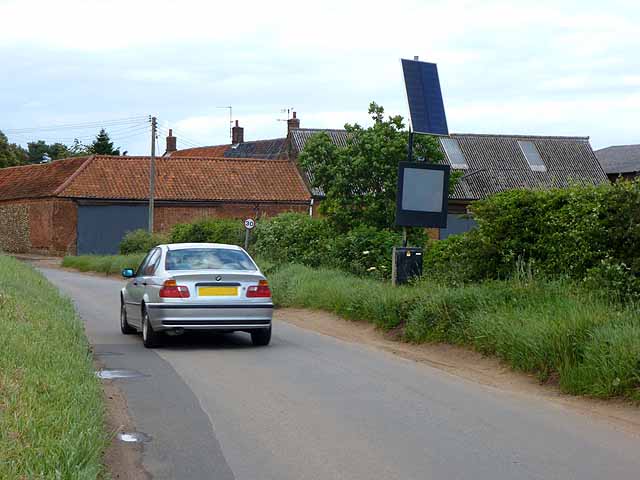
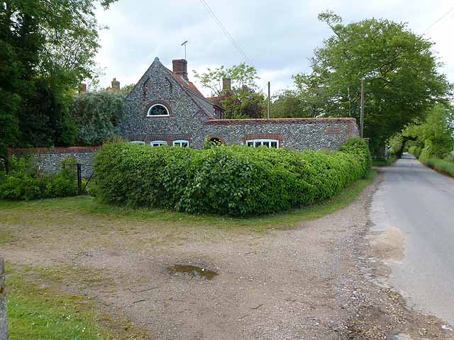
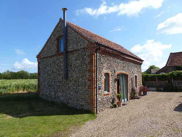
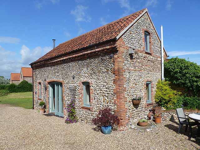
Images are sourced within 2km of 52.896659/0.96807891 or Grid Reference TF9937. Thanks to Geograph Open Source API. All images are credited.

Church of St Martin, Hindringham <span class="nowrap"><a title="https://historicengland.org.uk/listing/the-list/list-entry/1049373?section=official-list-entry" rel="nofollow ugc noopener" href="https://historicengland.org.uk/listing/the-list/list-entry/1049373?section=official-list-entry">Link</a><img style="margin-left:2px;" alt="External link" title="External link - shift click to open in new window" src="https://s1.geograph.org.uk/img/external.png" width="10" height="10"/></span>
Church of St Martin, Hindringham
Farm road and trailer, Field Dalling
White bull at Field Dalling Possibly a British White; not, I think, a Charollais. The inside of the ears are dark, which is a distinctive feature of the breed. In a field with several cows.
White bull at Field Dalling
Possibly a British White; not, I think, a Charollais. The inside of the ears are dark, which is a distinctive feature of the breed. In a field with several cows.
Ruined farm building, Field Dalling
Cottages at Field Dalling Two cottages of traditional Norfolk construction in the village centre.
Cottages at Field Dalling
Two cottages of traditional Norfolk construction in the village centre.
Jolly Farmers, Langham Road, Field Dalling Possibly an old pub. The Old Bakehouse stands at the far end of the row.
Jolly Farmers, Langham Road, Field Dalling
Possibly an old pub. The Old Bakehouse stands at the far end of the row.
The Old Bakehouse, Langham Road, Field Dalling The Jolly Farmers stands at the far end of the row.
The Old Bakehouse, Langham Road, Field Dalling
The Jolly Farmers stands at the far end of the row.
Cross roads near Bale On the edge of Bale village. Bale church can be seen in the distance <a href="https://www.geograph.org.uk/gridref/TG0136">TG0136</a>.
Cross roads near Bale
On the edge of Bale village. Bale church can be seen in the distance TG0136.
Speed limit warning sign, entering Bale village At the approach to many of the villages in Norfolk there are electronic speed limit warning signs which flash if approaching motorists are exceeding 30mph.
Speed limit warning sign, entering Bale village
At the approach to many of the villages in Norfolk there are electronic speed limit warning signs which flash if approaching motorists are exceeding 30mph.
Roadside house near Bale Hall House of traditional construction.
Roadside house near Bale Hall
House of traditional construction.
Little Barn, Field Dalling A derelict old barn was imaginatively restored to create an excellent self-catering cottage.
Little Barn, Field Dalling
A derelict old barn was imaginatively restored to create an excellent self-catering cottage.
Little Barn, Field Dalling A derelict old barn was imaginatively restored to create an excellent self-catering cottage.
Little Barn, Field Dalling
A derelict old barn was imaginatively restored to create an excellent self-catering cottage.
A148 westbound at filling station near Rectory Farm
Filling station by the A148 The A148 runs 44 miles from King's Lynn to Cromer. It is entirely within Norfolk. <span class="nowrap"><a title="http://www.sabre-roads.org.uk/wiki/index.php?title=A148" rel="nofollow ugc noopener" href="http://www.sabre-roads.org.uk/wiki/index.php?title=A148">Link</a><img style="margin-left:2px;" alt="External link" title="External link - shift click to open in new window" src="https://s1.geograph.org.uk/img/external.png" width="10" height="10"/></span>
Filling station by the A148
The A148 runs 44 miles from King's Lynn to Cromer. It is entirely within Norfolk. LinkExternal link
Farm track off Field Dalling Road
Sign to Little Marsh Lane Entrance to Marsh Farm from Binham Road.
Sign to Little Marsh Lane
Entrance to Marsh Farm from Binham Road.
Clipstreet Farm Between Field Dalling and Bale.
Clipstreet Farm
Between Field Dalling and Bale.
Crossroads in Field Dalling
Show me another place!

Gaston's Plantation is located at Grid Ref: TF9937 (Lat: 52.896659, Lng: 0.96807891)

Administrative County: Norfolk

District: North Norfolk

Police Authority: Norfolk

What 3 Words

///grazed.ranged.clocking. Near Briston, Norfolk

Related Wikis

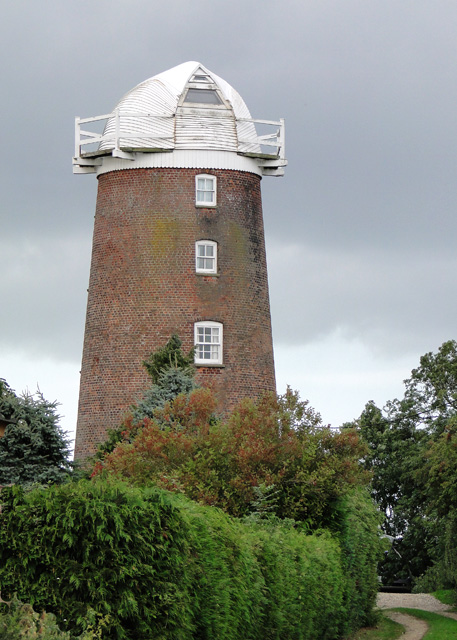
Lower Green Mill, Hindringham

Lower Green Mill is a tower mill at Lower Green, located to the north of the village of Hindringham in the English county of Norfolk. The mill stands on...
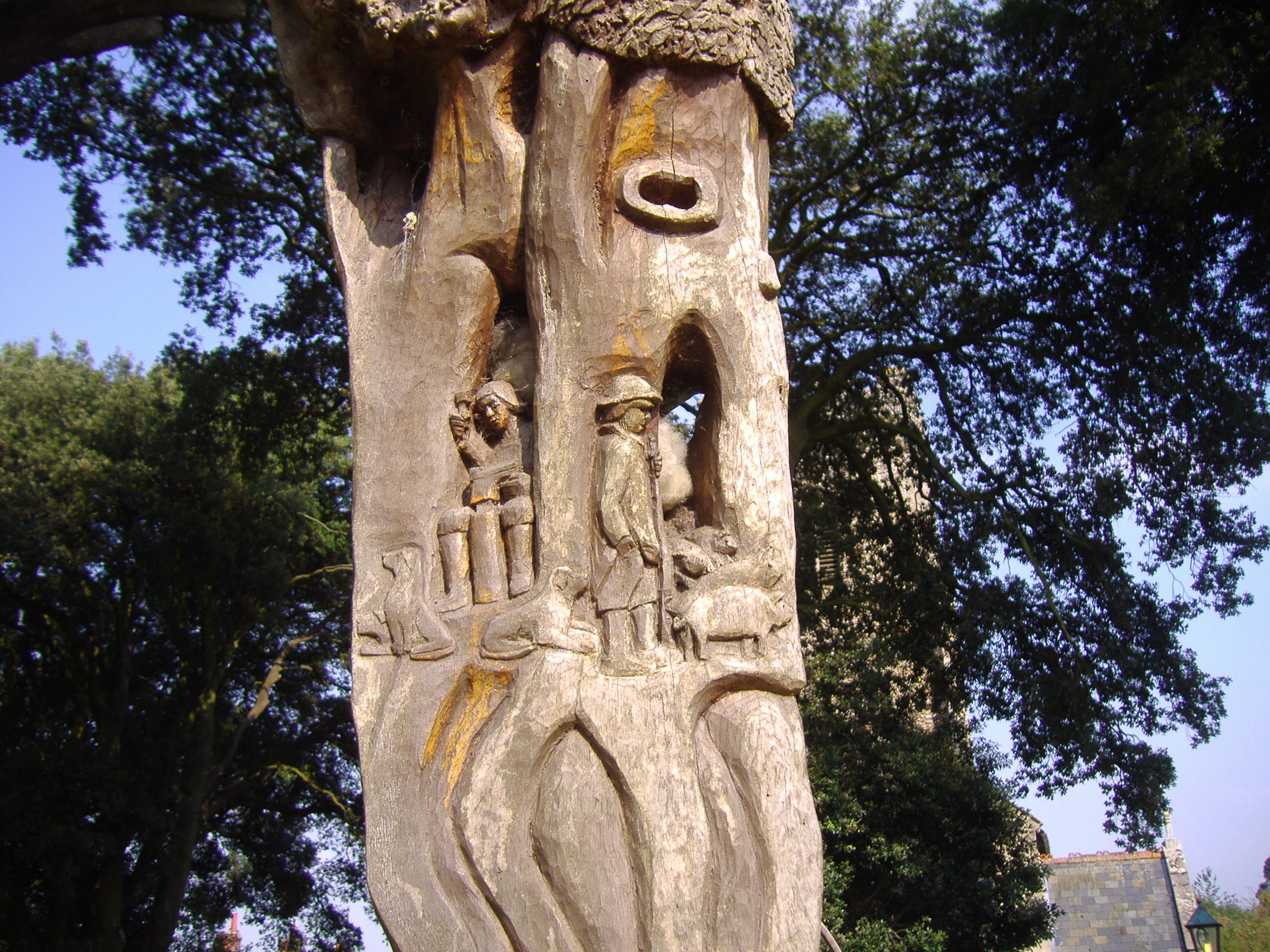
Bale Oak

The Bale Oak was a large oak tree in Bale, a village in northern Norfolk, England that was over 500 years old when it was felled in 1860. It measured 36...

Bale, Norfolk

Bale is a village and former civil parish, now in the parish of Gunthorpe, in the North Norfolk district, in the county of Norfolk, England. The village...

Hindringham

Hindringham is a village and a civil parish in the English county of Norfolk. The village is 8.5 miles (13.7 km) north east of the town of Fakenham, 16...

Have you been to Gaston's Plantation?

Leave your review of Gaston's Plantation below (or comments, questions and feedback).