Alder Carr

Wood, Forest in Norfolk Breckland

England

Alder Carr

St. John's Covert
St. John's Covert Credit: P Gaskell

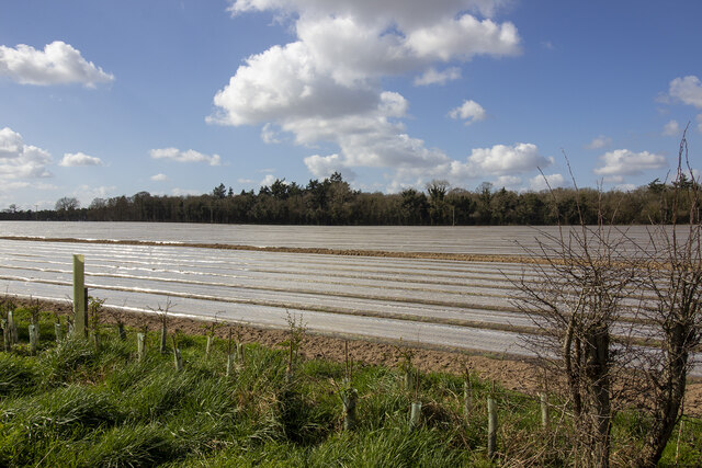
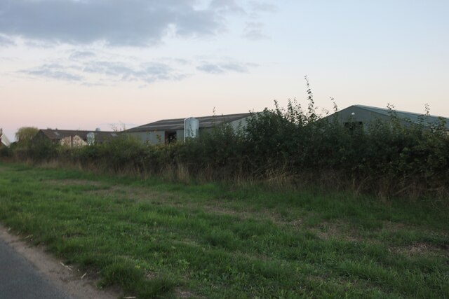
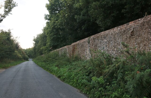
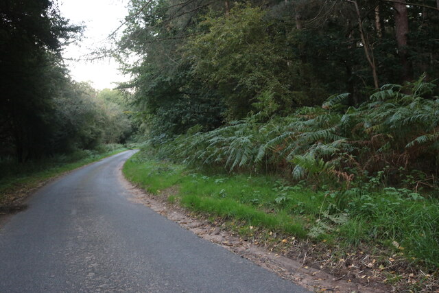
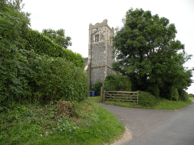
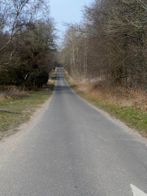
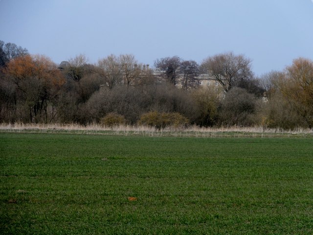
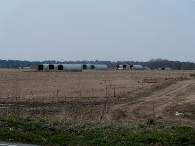
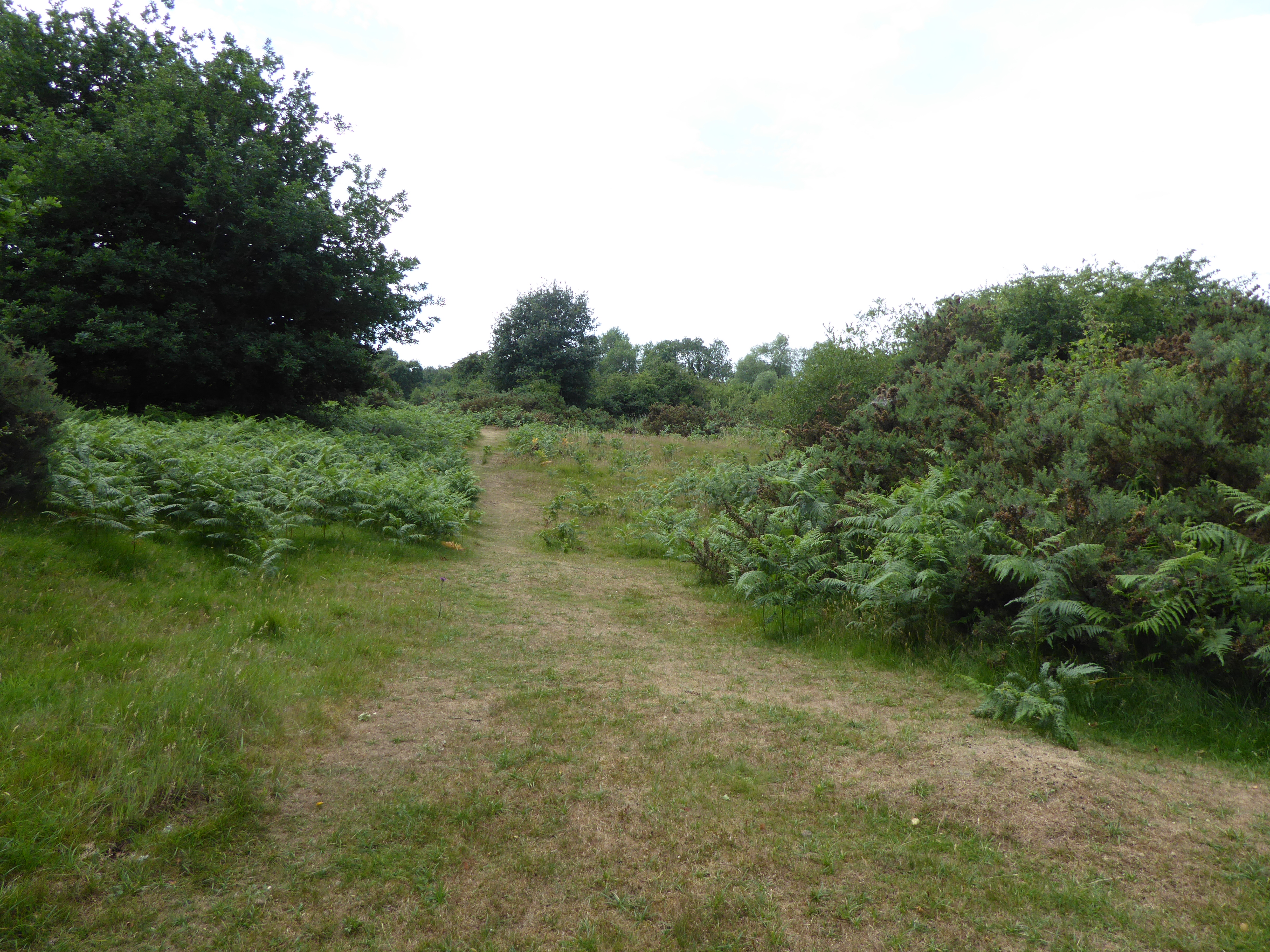
Alder Carr, located in Norfolk, England, is a picturesque wood or forest consisting mainly of alder trees. Spanning over a vast area, this natural habitat is known for its diverse ecosystem and serene atmosphere. The wood is situated in a low-lying area, with streams and wetlands interlacing through the landscape, creating a unique and thriving environment.

The dominant feature of this woodland is the alder tree, which is a deciduous tree native to the area. Alder trees are known for their ability to tolerate wet soil conditions, making them well-suited to the damp environment of Alder Carr. The forest floor is carpeted with a lush variety of undergrowth, including ferns, mosses, and wildflowers, which flourish in the damp conditions provided by the alder trees.

The wetlands within Alder Carr are a haven for a wide range of flora and fauna. The wetland plants, such as reeds and sedges, provide a habitat for numerous species of birds, amphibians, and insects. The area is particularly renowned for its bird population, with several rare and protected species making it their home. Birdwatchers often flock to Alder Carr to catch a glimpse of these beautiful and elusive creatures.

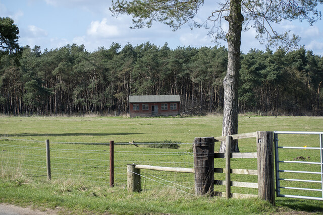
The wood is also a popular destination for outdoor enthusiasts and nature lovers, offering several walking and hiking trails. These trails meander through the woodland, allowing visitors to immerse themselves in the tranquility of the forest and observe the diverse wildlife. Alder Carr truly offers a unique and enchanting experience, providing a peaceful retreat from the hustle and bustle of everyday life.

If you have any feedback on the listing, please let us know in the comments section below.
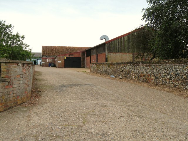
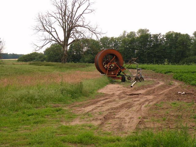
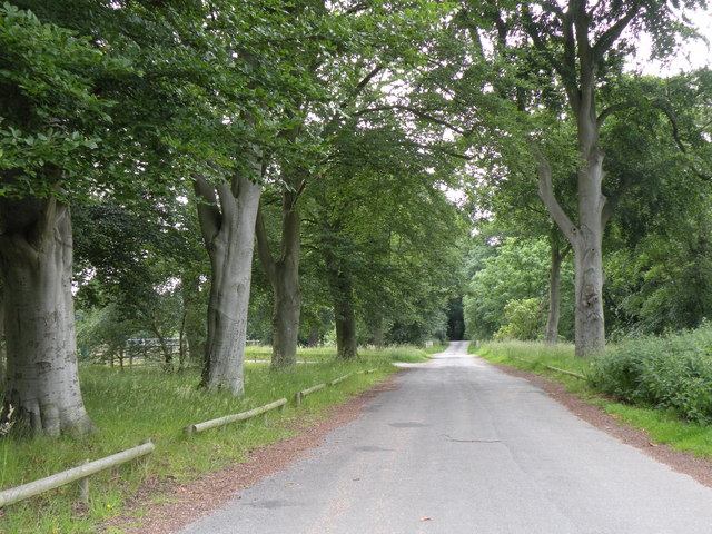
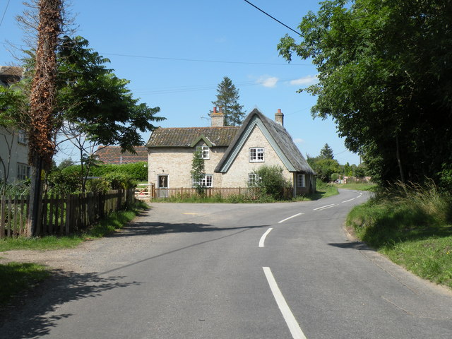
Alder Carr Images

Images are sourced within 2km of 52.387165/0.90045746 or Grid Reference TL9780. Thanks to Geograph Open Source API. All images are credited.

St. John's Covert
St. John's Covert
Pavilion at School Plantation
Minor road from Gasthorpe
Red telephone box on The Street, Gasthorpe
Hall Farm, Knettishall
Nethergate Street, Knettishall
Norwich Lane, Knettishall On Knettishall Heath
Norwich Lane, Knettishall
On Knettishall Heath
The tower of Knettishall church This used to be All Saints, the parish church of Knettishall.  During the early part of the 20th century it fell into disuse and dereliction and has since been converted into a private dwelling.
The tower of Knettishall church
This used to be All Saints, the parish church of Knettishall. During the early part of the 20th century it fell into disuse and dereliction and has since been converted into a private dwelling.
Part of Hall Farm
Part of Hall Farm
Farmland near Knettishall
Angles Way, by Knettishall Heath Country Park
Cottages in Gasthorpe village
Long straight stretch of Norwich Lane through Knettishall Heath
Riddlesworth Hall School hiding behind trees
All Saints Church Knettishall The church is a semi-ruin.
All Saints Church Knettishall
The church is a semi-ruin.
House at junction, Knettishall
Pig sties
Pig sties
Riddlesworth Hall
Riddlesworth Hall
Show me another place!

Alder Carr is located at Grid Ref: TL9780 (Lat: 52.387165, Lng: 0.90045746)

Administrative County: Norfolk

District: Breckland

Police Authority: Norfolk

What 3 Words

///bats.undercuts.outer. Near East Harling, Norfolk
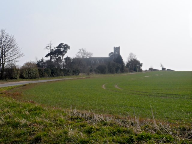
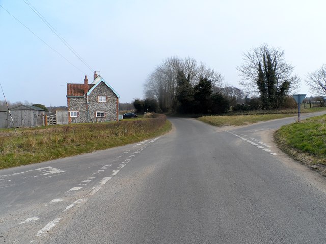
Related Wikis

Knettishall

Knettishall is a village and civil parish in the West Suffolk district of Suffolk in eastern England. Located on the south bank of the River Little Ouse...
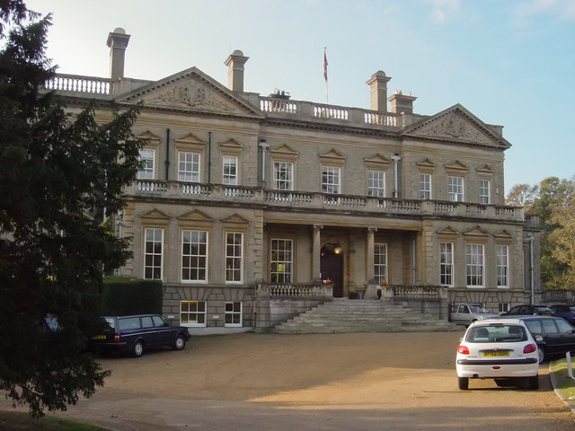
Riddlesworth Hall

Riddlesworth Hall is a country house, and was formerly used as a boarding school. It is located in Riddlesworth, Norfolk, England. == History == It was...

RAF Knettishall

RAF Knettishall is a former World War II airfield in Suffolk. During the conflict, it was numbered as Station 136 by the United States Army Air Forces...

Hopton Fen

Hopton Fen is a 15.3-hectare (38-acre) biological Site of Special Scientific Interest north of Hopton in Suffolk. It is managed by the Suffolk Wildlife...

Riddlesworth

Riddlesworth is a civil parish in the English county of Norfolk. It covers an area of 8.26 km2 (3.19 sq mi) and had a population of 147 in 48 households...

Roman Catholic Diocese of East Anglia

The Diocese of East Anglia (Latin: Dioecesis Angliae Orientalis) is a Latin diocese of the Catholic Church covering the counties of Cambridgeshire, Norfolk...

Weston Fen, Suffolk

Weston Fen is a 49.7-hectare (123-acre) biological Site of Special Scientific Interest in Hopton in Suffolk. It is part of the Waveney and Little Ouse...

Knettishall Heath

Knettishall Heath is a 91.7-hectare (227-acre) biological Site of Special Scientific Interest west of Knettishall in Suffolk. A larger area of 176 hectares...

Nearby Amenities

Located within 500m of 52.387165,0.90045746
Gasthorpe
Created By: POI Editor
Place: hamlet
Source: npe
Lat/Long: 52.3902187/0.9032085
Bus Stop
Post Box Cottages
Bus: yes
Naptan AtcoCode: 390050016
Naptan Bearing: N
Naptan CommonName: Post Box Cottages
Naptan Indicator: opp
Naptan Landmark: Church Corner
Naptan NaptanCode: sufgdamt
Naptan Street: Norwich Lane
Public Transport: platform
Source: naptan_import
Lat/Long: 52.3863232/0.8976203
Post Box Cottages
Naptan AtcoCode: 390050017
Naptan Bearing: S
Naptan BusStopType: CUS
Naptan CommonName: Post Box Cottages
Naptan Indicator: adj
Naptan Landmark: Church Corner
Naptan NaptanCode: sufgdamw
Naptan Street: Norwich Lane
Naptan Verified: no
Source: naptan_import
Lat/Long: 52.3867155/0.8975996
Bus Stop
Lodge Lane
Naptan AtcoCode: 2900R071
Naptan Bearing: SW
Naptan BusStopType: CUS
Naptan CommonName: Lodge Lane
Naptan Indicator: adj
Naptan Landmark: The Old Post Office
Naptan Latitude: 52.3903989
Naptan Locality: Gasthorpe
Naptan Longitude: 0.9032504
Naptan NaptanCode: nfodpjgj
Naptan Street: The Street
Source: naptan_import;survey
Lat/Long: 52.3910449/0.9034615
Bus Stop
Lodge Lane
Naptan AtcoCode: 2900R073
Naptan Bearing: SW
Naptan BusStopType: CUS
Naptan CommonName: Lodge Lane
Naptan Indicator: opp
Naptan Landmark: The Old Post Office
Naptan Latitude: 52.3904905
Naptan Locality: Gasthorpe
Naptan Longitude: 0.9031829
Naptan NaptanCode: nfodpjgp
Naptan Street: The Street
Source: naptan_import;survey
Lat/Long: 52.3910645/0.9033704
Telephone
Booth: K6
Covered: booth
Listed Status: Grade II
Lat/Long: 52.3904106/0.903266
Post Box
Collection Times: Mo-Fr 15:20; Sa 10:15
Operator: Royal Mail
Post Box Type: lamp
Ref: IP22 7027
Royal Cypher: EIIR
Royal Cypher Wikidata: Q33102113
Lat/Long: 52.3904161/0.9032878
Pipeline: marker
Ref: 00019
Substance: oil
Lat/Long: 52.3872289/0.8947192
Pipeline: marker
Ref: 00020
Substance: oil
Lat/Long: 52.3872782/0.8948682
Post Box
Collection Times: Mo-Fr 09:00; Sa 07:00
Note: In wall of private house, away from road
Operator: Royal Mail
Operator Wikidata: Q638098
Post Box Mounting: building
Post Box Type: wall
Ref: IP22 7114D
Royal Cypher: VR
Royal Cypher Wikidata: Q33102356
Lat/Long: 52.386428/0.8980358
Pipeline: marker
Source: Bing;observation
Lat/Long: 52.3881241/0.8975677
Pipeline: marker
Ref: 00018
Substance: oil
Lat/Long: 52.3872413/0.8947405
Pipeline: marker
Source: Bing;observation
Lat/Long: 52.388196/0.897679
Pipeline: marker
Ref: 00028
Lat/Long: 52.3909692/0.9009779
Pipeline: marker
Ref: 00026
Lat/Long: 52.3909068/0.9009164
Pipeline: marker
Ref: 00029
Lat/Long: 52.3909526/0.9009645
Pipeline: marker
Source: Bing;observation
Lat/Long: 52.3894398/0.8991999
Board Type: notice
Information: board
Tourism: information
Lat/Long: 52.3904802/0.9033895
Disused Amenity: post_box
Post Box Mounting: building
Post Box Type: wall
Royal Cypher: VR
Lat/Long: 52.3904194/0.9031314
The data included in this document is from www.openstreetmap.org. The data is made available under ODbL.

Have you been to Alder Carr?

Leave your review of Alder Carr below (or comments, questions and feedback).