Gasthorpe

Settlement in Norfolk Breckland

England

Gasthorpe

Outdoor pig rearing Outdoor pig rearing off The Street
Outdoor pig rearing Credit: P Gaskell

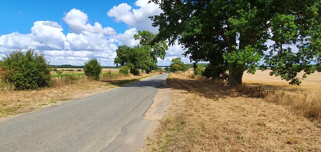
Gasthorpe is a small village located in the county of Norfolk, England. Situated approximately 4 miles southwest of Diss, the village lies in a predominantly rural area, surrounded by picturesque countryside and farmland.

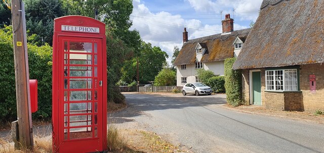
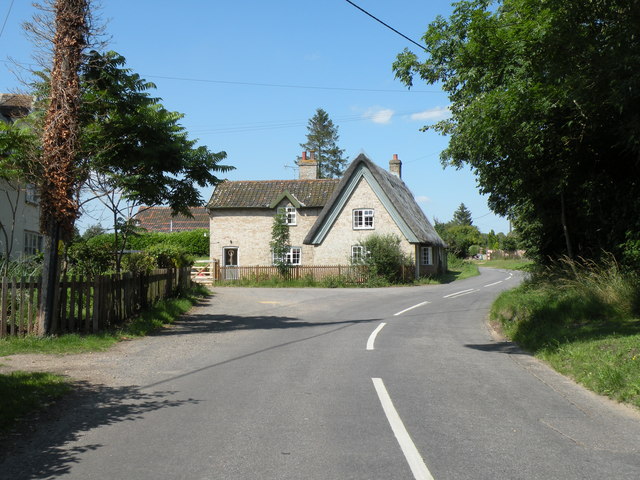
With a population of around 100 residents, Gasthorpe is a close-knit community characterized by its peaceful and tranquil atmosphere. The village is primarily residential, consisting of charming cottages and houses, some of which date back several centuries.

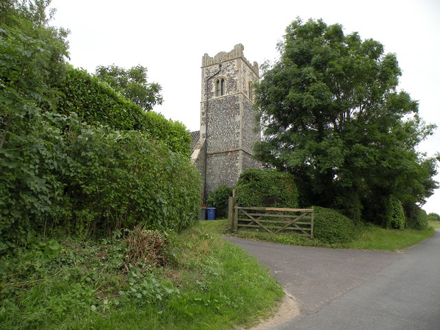
Gasthorpe is well-known for its beautiful parish church, St. Nicholas Church, which stands at the heart of the village. This historic building showcases stunning architectural features, including a medieval tower and intricate stained glass windows.

Although there are limited amenities within the village itself, Gasthorpe benefits from its close proximity to nearby towns and villages. Residents have easy access to Diss, where they can find a wider range of services, including shops, supermarkets, schools, and healthcare facilities.

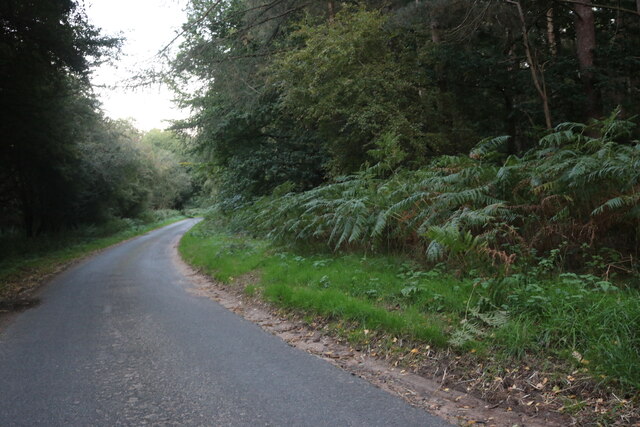
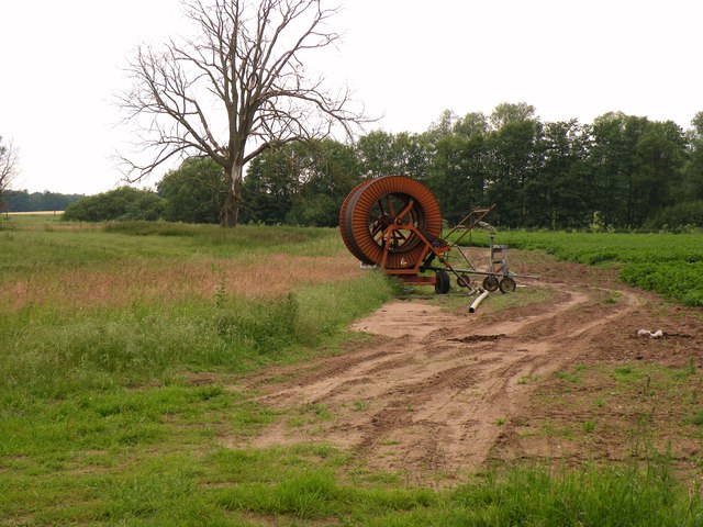
The surrounding countryside offers plenty of opportunities for outdoor activities, such as hiking, cycling, and wildlife spotting. The village is also conveniently located near the Norfolk Broads, a popular tourist destination known for its network of rivers, lakes, and wetlands.

In summary, Gasthorpe is a charming and peaceful village nestled in the Norfolk countryside. With its historic church and close-knit community, it offers a serene and idyllic lifestyle for its residents.

If you have any feedback on the listing, please let us know in the comments section below.
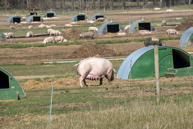
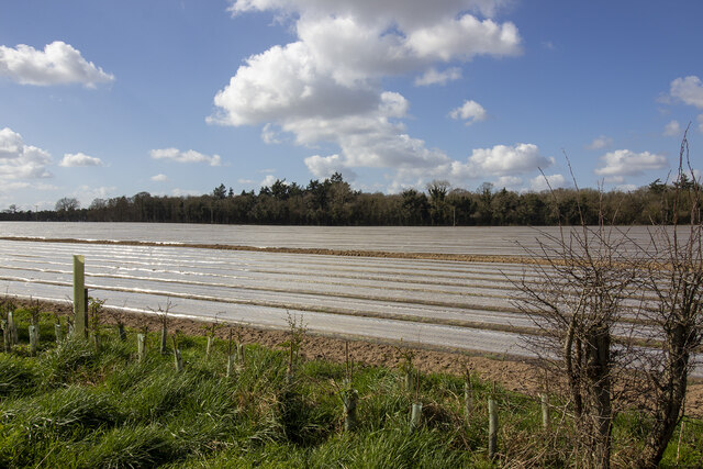
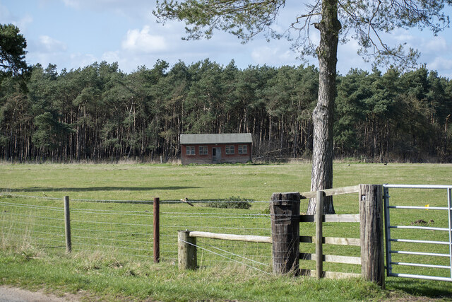
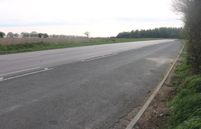
Gasthorpe Images

Images are sourced within 2km of 52.390463/0.904147 or Grid Reference TL9780. Thanks to Geograph Open Source API. All images are credited.

Outdoor pig rearing Outdoor pig rearing off The Street
Outdoor pig rearing
Outdoor pig rearing off The Street
St. John's Covert
St. John's Covert
Pavilion at School Plantation
Layby on Thetford Road, Garboldisham
Minor road from Gasthorpe
Red telephone box on The Street, Gasthorpe
Hall Farm, Knettishall
Nethergate Street, Knettishall
Norwich Lane, Knettishall On Knettishall Heath
Norwich Lane, Knettishall
On Knettishall Heath
Fen Street
Fen Street
Fen Street, Hopton
Fen Street, Hopton
Cottage on Nethergate Street, Hopton
Do not enter There are three of these stopping vehicles entering the field. Maybe they had a bad experience.
Do not enter
There are three of these stopping vehicles entering the field. Maybe they had a bad experience.
Nethergate Street, Hopton
The tower of Knettishall church This used to be All Saints, the parish church of Knettishall.  During the early part of the 20th century it fell into disuse and dereliction and has since been converted into a private dwelling.
The tower of Knettishall church
This used to be All Saints, the parish church of Knettishall. During the early part of the 20th century it fell into disuse and dereliction and has since been converted into a private dwelling.
Part of Hall Farm
Part of Hall Farm
Farmland near Knettishall
Cottages in Gasthorpe village
Show me another place!

Gasthorpe is located at Grid Ref: TL9780 (Lat: 52.390463, Lng: 0.904147)

Administrative County: Norfolk

District: Breckland

Police Authority: Norfolk

What 3 Words

///bend.approve.swerving. Near East Harling, Norfolk

Related Wikis

Knettishall

Knettishall is a village and civil parish in the West Suffolk district of Suffolk in eastern England. Located on the south bank of the River Little Ouse...

Riddlesworth Hall

Riddlesworth Hall is a country house, and was formerly used as a boarding school. It is located in Riddlesworth, Norfolk, England. == History == It was...

Roman Catholic Diocese of East Anglia

The Diocese of East Anglia (Latin: Dioecesis Angliae Orientalis) is a Latin diocese of the Catholic Church covering the counties of Cambridgeshire, Norfolk...

Riddlesworth

Riddlesworth is a civil parish in the English county of Norfolk. It covers an area of 8.26 km2 (3.19 sq mi) and had a population of 147 in 48 households...

Nearby Amenities

Located within 500m of 52.390463,0.904147
Gasthorpe
Created By: POI Editor
Place: hamlet
Source: npe
Lat/Long: 52.3902187/0.9032085
Bus Stop
Lodge Lane
Naptan AtcoCode: 2900R071
Naptan Bearing: SW
Naptan BusStopType: CUS
Naptan CommonName: Lodge Lane
Naptan Indicator: adj
Naptan Landmark: The Old Post Office
Naptan Latitude: 52.3903989
Naptan Locality: Gasthorpe
Naptan Longitude: 0.9032504
Naptan NaptanCode: nfodpjgj
Naptan Street: The Street
Source: naptan_import;survey
Lat/Long: 52.3910449/0.9034615
Bus Stop
Lodge Lane
Naptan AtcoCode: 2900R073
Naptan Bearing: SW
Naptan BusStopType: CUS
Naptan CommonName: Lodge Lane
Naptan Indicator: opp
Naptan Landmark: The Old Post Office
Naptan Latitude: 52.3904905
Naptan Locality: Gasthorpe
Naptan Longitude: 0.9031829
Naptan NaptanCode: nfodpjgp
Naptan Street: The Street
Source: naptan_import;survey
Lat/Long: 52.3910645/0.9033704
Telephone
Booth: K6
Covered: booth
Listed Status: Grade II
Lat/Long: 52.3904106/0.903266
Post Box
Collection Times: Mo-Fr 15:20; Sa 10:15
Operator: Royal Mail
Post Box Type: lamp
Ref: IP22 7027
Royal Cypher: EIIR
Royal Cypher Wikidata: Q33102113
Lat/Long: 52.3904161/0.9032878
Pipeline: marker
Ref: 00028
Lat/Long: 52.3909692/0.9009779
Pipeline: marker
Ref: 00026
Lat/Long: 52.3909068/0.9009164
Pipeline: marker
Ref: 00029
Lat/Long: 52.3909526/0.9009645
Pipeline: marker
Source: Bing;observation
Lat/Long: 52.3894398/0.8991999
Colour: black
Marker: pipe
Pipeline: marker
Ref: TL98025
Substance: gas
Utility: gas
Lat/Long: 52.3936918/0.9046787
Board Type: notice
Information: board
Tourism: information
Lat/Long: 52.3904802/0.9033895
Disused Amenity: post_box
Post Box Mounting: building
Post Box Type: wall
Royal Cypher: VR
Lat/Long: 52.3904194/0.9031314
Marker: aerial
Utility: gas
Lat/Long: 52.3937018/0.9046879
The data included in this document is from www.openstreetmap.org. The data is made available under ODbL.

Have you been to Gasthorpe?

Leave your review of Gasthorpe below (or comments, questions and feedback).