Knettishall
Settlement in Suffolk West Suffolk
England
Knettishall

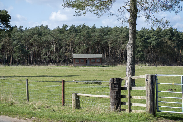
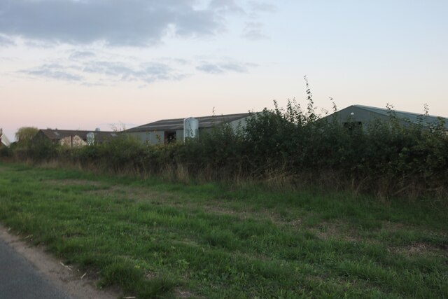
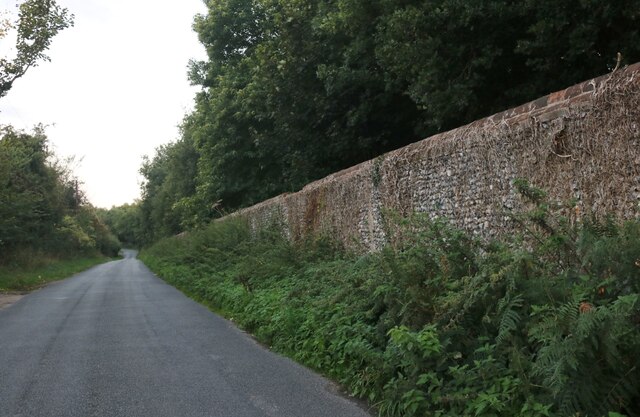
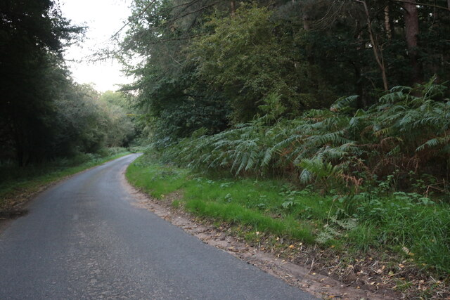
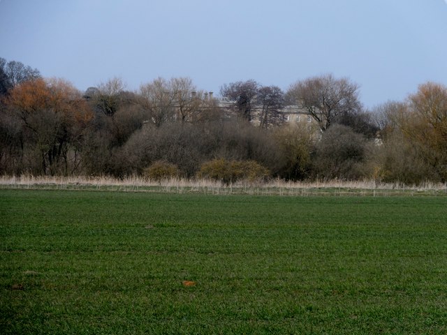
Knettishall is a charming village located in the county of Suffolk, England. Situated near the border with Norfolk, it lies within the Breckland District and is surrounded by beautiful countryside. The village is nestled in the heart of Thetford Forest, one of Britain's largest lowland forests, offering residents and visitors alike a wealth of outdoor activities and picturesque landscapes.
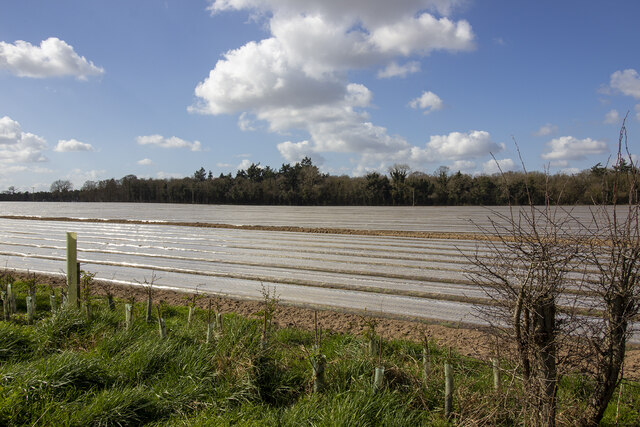
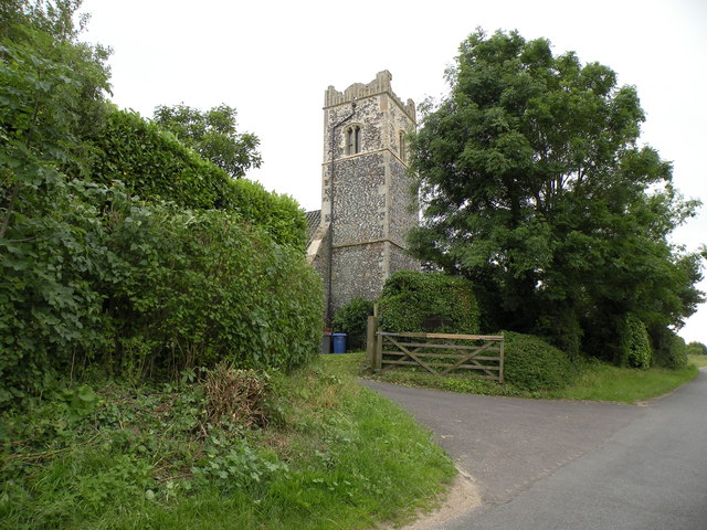
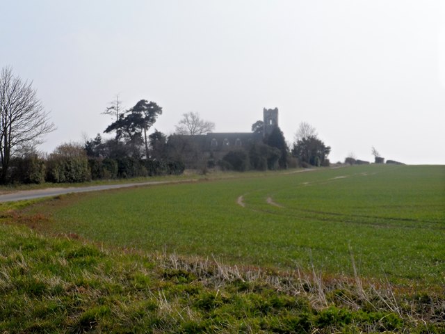
Knettishall boasts a rich history dating back to medieval times. The village is home to St. Andrew's Church, a Grade I listed building that dates back to the 14th century and features stunning architectural details. Additionally, the area is known for Knettishall Heath, a designated Site of Special Scientific Interest (SSSI) that encompasses 250 acres of heathland and woodland. This diverse habitat supports a wide range of flora and fauna, making it a popular spot for nature enthusiasts.
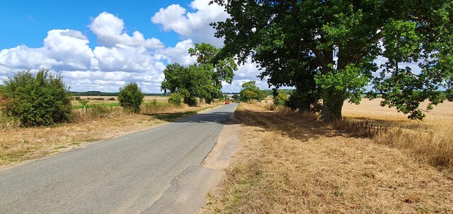
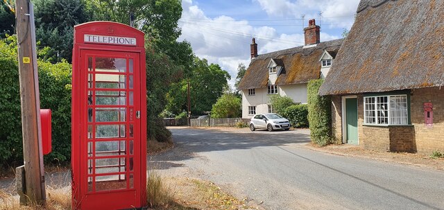
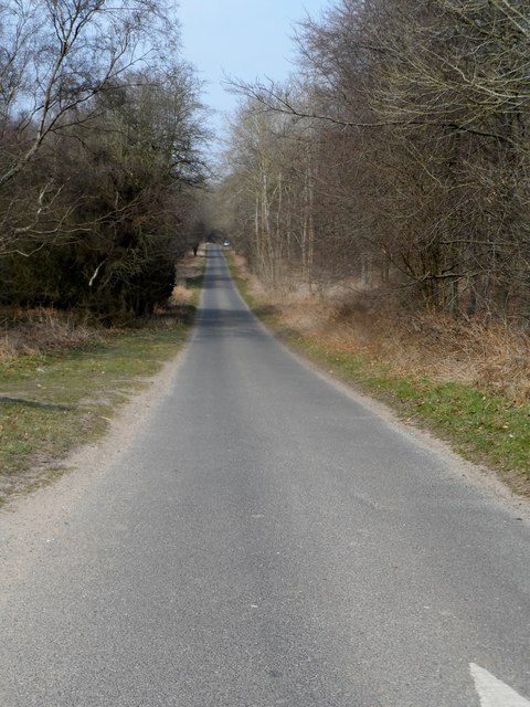
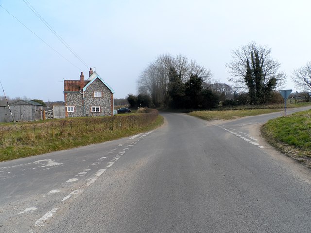
The village itself is small and close-knit, with a friendly community that takes pride in its surroundings. It offers a peaceful and tranquil atmosphere, making it an ideal place for those seeking a rural retreat. Despite its rural setting, Knettishall benefits from excellent transport links, with the A1066 road passing through the village, providing easy access to nearby towns and cities.
In terms of amenities, Knettishall has a community hall that hosts various events and gatherings throughout the year. The village is also in proximity to Thetford, a larger town that offers a wider range of amenities, such as shops, restaurants, and leisure facilities.
Overall, Knettishall is a picturesque village with a rich history and natural beauty, making it an attractive destination for those looking to escape the hustle and bustle of city life and immerse themselves in the serene Suffolk countryside.
If you have any feedback on the listing, please let us know in the comments section below.
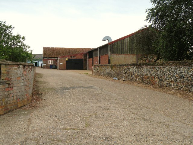
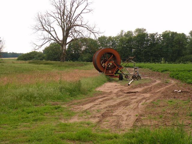
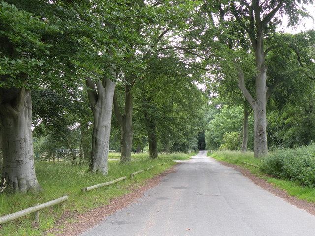
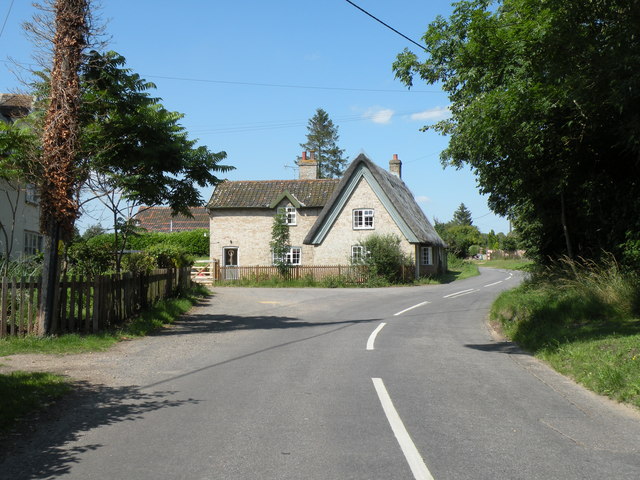
Knettishall Images
Images are sourced within 2km of 52.386768/0.89718324 or Grid Reference TL9780. Thanks to Geograph Open Source API. All images are credited.
Knettishall is located at Grid Ref: TL9780 (Lat: 52.386768, Lng: 0.89718324)
Administrative County: Suffolk
District: West Suffolk
Police Authority: Suffolk
What 3 Words
///morphing.mailbox.brand. Near East Harling, Norfolk
Nearby Locations
Related Wikis

Knettishall
Knettishall is a village and civil parish in the West Suffolk district of Suffolk in eastern England. Located on the south bank of the River Little Ouse...

Riddlesworth Hall
Riddlesworth Hall is a country house, and was formerly used as a boarding school. It is located in Riddlesworth, Norfolk, England. == History == It was...

RAF Knettishall
RAF Knettishall is a former World War II airfield in Suffolk. During the conflict, it was numbered as Station 136 by the United States Army Air Forces...

Riddlesworth
Riddlesworth is a civil parish in the English county of Norfolk. It covers an area of 8.26 km2 (3.19 sq mi) and had a population of 147 in 48 households...

Hopton Fen
Hopton Fen is a 15.3-hectare (38-acre) biological Site of Special Scientific Interest north of Hopton in Suffolk. It is managed by the Suffolk Wildlife...

Roman Catholic Diocese of East Anglia
The Diocese of East Anglia (Latin: Dioecesis Angliae Orientalis) is a Latin diocese of the Catholic Church covering the counties of Cambridgeshire, Norfolk...

Knettishall Heath
Knettishall Heath is a 91.7-hectare (227-acre) biological Site of Special Scientific Interest west of Knettishall in Suffolk. A larger area of 176 hectares...

Iceni Way
The Iceni Way is a collective name for several long-distance footpaths running from Knettishall Heath to Hunstanton via the Little Ouse and Great Ouse...
Nearby Amenities
Located within 500m of 52.386768,0.89718324Have you been to Knettishall?
Leave your review of Knettishall below (or comments, questions and feedback).