Riddlesworth
Settlement in Norfolk Breckland
England
Riddlesworth

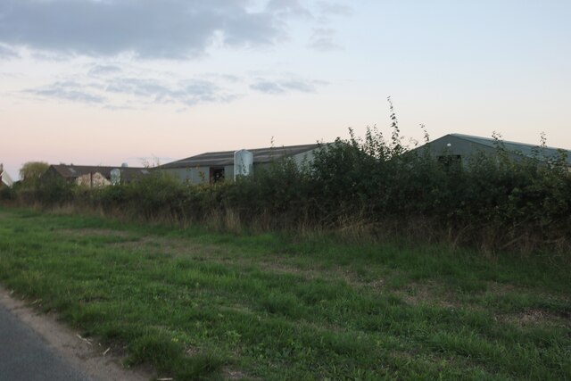
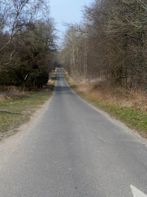
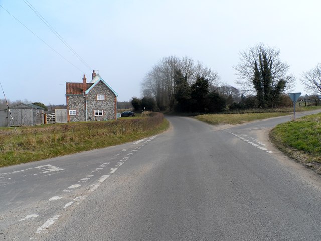
Riddlesworth is a small village located in the county of Norfolk, England. It is situated approximately 15 miles northeast of the town of Thetford and about 30 miles southwest of the city of Norwich. The village is nestled amidst the picturesque countryside, characterized by rolling hills, lush green fields, and charming woodlands.
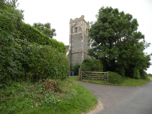
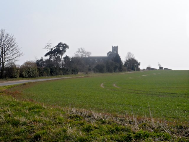
Riddlesworth is known for its rich historical heritage, with evidence of settlement dating back to the Roman period. The village is home to several ancient buildings, including St. Peter's Church, a beautiful medieval structure that stands as a testament to the village's past.
Despite its small size, Riddlesworth offers a range of amenities and services for its residents and visitors. These include a local pub, a village hall, and a primary school, which is highly regarded for its academic excellence. The village also benefits from its proximity to nearby towns and cities, providing access to a wider range of facilities and entertainment options.
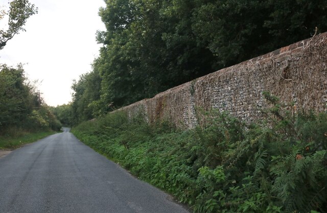
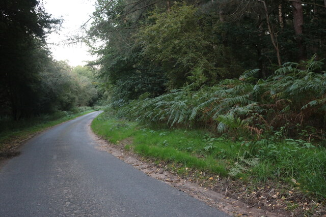
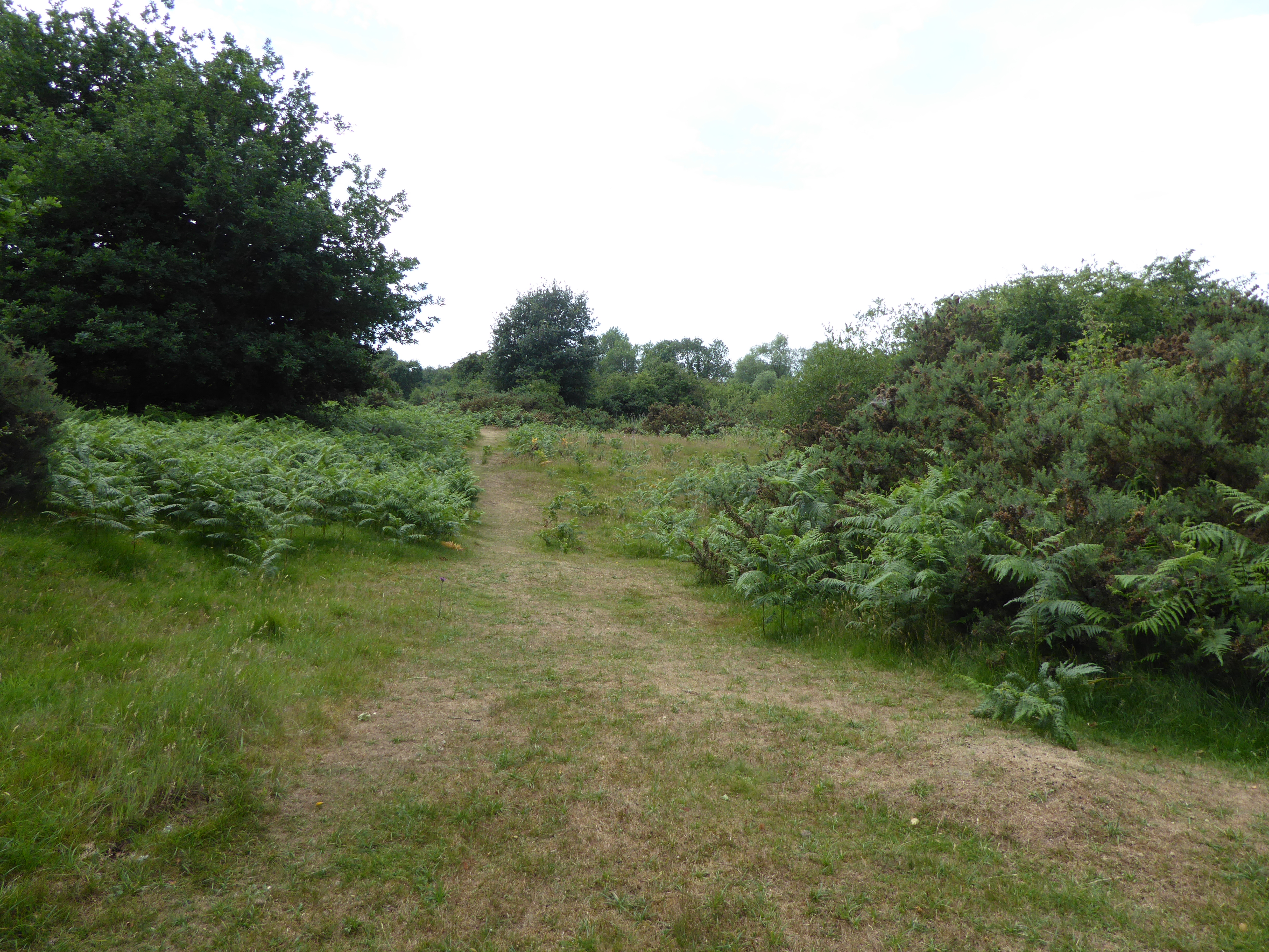
The surrounding countryside provides ample opportunities for outdoor activities such as walking, cycling, and horse riding. Riddlesworth Forest, a nearby nature reserve, is a popular destination for nature enthusiasts and offers a tranquil setting for exploring the local flora and fauna.
Riddlesworth's idyllic location and close-knit community make it an attractive place to live for those seeking a peaceful and rural lifestyle. With its rich history, natural beauty, and range of amenities, Riddlesworth truly captures the essence of a quintessential Norfolk village.
If you have any feedback on the listing, please let us know in the comments section below.
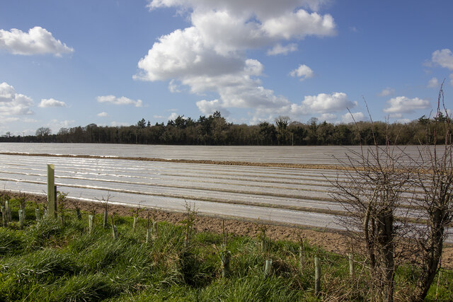
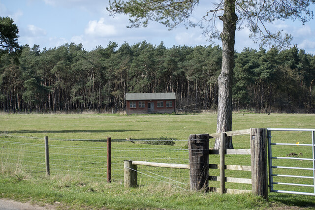
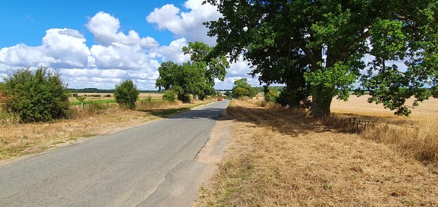
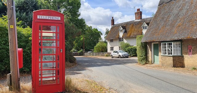
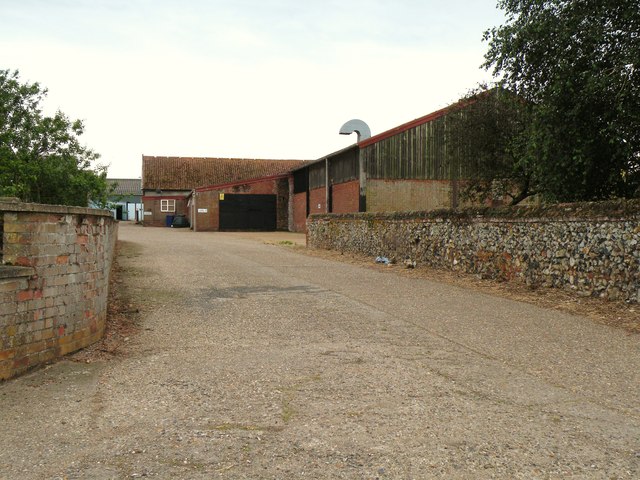
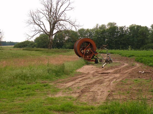
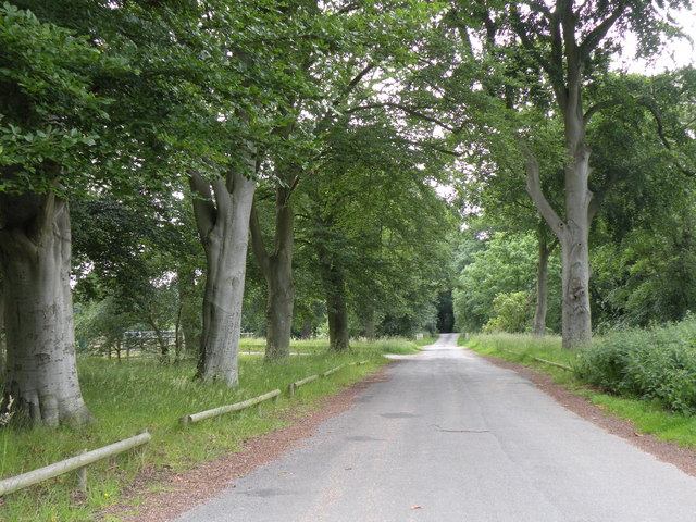
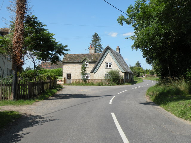
Riddlesworth Images
Images are sourced within 2km of 52.382587/0.89314702 or Grid Reference TL9780. Thanks to Geograph Open Source API. All images are credited.
Riddlesworth is located at Grid Ref: TL9780 (Lat: 52.382587, Lng: 0.89314702)
Administrative County: Norfolk
District: Breckland
Police Authority: Norfolk
What 3 Words
///tune.yacht.factually. Near East Harling, Norfolk
Nearby Locations
Related Wikis

Knettishall
Knettishall is a village and civil parish in the West Suffolk district of Suffolk in eastern England. Located on the south bank of the River Little Ouse...

RAF Knettishall
RAF Knettishall is a former World War II airfield in Suffolk. During the conflict, it was numbered as Station 136 by the United States Army Air Forces...

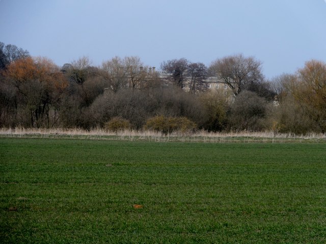
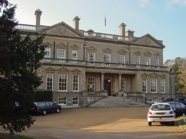
Riddlesworth Hall
Riddlesworth Hall is a country house, and was formerly used as a boarding school. It is located in Riddlesworth, Norfolk, England. == History == It was...
Weston Fen, Suffolk
Weston Fen is a 49.7-hectare (123-acre) biological Site of Special Scientific Interest in Hopton in Suffolk. It is part of the Waveney and Little Ouse...

Knettishall Heath
Knettishall Heath is a 91.7-hectare (227-acre) biological Site of Special Scientific Interest west of Knettishall in Suffolk. A larger area of 176 hectares...

Iceni Way
The Iceni Way is a collective name for several long-distance footpaths running from Knettishall Heath to Hunstanton via the Little Ouse and Great Ouse...

Hopton Fen
Hopton Fen is a 15.3-hectare (38-acre) biological Site of Special Scientific Interest north of Hopton in Suffolk. It is managed by the Suffolk Wildlife...

Riddlesworth
Riddlesworth is a civil parish in the English county of Norfolk. It covers an area of 8.26 km2 (3.19 sq mi) and had a population of 147 in 48 households...
Nearby Amenities
Located within 500m of 52.382587,0.89314702Have you been to Riddlesworth?
Leave your review of Riddlesworth below (or comments, questions and feedback).