Gaston Green
Settlement in Essex Uttlesford
England
Gaston Green
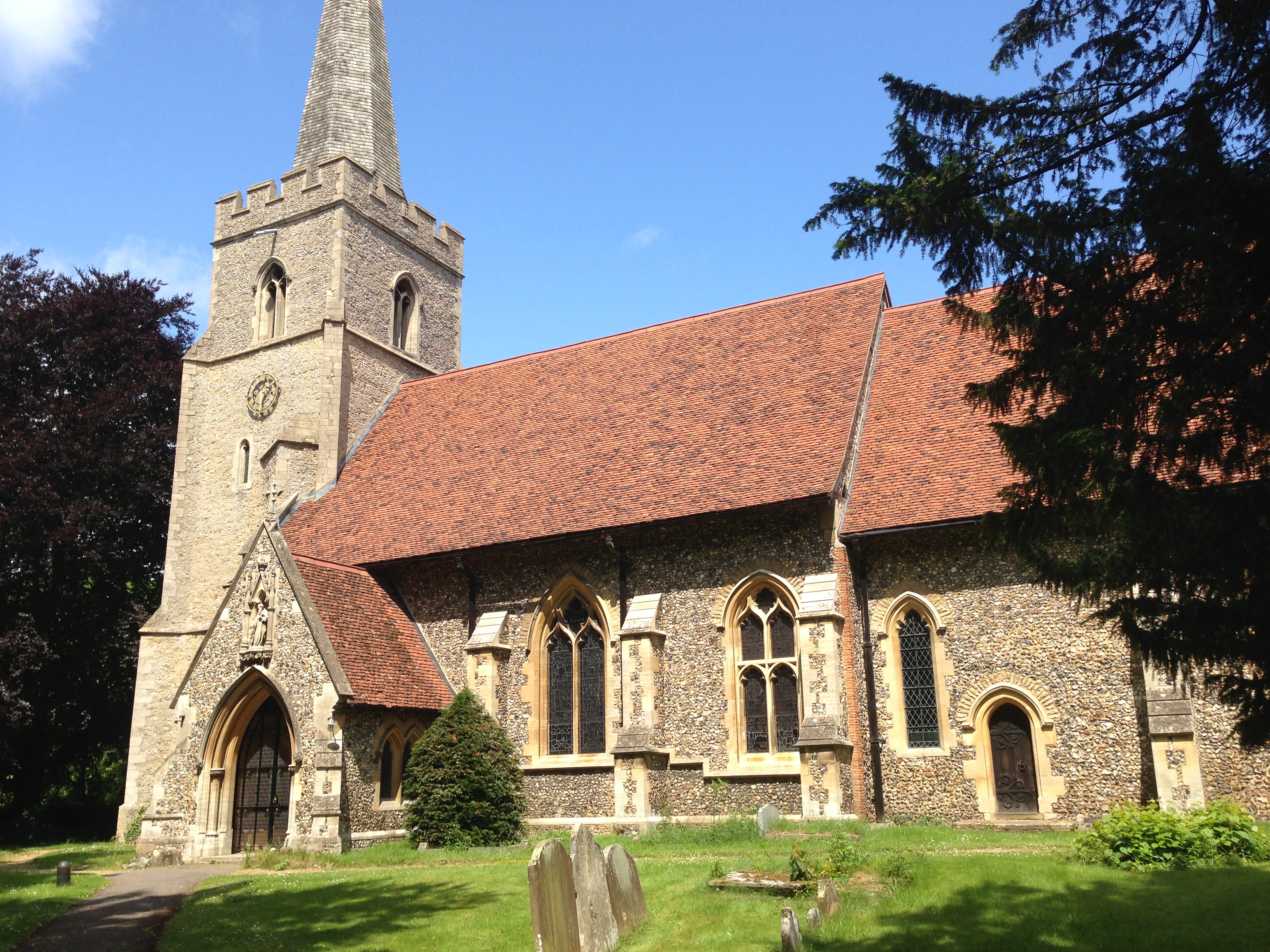
Gaston Green is a charming village located in Essex, England. Situated in the picturesque Uttlesford district, it is surrounded by stunning countryside and is known for its tranquil atmosphere. The village is conveniently located just a few miles southwest of the market town of Saffron Walden, making it easily accessible for residents and visitors alike.
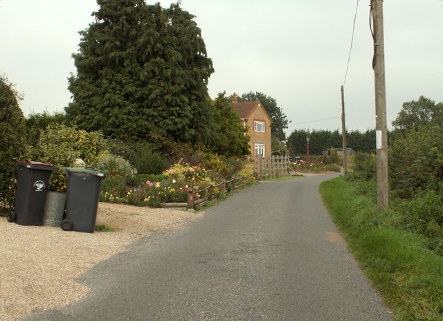
Gaston Green is characterized by its traditional English architecture, with many beautiful period houses lining its streets. The village boasts a close-knit community, with friendly and welcoming residents who take pride in their village and its heritage. The village green acts as a focal point for community events, providing a space for locals to gather and socialize. It is also a popular spot for picnics and recreational activities.
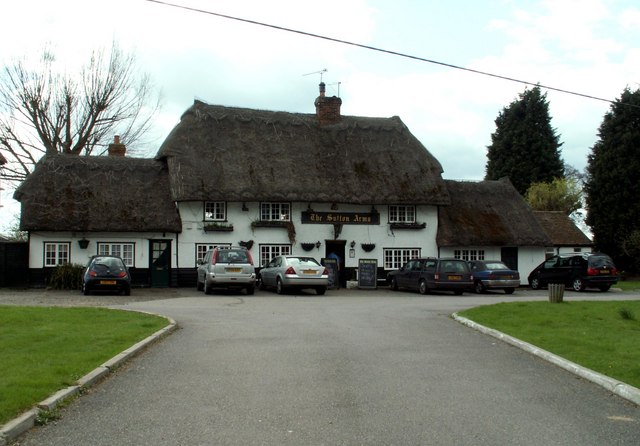
In terms of amenities, Gaston Green offers a range of facilities to cater to the needs of its residents. There is a local pub that serves as a meeting place for locals, offering a cozy atmosphere and traditional pub food. Additionally, the village has a well-maintained playground and sports field, providing recreation options for both children and adults.
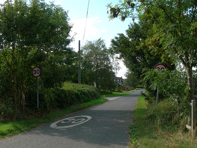
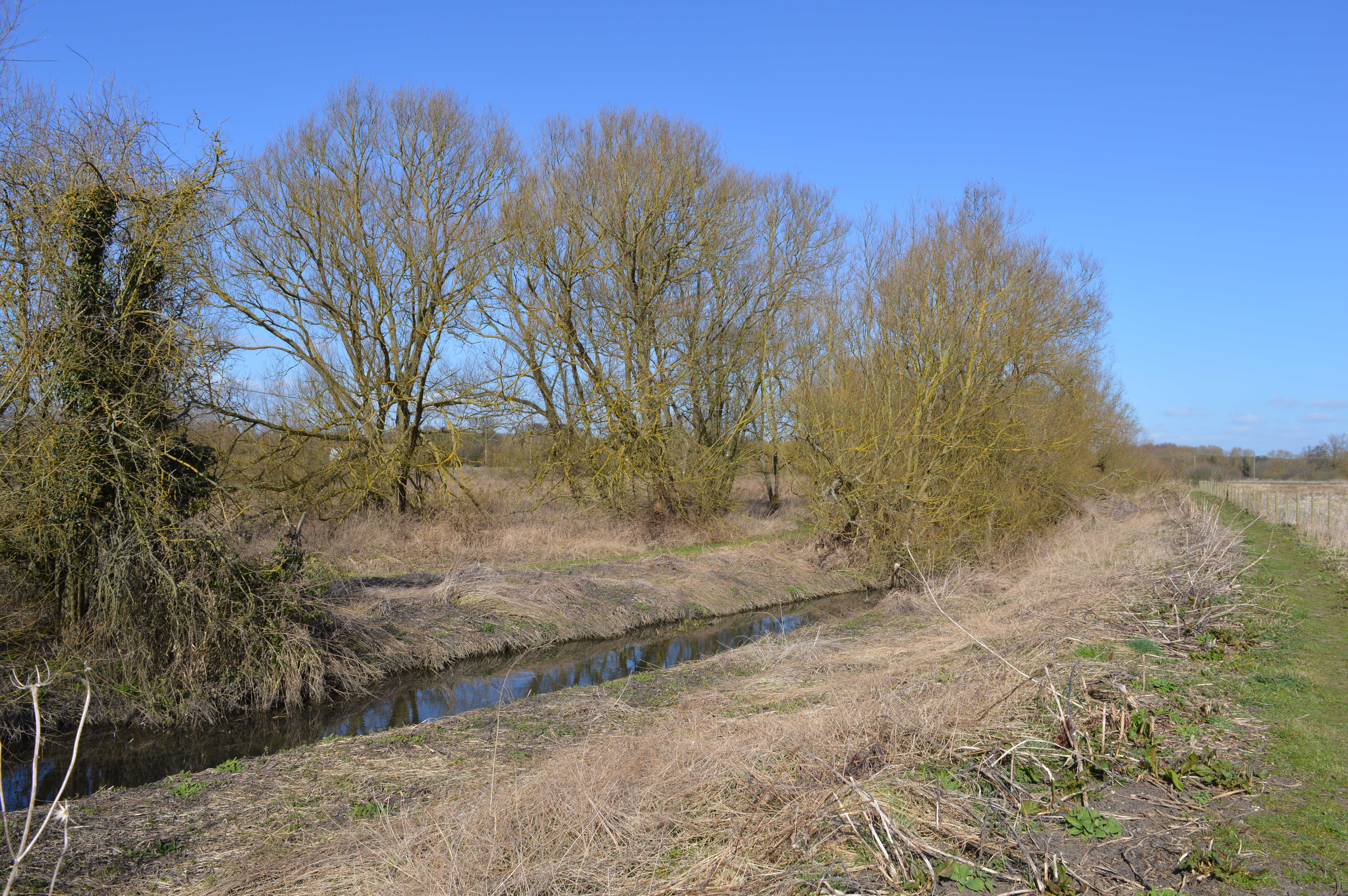
Surrounded by rolling countryside, Gaston Green offers an abundance of outdoor activities. The village benefits from numerous footpaths and bridleways that wind through the scenic landscape, making it an ideal location for hiking, cycling, and horse riding enthusiasts. The nearby Audley End House and Gardens, a grand Jacobean mansion, is a popular attraction for visitors to explore the area's rich history.
Overall, Gaston Green is a charming and idyllic village that offers a peaceful and picturesque living environment, making it an attractive place for both residents and visitors seeking a slice of quintessential English countryside life.
If you have any feedback on the listing, please let us know in the comments section below.
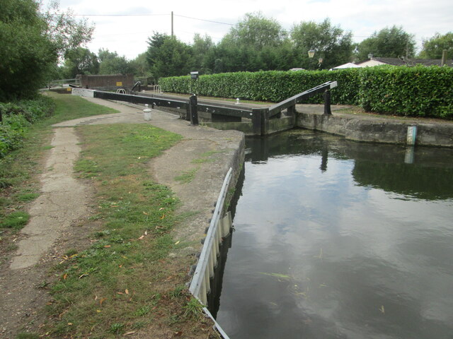
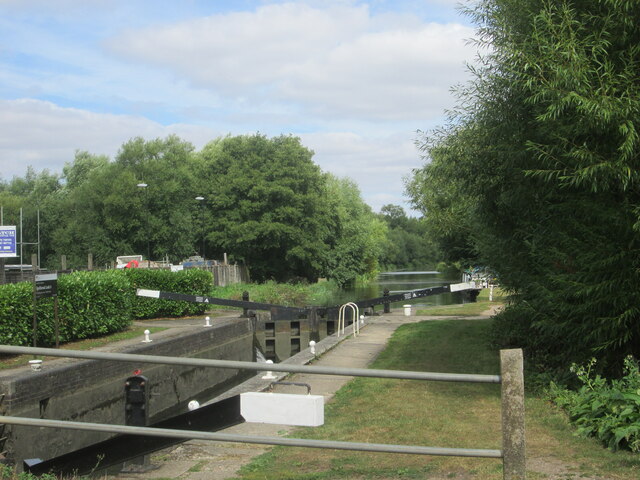
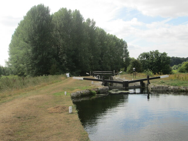
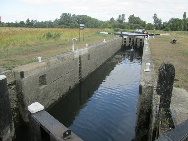
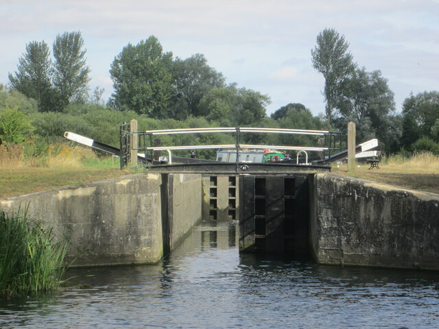
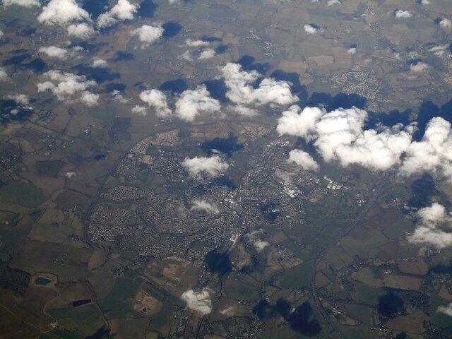
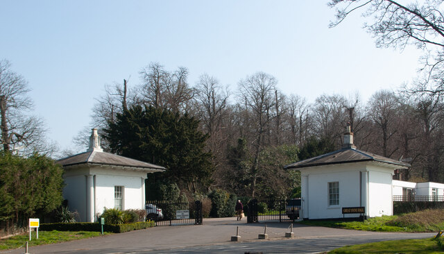
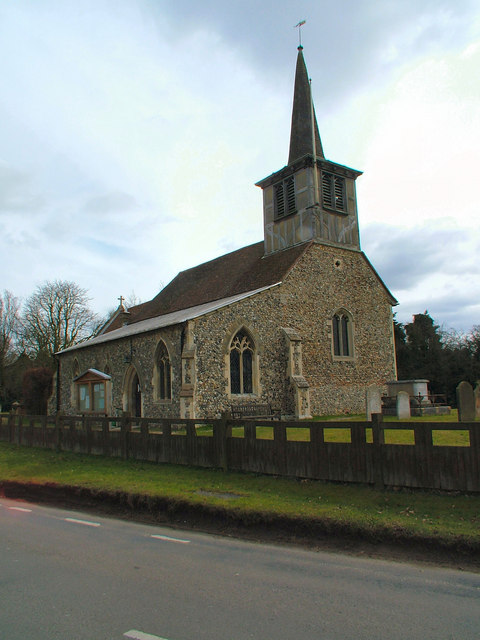
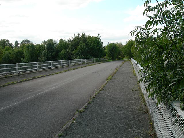
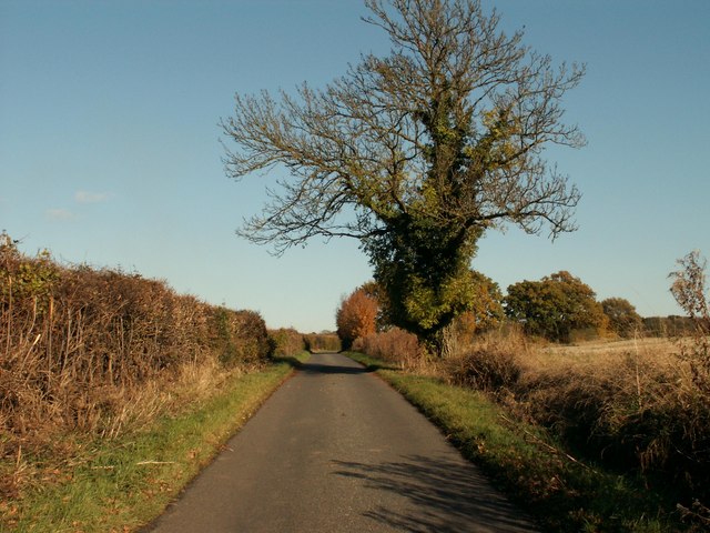
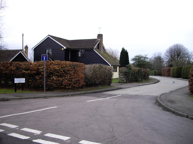
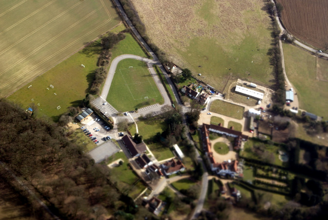
Gaston Green Images
Images are sourced within 2km of 51.832858/0.171211 or Grid Reference TL4917. Thanks to Geograph Open Source API. All images are credited.


Gaston Green is located at Grid Ref: TL4917 (Lat: 51.832858, Lng: 0.171211)
Administrative County: Essex
District: Uttlesford
Police Authority: Essex
What 3 Words
///onions.vibrates.meant. Near Little Hallingbury, Essex
Nearby Locations
Related Wikis

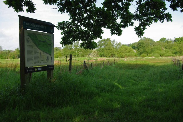
Little Hallingbury Marsh
Little Hallingbury Marsh is a 4.5-hectare (11-acre) biological Site of Special Scientific Interest adjacent to the River Stort, west of Little Hallingbury...

Little Hallingbury
Little Hallingbury is a small village and a civil parish in the Uttlesford district of Essex, England. == Geography == Little Hallingbury parish is on...
Great Hallingbury
Great Hallingbury is a village and a civil parish in the Uttlesford District of Essex, England. The population of the civil parish at the 2011 census was...

Spelbrook railway station
Spelbrook railway station, also known as Spellbrook railway station, Spelbroke railway station and Spillbrook railway station served the hamlet of Spellbrook...

Spellbrook
Spellbrook is a hamlet in Hertfordshire, situated between Bishop's Stortford and Sawbridgeworth. == Location == Spellbrook is one mile south of Bishop...
Thorley Wash nature reserve
Thorley Wash or Thorley Flood Pound is a 17.3-hectare biological Site of Special Scientific Interest in Thorley, south of Bishop's Stortford in Hertfordshire...
Sawbridgeworth Marsh
Sawbridgeworth Marsh is a 6.3-hectare (16-acre) biological Site of Special Scientific Interest (SSSI) near Sawbridgeworth in Hertfordshire, apart from...
The Leventhorpe School
Leventhorpe School is a mixed, 11-19 secondary school and sixth form in the town of Sawbridgeworth, Hertfordshire. The school became an academy in August...
Nearby Amenities
Located within 500m of 51.832858,0.171211Have you been to Gaston Green?
Leave your review of Gaston Green below (or comments, questions and feedback).