Gatacre Park
Settlement in Shropshire
England
Gatacre Park
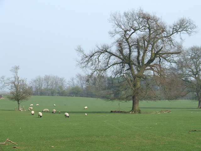
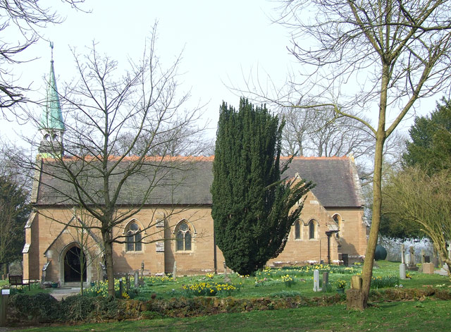
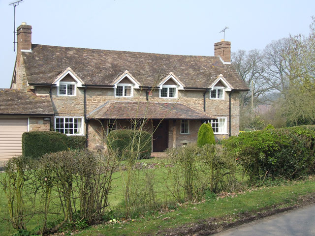
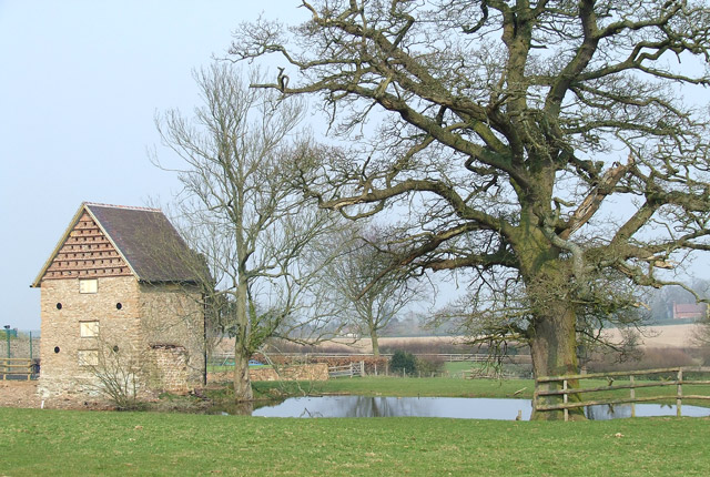
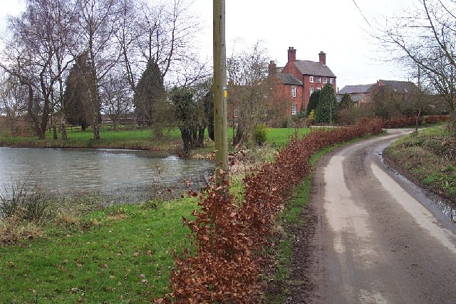
Gatacre Park is a historic country estate located in the county of Shropshire, England. Situated near the village of Claverley, the park covers an area of around 200 acres and is renowned for its picturesque landscape and rich history.
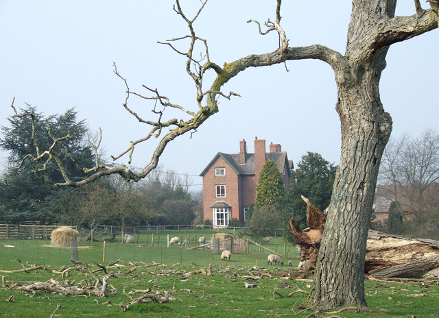
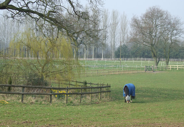
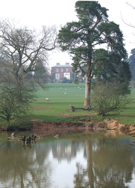
The park features a magnificent Grade II listed country house, Gatacre Hall, which dates back to the 18th century. This Georgian-style mansion boasts elegant architecture with stunning period features, including grand reception rooms, ornate ceilings, and beautiful gardens. Gatacre Hall is surrounded by extensive parkland, including manicured lawns, woodlands, and a tranquil lake, all of which contribute to the park's idyllic setting.
Throughout its history, Gatacre Park has been associated with notable families and individuals. Originally owned by the Gatacre family, the estate was later purchased by the Anson family, who were prominent landowners in the region. The park has also had connections to the military, with the Gatacre family having produced several high-ranking military figures.
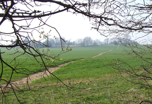
In addition to its architectural and historical significance, Gatacre Park offers a range of recreational activities. The parkland provides ample space for walking, picnicking, and wildlife spotting. It is also a popular venue for weddings, special events, and corporate functions due to its enchanting atmosphere and stunning backdrop.
Overall, Gatacre Park is a cherished landmark in Shropshire, combining natural beauty, architectural splendor, and a rich heritage that continues to attract visitors from near and far.
If you have any feedback on the listing, please let us know in the comments section below.
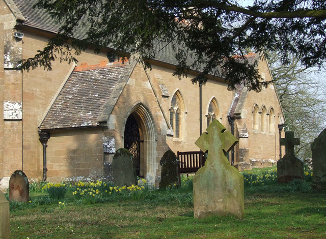
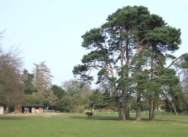
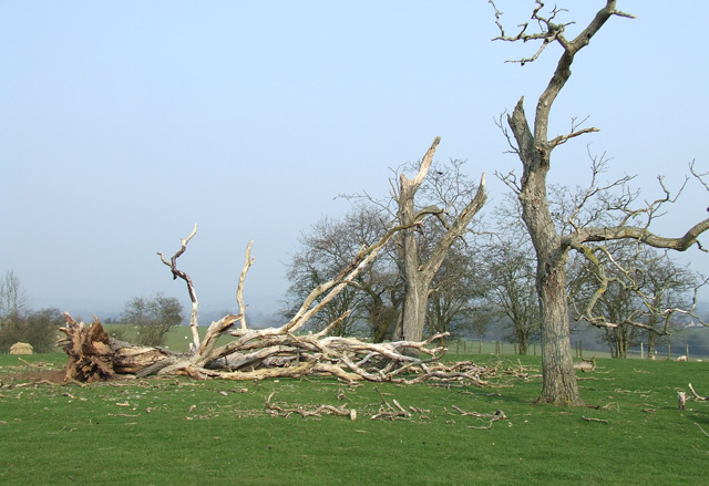
Gatacre Park Images
Images are sourced within 2km of 52.498495/-2.3107655 or Grid Reference SO7989. Thanks to Geograph Open Source API. All images are credited.


Gatacre Park is located at Grid Ref: SO7989 (Lat: 52.498495, Lng: -2.3107655)
Unitary Authority: Shropshire
Police Authority: West Mercia
What 3 Words
///dude.imperious.kickers. Near Alveley, Shropshire
Nearby Locations
Related Wikis

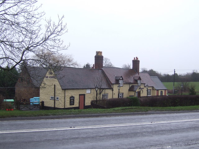
Six Ashes
Six Ashes is a small village in Shropshire, England, on the Shropshire side of the border with Staffordshire. == See also == Tripartite Indenture ��2...

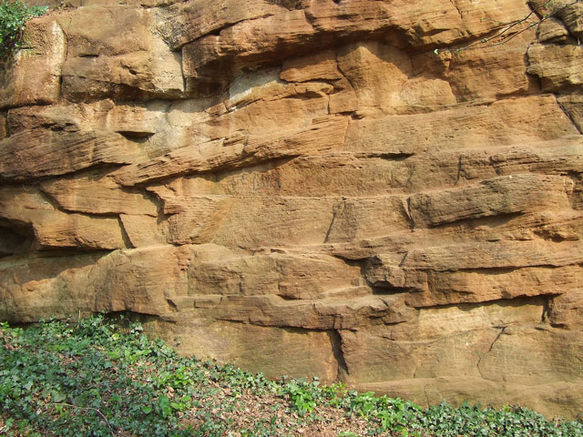
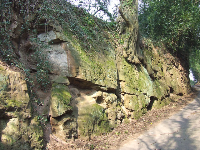
Mid Severn Sandstone Plateau
The Mid Severn Sandstone Plateau is a rural landscape and one of the natural regions of central England, straddling the border between the counties of...
Severn Valley
The Severn Valley is a rural area of the West Midlands region of England, through which the River Severn runs and the Severn Valley Railway steam heritage...

Kingsnordley
Kingsnordley is a manor in the northern part of the parish of Alveley. This part of the parish has no nucleated village, but there is a Church of England...
Bobbington
Bobbington is a village and civil parish in the South Staffordshire district of Staffordshire, England, about 5 miles (8.0 km) west of Wombourne. According...
Beobridge
Beobridge is a small, scattered hamlet in Shropshire, England. It is in the civil parish of Claverley. Its name probably comes from Old English beo, "bee...

Coton, Alveley, Shropshire
Coton is located northeast of Alveley, Shropshire and was associated with the manor Coton Hall. The ancestors of General Robert E. Lee left Coton near...
Quatt
Quatt is a small village in Shropshire, England in the Severn Valley. The civil parish, formally known as Quatt Malvern, has a population of 219 according...
Nearby Amenities
Located within 500m of 52.498495,-2.3107655Have you been to Gatacre Park?
Leave your review of Gatacre Park below (or comments, questions and feedback).