St John's Covert
Wood, Forest in Norfolk Breckland
England
St John's Covert
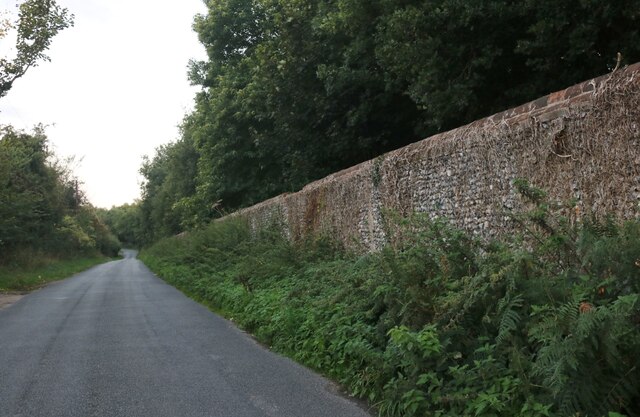
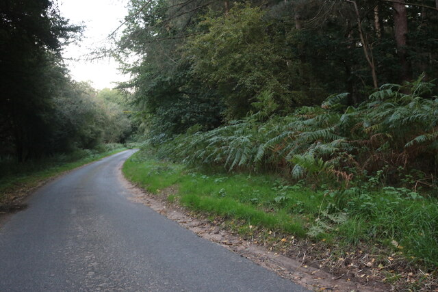
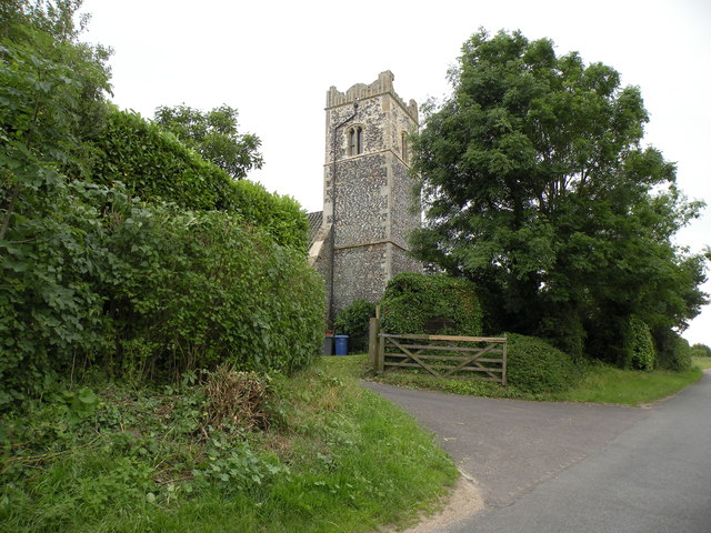
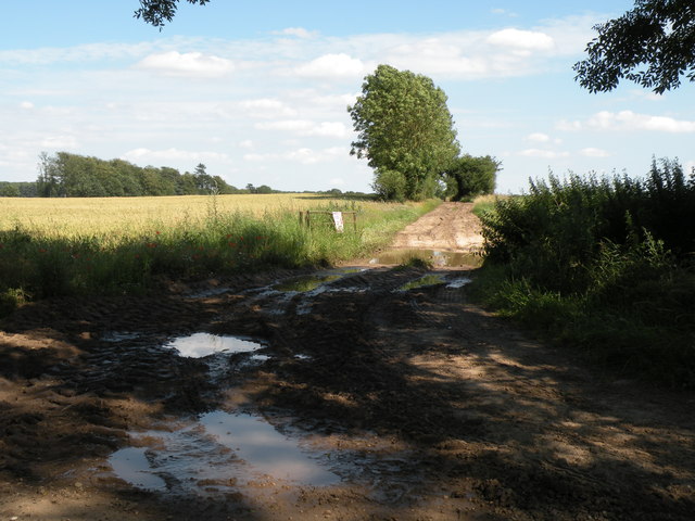
St John's Covert is a picturesque woodland located in Norfolk, England. Covering an area of approximately 200 acres, it is a well-preserved example of a medieval forest that has retained its natural beauty and biodiversity over the centuries. The woodland is named after the nearby St John's Chapel, which dates back to the 12th century and adds to the historical significance of the area.
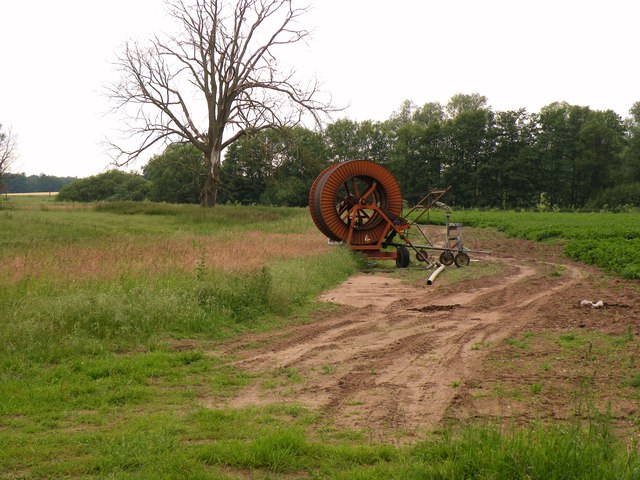
St John's Covert is home to a diverse range of flora and fauna, making it a haven for nature enthusiasts and wildlife lovers. The woodland is predominantly composed of broadleaf trees, including oak, beech, and ash, which provide a rich habitat for a variety of bird species, such as woodpeckers, owls, and thrushes. The forest floor is adorned with a carpet of wildflowers during the spring and summer months, attracting butterflies and bees.
Visitors to St John's Covert can enjoy a peaceful and tranquil atmosphere, perfect for walking, picnicking, and observing wildlife. There are several well-maintained footpaths that wind through the forest, allowing visitors to explore its hidden corners and discover its natural treasures. The woodland also features a small pond, which is a popular spot for birdwatching and provides a refreshing oasis during hot summer days.
St John's Covert is managed by the local council, ensuring its protection and preservation for future generations to enjoy. The woodland serves as an important educational resource, providing a living classroom for school trips and nature walks. Its accessibility and beauty make it a beloved natural attraction for both locals and tourists alike, offering a much-needed escape from the hustle and bustle of everyday life.
If you have any feedback on the listing, please let us know in the comments section below.
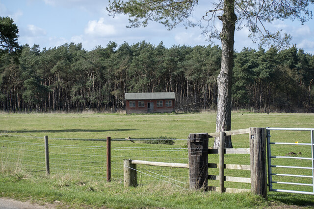
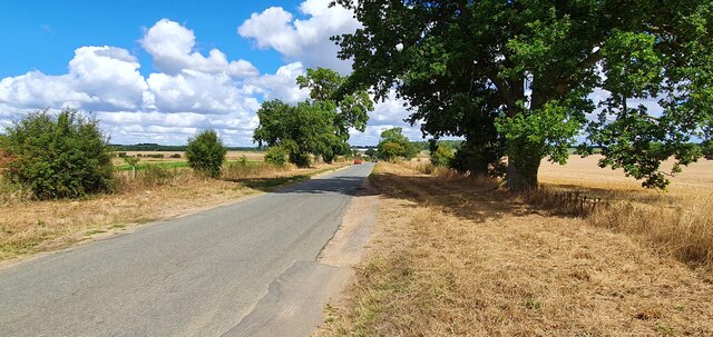
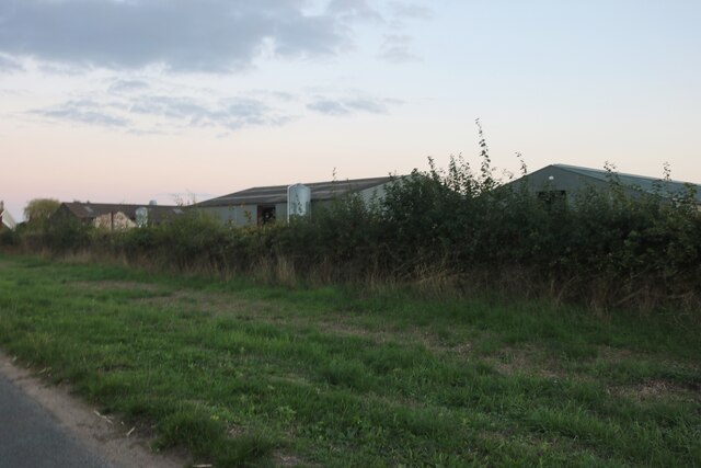
St John's Covert Images
Images are sourced within 2km of 52.396564/0.90111824 or Grid Reference TL9781. Thanks to Geograph Open Source API. All images are credited.


St John's Covert is located at Grid Ref: TL9781 (Lat: 52.396564, Lng: 0.90111824)
Administrative County: Norfolk
District: Breckland
Police Authority: Norfolk
What 3 Words
///prance.cattle.unscathed. Near East Harling, Norfolk
Related Wikis

Roman Catholic Diocese of East Anglia
The Diocese of East Anglia (Latin: Dioecesis Angliae Orientalis) is a Latin diocese of the Catholic Church covering the counties of Cambridgeshire, Norfolk...

Riddlesworth
Riddlesworth is a civil parish in the English county of Norfolk. It covers an area of 8.26 km2 (3.19 sq mi) and had a population of 147 in 48 households...

Riddlesworth Hall
Riddlesworth Hall is a country house, and was formerly used as a boarding school. It is located in Riddlesworth, Norfolk, England. == History == It was...

Knettishall
Knettishall is a village and civil parish in the West Suffolk district of Suffolk in eastern England. Located on the south bank of the River Little Ouse...
Nearby Amenities
Located within 500m of 52.396564,0.90111824Have you been to St John's Covert?
Leave your review of St John's Covert below (or comments, questions and feedback).