Decoy Wood
Wood, Forest in Norfolk North Norfolk
England
Decoy Wood
Decoy Wood is a beautiful forest located in Norfolk, England. It covers an area of approximately 150 acres and is known for its diverse range of flora and fauna. The wood is situated near the village of Newton Flotman, making it easily accessible to both locals and tourists.
The forest is predominantly composed of mixed deciduous and coniferous trees, creating an enchanting and picturesque landscape. The towering oak, beech, and pine trees provide a dense canopy, allowing sunlight to filter through and create a tranquil atmosphere. The woodland floor is covered with a carpet of wildflowers, including bluebells, primroses, and foxgloves, adding a splash of color to the surroundings.
Decoy Wood is home to a variety of wildlife, making it a popular spot for nature enthusiasts and birdwatchers. Visitors may spot a range of bird species, including woodpeckers, owls, and various songbirds. Squirrels can also be seen scampering through the trees, adding to the woodland's charm.
The forest offers a network of well-maintained walking trails, allowing visitors to explore the wood at their own pace. These paths wind through the trees, offering glimpses of the picturesque countryside and providing an opportunity to immerse oneself in nature. There are also picnic areas and benches scattered throughout the wood, inviting visitors to relax and enjoy the peaceful surroundings.
Overall, Decoy Wood in Norfolk is a captivating forest that offers a serene escape from the hustle and bustle of everyday life. With its diverse ecosystem and scenic trails, it is a haven for nature lovers and a must-visit destination for anyone seeking tranquility in the heart of nature.
If you have any feedback on the listing, please let us know in the comments section below.
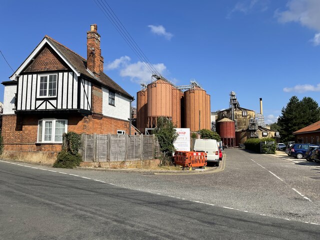
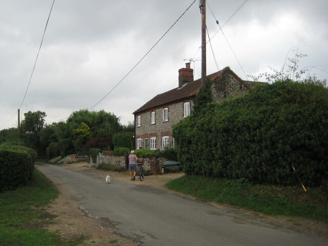
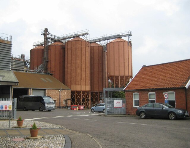
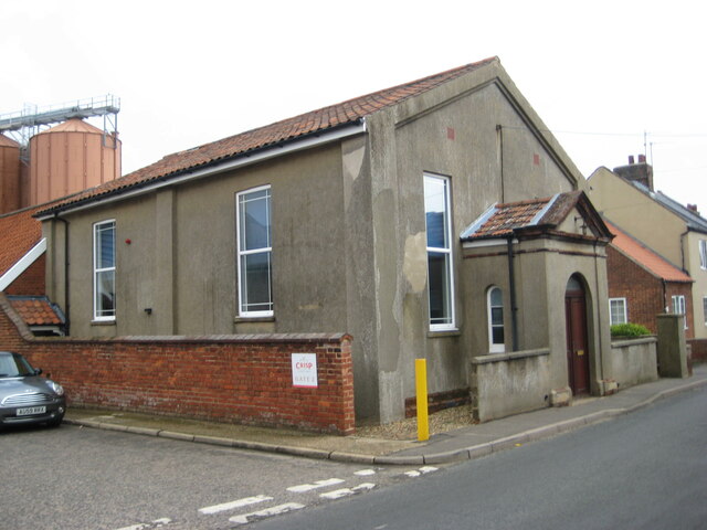
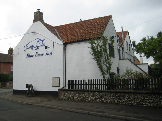
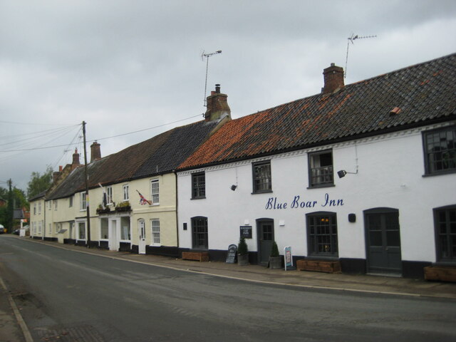
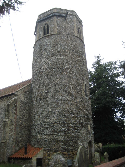
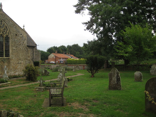
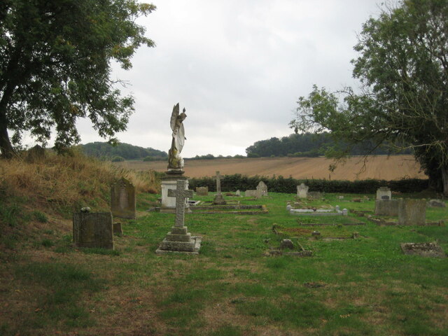
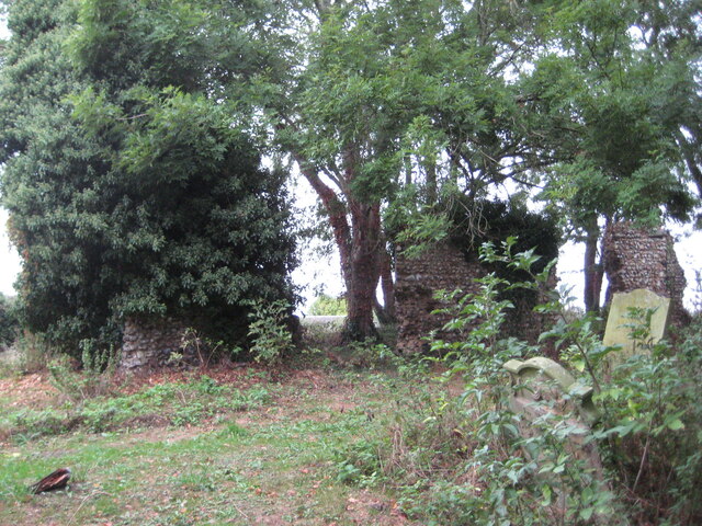
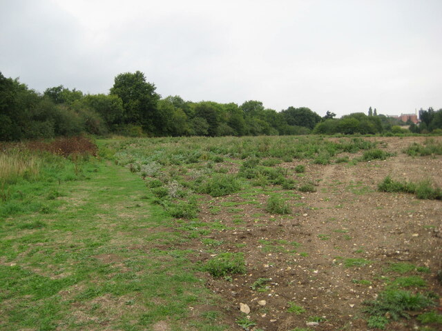
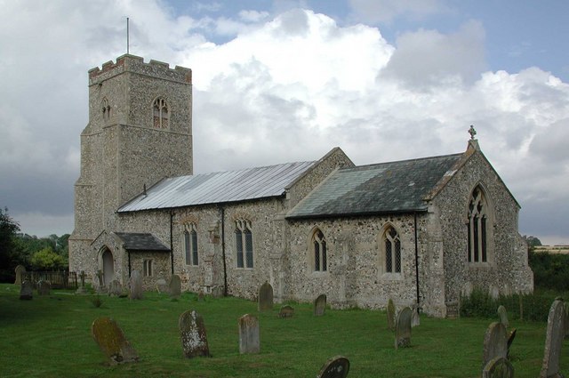
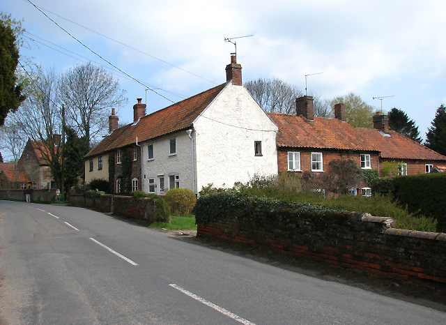
Decoy Wood Images
Images are sourced within 2km of 52.799293/0.92762741 or Grid Reference TF9726. Thanks to Geograph Open Source API. All images are credited.


Decoy Wood is located at Grid Ref: TF9726 (Lat: 52.799293, Lng: 0.92762741)
Administrative County: Norfolk
District: North Norfolk
Police Authority: Norfolk
What 3 Words
///studs.sunroof.losses. Near Foulsham, Norfolk
Nearby Locations
Related Wikis
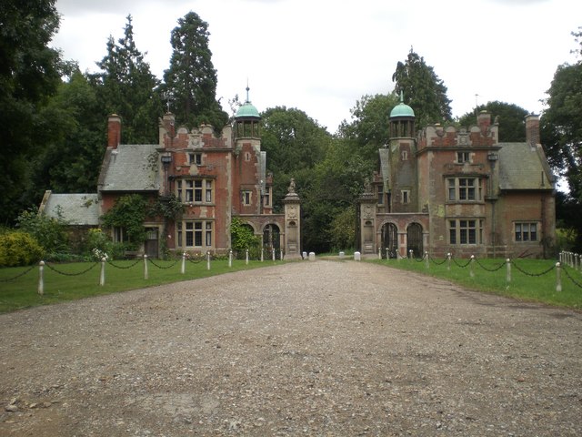
Sennowe Hall
Sennowe Hall (also known as Sennowe Park) is a large country house and estate located near the village of Guist in Norfolk, England. The clock tower, the...

Stibbard
Stibbard is a village and civil parish in the English county of Norfolk. The village is 19.3 miles (31.1 km) south-west of Cromer, 21.2 miles (34.1 km...

Ryburgh
Ryburgh is a civil parish in the English county of Norfolk. The parish is 21.2 miles (34.1 km) south-west of Cromer, 23.1 miles (37.2 km) north-west of...

Ryburgh railway station
Ryburgh railway station was a railway station in the village of Great Ryburgh in the English county of Norfolk. == History == The station opened in 1849...

Great Ryburgh
Great Ryburgh is a village and former civil parish, now in the parish of Ryburgh, in the North Norfolk district, in the county of Norfolk, England. In...
Gateley
Gateley is a village and civil parish in the Breckland district of Norfolk, England. == Location == The village is situated some 16.9 km (10.5 mi) north...
Guist
Guist () is a village and civil parish in the English county of Norfolk. It covers an area of 6.80 km2 (2.63 sq mi) and had a population of 242 in 102...
B1110 road
The B1110 runs for about 19 miles (31 km) between Holt and Dereham, and is entirely within the county of Norfolk. The road is a link between the A148 and...
Nearby Amenities
Located within 500m of 52.799293,0.92762741Have you been to Decoy Wood?
Leave your review of Decoy Wood below (or comments, questions and feedback).