Hurstford Wood
Wood, Forest in Kent Ashford
England
Hurstford Wood
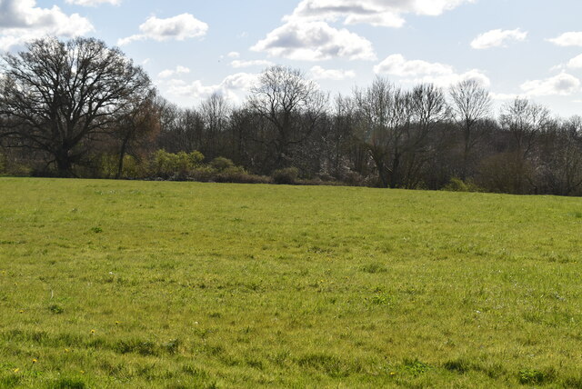
Hurstford Wood is a picturesque forest located in the county of Kent, England. Spanning over a sprawling area, the wood is known for its rich biodiversity and serene atmosphere. It is a popular destination for nature lovers, hikers, and birdwatchers alike.
The wood is characterized by its dense canopy of ancient oak and beech trees, creating a stunning landscape that changes with the seasons. In spring, the forest floor is covered in a vibrant carpet of bluebells and wildflowers, attracting a myriad of insects and small mammals. During autumn, the leaves transform into a riot of warm hues, making it a photographer's paradise.
The diverse wildlife in Hurstford Wood is another notable feature. It is home to a variety of bird species, including woodpeckers, thrushes, and owls. Visitors may also spot small mammals such as squirrels, foxes, and badgers. The wood offers numerous walking trails and designated bird hides, providing ample opportunities for visitors to observe and appreciate the natural wonders within.
Managed by the local authorities, Hurstford Wood has been carefully preserved and maintained to ensure its ecological integrity. The forest is also a designated Site of Special Scientific Interest (SSSI) due to its unique ecosystem and rare plant species.
With its tranquil ambiance and abundance of natural beauty, Hurstford Wood is a cherished destination for those seeking a peaceful retreat in the heart of Kent's countryside.
If you have any feedback on the listing, please let us know in the comments section below.
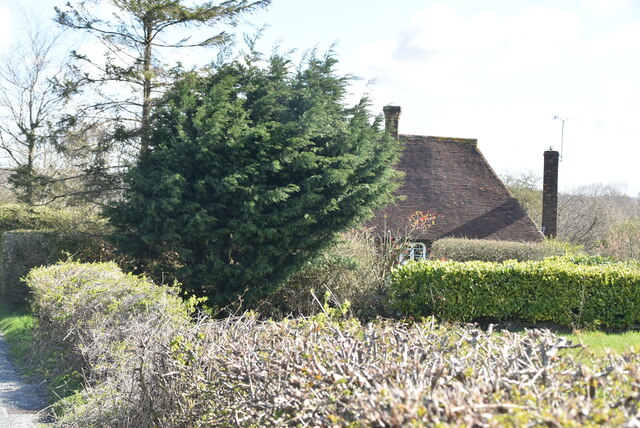
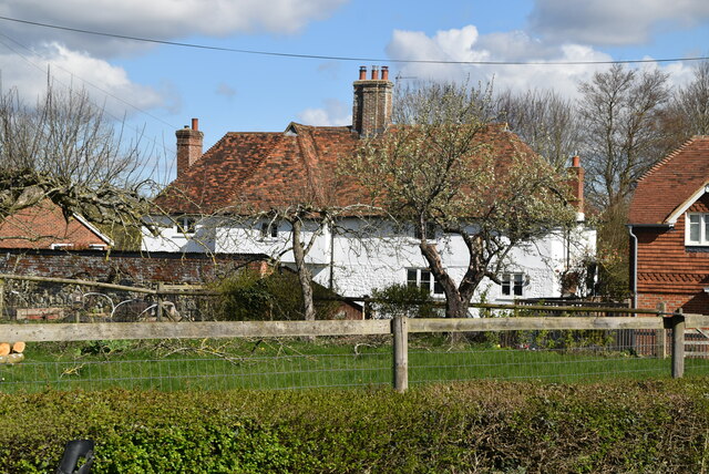
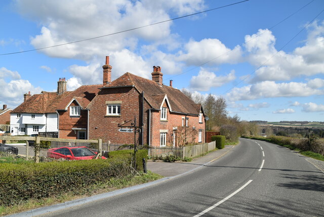
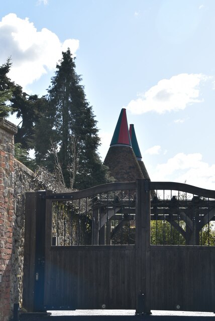
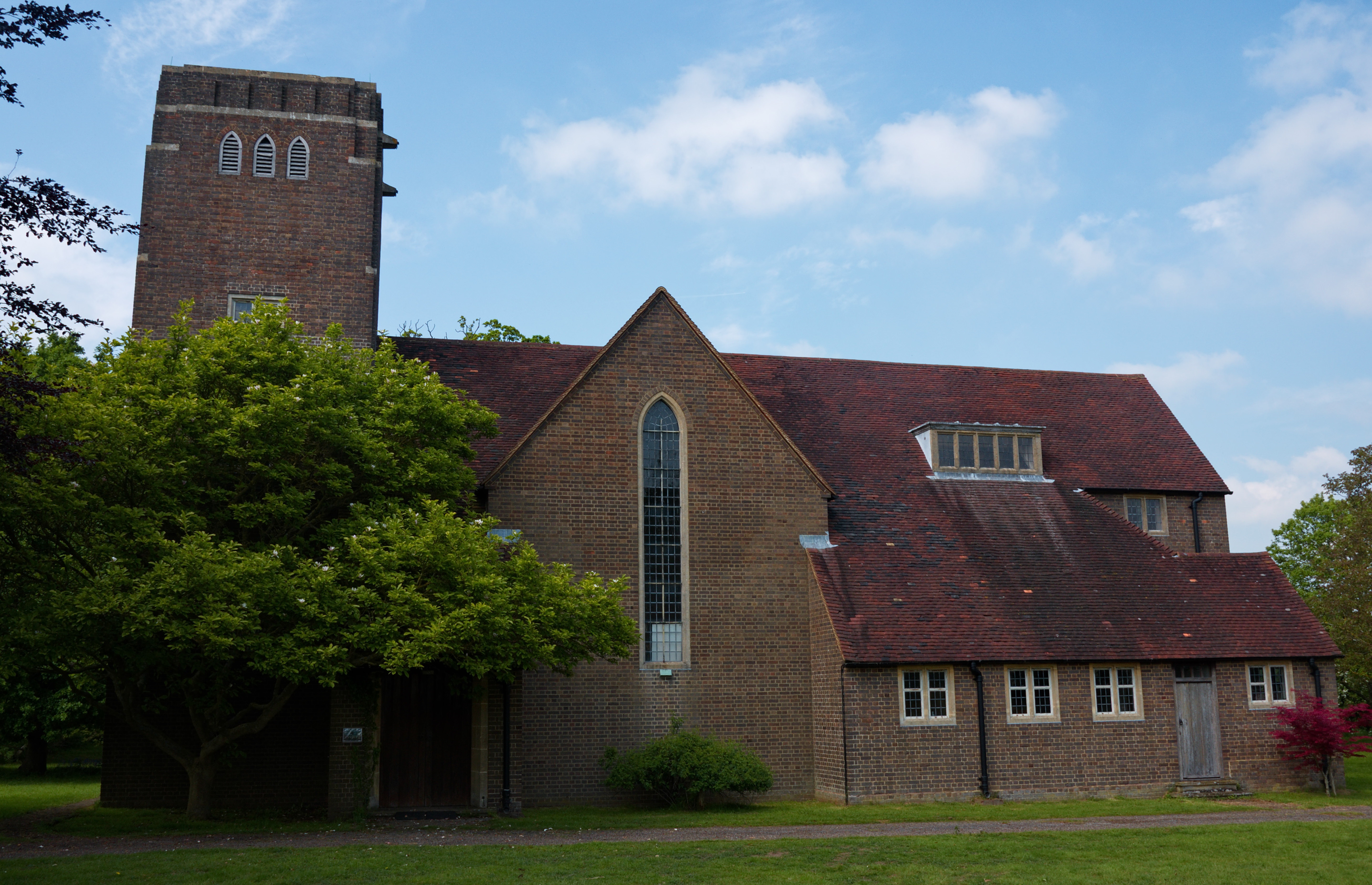
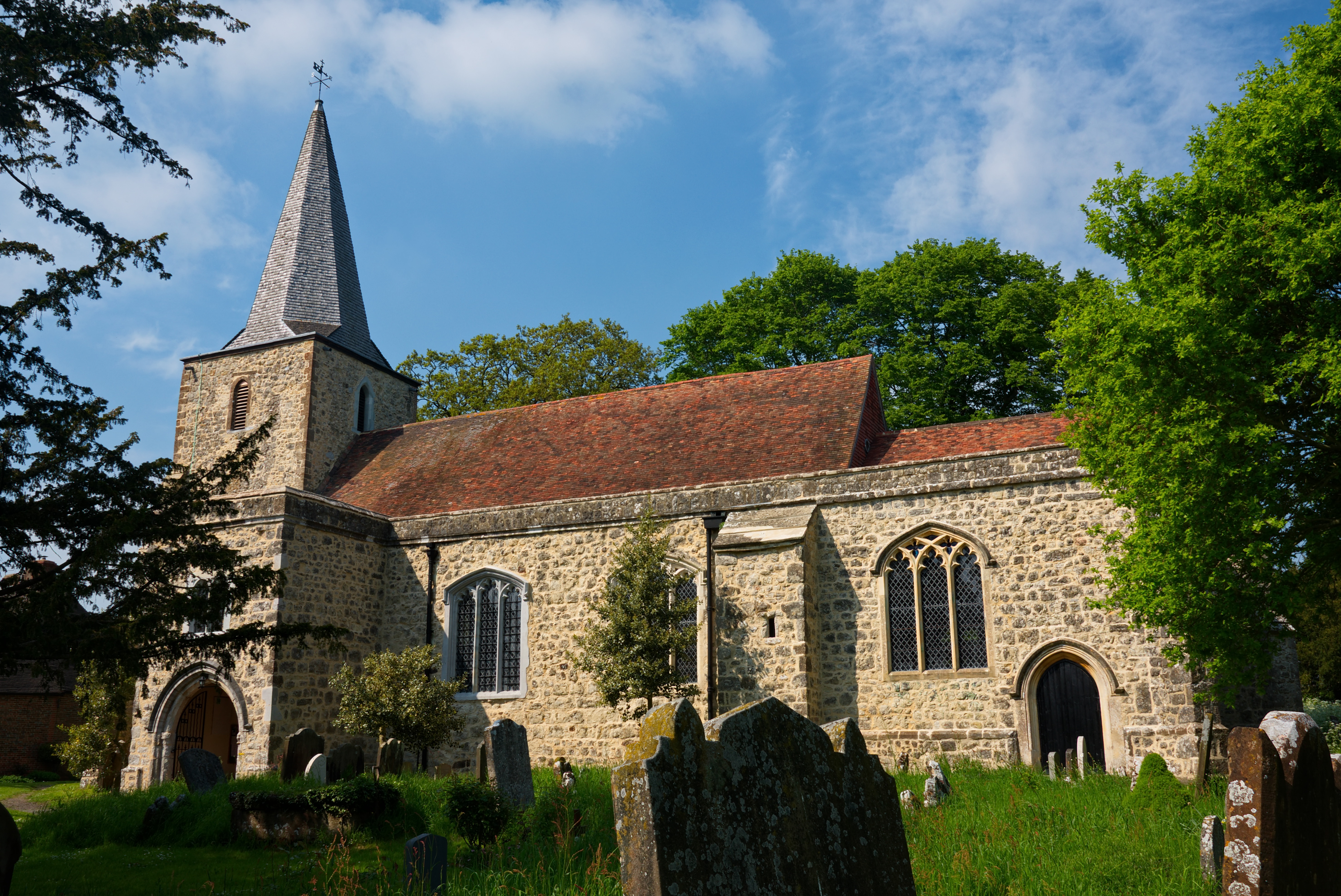
Hurstford Wood Images
Images are sourced within 2km of 51.186502/0.78846791 or Grid Reference TQ9446. Thanks to Geograph Open Source API. All images are credited.


Hurstford Wood is located at Grid Ref: TQ9446 (Lat: 51.186502, Lng: 0.78846791)
Administrative County: Kent
District: Ashford
Police Authority: Kent
What 3 Words
///pasta.garlic.loosens. Near Charing, Kent
Nearby Locations
Related Wikis
Little Chart
Little Chart is a village and civil parish, situated 4 miles (6.4 km) north-west of Ashford in Kent, South East England. The parish lies south of the M20...

Westwell Leacon
Westwell Leacon is a hamlet in the civil parish of Charing near Ashford in Kent, England. Its most famous resident is international Cyclocross star Ian...

Hothfield Common
Hothfield Common is a 56.5-hectare (140-acre) biological Site of Special Scientific Interest north-east of Ashford in Kent. It is also a Local Nature...
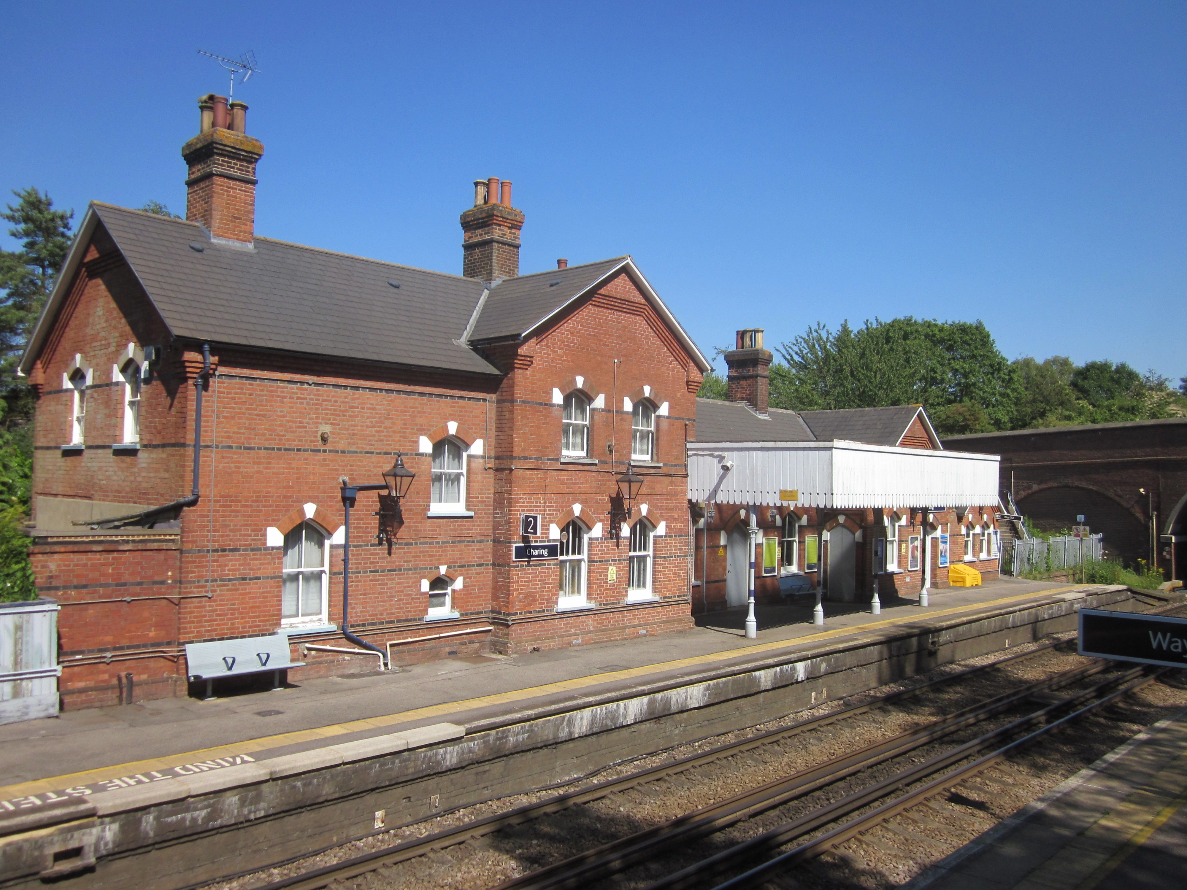
Charing railway station
Charing railway station serves the village of Charing in Kent, England. It is 53 miles 11 chains (85.5 km) down the line from London Victoria. The station...
Pluckley
Pluckley is a village and civil parish in the Ashford district of Kent, England. The civil parish includes the adjacent hamlet of Pluckley Thorne. �...

Smarden
Smarden is a civil parish and village, west of Ashford in Kent, South East England. The village has the Anglican parish church of St Michael the Archangel...
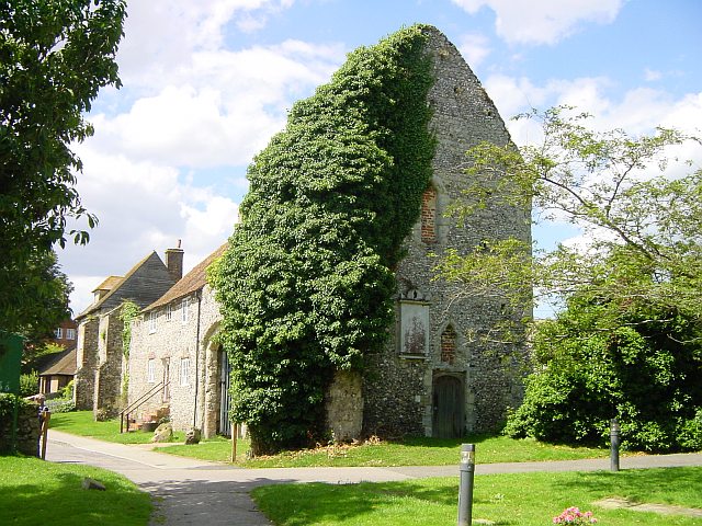
Archbishop's Palace, Charing
Archbishop's Palace, Charing, is an important heritage site dating back to the eighth century, and one of the earliest to be owned by the see of Canterbury...
Charing
Charing is a village and civil parish in the Ashford District of Kent, in south-east England. It includes the settlements of Charing Heath and Westwell...
Nearby Amenities
Located within 500m of 51.186502,0.78846791Have you been to Hurstford Wood?
Leave your review of Hurstford Wood below (or comments, questions and feedback).