Black Bushes
Wood, Forest in Kent Ashford
England
Black Bushes

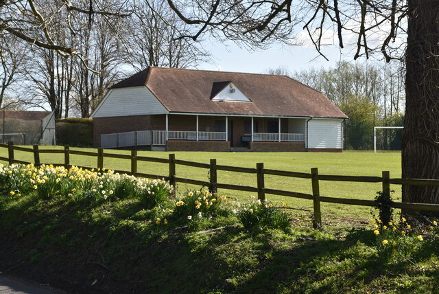
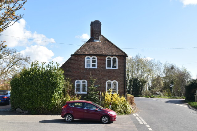
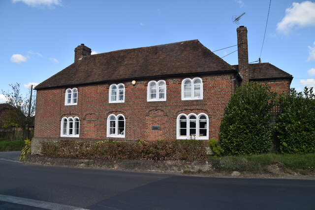
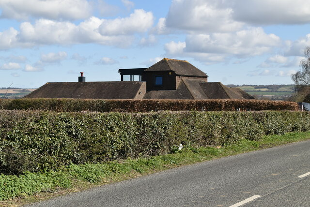
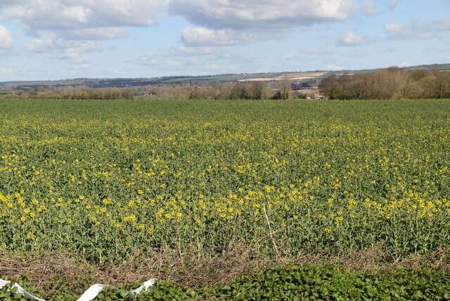
Black Bushes is a dense woodland area located in the county of Kent, England. Nestled amidst the picturesque countryside, it covers an approximate area of 100 acres, making it a prominent forest in the region. The woodland is characterized by a diverse range of trees, including oak, beech, ash, and birch, among others, which contribute to its lush and verdant appearance.
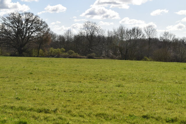
The forest is known for its rich biodiversity, providing a habitat for a wide variety of flora and fauna. The dense undergrowth serves as a sanctuary for numerous bird species, such as woodpeckers, thrushes, and owls, making it a popular spot for birdwatchers. Additionally, the forest is home to various mammals, including squirrels, foxes, and deer, which can often be spotted roaming freely within its boundaries.
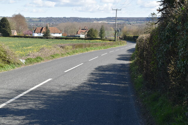
Black Bushes offers a tranquil and serene environment, attracting visitors who seek solace in nature. The forest provides ample opportunities for recreational activities such as hiking, walking, and cycling, with well-maintained trails meandering through the woodland. These trails allow visitors to explore the forest's natural beauty, offering breathtaking vistas and secluded spots for picnics or quiet contemplation.
Managed by local authorities, Black Bushes ensures the preservation of its natural habitat and encourages sustainable practices. The woodland also plays an essential role in the local ecosystem, acting as a carbon sink and aiding in air purification.
Overall, Black Bushes in Kent is a cherished natural gem, cherished by locals and visitors alike for its scenic beauty, diverse wildlife, and recreational opportunities.
If you have any feedback on the listing, please let us know in the comments section below.
Black Bushes Images
Images are sourced within 2km of 51.184517/0.77475241 or Grid Reference TQ9446. Thanks to Geograph Open Source API. All images are credited.


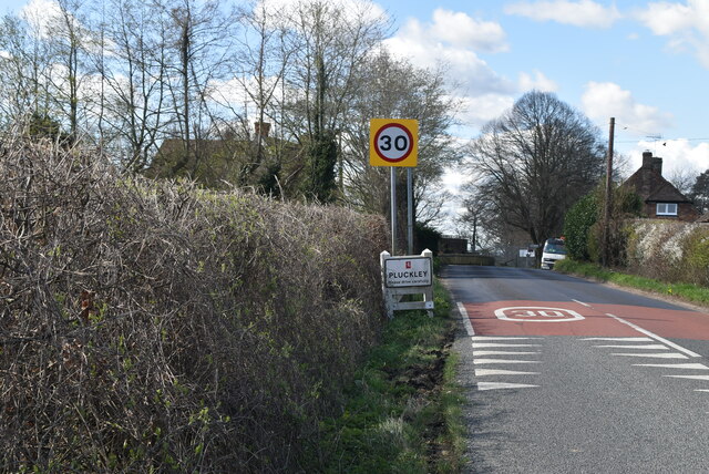
![Village sign, Pluckley King George VI recommended that the old custom of identifying villages with carved or painted name signs could be revived. In 1920, Biddenden had won a Daily Mail competition for a sign featuring the two Biddenden Maids.
More villages followed, especially in 1953, the Coronation of Queen Elizabeth II. More signs have been put up due to the Millennium. This has meant half of the county villages are identified.]
See also <a title="https://www.geograph.org.uk/article/Kent-Village-Signs" href="https://www.geograph.org.uk/article/Kent-Village-Signs">Link</a> , an article on Kent Village Signs](https://s2.geograph.org.uk/geophotos/06/96/09/6960930_24d02c9f.jpg)
![Village sign, Pluckley King George VI recommended that the old custom of identifying villages with carved or painted name signs could be revived. In 1920, Biddenden had won a Daily Mail competition for a sign featuring the two Biddenden Maids.
More villages followed, especially in 1953, the Coronation of Queen Elizabeth II. More signs have been put up due to the Millennium. This has meant half of the county villages are identified.]
See also <a title="https://www.geograph.org.uk/article/Kent-Village-Signs" href="https://www.geograph.org.uk/article/Kent-Village-Signs">Link</a> , an article on Kent Village Signs](https://s0.geograph.org.uk/geophotos/06/96/09/6960932_1ec72963.jpg)
Black Bushes is located at Grid Ref: TQ9446 (Lat: 51.184517, Lng: 0.77475241)
Administrative County: Kent
District: Ashford
Police Authority: Kent
What 3 Words
///snooping.couple.evidently. Near Charing, Kent
Nearby Locations
Related Wikis
Little Chart
Little Chart is a village and civil parish, situated 4 miles (6.4 km) north-west of Ashford in Kent, South East England. The parish lies south of the M20...
Pluckley
Pluckley is a village and civil parish in the Ashford district of Kent, England. The civil parish includes the adjacent hamlet of Pluckley Thorne. �...

Smarden
Smarden is a civil parish and village, west of Ashford in Kent, South East England. The village has the Anglican parish church of St Michael the Archangel...

Westwell Leacon
Westwell Leacon is a hamlet in the civil parish of Charing near Ashford in Kent, England. Its most famous resident is international Cyclocross star Ian...
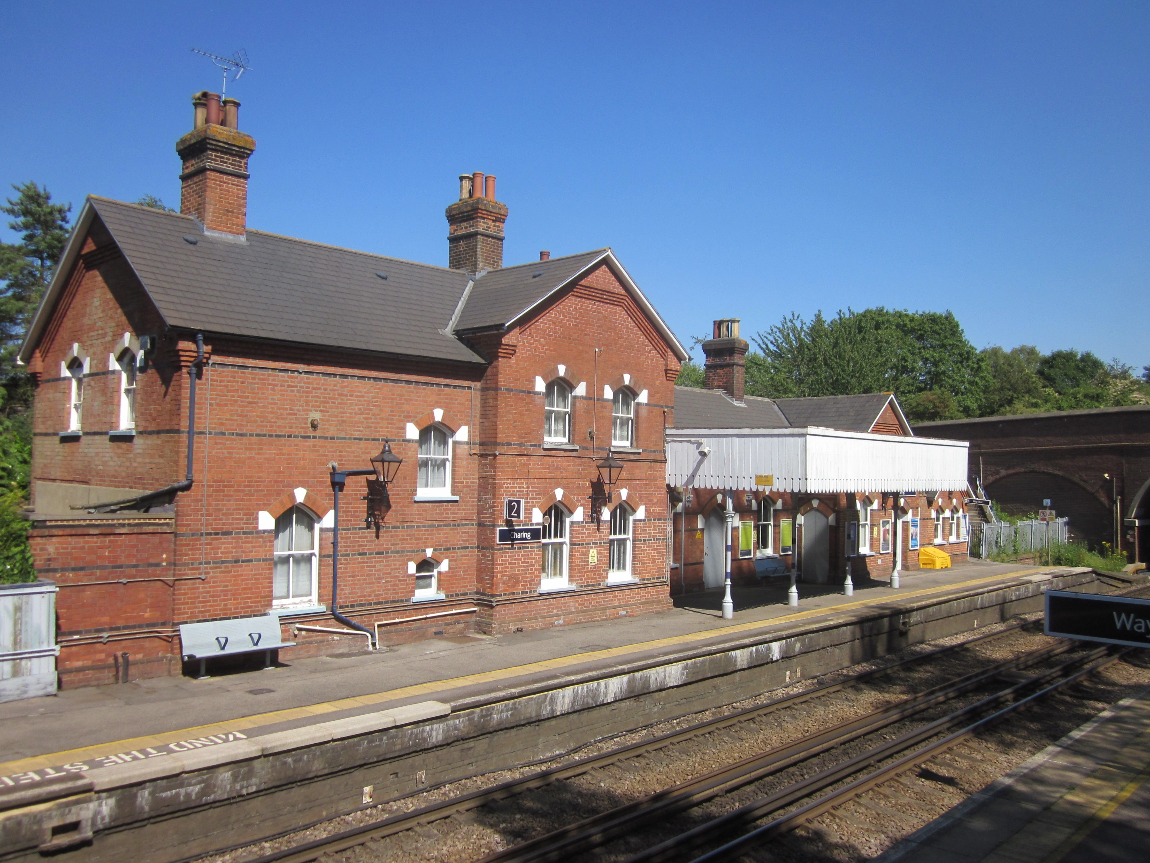
Charing railway station
Charing railway station serves the village of Charing in Kent, England. It is 53 miles 11 chains (85.5 km) down the line from London Victoria. The station...

Hothfield Common
Hothfield Common is a 56.5-hectare (140-acre) biological Site of Special Scientific Interest north-east of Ashford in Kent. It is also a Local Nature...
Stonebridge Green
Stonebridge Green is a settlement adjacent to, and within the civil parish of, Egerton in the Ashford District of Kent, England. It lies immediately north...
Volvo World Match Play Championship
The Volvo World Match Play Championship was an annual match play men's professional golf tournament which was staged from 1964 to 2014. The World Match...
Related Videos
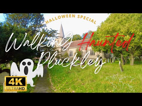
Walking Most Haunted Village in England UHD 4K | Pluckley Halloween Special | October 2022
Pluckley in Kent is famous as the most haunted place in England. The village is reported to have around 12 ghosts and was in ...

Charing to Lenham 13 Mile walk
A 13 Mile circular walk from Charing to Lenham in Kent UK.

Pluckley to Hothfield Heathlands Walk // Highland Cows and Konik Ponies!
highlandcows #hothfieldheathland #pluckley A huge thanks to Simon for walking with me. I hope we can walk together again very ...

Britain's most HAUNTED village!
To celebrate Halloween in the UK, I decided to visit the most haunted village in Britain! Did you know the spookiest place in Britain ...
Nearby Amenities
Located within 500m of 51.184517,0.77475241Have you been to Black Bushes?
Leave your review of Black Bushes below (or comments, questions and feedback).