Freeds Alders
Wood, Forest in Kent Ashford
England
Freeds Alders
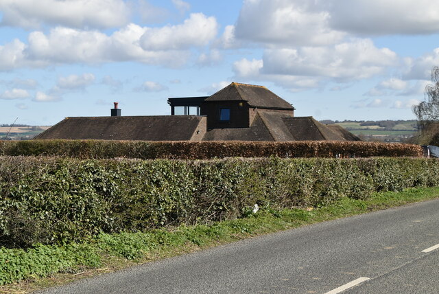
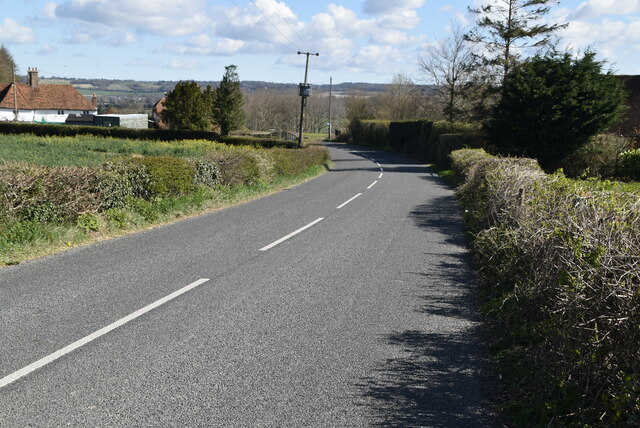
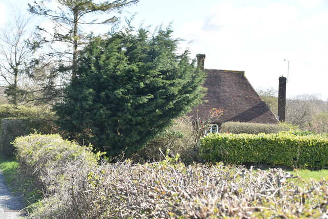
Freeds Alders, located in Kent, England, is a captivating woodland area, known for its pristine beauty and rich biodiversity. Spanning over a vast expanse, this forest is a haven for nature enthusiasts and offers a wide range of activities for visitors to enjoy.
The woodlands of Freeds Alders are predominantly composed of alder trees, hence its name. These trees create a unique and enchanting atmosphere, with their slender trunks and delicate leaves providing a serene backdrop. The forest floor is adorned with a variety of wildflowers, adding splashes of vibrant colors to the landscape.
The diverse fauna of Freeds Alders is another highlight of this woodland area. Visitors may have the opportunity to spot various bird species, including woodpeckers, owls, and thrushes. The forest is also home to small mammals such as foxes, badgers, and squirrels, which can often be seen scurrying through the undergrowth.
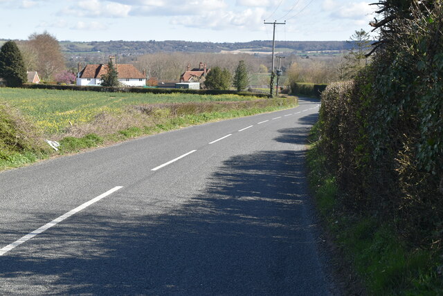
For those looking to explore the woods, Freeds Alders offers a network of well-maintained walking trails. These trails wind through the forest, allowing visitors to immerse themselves in the tranquil surroundings and discover hidden gems along the way. Birdwatching and photography are popular activities in this area, as the woodland offers numerous picturesque spots and opportunities to capture the beauty of nature.
Freeds Alders is a true gem of Kent, offering visitors a chance to escape the hustle and bustle of everyday life and connect with the wonders of the natural world. Whether it's a leisurely stroll, a birdwatching expedition, or simply a peaceful retreat, this forest provides an unforgettable experience for all who venture within its leafy embrace.
If you have any feedback on the listing, please let us know in the comments section below.
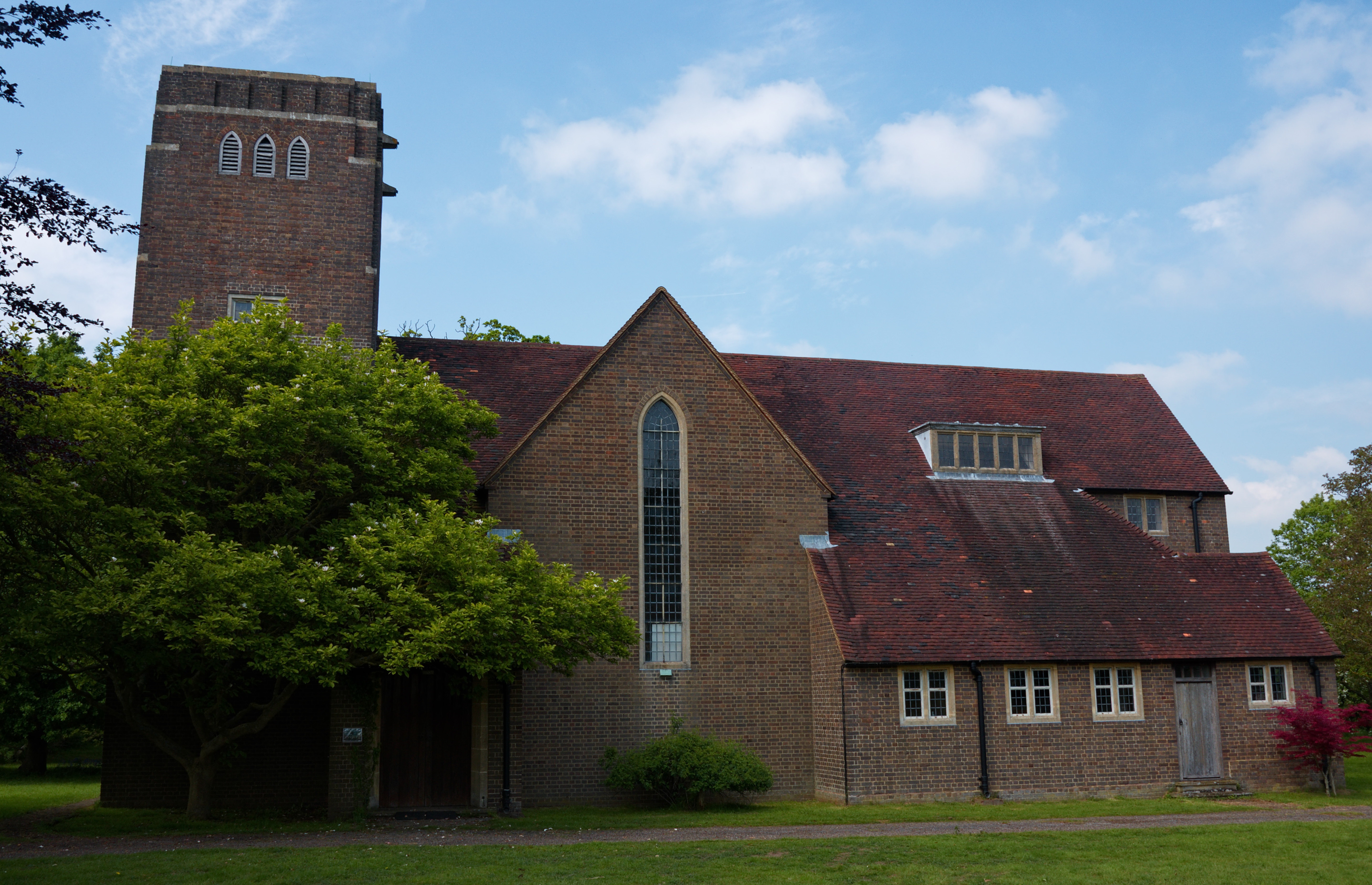
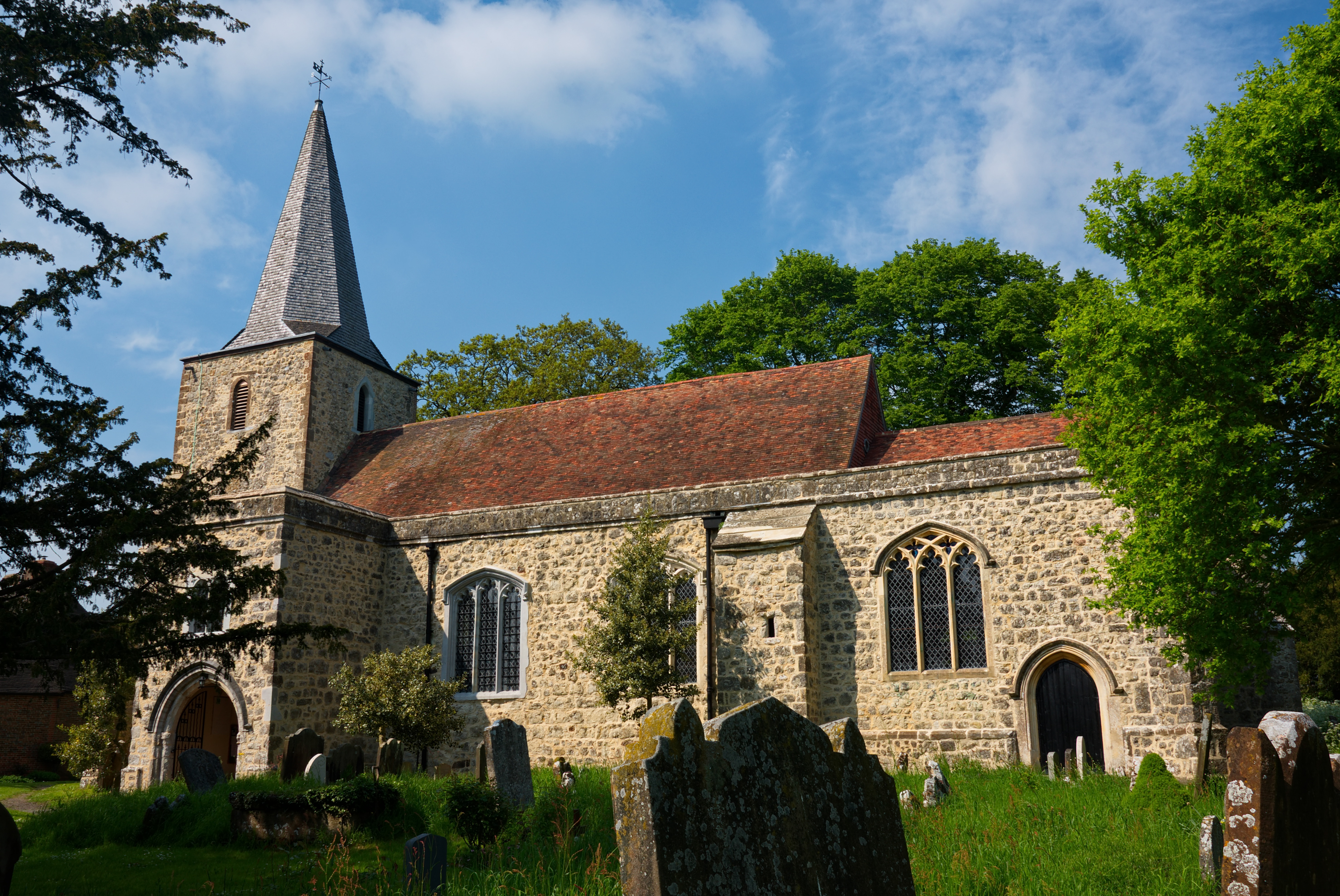
Freeds Alders Images
Images are sourced within 2km of 51.183695/0.78659546 or Grid Reference TQ9446. Thanks to Geograph Open Source API. All images are credited.


Freeds Alders is located at Grid Ref: TQ9446 (Lat: 51.183695, Lng: 0.78659546)
Administrative County: Kent
District: Ashford
Police Authority: Kent
What 3 Words
///vows.infringe.gathers. Near Charing, Kent
Nearby Locations
Related Wikis
Little Chart
Little Chart is a village and civil parish, situated 4 miles (6.4 km) north-west of Ashford in Kent, South East England. The parish lies south of the M20...

Westwell Leacon
Westwell Leacon is a hamlet in the civil parish of Charing near Ashford in Kent, England. Its most famous resident is international Cyclocross star Ian...

Hothfield Common
Hothfield Common is a 56.5-hectare (140-acre) biological Site of Special Scientific Interest north-east of Ashford in Kent. It is also a Local Nature...
Pluckley
Pluckley is a village and civil parish in the Ashford district of Kent, England. The civil parish includes the adjacent hamlet of Pluckley Thorne. �...

Smarden
Smarden is a civil parish and village, west of Ashford in Kent, South East England. The village has the Anglican parish church of St Michael the Archangel...
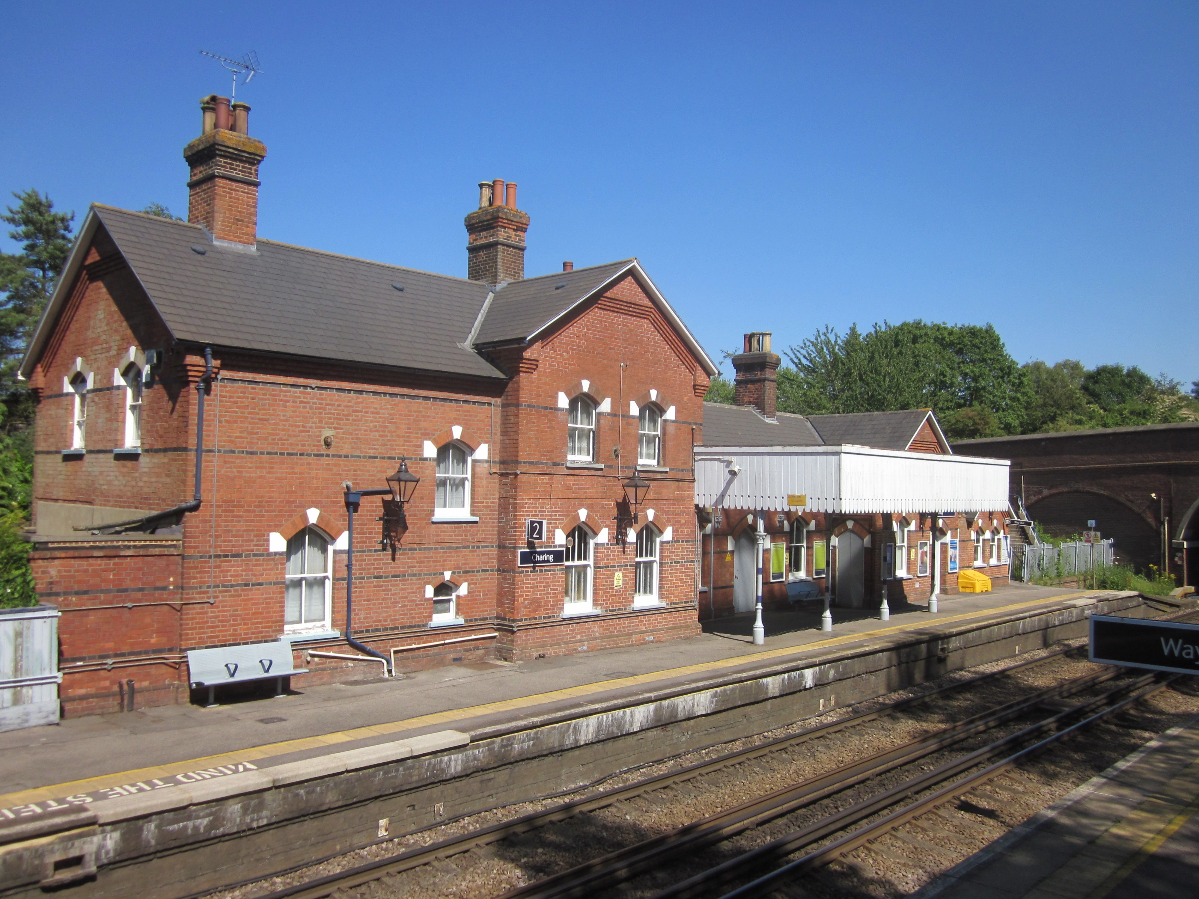
Charing railway station
Charing railway station serves the village of Charing in Kent, England. It is 53 miles 11 chains (85.5 km) down the line from London Victoria. The station...

Hothfield
Hothfield is a village and civil parish in the Ashford Borough of Kent, England and is 3 miles north-west of Ashford on the A20. It is completely split...
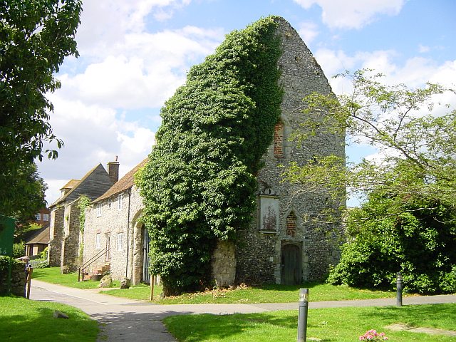
Archbishop's Palace, Charing
Archbishop's Palace, Charing, is an important heritage site dating back to the eighth century, and one of the earliest to be owned by the see of Canterbury...
Related Videos
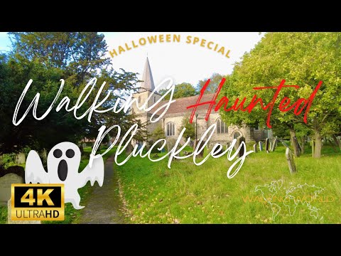
Walking Most Haunted Village in England UHD 4K | Pluckley Halloween Special | October 2022
Pluckley in Kent is famous as the most haunted place in England. The village is reported to have around 12 ghosts and was in ...

Charing to Lenham 13 Mile walk
A 13 Mile circular walk from Charing to Lenham in Kent UK.

Pluckley to Hothfield Heathlands Walk // Highland Cows and Konik Ponies!
highlandcows #hothfieldheathland #pluckley A huge thanks to Simon for walking with me. I hope we can walk together again very ...

Britain's most HAUNTED village!
To celebrate Halloween in the UK, I decided to visit the most haunted village in Britain! Did you know the spookiest place in Britain ...
Nearby Amenities
Located within 500m of 51.183695,0.78659546Have you been to Freeds Alders?
Leave your review of Freeds Alders below (or comments, questions and feedback).