Field Shaw
Wood, Forest in Kent Ashford
England
Field Shaw

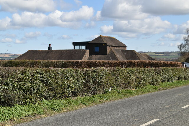
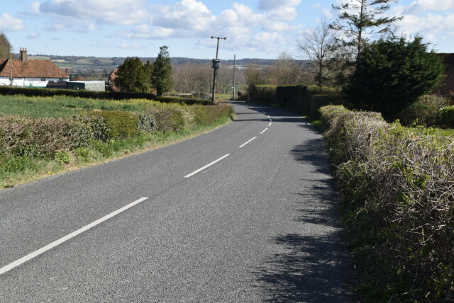
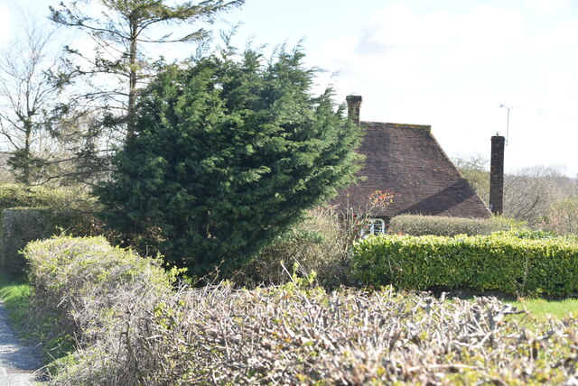
Field Shaw is a picturesque woodland area located in Kent, England. Nestled within the larger Shaw Wood, this forested landscape offers a tranquil and serene environment for visitors to explore and enjoy.
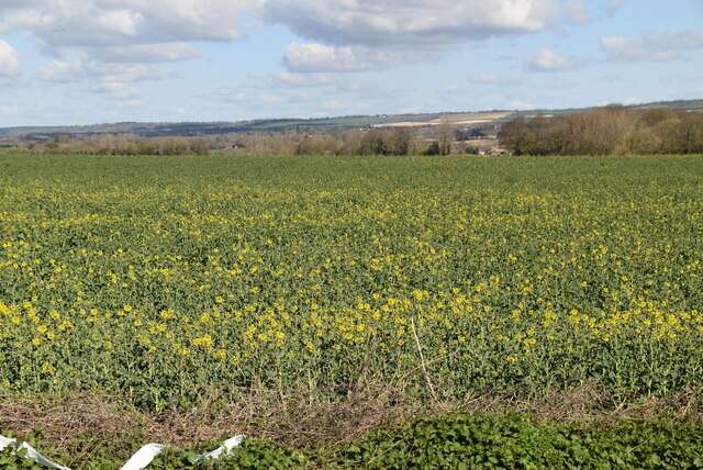
Covering an area of approximately 100 acres, Field Shaw is home to a diverse range of flora and fauna. The woodland is predominantly composed of deciduous trees, such as oak, beech, and birch, which provide a vibrant display of colors throughout the seasons. Bluebells and wildflowers carpet the forest floor in the spring, creating a breathtaking sight.
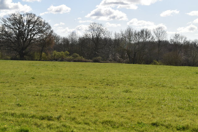
The forest is also a habitat for a variety of wildlife species. Bird enthusiasts can spot numerous species, including woodpeckers, tits, and thrushes, while small mammals like foxes, rabbits, and squirrels are frequently seen darting through the undergrowth. Field Shaw is also known for its rich insect population, with butterflies and dragonflies adding splashes of color to the surroundings.
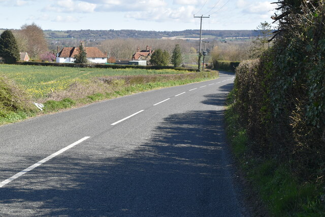
Visitors to Field Shaw can enjoy a range of activities within the woodland. The area boasts several walking trails that wind through the forest, allowing hikers to explore the diverse terrain and take in the natural beauty. Additionally, the forest provides an excellent opportunity for photography enthusiasts, with its stunning landscapes and abundant wildlife.
Field Shaw is a popular destination for nature lovers, offering a peaceful retreat from the hustle and bustle of city life. Whether it be for a leisurely walk, birdwatching, or simply enjoying the tranquility of the woods, Field Shaw provides a beautiful and enriching experience for all who visit.
If you have any feedback on the listing, please let us know in the comments section below.
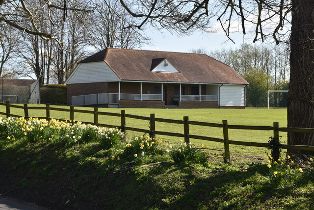
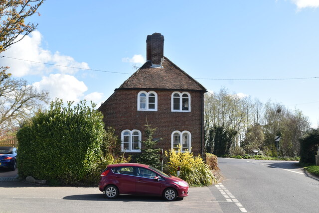
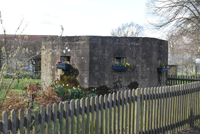
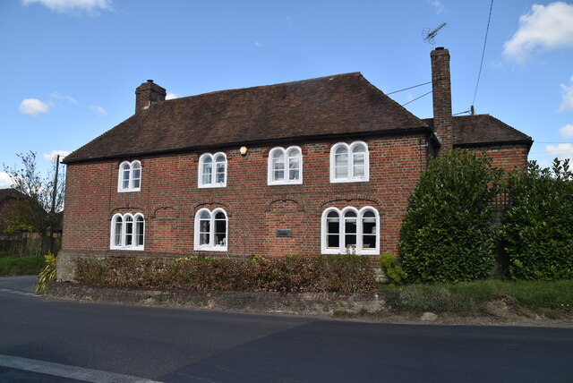
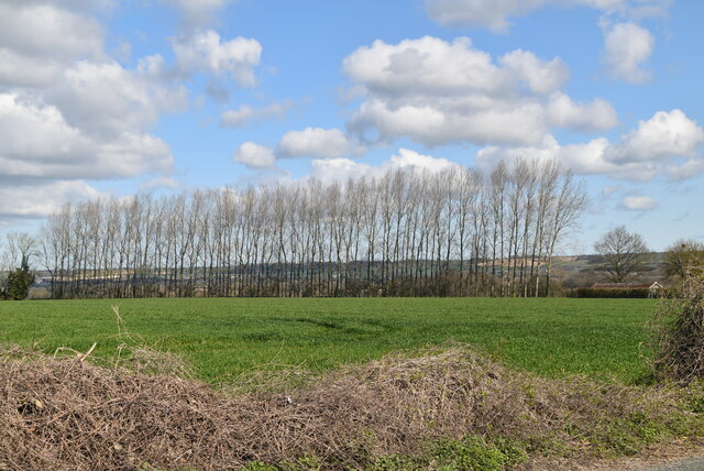
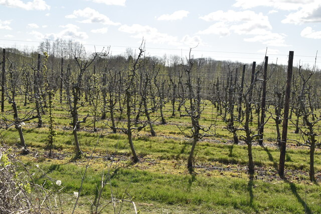
Field Shaw Images
Images are sourced within 2km of 51.183693/0.77760806 or Grid Reference TQ9446. Thanks to Geograph Open Source API. All images are credited.

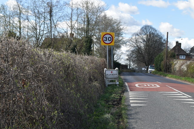
![Village sign, Pluckley King George VI recommended that the old custom of identifying villages with carved or painted name signs could be revived. In 1920, Biddenden had won a Daily Mail competition for a sign featuring the two Biddenden Maids.
More villages followed, especially in 1953, the Coronation of Queen Elizabeth II. More signs have been put up due to the Millennium. This has meant half of the county villages are identified.]
See also <a title="https://www.geograph.org.uk/article/Kent-Village-Signs" href="https://www.geograph.org.uk/article/Kent-Village-Signs">Link</a> , an article on Kent Village Signs](https://s2.geograph.org.uk/geophotos/06/96/09/6960930_24d02c9f.jpg)
![Village sign, Pluckley King George VI recommended that the old custom of identifying villages with carved or painted name signs could be revived. In 1920, Biddenden had won a Daily Mail competition for a sign featuring the two Biddenden Maids.
More villages followed, especially in 1953, the Coronation of Queen Elizabeth II. More signs have been put up due to the Millennium. This has meant half of the county villages are identified.]
See also <a title="https://www.geograph.org.uk/article/Kent-Village-Signs" href="https://www.geograph.org.uk/article/Kent-Village-Signs">Link</a> , an article on Kent Village Signs](https://s0.geograph.org.uk/geophotos/06/96/09/6960932_1ec72963.jpg)
Field Shaw is located at Grid Ref: TQ9446 (Lat: 51.183693, Lng: 0.77760806)
Administrative County: Kent
District: Ashford
Police Authority: Kent
What 3 Words
///bouncing.majoring.powering. Near Charing, Kent
Nearby Locations
Related Wikis
Little Chart
Little Chart is a village and civil parish, situated 4 miles (6.4 km) north-west of Ashford in Kent, South East England. The parish lies south of the M20...
Pluckley
Pluckley is a village and civil parish in the Ashford district of Kent, England. The civil parish includes the adjacent hamlet of Pluckley Thorne. �...

Smarden
Smarden is a civil parish and village, west of Ashford in Kent, South East England. The village has the Anglican parish church of St Michael the Archangel...

Westwell Leacon
Westwell Leacon is a hamlet in the civil parish of Charing near Ashford in Kent, England. Its most famous resident is international Cyclocross star Ian...

Hothfield Common
Hothfield Common is a 56.5-hectare (140-acre) biological Site of Special Scientific Interest north-east of Ashford in Kent. It is also a Local Nature...
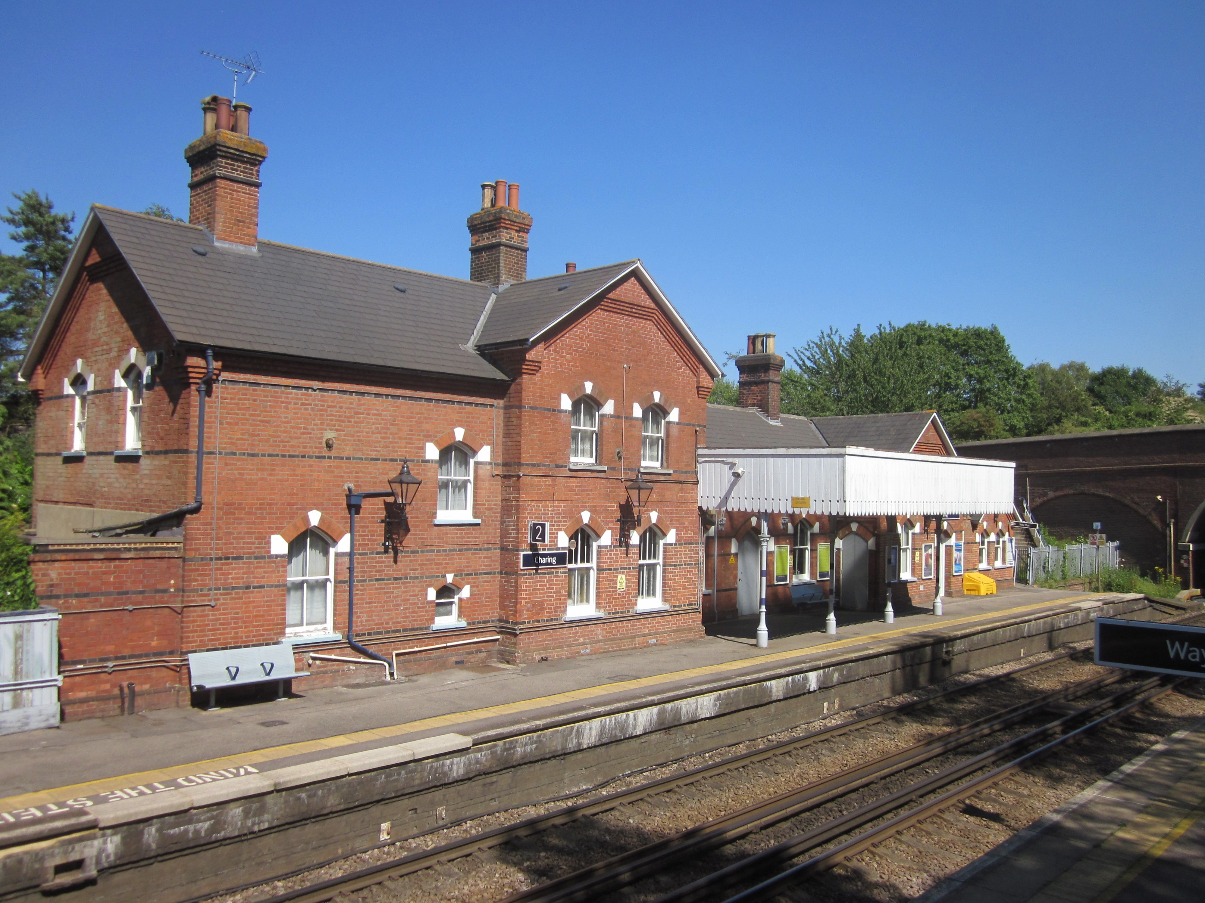
Charing railway station
Charing railway station serves the village of Charing in Kent, England. It is 53 miles 11 chains (85.5 km) down the line from London Victoria. The station...
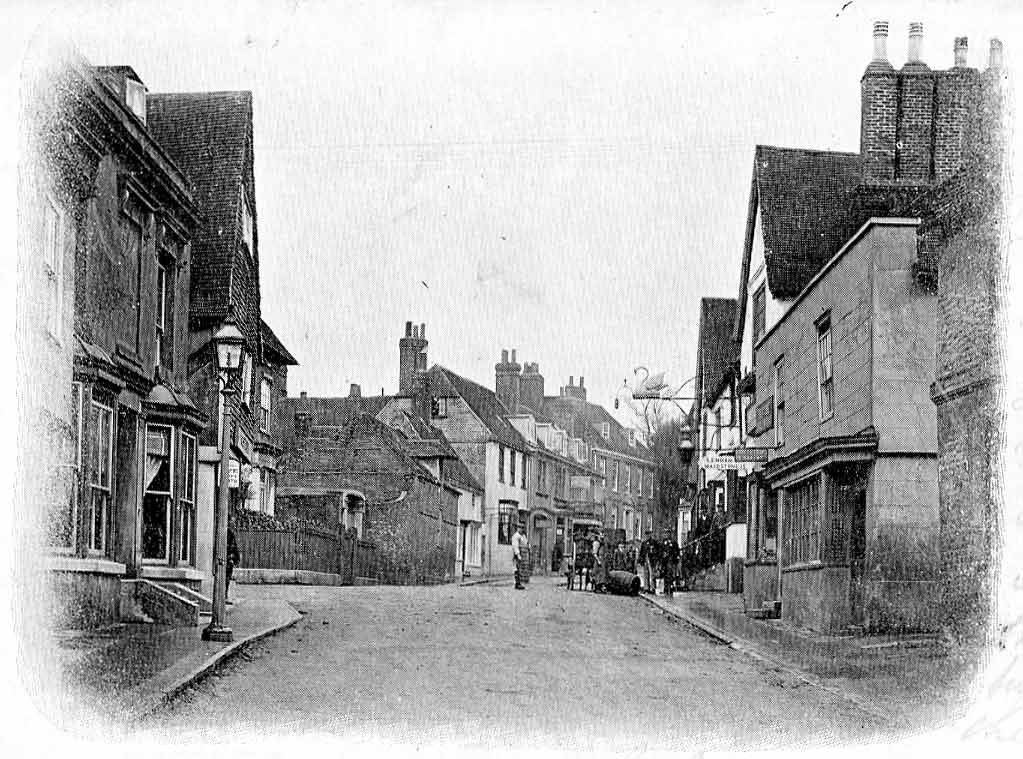
Charing
Charing is a village and civil parish in the Ashford District of Kent, in south-east England. It includes the settlements of Charing Heath and Westwell...
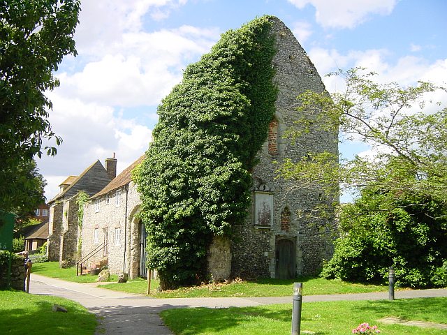
Archbishop's Palace, Charing
Archbishop's Palace, Charing, is an important heritage site dating back to the eighth century, and one of the earliest to be owned by the see of Canterbury...
Nearby Amenities
Located within 500m of 51.183693,0.77760806Have you been to Field Shaw?
Leave your review of Field Shaw below (or comments, questions and feedback).